The best running trails around Kutzenhausen
4.4
(352)
5,537
runners
16
runs
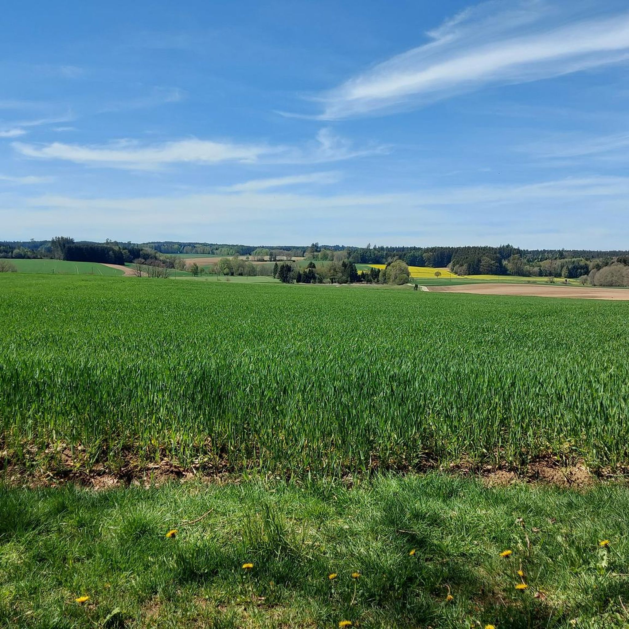
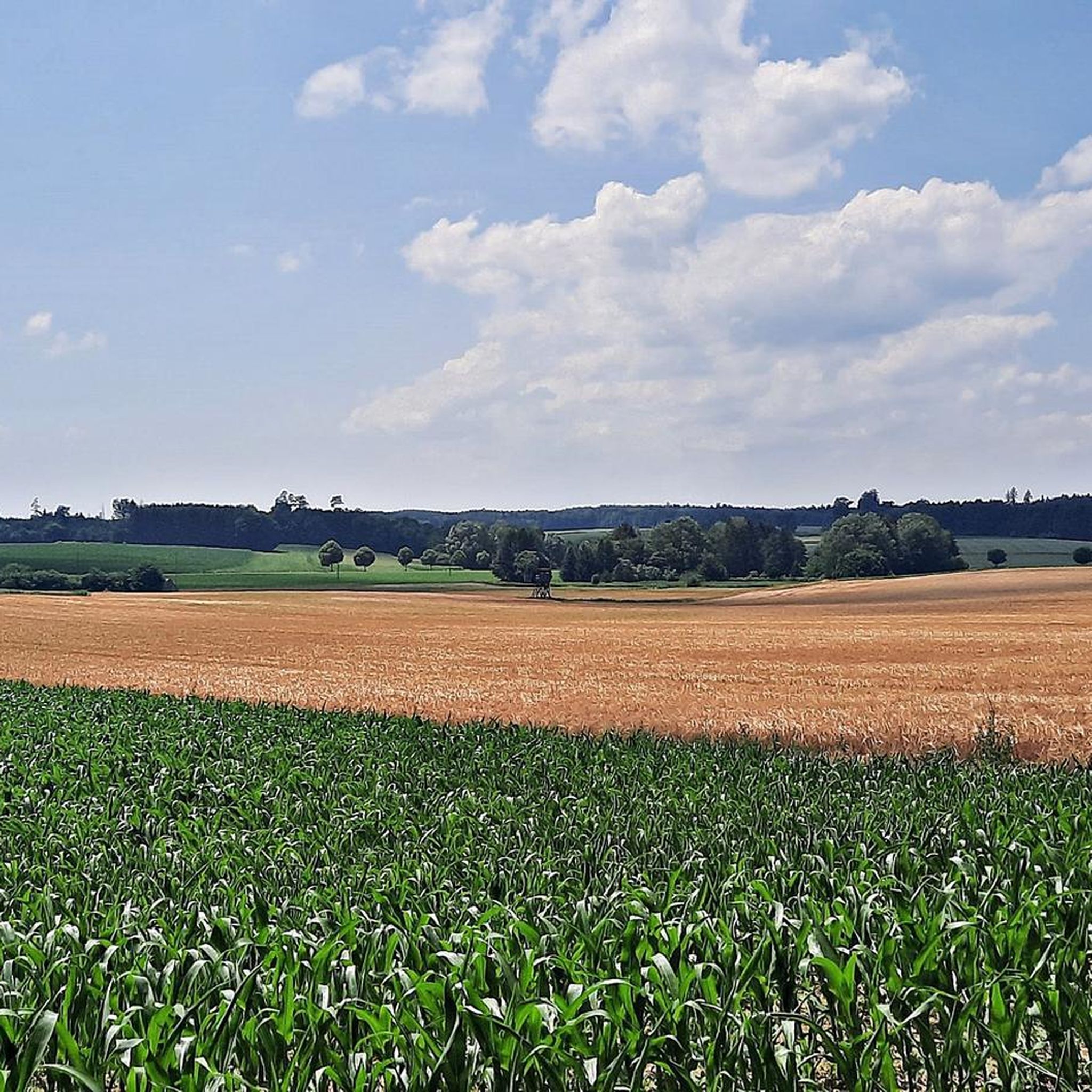
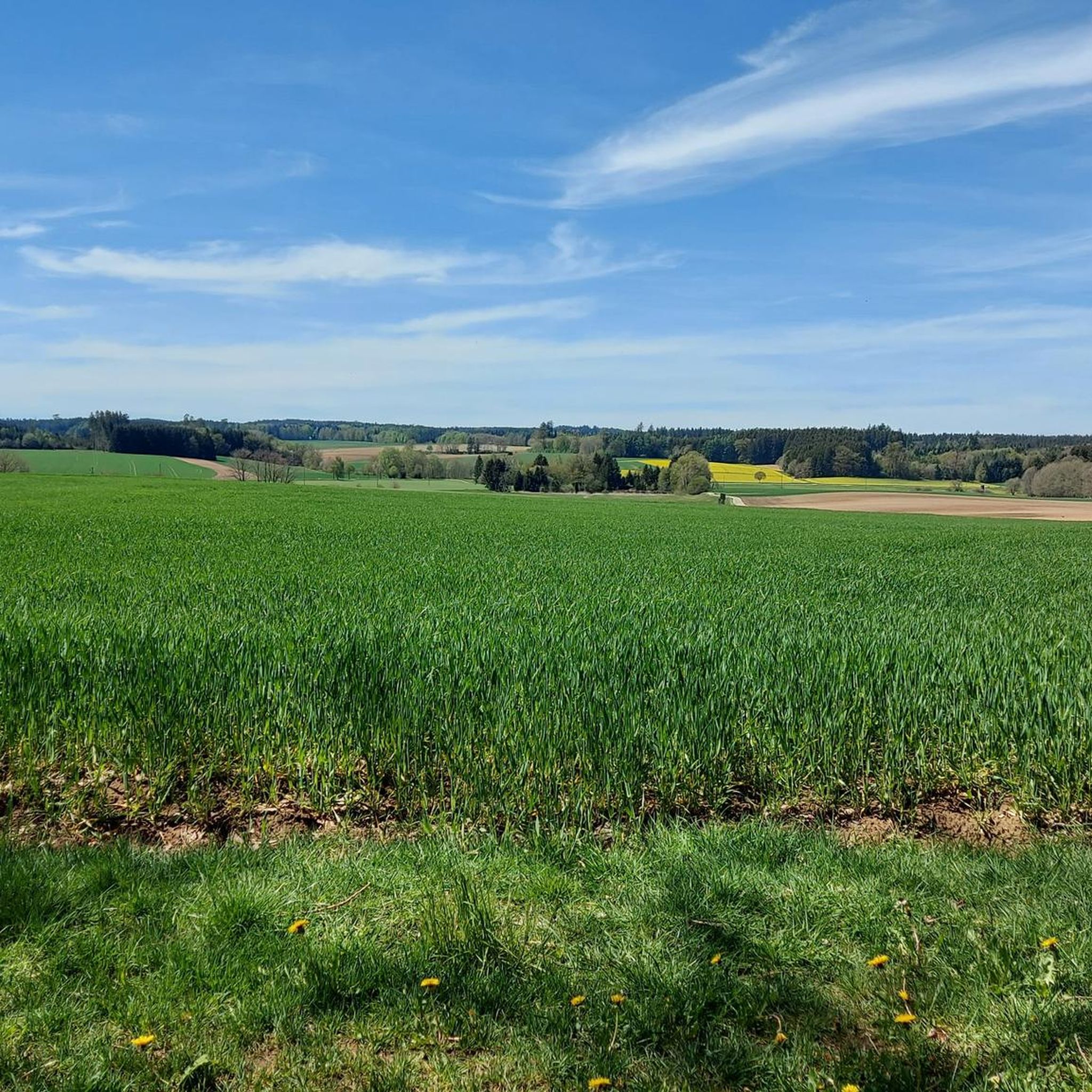
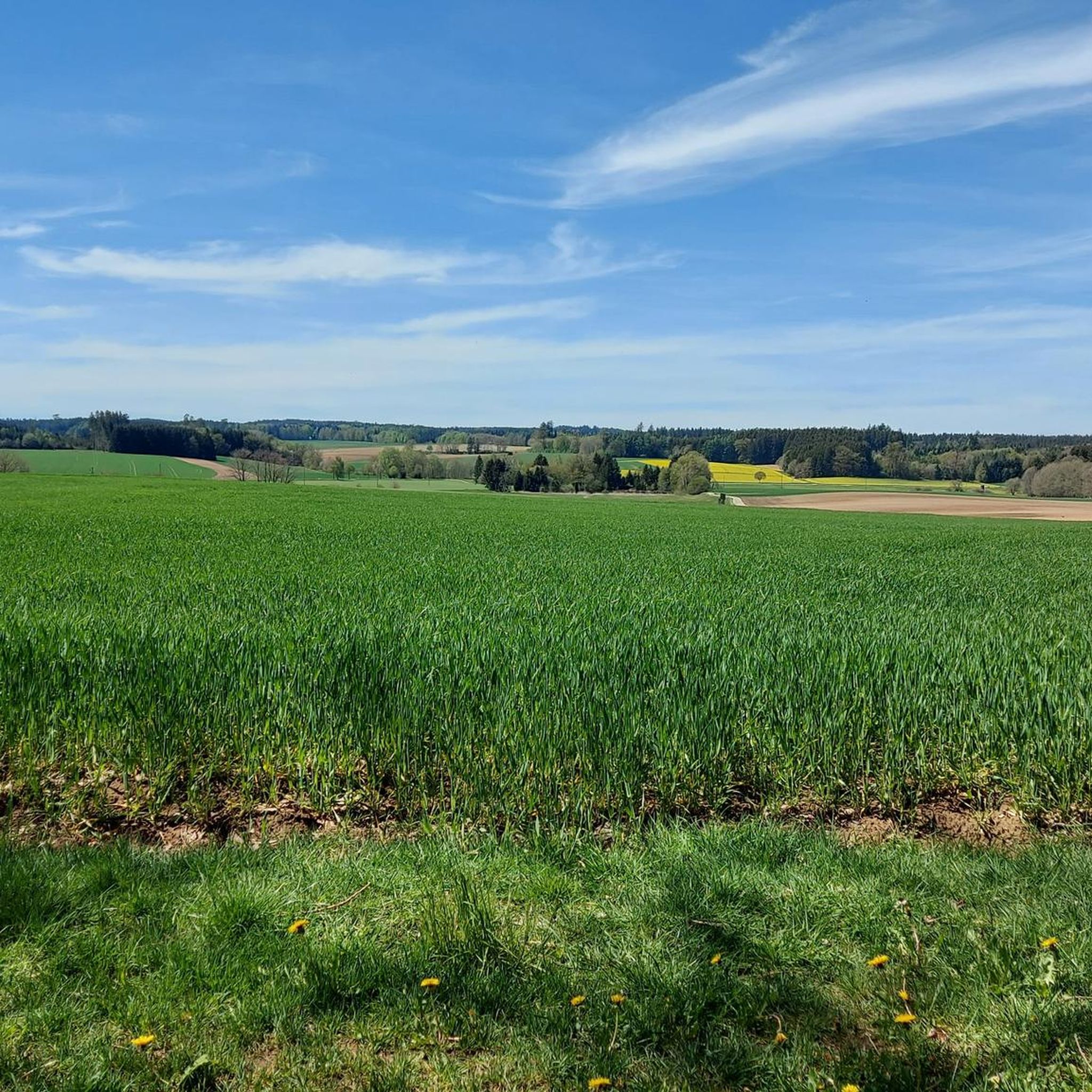
Jogging around Kutzenhausen offers diverse running routes through the landscape of Bavaria, Germany. The region is characterized by its location at the edge of the Augsburg-Westliche Wälder nature park, providing a mix of forests, meadows, and gentle rolling hills. Runners can explore scenic paths along the River Schmutter and through quiet village roads, many of which are car-free. The area features varied terrain, including forest paths and gravel trails, suitable for different running preferences.
Best jogging routes around Kutzenhausen
- The…
Last updated: July 11, 2026
7
runners
7.40km
00:47
60m
60m
Moderate run. Good fitness required. Mostly paved surfaces. Suitable for all skill levels.
6
runners
8.60km
00:55
90m
90m
Moderate run. Good fitness required. Mostly paved surfaces. Suitable for all skill levels.

Sign up for free
8
runners
8.79km
00:56
140m
140m
Moderate run. Good fitness required. Mostly paved surfaces. Suitable for all skill levels.
3
runners
5.80km
00:39
30m
30m
Moderate run. Good fitness required. Mostly paved surfaces. Suitable for all skill levels.
5
runners
6.49km
00:40
40m
40m
Moderate run. Good fitness required. Mostly paved surfaces. Suitable for all skill levels.
Get access to more routes and recommendations from other explorers.
Sign up for free
Already have an account?
Our route recommendations are based on thousands of hikes, rides, and runs completed by other people on komoot.
Start today with a free account
Your next adventure awaits.
Login or Signup

Frequently Asked Questions
How many running routes are available around Kutzenhausen?
There are over 580 running routes available around Kutzenhausen, offering a wide variety of options for all skill levels. You'll find everything from easy loops to more challenging trails with gentle ascents.
Are there easy running routes suitable for beginners or families?
Yes, Kutzenhausen offers numerous easy running routes perfect for beginners or families. For example, the Running loop from Dietkirch is an easy 2.9-mile (4.7 km) path that provides a relaxed run through the local countryside. Overall, there are 88 easy routes to choose from.
What kind of terrain can I expect on the running trails in Kutzenhausen?
The running trails in Kutzenhausen feature diverse terrain, including soft forest paths and gravel trails, which are comfortable for running and provide lower impact on joints. You'll also find paths along the Schmutter River and quiet village roads, many of which are car-free. The region's location within the Augsburg-Westliche Wälder nature park means varied landscapes with forests, meadows, and gentle rolling hills.
Are there circular running routes in the area?
Yes, many of the running routes around Kutzenhausen are circular, allowing you to start and finish at the same point. A popular option is the View of the Schmutter Valley – Schmutter River near Deubach loop from Gessertshausen, a 4.0-mile (6.5 km) trail offering scenic views.
What are some scenic highlights or points of interest along the running routes?
While jogging around Kutzenhausen, you can enjoy beautiful views over fields and through charming villages. The presence of the Schmutter River means picturesque runs along its banks, especially in spring when the Schmutter meadows are in bloom. You might also encounter natural monuments like Panzerkessel Deuringen, or pass by cultural sites such as Oberschönenfeld Abbey, which is featured on the Oberschönenfeld Abbey loop from Gessertshausen.
Is there parking available near the running trails?
While specific parking details for every route vary, the broader Landkreis Augsburg, which includes Kutzenhausen, generally offers accessible parking options near popular trailheads and recreational areas. Many routes start from villages or towns where parking is typically available.
What do other runners enjoy most about jogging in Kutzenhausen?
The running routes in Kutzenhausen are highly rated by the komoot community, with an average score of 4.4 stars from over 300 reviews. Runners often praise the tranquil, natural setting, the scenic beauty of the Schmutter River and meadows, and the comfortable running surfaces provided by the forest and gravel paths. The variety of routes catering to different ability levels is also a frequently mentioned positive aspect.
Are there places to stop for refreshments after a run?
Yes, the region around Kutzenhausen offers options for refreshments. You can find various local establishments, including traditional Gasthäuser and cafes in nearby villages. For example, the Kulperhütte beer garden on the Wertach or Bahnhöfle Horgau are popular spots for a break.
What is the best time of year for running in Kutzenhausen?
Kutzenhausen offers pleasant running conditions throughout much of the year. Spring is particularly picturesque with the blooming Schmutter meadows. In summer, the extensive forest paths provide welcome shade. The gravel trails are suitable for various weather conditions, offering protection from rain, making autumn and milder winter days also viable for running.
Are there any routes that offer shade in summer or protection from rain?
Absolutely. Many running routes in Kutzenhausen traverse the extensive forested areas of the Augsburg-Westliche Wälder Nature Park. These forest paths provide excellent shade during warmer summer months and can offer some protection from light rain. The gravel trails are also known for being comfortable in various weather conditions.
Are there any less-known or 'hidden gem' running routes in the area?
While many routes are well-loved, the vast network of trails, particularly those deeper within the Augsburg-Westliche Wälder Nature Park, offers opportunities to discover quieter paths away from the most popular spots. Exploring routes like the Klosterweiher Oberschönenfeld loop from Gessertshausen might lead you to serene, less-trafficked sections of the park.
Can I reach the running routes by public transport?
Kutzenhausen and its surrounding villages are part of the broader public transport network of the Augsburg district. While direct access to every trailhead might require some planning, many starting points for running routes are accessible via local bus services, especially those originating from larger towns like Gessertshausen.
Most popular routes around Kutzenhausen
Most popular attractions around Kutzenhausen

Get inspired with the komoot mobile app


Explore more
Browse the best Running Trails & Routes in other regions.
