The best walks and hikes around Great Bradley
4.2
(96)
800
hikers
70
hikes
Hiking around Great Bradley offers a mix of historical features, open countryside, and accessible trails on the Suffolk/Cambridge border. The region is characterized by rolling farmland, ancient woodlands like Lucy Wood, and significant historical earthworks such as Devil's Dyke. The Stour Valley Path also provides opportunities to explore the river's course.
Best hiking trails around Great Bradley
- The most popular hiking route is Church of St Mary – Woodditton Water Tower loop from Woodditton, a 4.0 miles (6.4 km)…
Last updated: July 6, 2026
12
hikers
6.41km
01:42
60m
60m
Easy hike. Great for any fitness level. Easily-accessible paths. Suitable for all skill levels.
5.0
(1)
13
hikers
22.0km
05:44
150m
150m
Hard hike. Very good fitness required. Easily-accessible paths. Suitable for all skill levels.

Sign up for free
5.0
(2)
9
hikers
Moderate hike. Good fitness required. Easily-accessible paths. Suitable for all skill levels.
5.0
(1)
3
hikers
9.27km
02:25
70m
70m
Moderate hike. Good fitness required. Easily-accessible paths. Suitable for all skill levels.
4.0
(1)
3
hikers
14.3km
03:45
100m
100m
Moderate hike. Good fitness required. Easily-accessible paths. Suitable for all skill levels.
Get access to more routes and recommendations from other explorers.
Sign up for free
Already have an account?
Our route recommendations are based on thousands of hikes, rides, and runs completed by other people on komoot.
Start today with a free account
Your next adventure awaits.
Login or Signup
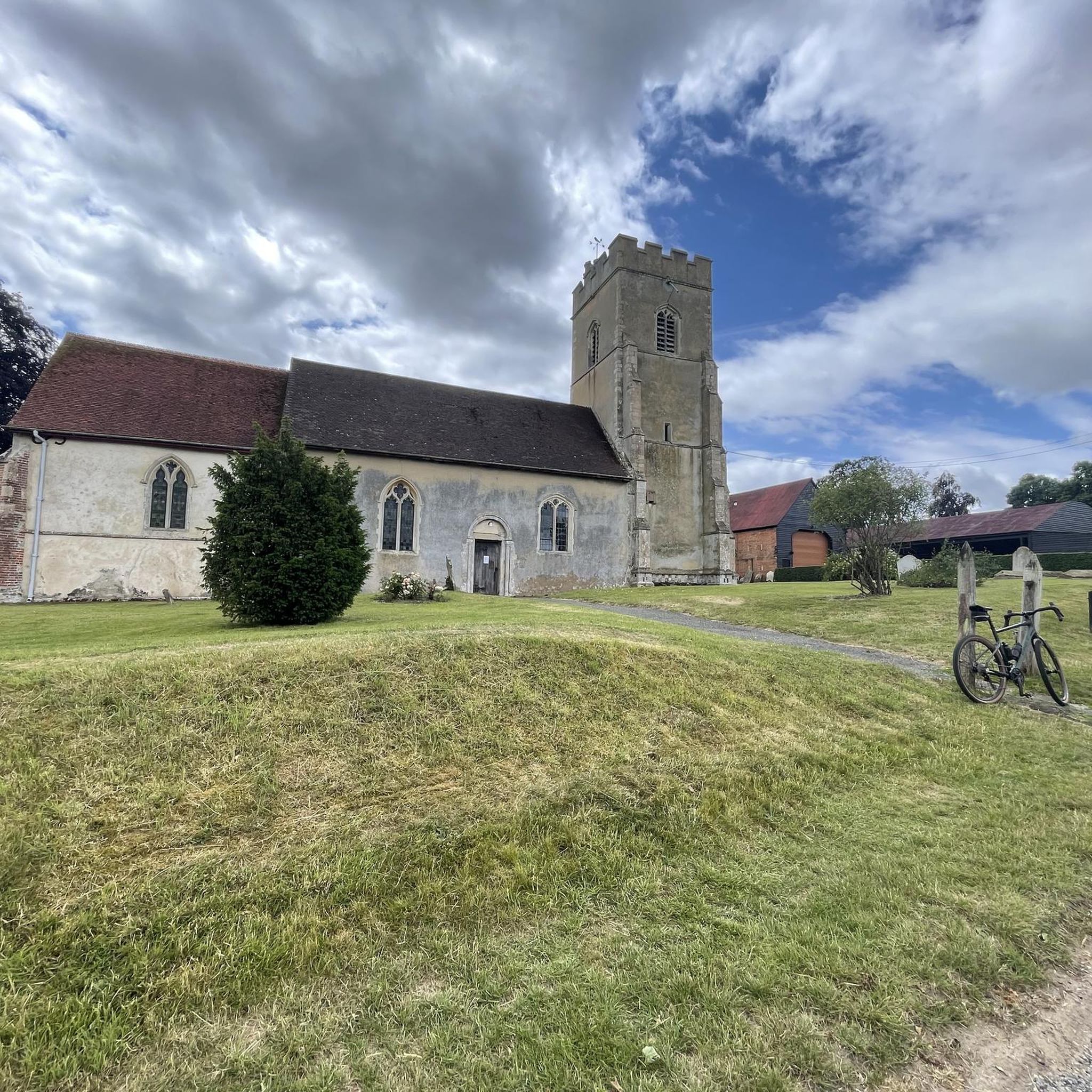
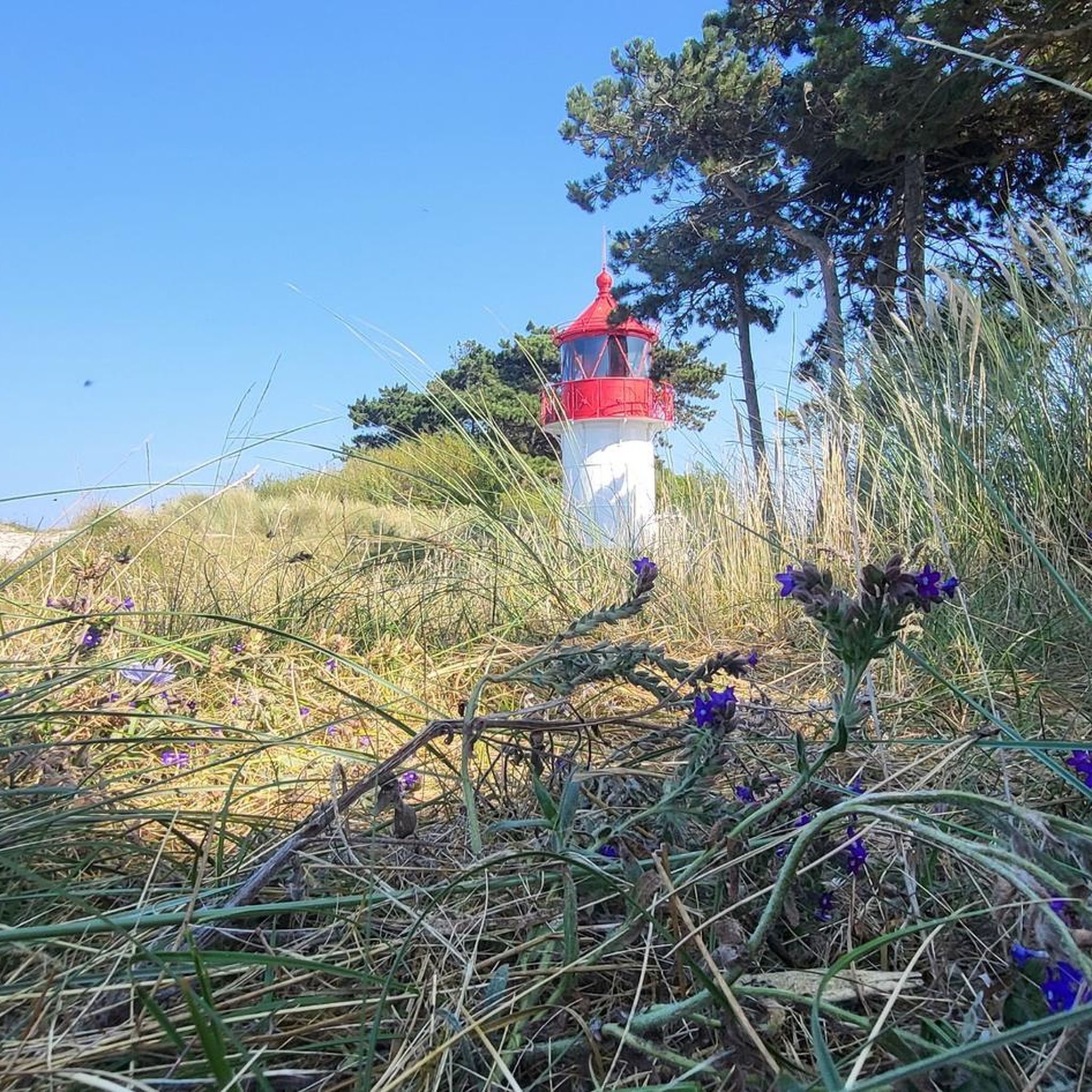
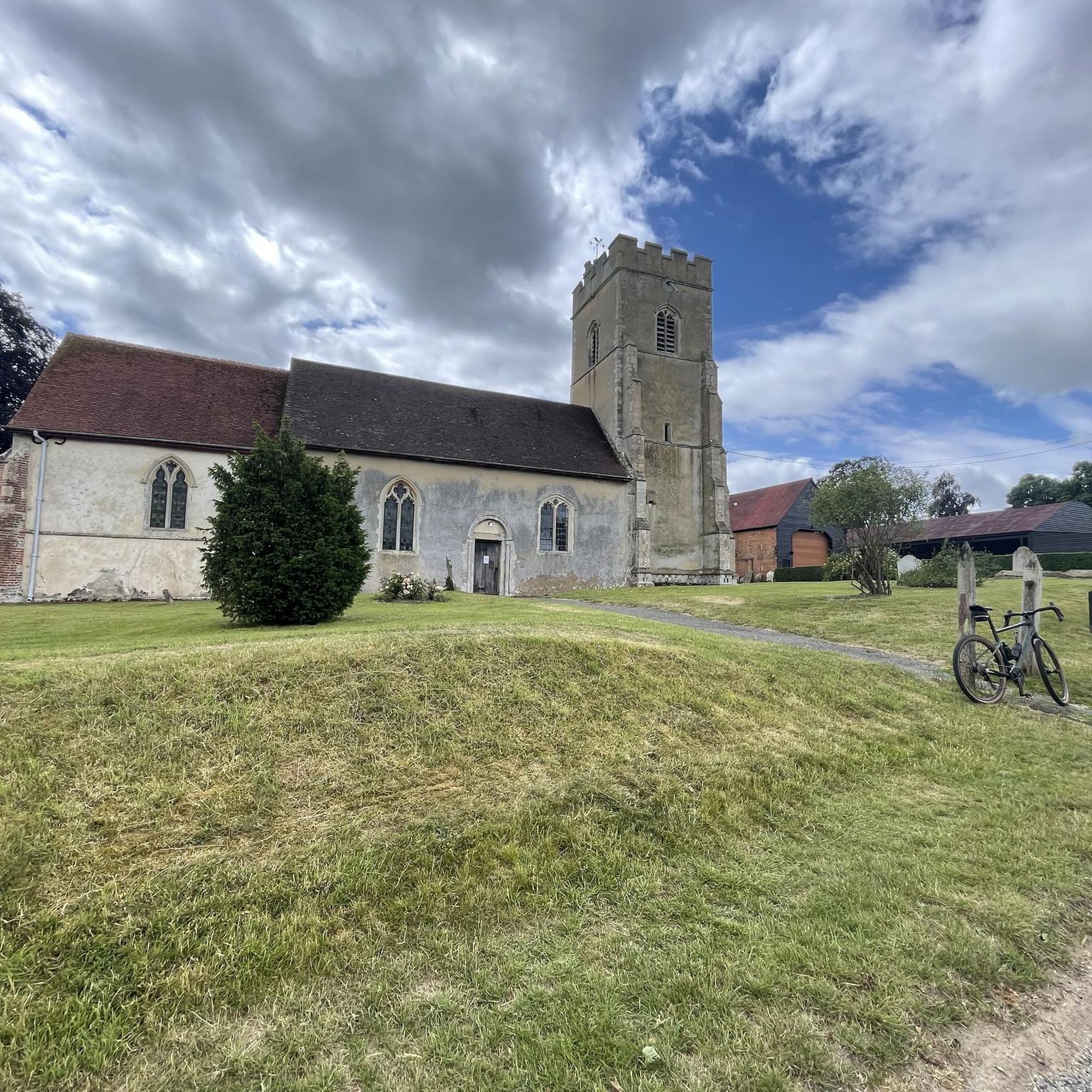
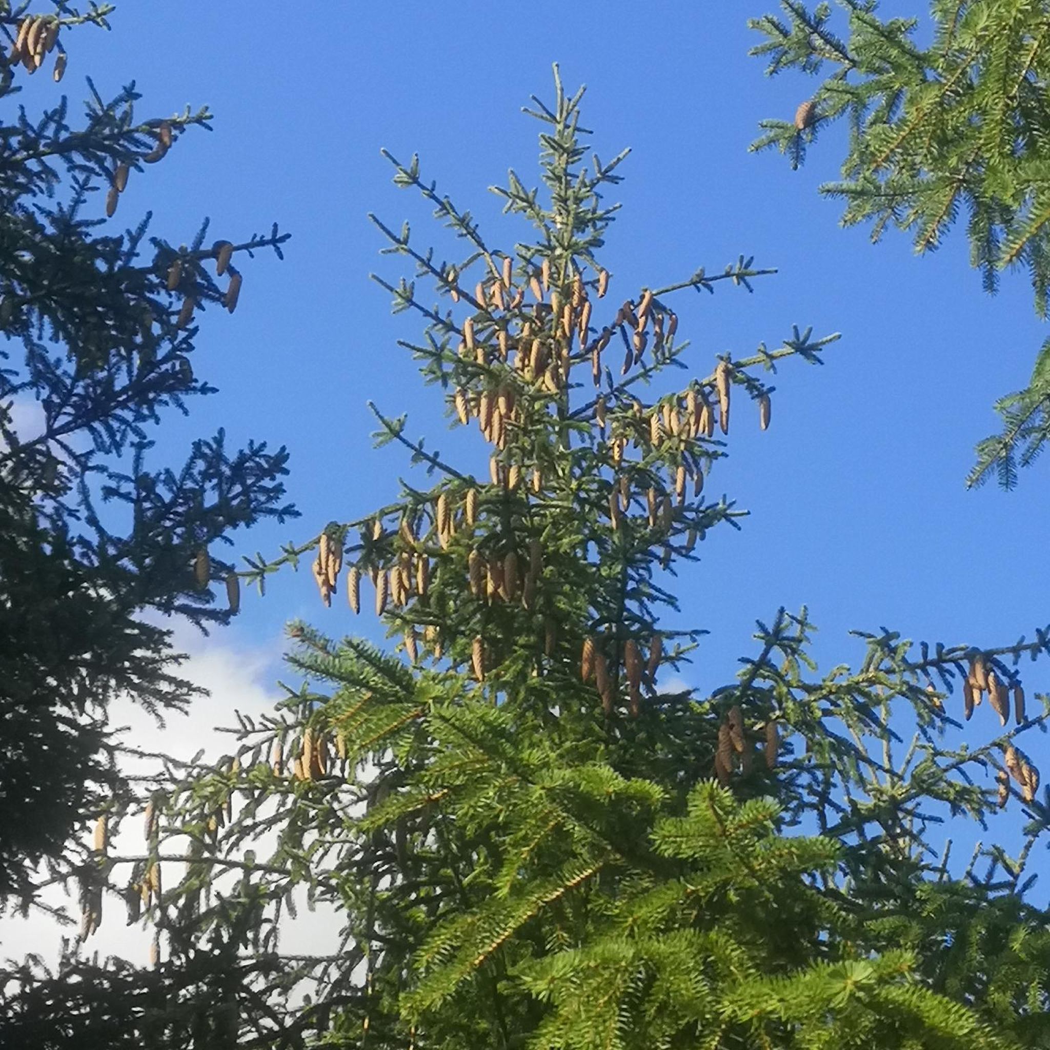
Tips from the Community

3 outdoorsy things of Newmarkets things in one place
0
0
finally the offical Stour Valley Path signs appear as well as this first overview
0
0

"The Devil's Dyke is one of the largest preserved Anglo-Saxon artworks in England. The massive bank and ditch stretch in a near straight line for 12 kilometres (7.5 miles) from Fen edge at reach, across the open chalk landscape near Newmarket, to the wooden slopes as Woodditton. The Dyke is best preserved at Gallows Hill near Burwell where it si 10.5 m (34 feet) high from the ditch bottom to the bank top."
0
0


The Devil's Dyke stretches from Reach to Woodditton through Newmarket. It is an 11km bank with a ditch on the south west side. In parts it is as high as 9m tall. It is thought to be Anglo-Saxon and a defense barrier.
0
0

Basefield Wood is the highest point on the Stour Valley Path long-distance trail, which follows the River Stour from its source near Newmarket to Cattawade on the Stour Estuary. Despite being 377 feet (115 m) above sea level, the flat landscape means that far reaching views are in short supply.
0
0
Devil's Dyke is a linear ditch that runs in a straight line for 7 miles (11 km) between the villages of Reach and Woodditton. It separates the fenland to the north from the hills to the south and is thought to have been created by the Anglo-Saxons. Keep an eye out for unusual plant species, such as purple milk-vetch and bastard toadflax. It features on the Stour Valley Path and is a hugely enjoyable section, boasting views to distant Ely Cathedral on clear days.
0
0

Local landmark on the highest point, marking the southern end of Devil's Dyke.
0
0
Frequently Asked Questions
What kind of terrain can I expect on hikes around Great Bradley?
The Great Bradley area features a diverse landscape, including rolling farmland, ancient woodlands like Lucy Wood, and sections of the historic Devil's Dyke. You'll find a network of paths offering varied terrain, from easily accessible routes through open countryside to more challenging trails with some elevation changes.
Are there many hiking options for different skill levels in Great Bradley?
Yes, Great Bradley offers a wide range of hiking options suitable for various fitness levels. With over 70 routes available, you can choose from approximately 28 easy trails for a gentle stroll, 38 moderate hikes, and 6 more difficult paths for those seeking a challenge.
What historical or natural landmarks can I see while hiking near Great Bradley?
Hikers can explore several notable landmarks. The ancient Devil's Dyke, an Anglo-Saxon earthwork, offers impressive views and unique plant species. You might also encounter the Woodditton Water Tower, a local landmark, or pass through Basefield Wood, the highest point on the Stour Valley Path. The area also features ancient woodlands and historical sites like Kirtling Towers.
Are there any circular walks available in the Great Bradley area?
Yes, many of the routes around Great Bradley are circular, allowing you to start and end in the same location. Examples include the Church of St Mary – Woodditton Water Tower loop from Woodditton, or the Cow Field – St Mary's Church loop from Great Bradley.
What do other hikers say about the trails in Great Bradley?
The hiking trails in Great Bradley are highly regarded by the komoot community, holding an average rating of 4.25 stars from over 80 reviews. Hikers often praise the mix of historical features, the peaceful open countryside, and the well-maintained accessible paths.
Are there any family-friendly hiking routes in Great Bradley?
Yes, Great Bradley has several easy routes suitable for families. These trails typically feature gentle terrain through open countryside and woodlands, providing an enjoyable experience for all ages. The Church of St Mary – Woodditton Water Tower loop from Woodditton is an easy option at 6.4 km.
Can I bring my dog on the hiking trails around Great Bradley?
Many trails in the Great Bradley area are dog-friendly, particularly those through open farmland and public footpaths. However, it's always advisable to keep dogs on a lead, especially when passing through fields with livestock or near roads, and to check local signage for any specific restrictions, particularly around nature reserves or sensitive areas like parts of the Devil's Dyke.
Are there options for longer, more challenging hikes?
For those seeking a longer and more challenging experience, Great Bradley offers several difficult routes. The Devil's Dyke – View of the Open Countryside loop from Woodditton is a difficult 22.0 km path that follows a significant section of the historic Devil's Dyke, offering expansive views and a good workout.
Where can I find refreshments or a place to rest near the trails?
While hiking, you might come across local establishments. For example, The Fox Inn, Ousden is a pub in the vicinity, and The Old Butchers Coffee Shop offers a place for a break. It's always a good idea to check opening times before you set out.
What is the best time of year to hike in Great Bradley?
The rolling farmland and ancient woodlands of Great Bradley offer pleasant hiking conditions throughout much of the year. Spring brings wildflowers, while autumn showcases vibrant foliage. Summer is ideal for longer days, and even winter can be beautiful, though paths may be muddy. Always check weather conditions before heading out.
Are there any trails that follow a river or water feature?
Yes, the Great Bradley area is close to the Stour Valley Path, a long-distance trail that follows the River Stour. While specific routes from Great Bradley might not directly hug the river for their entire length, sections of the Stour Valley Path can be incorporated into circular walks, offering opportunities to explore the river's course.
What is the typical elevation gain on hikes in this region?
Given the region's characteristic rolling farmland, most hikes around Great Bradley feature moderate elevation changes. For example, an easy route like the Church of St Mary – Woodditton Water Tower loop from Woodditton has around 62 meters of ascent, while a moderate one like the Basefield Wood – Woodditton Water Tower loop from Kirtling involves about 102 meters of climbing.
Most popular attractions around Great Bradley

Get inspired with the komoot mobile app


Explore more
Browse the best Hikes in other regions.
