The best running trails around Dinkelscherben
4.4
(180)
2,613
runners
14
runs
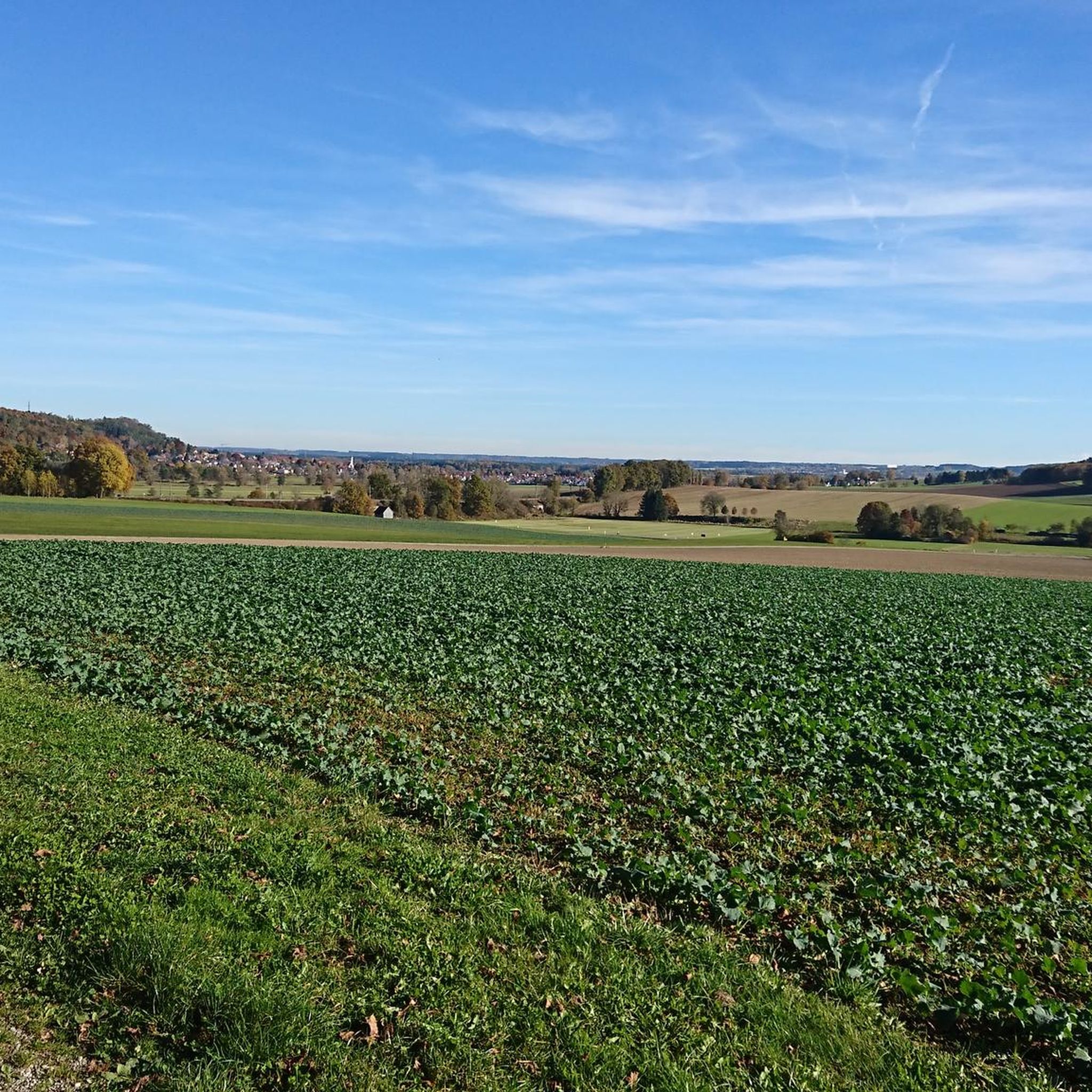
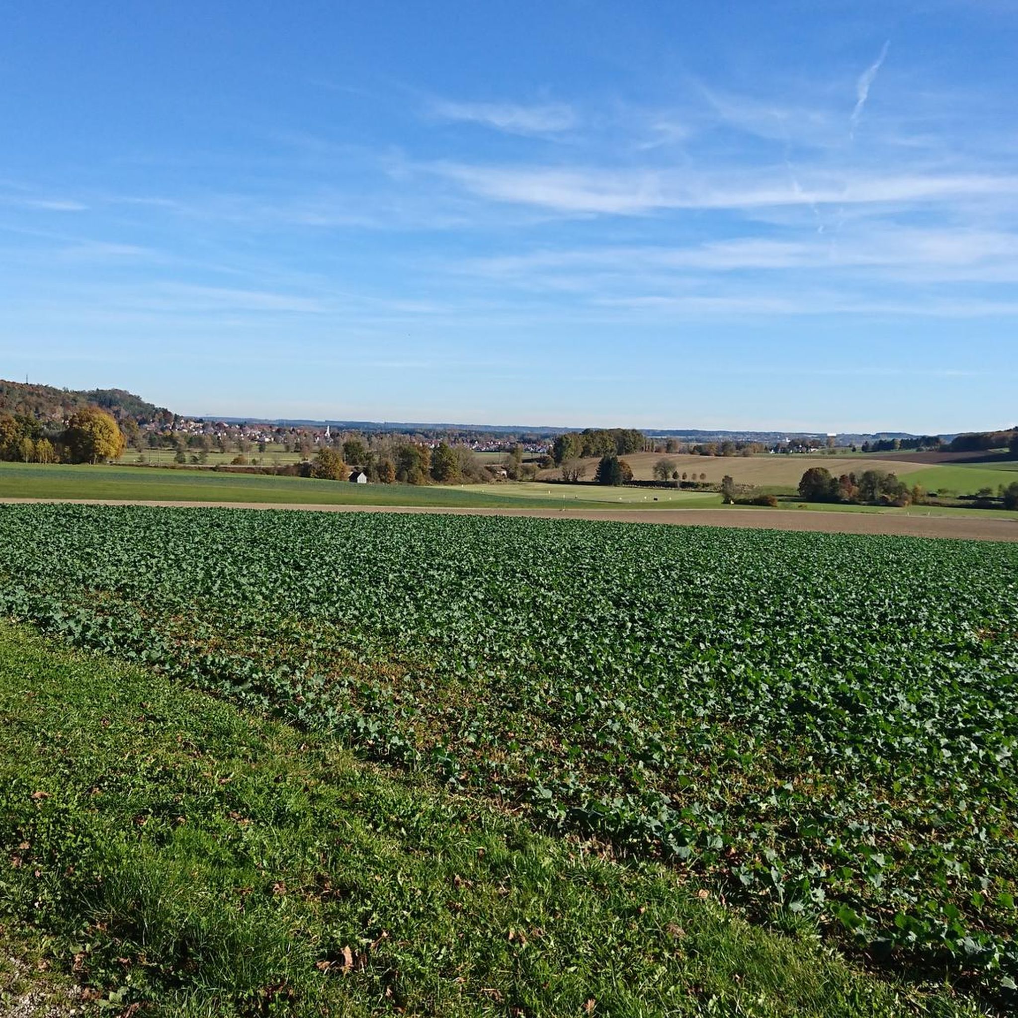
Jogging around Dinkelscherben offers routes through the gentle landscapes of the Augsburg Western Woods Nature Park. The region is characterized by woodlands, river valleys, and rolling hills, providing varied terrain for runners. Paths often follow the Zusam River, offering flat sections, while other routes include moderate ascents through forested areas. This area provides a mix of natural environments suitable for different running preferences.
Best jogging routes around Dinkelscherben
- The most popular jogging route is Running loop from Augsburg Western Woods…
Last updated: October 27, 2026
5.0
(2)
21
runners
9.01km
00:57
90m
90m
Moderate run. Good fitness required. Mostly paved surfaces.
8
runners
5.62km
00:35
40m
40m
Moderate run. Good fitness required. Mostly paved surfaces.

5.0
(1)
4
runners
9.39km
00:58
30m
30m
Moderate run. Good fitness required. Mostly paved surfaces.
6
runners
6.96km
00:43
10m
10m
Moderate run. Good fitness required. Mostly paved surfaces.
3
runners
3.52km
00:23
60m
60m
Easy run. Mostly paved surfaces.
Get access to more routes and recommendations from other explorers.
Already have an account?
Our route recommendations are based on thousands of hikes, rides, and runs completed by other people on komoot.
Start today with a free account
Your next adventure awaits.


Tips from the Community

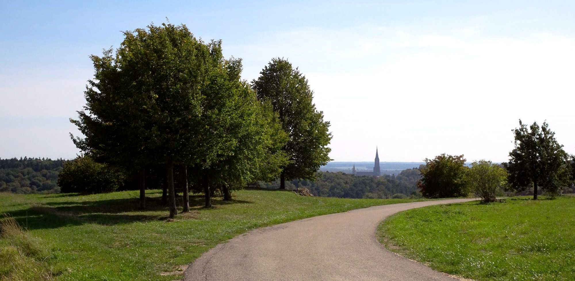
easy to navigate and walk path with information
0
0
an easy to navigate and walk path on the slope with information.
0
0

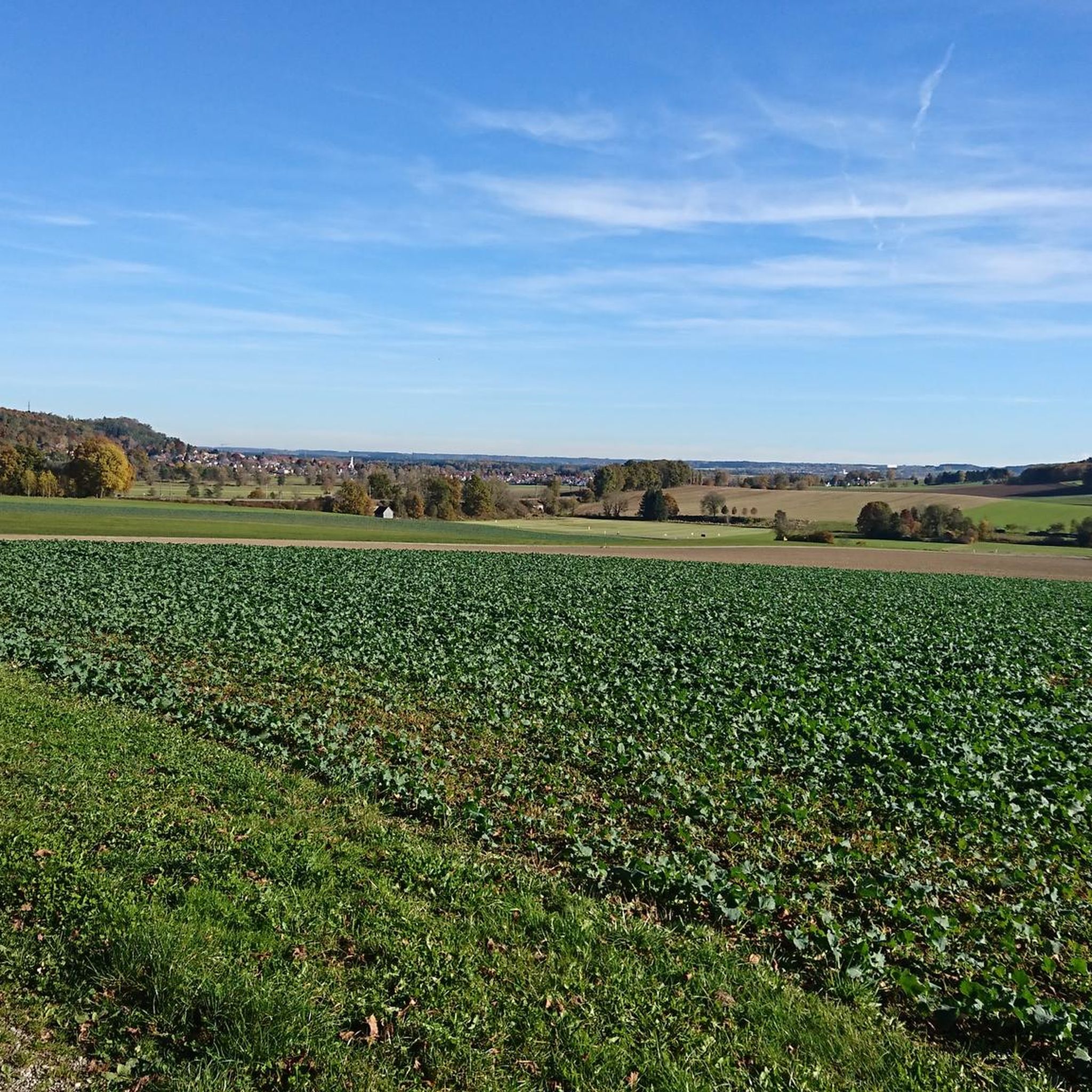
The Zusam, a still relatively natural river, rises near Markt Wald and flows into the Danube after around 80 km at Donauwörth.
2
0
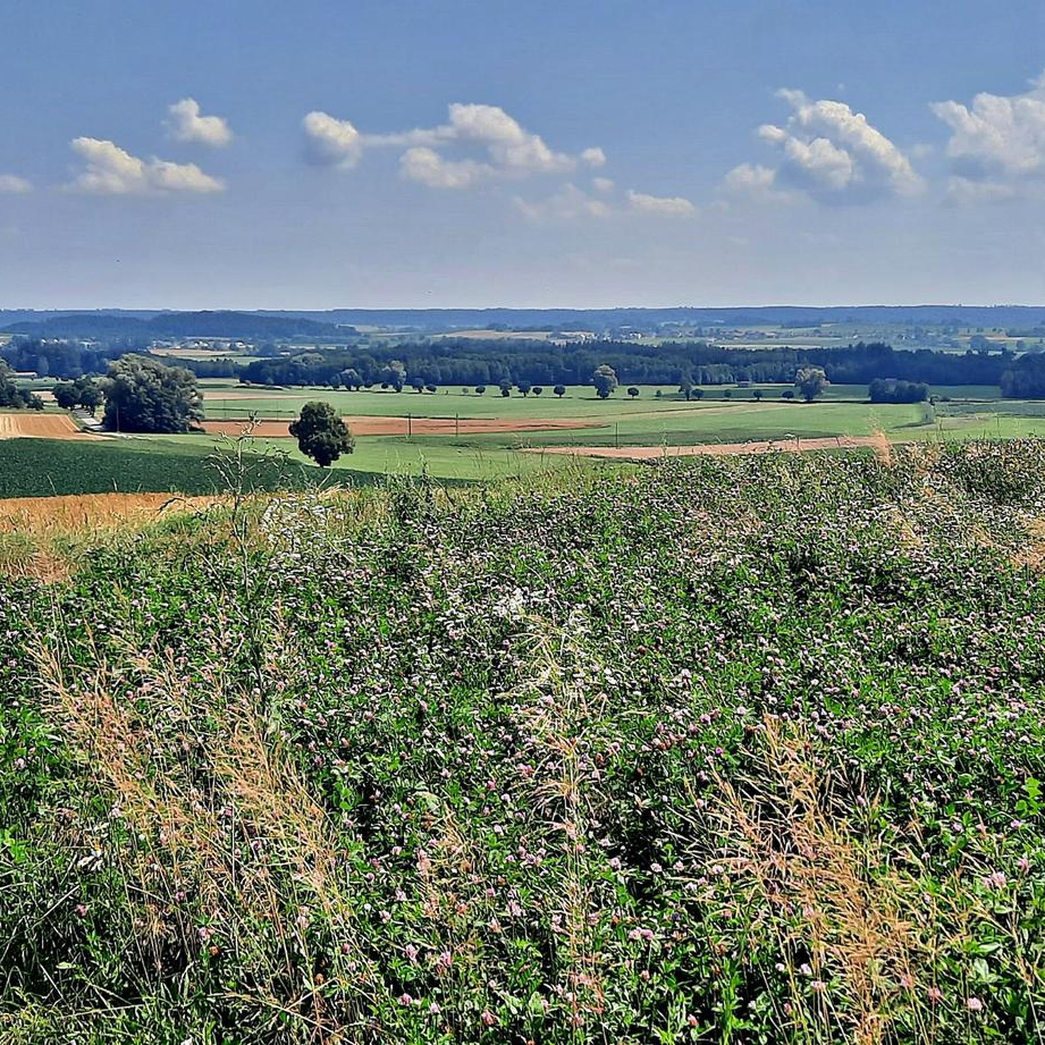
The Zusam, a still relatively natural river, rises near Markt Wald and flows into the Danube after around 80 km at Donauwörth. The Zusamtal is a special beauty with the preserved fen areas, rare animals and plants that are at home on the colorful meadows. There are a number of existing and former mill locations in the Zusamtal, which are or were characteristic of the valley.
3
0
Dinkelscherben belonged to the parish of Steinekirch until 1507. In 1530 an unknown St. Anna chapel was replaced by a church. The tower of St. Moritz Church in Augsburg served as a model for the remarkable church tower.
3
0
Frequently Asked Questions
How many running routes are available around Dinkelscherben?
There are over 10 dedicated running routes around Dinkelscherben, offering a variety of options through the Augsburg Western Woods Nature Park. These include paths along the Zusam River and trails through woodlands and gentle hills.
Are there easy running routes suitable for beginners in Dinkelscherben?
Yes, Dinkelscherben offers several easy running routes perfect for beginners. Out of the 13 available routes, 5 are classified as easy, providing gentle terrain through the scenic landscapes of the Augsburg Western Woods Nature Park.
What kind of terrain can I expect on the jogging trails in Dinkelscherben?
The jogging trails in Dinkelscherben feature varied terrain, including flat sections along the Zusam River, paths through woodlands, and moderate ascents over rolling hills. The region is part of the Augsburg Western Woods Nature Park, known for its gentle landscapes.
Are there any circular running routes in Dinkelscherben?
Many of the running routes around Dinkelscherben are circular, allowing you to start and finish at the same point. For example, the Auerspitz loop from Augsburg Western Woods Nature Park is a moderate 5.8-mile (9.4 km) option, and the Kreuzberg loop from Dinkelscherben covers 5.6 miles (9.1 km).
Can I bring my dog on the running trails in Dinkelscherben?
Most running trails in the natural areas around Dinkelscherben are dog-friendly, but it's always recommended to keep your dog on a leash, especially in nature reserves or areas with wildlife. The paths through woodlands and along the Zusam River are generally suitable for running with dogs.
Are there any family-friendly running routes in the area?
Yes, many of the easier and moderate routes are suitable for families. The gentle gradients and well-maintained paths, particularly those along the Zusam River, make for pleasant family runs. Consider routes with less elevation gain for a more relaxed experience.
What are some points of interest or attractions I might see while running?
While running, you can encounter various natural and historical points of interest. The region features natural monuments like the Anhauser Valley or the Fir Pond. You might also pass by historical sites such as the Elmischwang Castle or the Seyfriedsberg Castle Park.
What do other runners say about the trails in Dinkelscherben?
The running routes in Dinkelscherben are highly regarded by the komoot community, holding an average rating of 4.3 stars from over 140 reviews. Runners frequently praise the varied terrain, the peaceful atmosphere of the Augsburg Western Woods Nature Park, and the well-maintained paths.
Are there any running routes that pass by water features for a refreshing stop?
Several routes follow the Zusam River, offering scenic views and the sound of flowing water. For specific water features, you might find highlights like the Fir Pond or the Rothsee (Zusmarshausen) near some trails, providing a pleasant spot to pause.
What is a good moderate running route to try in Dinkelscherben?
A popular moderate option is the Panoramabad loop from Dinkelscherben. This 5.1-mile (8.3 km) path offers scenic views around Dinkelscherben and typically takes about 52 minutes to complete.
Are there any longer running routes for more experienced runners?
While most routes are moderate, some offer longer distances. The Running loop from Augsburg Western Woods Nature Park is one of the longer options at 5.6 miles (8.9 km), providing a good challenge through natural landscapes.
Most popular routes around Dinkelscherben
Most popular attractions around Dinkelscherben

Get inspired with the komoot mobile app


Explore more
Browse the best Running Trails & Routes in other regions.
