The best mountain hikes around Sigmarszell
4.7
(92)
763
hikers
34
hikes
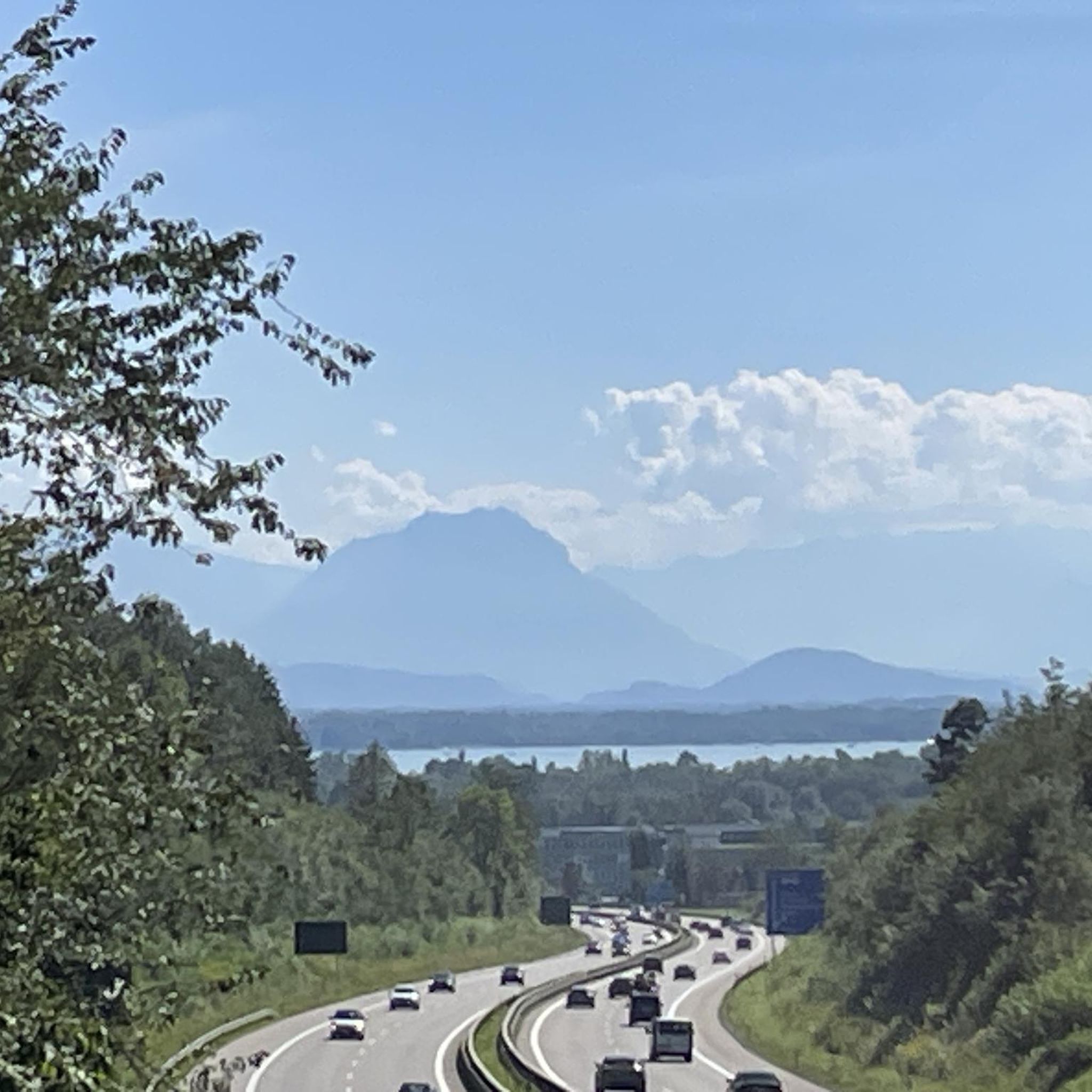
Mountaineering routes around Sigmarszell traverse a landscape characterized by rolling hills, lush meadows, and the significant Leiblach Valley. This region, nestled between the Bavarian Allgäu and the Austrian border, offers challenging hiking experiences with notable elevation changes. Panoramic views of surrounding mountains and Lake Constance are common, particularly from trails like the Alpenpanoramaweg. The area features near-natural mid-mountain rivers, gorge streams, and shaded ravine forests, providing diverse terrain for mountaineering.
Best mountaineering routes around Sigmarszell
- The most popular mountaineering route…
Last updated: October 5, 2026
5.0
(8)
51
hikers
12.3km
04:20
660m
660m
Moderate mountaineering route. Good fitness required. Mostly accessible paths. Sure-footedness required.
4.0
(4)
23
hikers
13.0km
04:28
660m
660m
Moderate mountaineering route. Good fitness required. Mostly accessible paths. Sure-footedness required.

11
hikers
16.0km
04:32
350m
350m
Moderate mountaineering route. Good fitness required. Easily-accessible paths. Suitable for all skill levels.
5.0
(1)
10
hikers
14.7km
04:23
430m
430m
Moderate mountaineering route. Good fitness required. Mostly accessible paths. Sure-footedness required.
4
hikers
14.3km
05:01
700m
690m
Hard mountaineering route. Very good fitness required. Mostly accessible paths. Sure-footedness required.
Get access to more routes and recommendations from other explorers.
Already have an account?
Our route recommendations are based on thousands of hikes, rides, and runs completed by other people on komoot.
Start today with a free account
Your next adventure awaits.
Other adventures around Sigmarszell

Tips from the Community


A very beautiful, small wooden chapel below the Pfänderspitze. It was built in 1930.
4
0
South of the Pfänder summit is the Pfänder Dohle guesthouse, which enjoys a very quaint location.
7
0

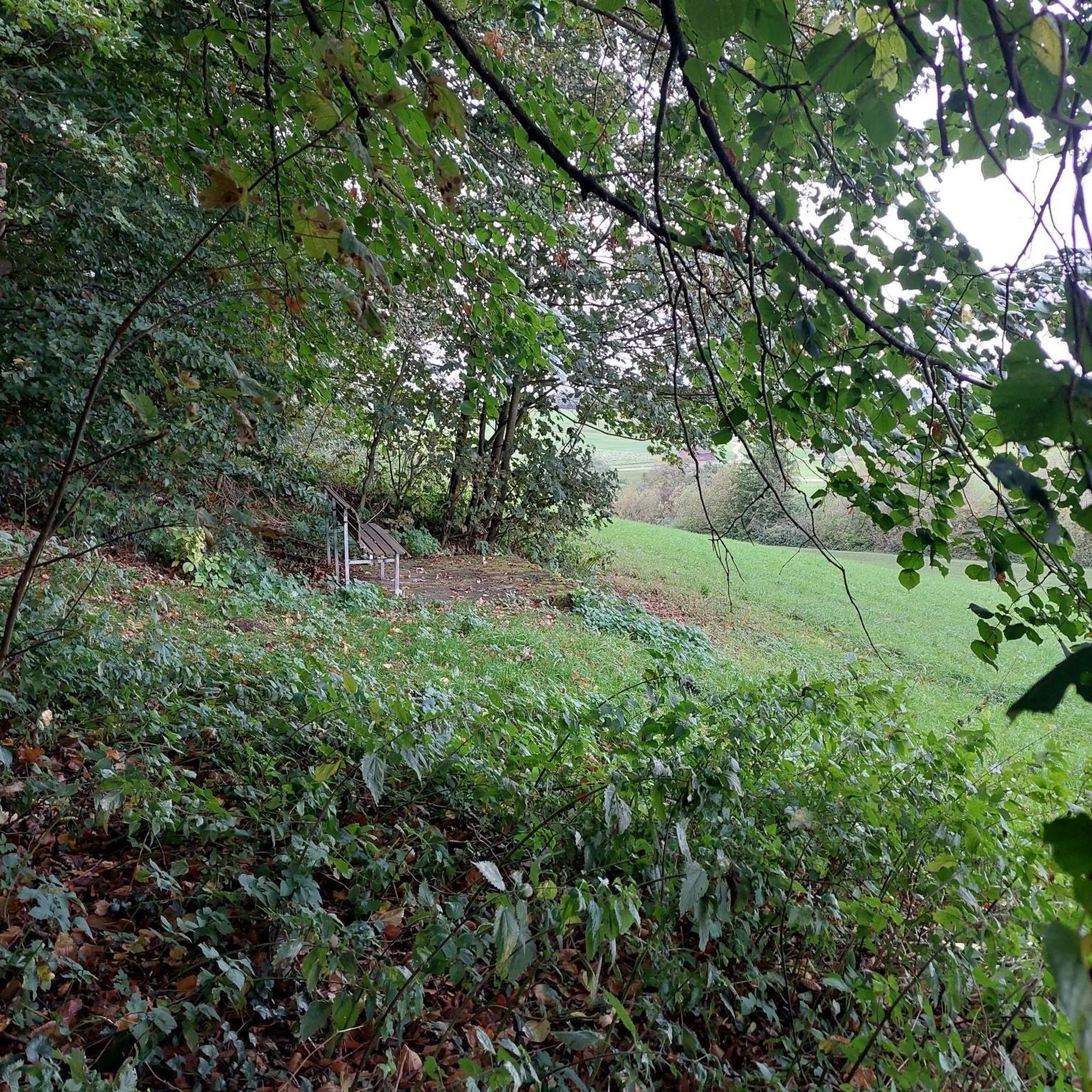
There is also a bench here where you can sit and relax.
0
0

Super nice hut to take a little break and strengthen yourself, eat and drink deliciously.
6
0

The inn has been open to visitors since 1911, making it older than the nearby cable car (which opened in 1927).
8
0
The chapel, built entirely of wood, was built in 1929-1930. The then owner of the Pfändealm, Anton Reichart, had made a building vow if his sick wife Anna and their 11th child, Johann Jakob, survived. Later, Theresia was born as the 12th child, named after this Theresienkapelle.
4
0
Frequently Asked Questions
How many mountaineering routes are available around Sigmarszell?
There are nearly 40 mountaineering routes around Sigmarszell, offering a diverse range of experiences. These include 1 easy route, 24 moderate routes, and 14 difficult routes, catering to various skill levels.
What kind of terrain can I expect on mountaineering routes in Sigmarszell?
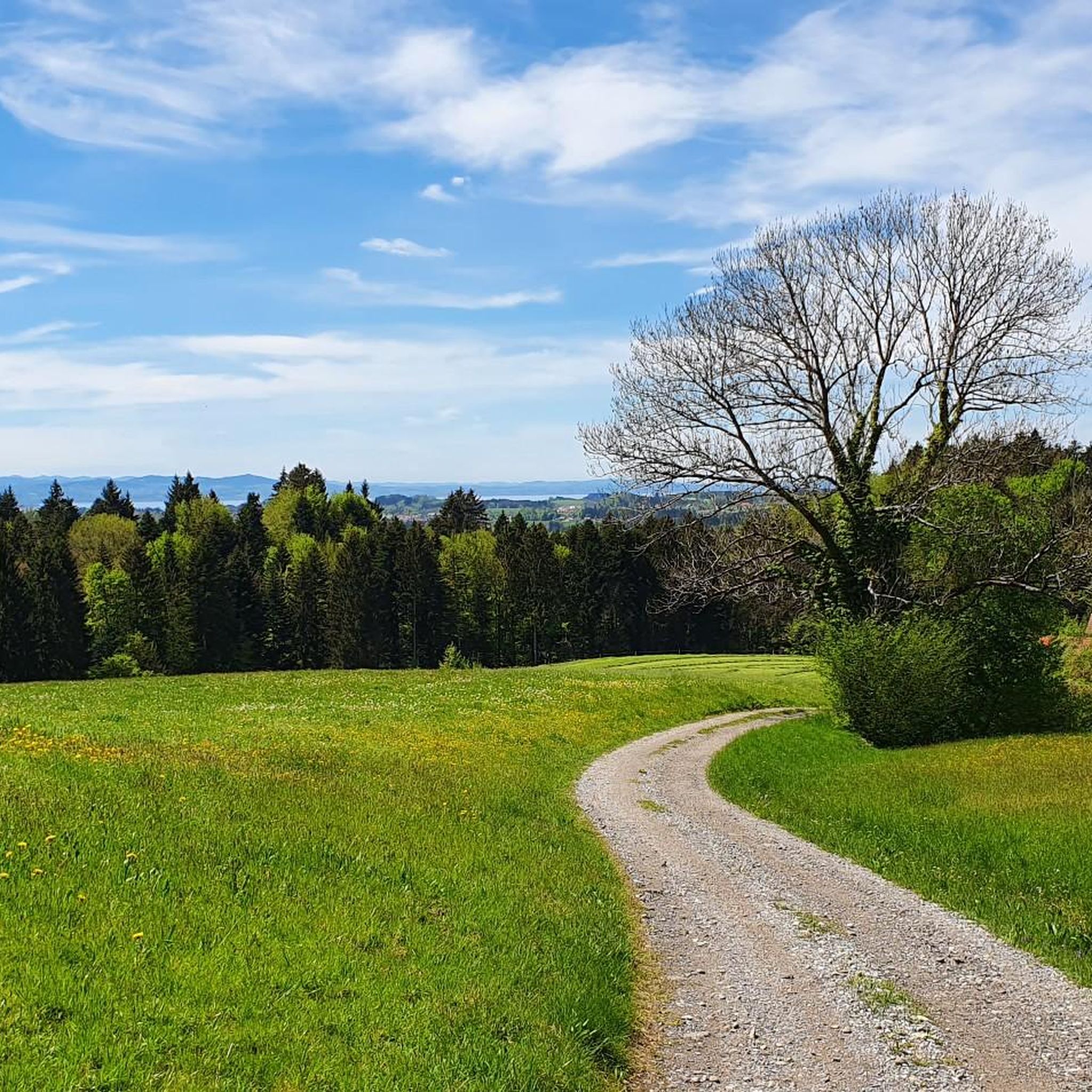
The terrain around Sigmarszell is characterized by rolling hills, lush meadows, and the significant Leiblach Valley. You'll encounter enchanting gorge streams, shaded ravine forests, and routes offering extensive panoramic views of the surrounding mountains and Lake Constance.
Are there any routes that offer panoramic views of Lake Constance or the Alps?
Yes, many routes provide breathtaking panoramic views. For instance, the Pfänder Summit – Pfänderbahn Mountain Station loop from Lochau-Hörbranz offers expansive views from the Pfänder Summit. Another option is the Pfänder Summit – Hochberg Viewpoint loop from Möggers, which also features panoramic viewpoints.
Are there any routes with waterfalls in the Sigmarszell area?
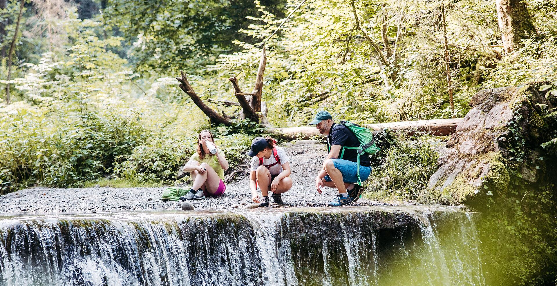
Yes, the Leiblach Valley is known for its natural features, including rushing waterfalls. You can explore routes that pass by natural highlights such as the Scheidegg Waterfalls and the Hasenreuter Waterfalls, which are popular attractions in the wider region.
What do other mountaineers say about the routes in Sigmarszell?
The mountaineering routes in Sigmarszell are highly regarded by the komoot community, with an average rating of 4.76 out of 5 stars from over 88 reviews. Users often praise the diverse terrain, the stunning panoramic views, and the well-maintained paths.
Are there any circular mountaineering routes available?
Absolutely, many routes around Sigmarszell are designed as loops. Examples include the Pfänderbahn Mountain Station – Pfänderdohle Mountain Inn loop from Lochau-Hörbranz and the Hotel and Café Schönblick loop from Lochau, both offering convenient circular journeys.
Are there any places to eat or rest along the mountaineering trails?
Yes, some routes offer access to mountain facilities or nearby establishments. For instance, the Pfänderbahn Mountain Station – Pfänderdohle Mountain Inn loop from Lochau-Hörbranz provides access to the Pfänderdohle Mountain Inn. Another route, the Hotel and Café Schönblick loop from Lochau, passes by a hotel and café.
What are some notable landmarks or points of interest I can see while mountaineering?
Beyond the natural beauty, you can encounter several points of interest. The Theresia Chapel on the Pfänder – Pfänder transmitter loop from Eichenberg takes you past the Theresia Chapel. Other nearby highlights include the View of Lindau and the Lindau Harbour, Lighthouse and the Bavarian Lion.
Are there any easy or beginner-friendly mountaineering routes in Sigmarszell?
While many routes involve significant elevation changes, there is at least one easy mountaineering route available. The network offers options for different ability levels, so beginners can find suitable paths to enjoy the region's beauty.
Is Sigmarszell a good destination for mountaineering with dogs?
The region's diverse trails through forests, meadows, and along gorge streams make it generally suitable for hiking with dogs. However, it's always advisable to check specific route details for any restrictions and ensure your dog is accustomed to longer, more challenging ascents and descents.
What is the best time of year to go mountaineering in Sigmarszell?
Spring and summer are generally ideal for mountaineering in Sigmarszell, offering pleasant weather for extensive hikes and enjoying the lush landscapes. During these seasons, you can also combine your mountaineering with water sports on Lake Constance.
Are there any permits required for mountaineering in Sigmarszell?
Based on available information, specific permits for general mountaineering or hiking in Sigmarszell are not typically required. However, it's always good practice to respect local regulations and private property signs.
Most popular routes around Sigmarszell
Most popular attractions around Sigmarszell

Get inspired with the komoot mobile app


Explore more
Browse the best Mountain Hikes & Routes in other regions.
