The best mountain hikes around Grünenbach
4.7
(65)
641
hikers
62
hikes
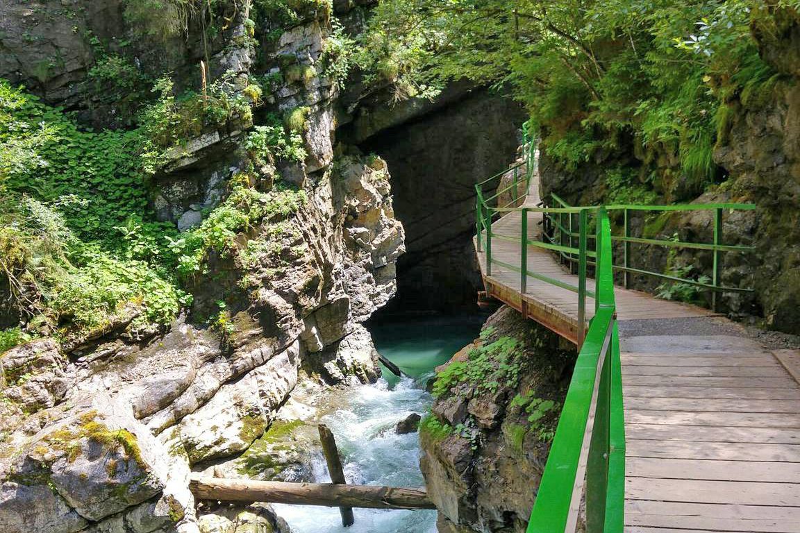
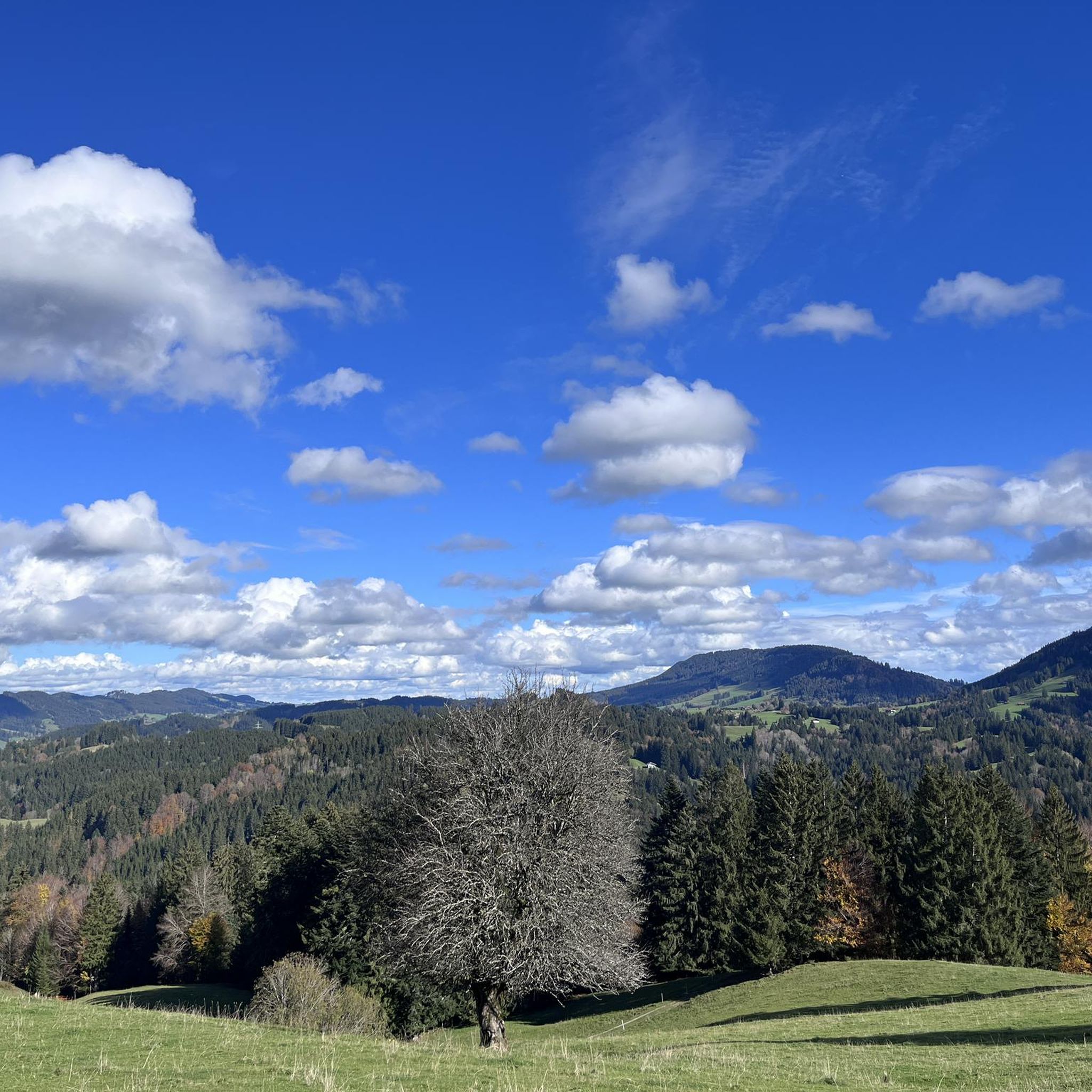
Mountaineering routes around Grünenbach traverse a landscape characterized by rolling hills, dense forests, and river valleys, offering varied terrain for outdoor exploration. The region, situated in the Allgäu, features numerous streams and gorges, such as the Eistobel, providing natural landmarks along the trails. Elevations are generally moderate, making the area accessible for a range of abilities.
Best mountaineering routes around Grünenbach
- The most popular mountaineering route is Eistobel Gorge – Large waterfall in the Eistobel loop from Maierhöfen, an…
Last updated: July 1, 2026
16
hikers
13.1km
04:06
420m
430m
Moderate mountaineering route. Good fitness required. Mostly accessible paths. Sure-footedness required.
12
hikers
13.3km
04:06
490m
490m
Moderate mountaineering route. Good fitness required. Mostly accessible paths. Sure-footedness required.

Sign up for free
3.0
(1)
14
hikers
8.55km
02:44
360m
360m
Moderate mountaineering route. Good fitness required. Mostly accessible paths. Sure-footedness required.
13
hikers
9.36km
03:07
390m
390m
Moderate mountaineering route. Good fitness required. Mostly accessible paths. Sure-footedness required.
5.0
(2)
10
hikers
Moderate mountaineering route. Good fitness required. Easily-accessible paths. Suitable for all skill levels.
Get access to more routes and recommendations from other explorers.
Sign up for free
Already have an account?
Our route recommendations are based on thousands of hikes, rides, and runs completed by other people on komoot.
Start today with a free account
Your next adventure awaits.
Login or Signup

Other adventures around Grünenbach


Tips from the Community

The hiking information board is opposite the clinic.
0
0
The Rotwild Trail starts behind the Überruh Clinic.
0
0
It served the old water supply.
0
0

Small and beautiful landscape
1
0

Not allowed with bicycles.
0
0

Welcome sunbed, nice to regain strength before the final climb.
2
0

Nice place to take a break with a fantastic view 🥰.
2
0
Nice shelter to take a break. 🥰
2
0
Frequently Asked Questions
How many mountaineering routes are available around Grünenbach?
There are over 60 mountaineering routes around Grünenbach, offering a wide range of options for different skill levels. The komoot community has explored these trails over 600 times, providing valuable insights and ratings.
Are there easy mountaineering routes suitable for beginners in Grünenbach?
Yes, Grünenbach offers several easy mountaineering routes perfect for beginners. For instance, you can explore the Eistobel Gorge – Large waterfall in the Eistobel loop from Grünenbach, which is a moderate route but offers accessible sections through the scenic gorge.
What kind of natural attractions can I expect to see on mountaineering routes near Grünenbach?
The routes around Grünenbach are rich in natural beauty. You'll encounter impressive waterfalls like the Buchenegger Waterfalls and the Eistobel Waterfalls. Many trails also lead through dense forests and along river valleys, characteristic of the Allgäu region.
Are there any circular mountaineering routes in Grünenbach?
Yes, many routes around Grünenbach are designed as circular tours, allowing you to start and end at the same point. An example is the Alpsee View – View from the summit of Salmaser Höhe loop from Missen-Wilhams, which offers stunning vistas and brings you back to your starting point.
What is the best time of year for mountaineering in Grünenbach?
The Grünenbach region is generally best for mountaineering from late spring through early autumn (May to October), when the weather is mild and trails are clear. During these months, you can fully enjoy the lush landscapes and accessible paths.
Are there any family-friendly mountaineering options around Grünenbach?
Absolutely. The moderate elevations and varied terrain make many routes suitable for families. Trails that feature natural landmarks like the Eistobel Gorge are particularly engaging for children, offering points of interest along the way.
What do other mountaineers enjoy most about the routes in Grünenbach?
The komoot community highly rates the mountaineering routes in Grünenbach, with an average score of 4.7 stars from over 60 reviews. Reviewers often praise the diverse landscapes, including rolling hills, dense forests, and the scenic river gorges, as well as the well-maintained paths.
Are there any viewpoints or summits accessible on the mountaineering routes?
Yes, several routes offer rewarding viewpoints and lead to summits. For instance, you can reach the Hündlekopf Summit or enjoy the View from the summit of Salmaser Höhe, providing panoramic vistas of the Allgäu landscape.
How long do mountaineering routes in Grünenbach typically take to complete?
The duration of mountaineering routes in Grünenbach varies depending on the trail and your pace. Many moderate routes, like the Eistobel Gorge loop from Grünenbach, can take around 3 to 4 hours, while longer options might require up to 5 hours or more.
Are there any historical sites or cultural points of interest near the mountaineering trails?
While the focus is on natural landscapes, the region does offer cultural highlights. The Old Town of Isny im Allgäu is a notable historical site nearby, offering a glimpse into the local heritage after your hike.
What is the difficulty level of mountaineering routes in Grünenbach?
The majority of mountaineering routes in Grünenbach are classified as moderate, making them accessible to a wide range of hikers. There are also a few easy options for beginners and some more challenging paths for experienced mountaineers.
Can I find cafes or refreshment stops near the mountaineering routes in Grünenbach?
While specific cafes directly on every trail are not guaranteed, the routes often pass through or near villages and towns in the Grünenbach region where you can find local eateries and cafes to refuel and relax after your mountaineering adventure.
Most popular routes around Grünenbach
Most popular attractions around Grünenbach

Get inspired with the komoot mobile app


Explore more
Browse the best Mountain Hikes & Routes in other regions.
