The best walks and hikes around Satterleigh And Warkleigh
4.7
(51)
249
hikers
29
hikes
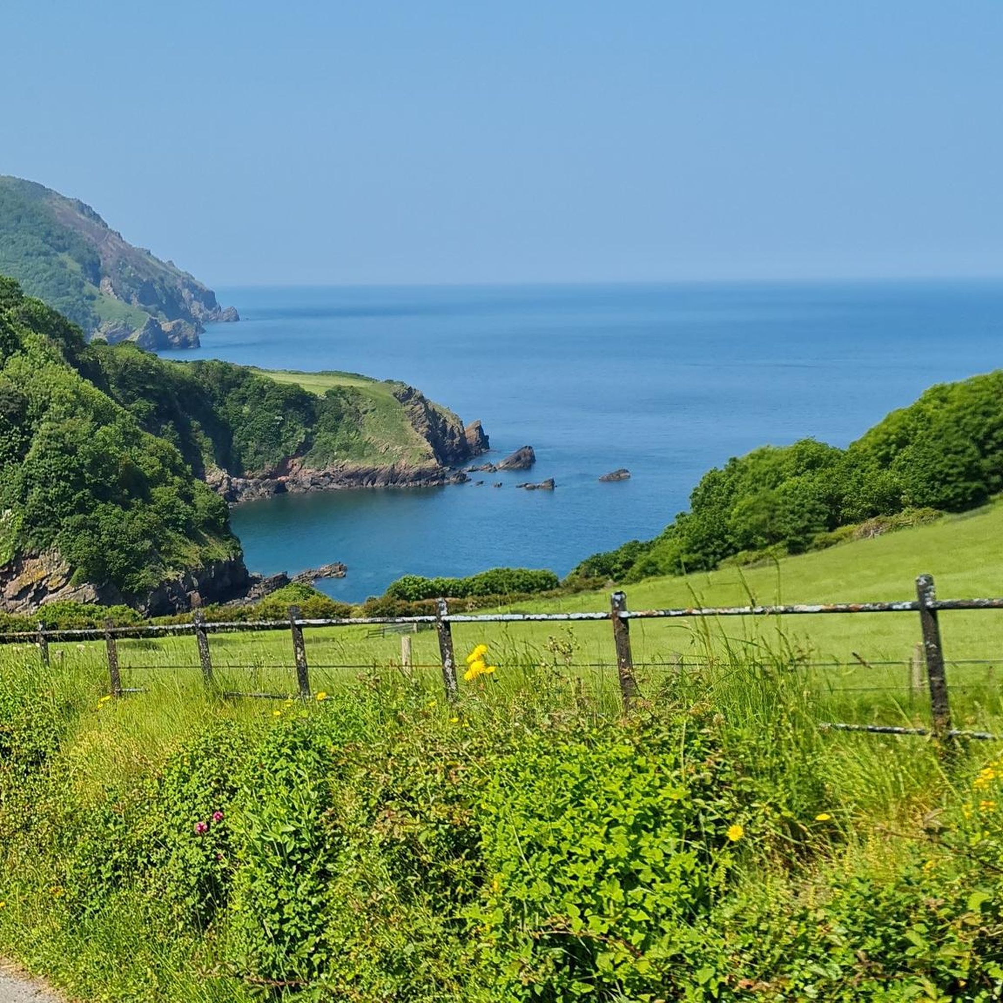
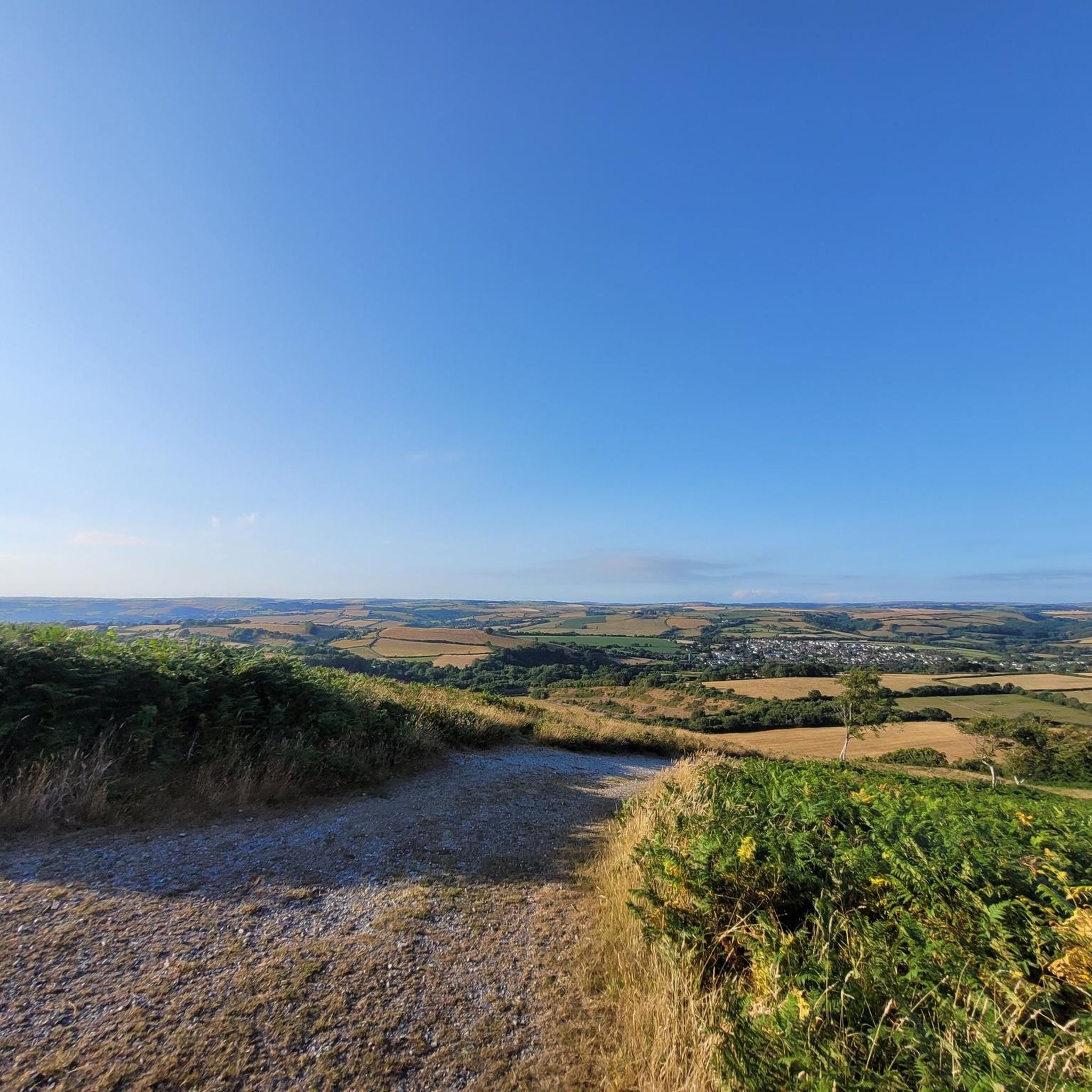
Hiking around Satterleigh And Warkleigh offers diverse landscapes within the North Devon district of England. The region features picturesque rural scenery, with the River Mole forming its eastern boundary. Nearby Codden Hill provides expansive views over the surrounding valleys and the River Taw Estuary. The area's proximity to Exmoor National Park also allows access to a broader range of natural features.
Best hiking trails around Satterleigh And Warkleigh
- The most popular hiking route is South Molton Market Square – The…
Last updated: May 14, 2026
5.0
(2)
6
hikers
13.9km
03:55
270m
270m
Moderate hike. Good fitness required. Easily-accessible paths. Suitable for all skill levels.
5.0
(1)
7
hikers
5.05km
01:27
120m
120m
Easy hike. Great for any fitness level. Easily-accessible paths. Suitable for all skill levels.

Sign up for free
5
hikers
9.98km
02:44
160m
160m
Moderate hike. Good fitness required. Easily-accessible paths. Suitable for all skill levels.
2
hikers
5.27km
01:25
60m
60m
Easy hike. Great for any fitness level. Easily-accessible paths. Suitable for all skill levels.
4.5
(4)
7
hikers
9.69km
02:39
150m
150m
Moderate hike. Good fitness required. Easily-accessible paths. Suitable for all skill levels.
Get access to more routes and recommendations from other explorers.
Sign up for free
Already have an account?
Our route recommendations are based on thousands of hikes, rides, and runs completed by other people on komoot.
Start today with a free account
Your next adventure awaits.
Login or Signup


Tips from the Community


Lovely remote village, with a nice Inn right in its center.
2
0
Great place to stay and recover. From their webpage https://www.thepoltimoreinnnorthmolton.co.uk: The Poltimore Inn is a full 7 days a week pub, open 11:30am to 2:30pm and 5:30pm to 11pm on Monday to Thursday and all day from 11:30 am to 11pm on Friday, Saturday and Sundays.
2
0

South Molton is a market town centred round a market square. It was a major part of the UK's wool trade and markets still thrive twice a week, although no longer just the domain of wool. There are plenty of cafes in South Molton for mid-ride nourishment
0
0
Frequently Asked Questions
How many hiking trails are available in Satterleigh And Warkleigh?
There are over 30 hiking routes available in Satterleigh And Warkleigh, offering a variety of experiences for different fitness levels. The komoot community has explored these trails over 250 times.
What kind of terrain can I expect on hikes around Satterleigh And Warkleigh?
The region is characterized by picturesque rural scenery, with trails often following river valleys, rolling landscapes, and offering views from local hills like Codden Hill. You'll find a mix of easy strolls and moderate treks through varied terrain.
What do other hikers say about the trails in Satterleigh And Warkleigh?
The hiking routes in Satterleigh And Warkleigh are highly rated by the komoot community, with an average score of 4.7 stars from over 40 reviews. Hikers often praise the diverse landscapes and the options available for various ability levels.
Are there any family-friendly hiking options in Satterleigh And Warkleigh?
Yes, there are several easy routes suitable for families. For example, the Around the Mole loop from Chittlehamholt is an easy 5.1 km path that follows the river, offering a pleasant experience for all ages.
Can I bring my dog on the hiking trails?
Many trails in the Satterleigh And Warkleigh area are dog-friendly, especially those through rural landscapes and along public footpaths. However, it's always recommended to keep dogs on a lead, particularly when passing through farmland with livestock, and to check local signage for any specific restrictions.
Are there any circular hiking routes available?
Yes, many of the routes in the area are circular, allowing you to start and end in the same location. Examples include the Around the Mole loop from Chittlehamholt and the Around the Mole loop from Satterleigh and Warkleigh, both offering scenic loops through the countryside.
Where can I find scenic viewpoints or natural features on the trails?
The region offers several scenic spots. Nearby Codden Hill provides expansive views over the surrounding valleys and the River Taw Estuary. The eastern boundary of the parish follows the River Mole, offering picturesque riverside walks. For dramatic coastal views, areas like Morte Point and Bull Point are accessible further afield.
What historical landmarks or attractions can I see while hiking?
You can incorporate several historical points of interest into your walks. The remains of Heywood Castle Motte and Bailey overlook the Taw Valley. You might also encounter historic churches like St Peter's Church in Satterleigh or St John the Evangelist Church in Warkleigh, offering glimpses into the region's heritage.
Are there any trails that follow the River Mole?
Yes, the River Mole forms the eastern boundary of the parish, and several trails offer opportunities to walk alongside it. The Around the Mole loop from Chittlehamholt is a notable easy route that follows the river, providing pleasant riverside scenery.
What are the best times of year to go hiking in this region?
Satterleigh And Warkleigh offers enjoyable hiking throughout much of the year. Spring and autumn provide pleasant temperatures and beautiful scenery with wildflowers or changing leaves. Summer is ideal for longer days, while winter walks can be crisp and quiet, though some paths may be muddy. Always check local weather conditions before heading out.
Is there public transport access to the hiking trailheads?
While Satterleigh And Warkleigh is a rural area, some nearby towns like South Molton have bus services. It's advisable to check local bus timetables for connections to villages near trailheads. For most routes, personal transport is often the most convenient option for reaching starting points.
Are there places to eat or stay near the hiking routes?
The nearby towns and villages such as South Molton, Chittlehamholt, and Chittlehampton offer amenities including pubs, cafes, and accommodation options. These can be convenient bases for exploring the hiking trails in Satterleigh And Warkleigh and the wider North Devon area.
Most popular attractions around Satterleigh And Warkleigh

Get inspired with the komoot mobile app


Explore more
Browse the best Hikes in other regions.
