The best walks and hikes around Ballyellough
4.6
(68)
1,211
hikers
27
hikes
Hiking around Ballyellough offers diverse landscapes, including coastal paths, rolling hills, and tranquil woodland trails. The region is situated near the Antrim Coast and Glens Area of Outstanding Natural Beauty, providing access to dramatic cliffs and expansive bays. Hikers can explore sections of the Causeway Coast Way, known for its unique basalt columns. Slievenaslat Peak offers wider views of the surrounding area for those seeking panoramic vistas.
Best hiking trails around Ballyellough
- The most popular hiking route is Lagan Towpath…
Last updated: May 15, 2026
12
hikers
18.3km
04:46
120m
120m
Hike the 11.4-mile Lagan Towpath and Barnett Demesne Loop, a moderate route combining riverside paths, parkland, and historic sites near Bel
25
hikers
4.65km
01:13
30m
30m
Easy hike. Great for any fitness level. Easily-accessible paths. Suitable for all skill levels.

Sign up for free
5.0
(4)
18
hikers
Moderate hike. Good fitness required. Easily-accessible paths. Suitable for all skill levels.
5.0
(1)
15
hikers
5.15km
01:18
10m
10m
Easy hike. Great for any fitness level. Easily-accessible paths. Suitable for all skill levels.
11
hikers
6.01km
01:34
40m
40m
Easy hike. Great for any fitness level. Easily-accessible paths. Suitable for all skill levels.
Get access to more routes and recommendations from other explorers.
Sign up for free
Already have an account?
Our route recommendations are based on thousands of hikes, rides, and runs completed by other people on komoot.
Start today with a free account
Your next adventure awaits.
Login or Signup
Tips from the Community

There is probably no better way to get to Belfast city centre by bike.
1
0

Located in South Belfast and once a private estate, Barnett Demesne is now a public park since 1951. The park itself includes plenty of walk/hike opportunities, gardens, an arboretum & a children's playground.
0
0
Running from Belfast to Lisburn, the Lagan Towpath is a pleasant, walk around the River Lagan with peaceful surroundings such as wetland, riverside meadows, & woodlands. The canal system itself dates back to the late 18th century and now offers a glimpse into the area's past.
1
0

The Sir Thomas and Lady Dixon Park is one of the most popular green spaces in Belfast. The park covers a huge area – 130 acres (52 ha) in total. The park has lots of diverse landscapes including woodland, formal rose gardens, meadows, riverside fields, a Japanese garden and a walled garden.
2
0

This meandering bicycle path glides on through from the station, you get a chance to catch a moment, get into your rhythm by the waters edge.
1
0

The River Lagan is a famous river that runs through Northern Ireland from the Slieve Croob mountain in County Down to Belfast. Jog alongside the river via a shaded woodland path and enjoy the scenes of the Lagan Valley.
2
0
The River Lagan is a famous river that runs through Northern Ireland from the Slieve Croob mountain in County Down to Belfast. Walk alongside the river via a shaded woodland path and enjoy the scenes of the Lagan Valley.
3
0
Frequently Asked Questions
How many hiking trails are available around Ballyellough?
Ballylough offers a diverse network of over 25 hiking trails, catering to various fitness levels. You'll find a mix of easy strolls and more moderate ascents, with no difficult routes reported.
What types of landscapes can I expect to see while hiking in Ballyellough?
Hiking around Ballyellough provides a rich variety of landscapes, including tranquil woodland trails, rolling hills, and scenic coastal paths. The region is close to the Antrim Coast and Glens Area of Outstanding Natural Beauty, offering dramatic cliffs and expansive bays.
Are there any easy, family-friendly walks in Ballyellough?
Yes, Ballyellough has several easy routes suitable for families. An example is the Hillsborough Castle loop from Hillsborough Castle, an easy 4.6 km path that takes about 1 hour and 12 minutes, offering views of the castle and its grounds.
Can I find circular hiking routes in the Ballyellough area?
Yes, many of the trails around Ballyellough are circular, allowing you to start and end at the same point. For instance, the Lagan Towpath and Barnett Demesne Loop is a popular moderate circular route covering 18.3 km.
What are some notable attractions or landmarks I might see on a hike?
While hiking, you can explore various points of interest. The Lagan Towpath offers scenic views, and you might encounter the Sir Thomas and Lady Dixon Park Rose Garden and Stone Monoliths. For panoramic views, consider routes near Divis and the Black Mountain.
Are there any cafes or pubs near the hiking trails in Ballyellough?
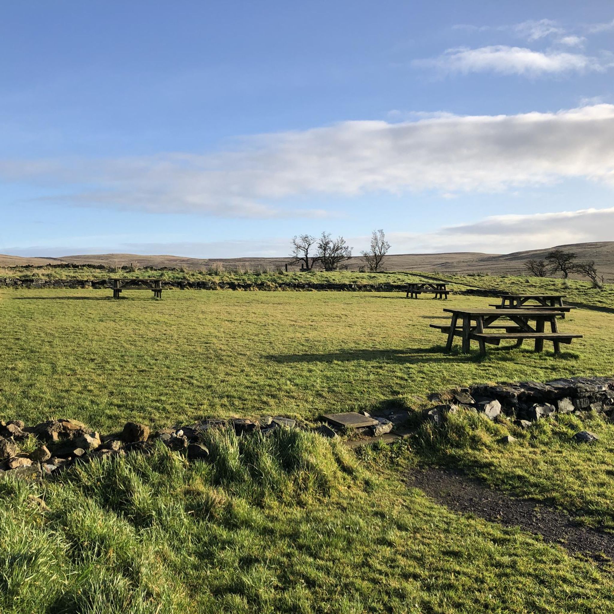
While specific cafes directly on every trail are not listed, the region offers options. For example, there is a Picnic Area at Divis and the Black Mountain, which can serve as a refreshment stop. The broader Mid Ulster area, which includes Ballyellough, has various local establishments.
What do other hikers say about the trails in Ballyellough?
The hiking community highly rates the trails in Ballyellough, with an average score of 4.6 stars from over 60 reviews. More than 1,200 hikers have used komoot to explore the area, often praising the diverse terrain and well-maintained paths.
Are there any trails that offer great views in Ballyellough?
Yes, for those seeking panoramic vistas, routes that ascend to Slievenaslat Peak offer wider views of the surrounding area. Additionally, the region's proximity to the Antrim Coast and Glens provides opportunities for dramatic coastal scenery.
What is the best time of year to hike in Ballyellough?
Ballylough offers enjoyable hiking experiences throughout the year due to its varied terrain. Spring and autumn provide pleasant temperatures and beautiful foliage, while summer is ideal for longer days. Winter hikes can be rewarding, but always check local weather conditions.
Are there any moderate hikes for those looking for a bit more challenge?
Yes, Ballyellough features 13 moderate trails. A good option is the Broad Water Cycle Path – Broad Water Riverside Path loop from Moira, a 10.1 km trail that takes about 2 hours and 33 minutes, leading through riverside scenery.
What kind of natural features can I expect to encounter on the trails?
You'll encounter a rich tapestry of natural features, from the unique basalt columns of the Causeway Coast Way to the tranquil waters of Lough Neagh. The area also boasts picturesque woodlands, rolling hills, and dramatic coastal cliffs.
Are there opportunities for other outdoor activities besides hiking in the Ballyellough area?
Beyond hiking, the broader Mid Ulster area, encompassing Ballyellough, offers a range of outdoor pursuits. These include blindfold driving, paintballing, airsoft, zorbing, archery, ziplines, climbing, llama trekking, and various water-based activities. For more information on outdoor adventures, you can visit visitmidulster.com.
Most popular attractions around Ballyellough

Get inspired with the komoot mobile app


Explore more
Browse the best Hikes in other regions.
