The best running trails around Lurganteneil
4.0
(7)
1,300
runners
57
runs
Jogging routes around Lurganteneil traverse a landscape characterized by gentle rolling hills and a mix of rural paths and suburban areas. The region offers a blend of open countryside and more developed sections, providing diverse settings for runners. Elevation changes are generally moderate, making many routes accessible for various fitness levels.
Best jogging routes around Lurganteneil
- The most popular jogging route is Running loop from Ballymacash, a 5.9 miles (9.6 km) trail that takes 1 hour to complete. This…
Last updated: May 13, 2026
33
runners
9.56km
01:00
60m
60m
Moderate run. Good fitness required. Mostly paved surfaces. Suitable for all skill levels.
29
runners
12.3km
01:17
80m
80m
Moderate run. Good fitness required. Mostly paved surfaces. Suitable for all skill levels.

Sign up for free
21
runners
18.0km
01:51
70m
70m
Hard run. Very good fitness required. Mostly paved surfaces. Suitable for all skill levels.
3.0
(2)
18
runners
4.85km
00:30
20m
20m
Easy run. Great for any fitness level. Mostly paved surfaces. Suitable for all skill levels.
16
runners
6.91km
00:44
60m
60m
Moderate run. Good fitness required. Mostly paved surfaces. Suitable for all skill levels.
Get access to more routes and recommendations from other explorers.
Sign up for free
Already have an account?
Our route recommendations are based on thousands of hikes, rides, and runs completed by other people on komoot.
Start today with a free account
Your next adventure awaits.
Login or Signup
Popular around Lurganteneil

Tips from the Community

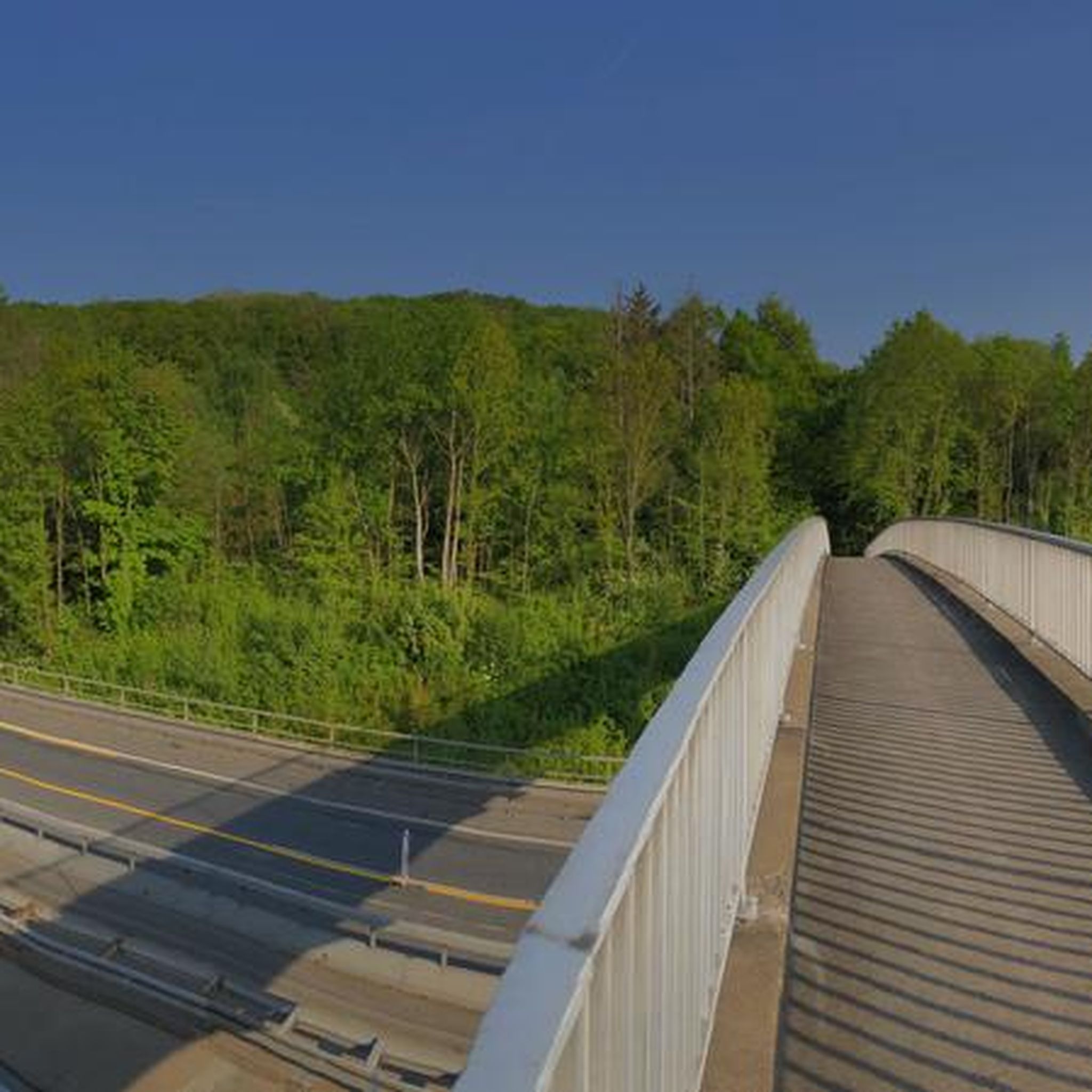
If you want to get to Belfast city center without a car and stress, this is the right place.
1
0

Frequently Asked Questions
How many running routes are available around Lurganteneil?
There are over 50 jogging routes available around Lurganteneil, offering a variety of options for different fitness levels and preferences. The komoot community has explored more than 57 routes in the area.
What kind of terrain can I expect on jogging routes in Lurganteneil?
Jogging routes around Lurganteneil feature a landscape characterized by gentle rolling hills, a mix of rural paths, and suburban areas. You'll find a blend of open countryside, local parks, and residential streets, with generally moderate elevation changes.
Are there easy jogging routes suitable for beginners in Lurganteneil?
Yes, Lurganteneil offers several easy jogging routes perfect for beginners. For example, the Running loop from Woodbrook Eco Village is a 3.0-mile (4.8 km) trail leading through local green spaces, often completed in about 30 minutes.
Can I find longer running trails for more challenging workouts in the Lurganteneil area?
Absolutely. For a longer run, consider the Wallace Park loop from Ballymacash, which is a moderate 7.6-mile (12.3 km) path through parkland and residential areas. There are 43 moderate and 9 difficult routes available for those seeking a greater challenge.
Are the jogging routes in Lurganteneil generally circular?
Many of the jogging routes in Lurganteneil are designed as loops, providing convenient circular paths. Examples include the Running loop from Ballymacash and the Duncan's Dam loop from Ballymacash, allowing you to start and finish at the same point.
What do other runners say about the trails in Lurganteneil?
The running routes in Lurganteneil are highly rated by the komoot community, with an average score of 3.8 stars from 8 reviews. Runners often praise the varied terrain, which includes rural paths, local parks, and suburban streets, offering options for different ability levels.
Are there any interesting sights or landmarks along the running routes in Lurganteneil?
While Lurganteneil itself is characterized by rural and suburban landscapes, nearby attractions offer points of interest. You might find trails that pass close to the Lagan Towpath or the Lisburn to Belfast Pathway, which are popular for their scenic views and accessibility.
Are the jogging routes around Lurganteneil suitable for families?
Many routes in Lurganteneil, particularly those through local parks and green spaces like the Running loop from Woodbrook Eco Village, are suitable for families. The moderate elevation changes and mixed surfaces make them accessible for various ages and fitness levels, though specific family-friendly amenities should be checked per route.
Can I bring my dog on the running trails in Lurganteneil?
Generally, routes that traverse local parks and rural paths in Lurganteneil are dog-friendly, provided dogs are kept under control, often on a leash. Always check local signage and regulations for specific areas, especially in nature reserves or private lands, to ensure a pleasant experience for everyone.
What is the best time of year to go running in Lurganteneil?
The best time to go running in Lurganteneil, like much of Northern Ireland, is typically during the spring and summer months (April to September) when the weather is milder and daylight hours are longer. However, the routes are accessible year-round, with autumn offering beautiful foliage and winter providing crisp, quiet runs, though conditions can be wetter.
Are there any running routes that offer scenic viewpoints in the Lurganteneil area?
While Lurganteneil's routes are more focused on local green spaces and suburban paths, some may offer pleasant views of the gentle rolling hills. For more dramatic scenic viewpoints, you might consider exploring areas like Divis and the Black Mountain, which is a nearby highlight offering expansive vistas.
Are there options for parking near the running trails in Lurganteneil?
Given the mix of rural and suburban settings, many routes originating from residential areas or local parks in Lurganteneil will likely have on-street parking or designated car parks. It's advisable to check the specific starting points of individual routes on komoot for detailed parking information.
Most popular routes around Lurganteneil
Most popular attractions around Lurganteneil

Get inspired with the komoot mobile app


Explore more
Browse the best Running Trails & Routes in other regions.
