The best mountain hikes around Simmelsdorf
4.6
(7)
26
hikers
8
hikes
Mountaineering routes around Simmelsdorf are primarily found within the hilly and forested terrain of Franconian Switzerland, a region renowned for its impressive limestone rock formations. While not alpine, the area offers challenging hiking and world-class rock climbing opportunities, which constitute the local form of mountaineering. The landscape is characterized by dense woodlands, crags, and an extensive network of trails that navigate significant elevation changes.
Best mountaineering routes around Simmelsdorf
- The most popular mountaineering route is Eibgrat – Tanzlinde Spies loop…
Last updated: September 29, 2026
5.0
(1)
5
hikers
7.80km
02:21
190m
190m
Hard mountaineering route. Good fitness required. Sure-footedness, sturdy shoes and alpine experience required.
4.5
(4)
13
hikers
3.91km
01:15
110m
110m
Hard mountaineering route. Great for any fitness level. Sure-footedness, sturdy shoes and alpine experience required.

1
hikers
6.08km
01:51
140m
140m
Hard mountaineering route. Great for any fitness level. Sure-footedness, sturdy shoes and alpine experience required.
5.0
(1)
4
hikers
6.80km
01:59
190m
190m
Moderate mountaineering route. Great for any fitness level. Mostly accessible paths. Sure-footedness required.
Get access to more routes and recommendations from other explorers.
Already have an account?
Our route recommendations are based on thousands of hikes, rides, and runs completed by other people on komoot.
Start today with a free account
Your next adventure awaits.
Popular around Simmelsdorf
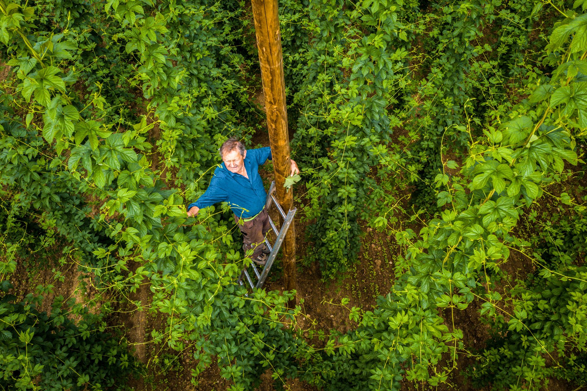
Hop Weeks in the Nürnberger Land – Hiking Trails Full of Delight
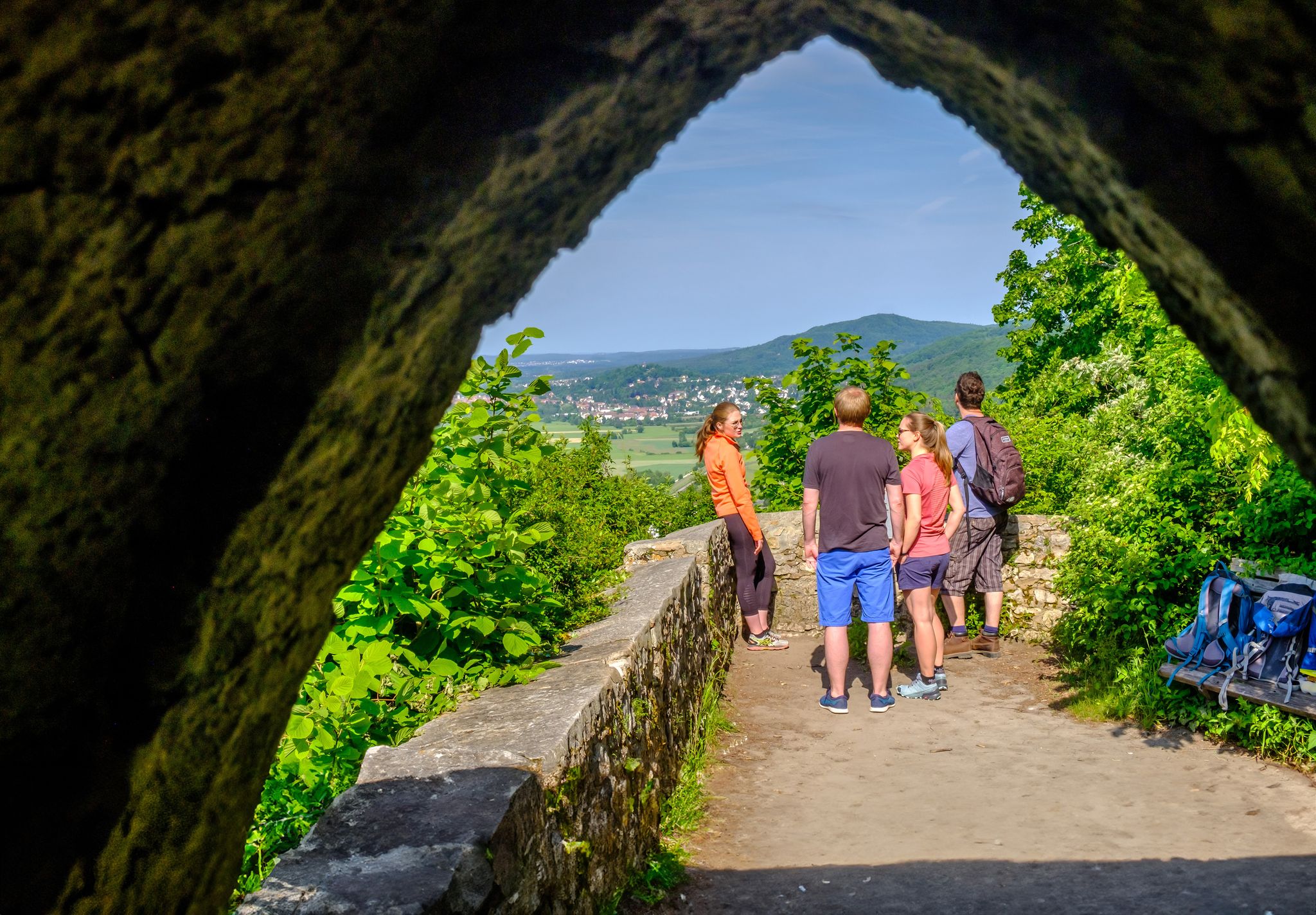
Discover a hiker’s paradise – hiking loops in the Nuremberg region
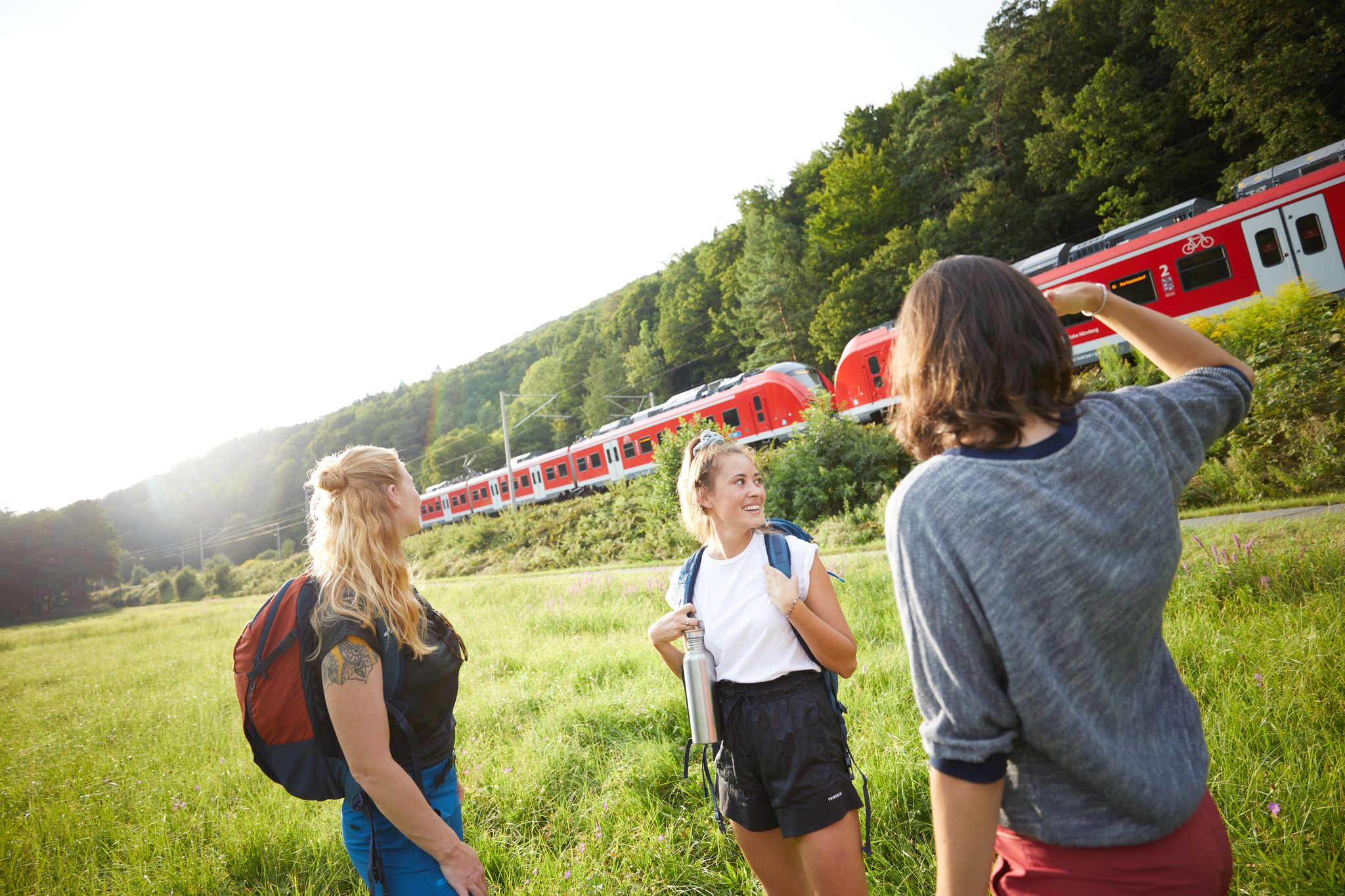
All aboard for summer hiking with Germany’s VGN

Winter won't stop us – VGN tips for exploring Germany’s Franconia in the cold
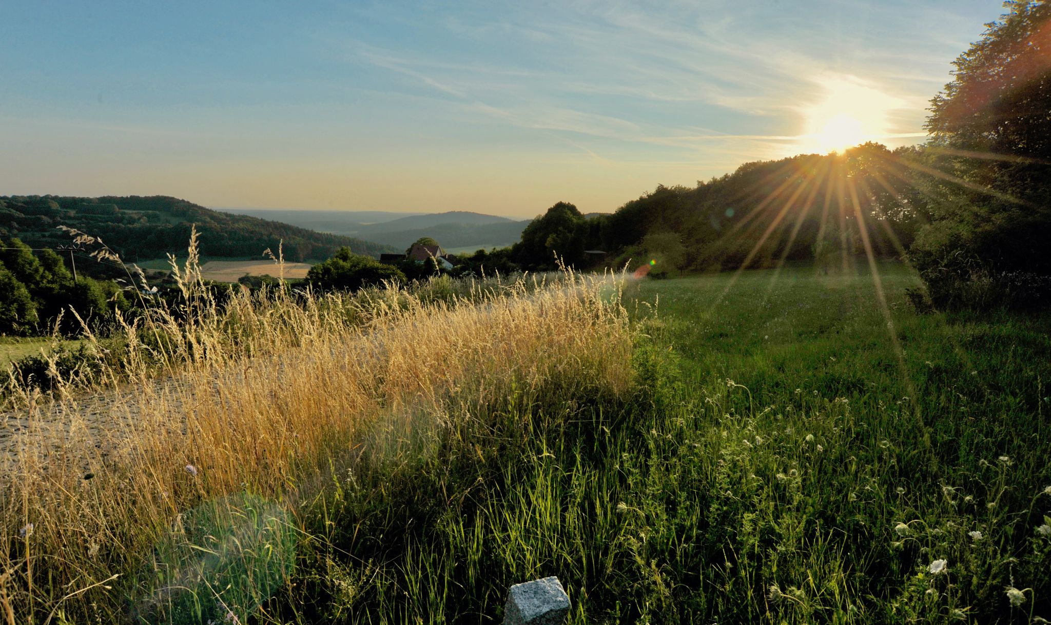
Hiking quiet paths through the Nürnberger Land in Bavaria
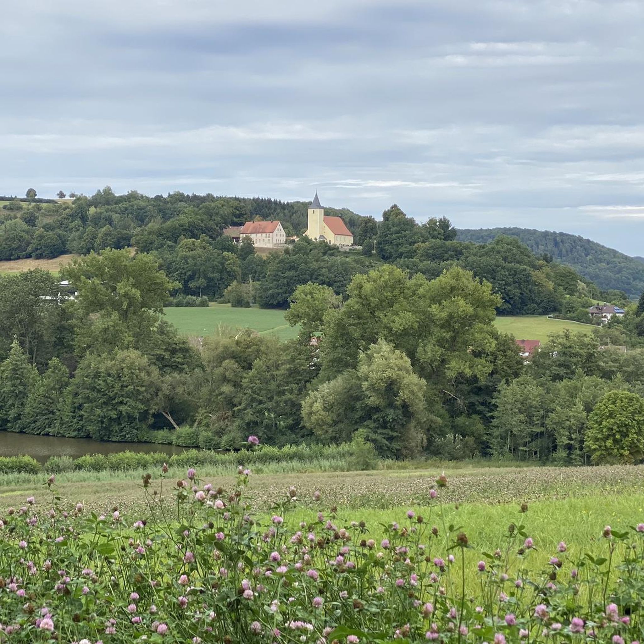
Hiking around Simmelsdorf
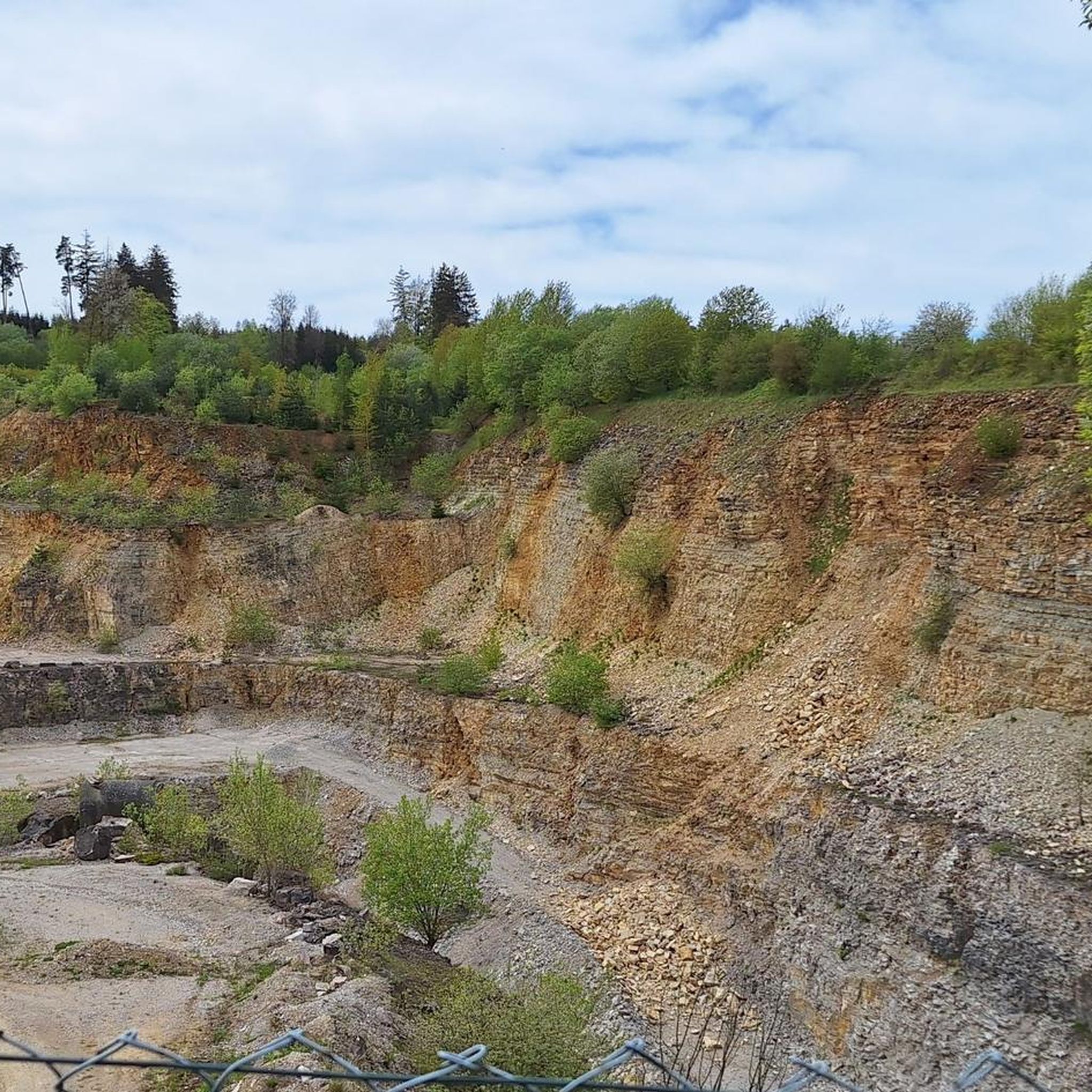
Cycling around Simmelsdorf
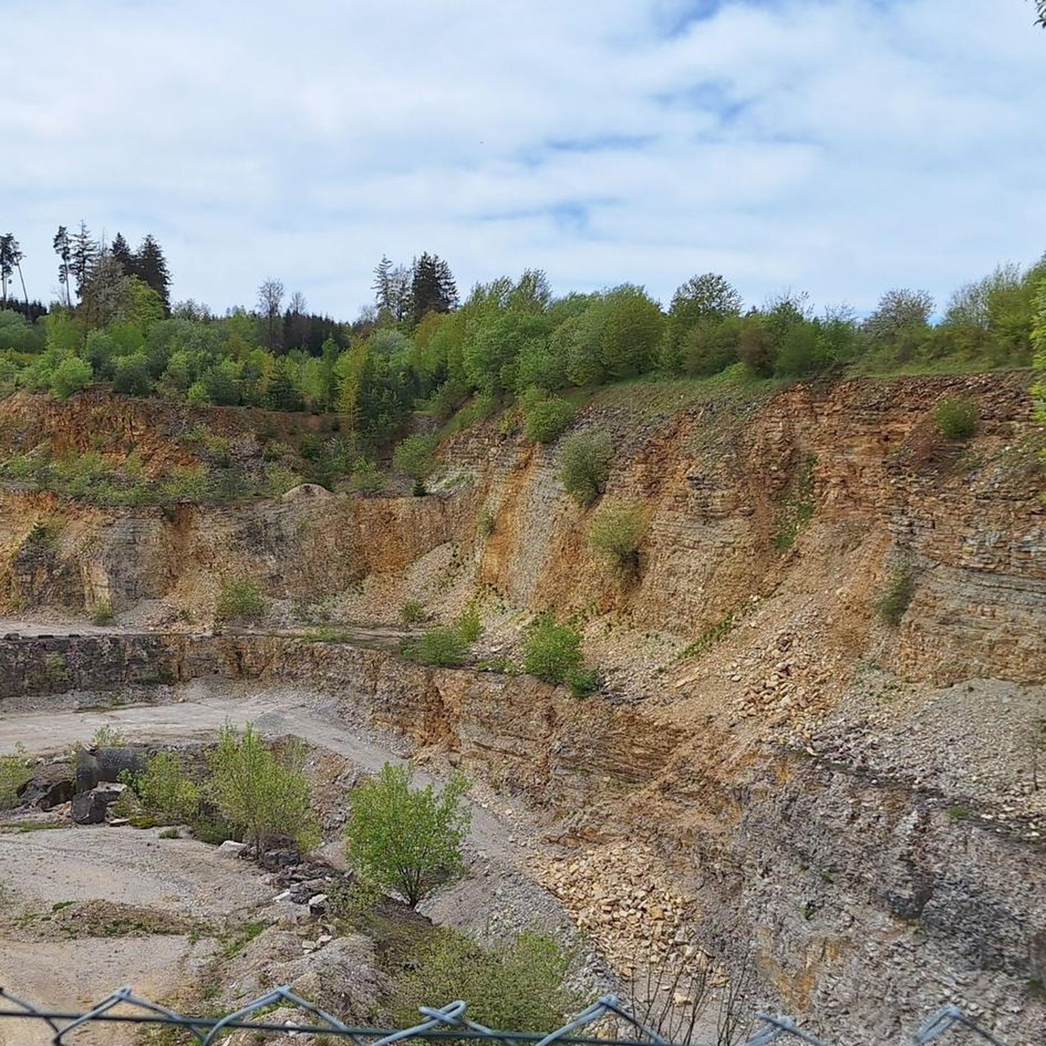
Road Cycling Routes around Simmelsdorf
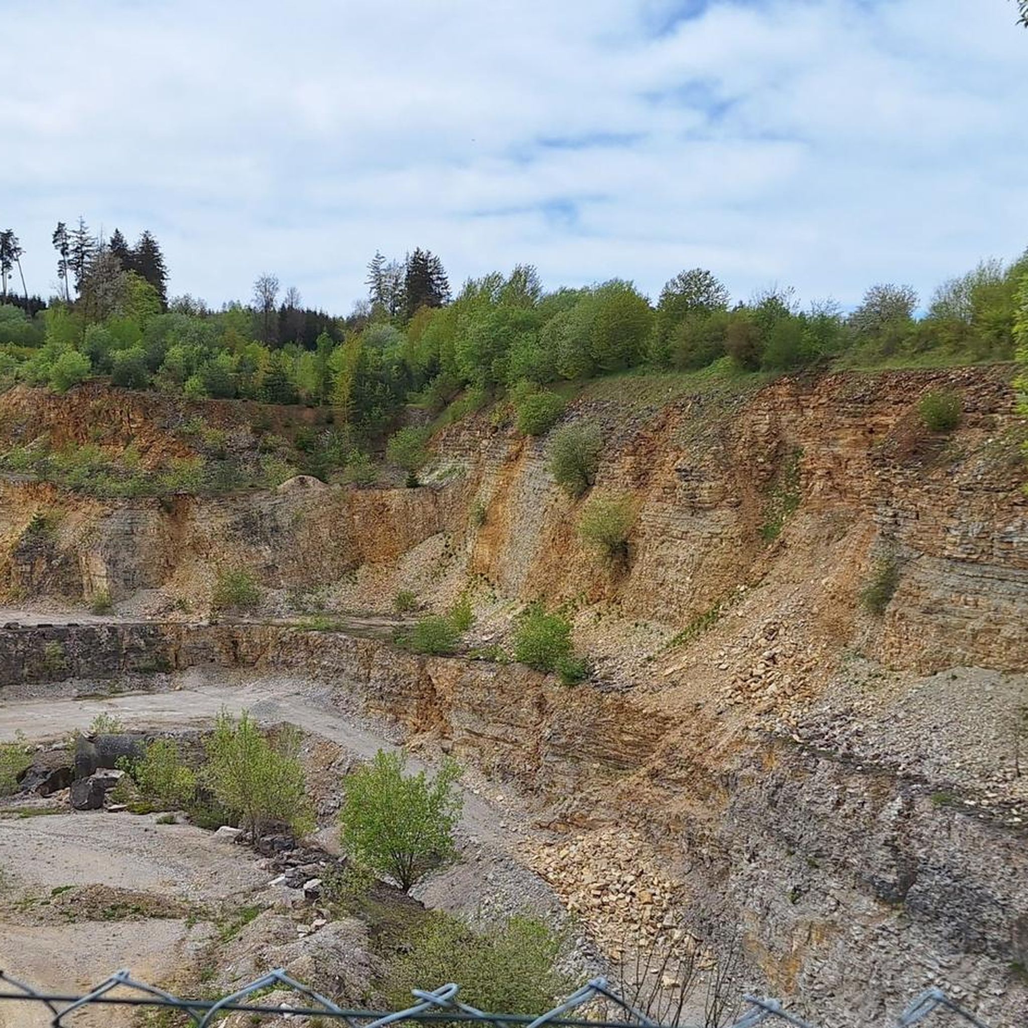
MTB Trails around Simmelsdorf

Gravel biking around Simmelsdorf
Other adventures around Simmelsdorf


Tips from the Community


Just the right place for a break.
0
0

It goes up and down over hill and especially dale, a nice walk or even climbing🫠
19
1
A path for the senses, an adventure that has to be experienced to be believed.
15
2

The dancing linden tree is in the forest on the south-eastern outskirts of Spies. The tree veteran is about 500 years old, has a circumference of a good 6 meters and the "Linden-Kerwa" takes place here every year on the first weekend in July.
5
0

Frequently Asked Questions
What kind of mountaineering experiences can I expect around Simmelsdorf?
Mountaineering around Simmelsdorf primarily involves challenging hiking and world-class rock climbing within the Franconian Switzerland region. The landscape is characterized by hilly, forested terrain and impressive limestone rock formations, offering demanding ascents and varied trails rather than high alpine peaks.
Are there any routes suitable for beginners or those looking for a less strenuous experience?
Yes, among the 9 mountaineering routes available, there are options for various ability levels. While the region is known for its challenging terrain, you can find moderate paths. For example, the Eibgrat loop from Eichenstruth is a moderate 7.9 km trail that takes about 2 hours 16 minutes to complete, leading through dense woodlands and past limestone crags.
Which routes offer the best viewpoints or natural attractions?
Many routes in the region traverse scenic areas. The Eibgrat – Eibgrat Ridge loop from Spies, for instance, offers views of surrounding forests and rock formations. For specific natural attractions, consider exploring the Lillach Tufa Terraces and Lillach Spring, known for their unique sinter terraces, or Glatzenstein, which features a rock massif with a cave and extensive views.
Are there any circular mountaineering routes in the area?
Yes, many of the mountaineering routes around Simmelsdorf are circular. Popular options include the Eibgrat – Tanzlinde Spies loop from Burgruine Riegelstein, a difficult 6.8 km trail, or the moderate Eibgrat – Tanzlinde Spies loop from Spies, which covers a similar distance.
What is the best season for mountaineering around Simmelsdorf?
The hilly and forested terrain of Franconian Switzerland is generally enjoyable throughout the warmer months, from spring to autumn, when the trails are clear and the weather is pleasant for hiking and climbing. Spring brings lush greenery, while autumn offers vibrant foliage. Winter mountaineering is possible but may require different gear due to potential snow and ice on trails.
Are there any longer, more challenging routes for experienced mountaineers?
For those seeking a longer and more challenging experience, the Community Weißenohe – Gräfenberg Old Town loop from Weißenohe is a moderate 16.2 km route with significant elevation gain, typically taking over 4.5 hours to complete. This route offers an extensive exploration of the region's terrain.
What do other mountaineers say about the routes in Simmelsdorf?
The routes in Simmelsdorf are highly rated by the komoot community, with an average score of 4.6 stars from several reviews. Mountaineers often praise the varied terrain, the challenging ascents through forested hills, and the impressive rock formations that define the region's unique character.
Are there any family-friendly mountaineering options?
While many routes involve challenging ascents, some sections or shorter trails within the broader Franconian Switzerland region can be suitable for families. For a more relaxed experience with natural beauty, consider paths around the Lillach Tufa Terraces, which offer picturesque hiking opportunities. Always check the specific route's difficulty and length to ensure it matches your family's capabilities.
Can I bring my dog on the mountaineering routes?
Generally, dogs are welcome on hiking trails in the Franconian Switzerland region, provided they are kept on a leash and owners adhere to local regulations regarding waste disposal. It's always advisable to check specific trail rules or protected area guidelines before heading out, especially for routes that might involve scrambling or narrow paths.
Are there any interesting landmarks or points of interest near the mountaineering trails?
Yes, the area offers several points of interest. You might encounter the Michelsberg War Memorial or the Poisonous viper refuge. The region also features the Ball game natural monument and various huts like the Stierberg Community Sharing Hut and Playground or the Forest House on the Nature Discovery Trail.
What are the parking options for accessing mountaineering routes around Simmelsdorf?
Parking availability varies by trailhead. Many popular starting points for routes in Franconian Switzerland, including those near Simmelsdorf, typically have designated parking areas, often small lots or roadside parking. It's recommended to check specific route descriptions or local signage for the most accurate parking information before your trip.
Is it possible to reach the mountaineering routes using public transport?
While some villages in Franconian Switzerland are served by public transport, direct access to all trailheads by bus or train can be limited. Planning your route in advance and checking local bus schedules is advisable if you intend to rely on public transport. Some longer routes, like the Community Weißenohe – Gräfenberg Old Town loop from Weißenohe, might be more accessible from larger towns with better public transport links.
Most popular routes around Simmelsdorf
Most popular attractions around Simmelsdorf

Get inspired with the komoot mobile app


Explore more
Browse the best Mountain Hikes & Routes in other regions.
