The best road cycling routes around Craigaboney
5.0
(1)
250
riders
40
rides
Road cycling routes around Craigaboney, located within the wider Craigavon region of Northern Ireland, traverse diverse landscapes. The area is characterized by the expansive Lough Neagh, the largest lake in Ireland, offering extensive shoreline views. Tranquil waterways such as the River Bann and Newry Canal also contribute to the scenic environment, providing additional routes. The terrain varies from gentle, well-paved loops to more challenging rides with significant elevation changes, catering to different fitness levels.
Best road cycling routes around Craigaboney
…Last updated: June 29, 2026
35
riders
94.0km
04:32
1,260m
1,260m
Hard road ride. Very good fitness required. Mostly well-paved surfaces and easy to ride.
31
riders
22.4km
01:04
160m
160m
Easy road ride. Great for any fitness level. Mostly well-paved surfaces and easy to ride.

Sign up for free
14
riders
58.5km
02:43
560m
560m
Moderate road ride. Good fitness required. Some segments of this route may be unpaved and difficult to ride.
5.0
(1)
7
riders
59.4km
02:33
410m
410m
Moderate road ride. Good fitness required. Mostly well-paved surfaces and easy to ride.
6
riders
34.2km
01:30
270m
270m
Easy road ride. Great for any fitness level. Mostly well-paved surfaces and easy to ride.
Get access to more routes and recommendations from other explorers.
Sign up for free
Already have an account?
Our route recommendations are based on thousands of hikes, rides, and runs completed by other people on komoot.
Start today with a free account
Your next adventure awaits.
Login or Signup
Popular around Craigaboney

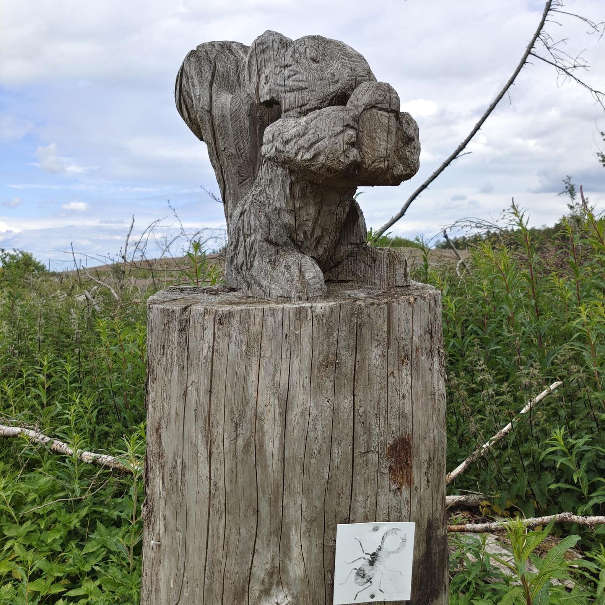
Tips from the Community

Not as impressive in nature anymore, some trees or branches have been removed.
0
0

Shop with a good selection of whiskeys
3
0


Great café, friendly service, great food closed on Sundays/Mondays, otherwise until 5pm (as of Oct 2024)
0
0

This iconic moody avenue of beech trees was planted by the Stuart family in the eighteenth century. Two centuries later, the trees remain a treat and are one of the most photographed natural phenomena in Northern Ireland. Most recently used as a film location in Game of Thrones.
0
0
Frequently Asked Questions
How many road cycling routes are available around Craigaboney?
There are over 50 road cycling routes around Craigaboney, offering a wide range of options for different skill levels and preferences.
What types of terrain can I expect on road cycling routes in Craigaboney?
The terrain around Craigaboney is diverse, ranging from gentle, well-paved loops to more challenging rides with significant elevation changes. Many routes offer scenic views, particularly around Lough Neagh and along the River Bann and Newry Canal.
Are there any easy road cycling routes suitable for beginners or families?
Yes, Craigaboney offers 21 easy road cycling routes. A great option is the Old Bushmills Distillery – Portballintrae Bay loop from Bushmills, which is 13.9 miles (22.4 km) and features gentle terrain and views of Portballintrae Bay. The Derrytrasna Loop, a 23.7-mile route around Lough Neagh, is also suitable for all fitness levels with mostly well-paved surfaces.
What are some challenging road cycling routes for experienced riders?
For experienced cyclists, there are 4 difficult routes available. The View of Torr Head – The Old Bushmills Distillery loop from Portballintrae is a demanding 58.7-mile (94.5 km) trail with significant elevation gain. Another challenging option mentioned in the region is the Hilltown, Newry and Markethill loop from Lough Neagh.
What notable attractions or landmarks can I see along the road cycling routes?
Many routes offer access to significant attractions. You can explore the historic Dunseverick Castle or the intriguing Dunluce Castle Ruins. The region also features natural wonders like the iconic Giant's Causeway and the unique Fionn Mac Cumhaill's Shoe. Along the Newry Canal, you can find Moneypenny's Lock and Canal Museum, and the Moyallan Pillbox along the River Bann offers historical interest.
Are there any loop routes for road cycling in Craigaboney?
Yes, many of the road cycling routes around Craigaboney are designed as loops. Examples include the The Old Bushmills Distillery – Dunluce Castle loop from Portballintrae, a 38.0-mile (61.2 km) route, and the Derrytrasna Loop around Lough Neagh.
What are the typical durations for road cycling routes in the area?
Route durations vary significantly based on distance and difficulty. Easy routes like the Old Bushmills Distillery – Portballintrae Bay loop from Bushmills can be completed in just over an hour, while more difficult routes such as the View of Torr Head – The Old Bushmills Distillery loop from Portballintrae can take over 4 hours.
What do other road cyclists say about the routes in Craigaboney?
The road cycling routes in Craigaboney are highly rated by the komoot community, with an average score of 5.0 stars. Cyclists often praise the varied terrain and scenic views, particularly around Lough Neagh and the coastal areas.
Are there good options for parking near the road cycling routes?
While specific parking details for every route are not provided, many popular cycling areas, especially those near attractions like Oxford Island Nature Reserve or starting points in towns like Portballintrae and Bushmills, typically offer designated parking facilities for visitors.
What is the best time of year for road cycling in Craigaboney?
The region offers enjoyable cycling conditions throughout much of the year. Spring and summer generally provide the most pleasant weather with longer daylight hours. However, the well-paved surfaces of many routes mean that cycling can be a rewarding experience even in milder autumn and winter conditions, though checking local weather forecasts is always recommended.
Are there any routes that offer views of Lough Neagh?
Yes, Lough Neagh is a central feature of the region, and many routes offer extensive shoreline views. The Derrytrasna Loop is specifically highlighted for its picturesque views of Lough Neagh, and the Oxford Island Nature Reserve, situated by the lough, also provides opportunities to enjoy the natural environment and wave sculptures overlooking the water.
Most popular routes around Craigaboney
Most popular attractions around Craigaboney

Get inspired with the komoot mobile app


Explore more
Browse the best Road cycling routes in other regions.
