The best road cycling routes around Linthal
4.6
(68)
2,635
riders
13
rides
Road cycling around Linthal features routes through alpine valleys, over mountain passes, and across high plateaus. The region is characterized by significant elevation changes, offering challenging climbs and scenic descents. Road cyclists can expect routes that traverse diverse landscapes, including views of waterfalls and expansive mountain vistas.
Best road cycling routes around Linthal
- The most popular road cycling route is Urnerboden Plateau – View of Stäubenfall loop from Leuggelbach, a 48.6 miles (78.2 km) trail that takes 4 hours…
Last updated: May 11, 2026
4.9
(25)
1,016
riders
78.2km
04:50
2,130m
2,130m
Hard road ride. Very good fitness required. Mostly well-paved surfaces and easy to ride.
4.8
(19)
581
riders
89.6km
04:52
1,740m
1,740m
Hard road ride. Very good fitness required. Some segments of this route may be unpaved and difficult to ride.

Sign up for free
4.9
(11)
407
riders
43.3km
02:48
1,300m
1,300m
Hard road ride. Very good fitness required. Mostly well-paved surfaces and easy to ride.
5.0
(1)
248
riders
55.6km
03:04
1,190m
1,190m
Hard road ride. Very good fitness required. Mostly well-paved surfaces and easy to ride.
5.0
(1)
35
riders
53.4km
03:18
1,210m
1,210m
Hard road ride. Very good fitness required. Some segments of this route may be unpaved and difficult to ride.
Get access to more routes and recommendations from other explorers.
Sign up for free
Already have an account?
Our route recommendations are based on thousands of hikes, rides, and runs completed by other people on komoot.
Start today with a free account
Your next adventure awaits.
Login or Signup





Tips from the Community

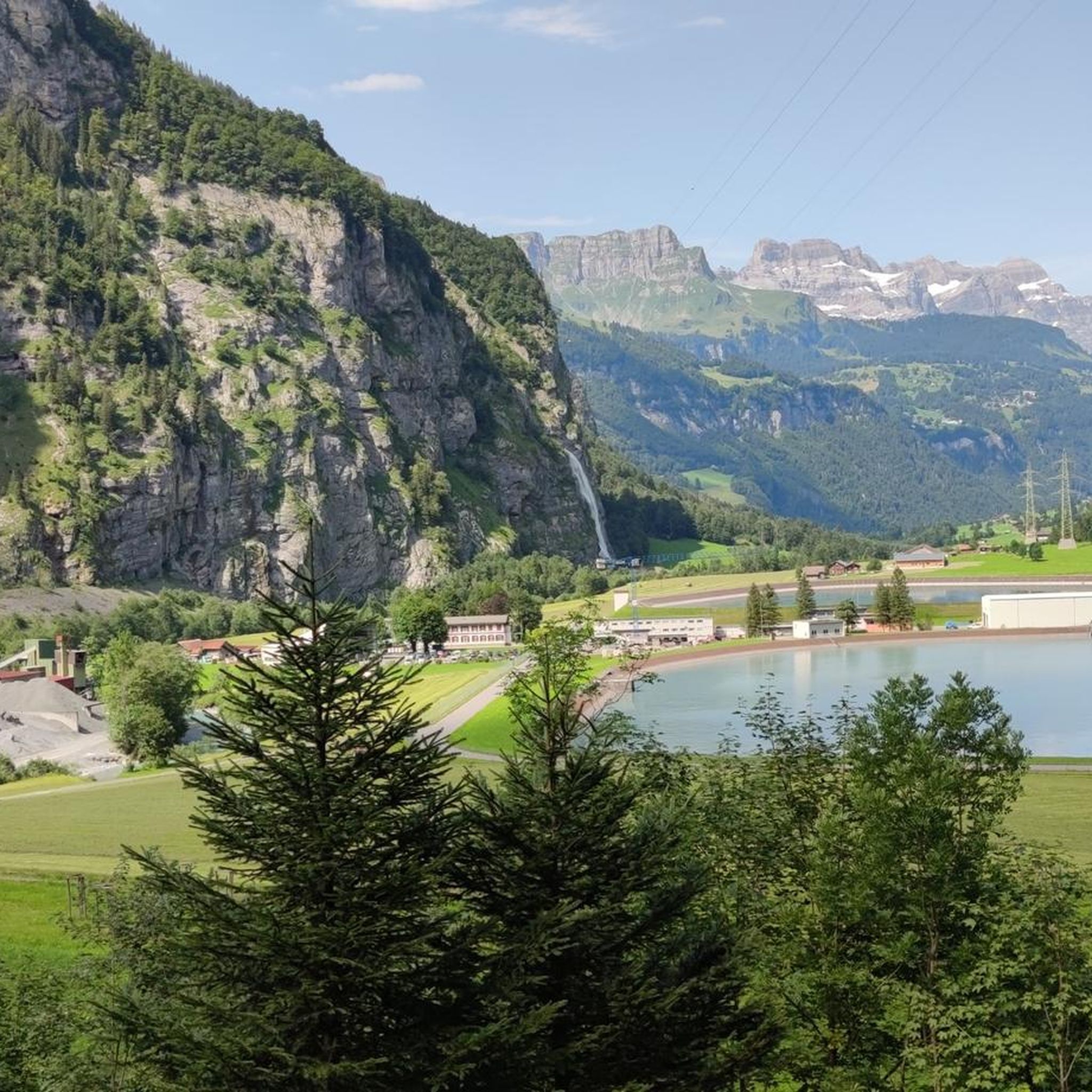
From here you can clearly see and understand the extent of this special high valley.
0
0

A few meters of cobbles, they won't last long!
0
0

Disentis is the largest town in Surselva and NOT Ilanz.
1
0

A very clean town and well-designed areas.
3
0

Scenic pass that is opened all year round (closes at 6pm in winter). There is hardly any traffic which makes cycling very nice and plenty of opportunities to take pictures. We crossed the pass in early May when there was still plenty of snow up there. The change in scenery where it was all green at Disentis and slowly turning white as we climbed higher... and very quickly turned to green as we rolled down on the south side to Biasca was breathtaking.
0
1

Because of the many tunnels, you should definitely have lights (which are mandatory anyway) mounted on the front and rear of your bike when riding over the Lukmanier Pass.
1
0

The two German and late Romanesque components of the place name suggest that this is a monastery at the crossroads. And indeed, even after 1,400 years, Disentis Monastery remains an important architectural highlight in Graubünden. The town remains popular for hiking today, as with a total length of around 180 kilometers, there are a variety of hiking trails around the town for all tastes, from leisurely hikes to challenging ones.
1
0

A very beautiful bridge that has seen a lot. Simply great to look at.
1
0
Frequently Asked Questions
What is the general difficulty level of road cycling routes around Linthal?
Road cycling around Linthal is characterized by significant elevation changes, making most routes moderate to difficult. There are 8 moderate routes and 6 difficult routes available, with no easy routes listed in the current selection. Cyclists should be prepared for challenging climbs and rewarding descents.
Are there any beginner-friendly road cycling routes in Linthal?
The road cycling routes around Linthal are generally geared towards experienced cyclists. The current selection of routes includes 8 moderate and 6 difficult options, meaning there are no routes specifically classified as easy for beginners.
What kind of scenery can I expect on road cycling routes in Linthal?
Linthal's road cycling routes offer diverse alpine scenery, including expansive views across high plateaus like the Urnerboden Plateau, challenging mountain passes such as the Klausen Pass and Lukmanier Pass, and impressive alpine waterfalls like the Stäubenfall and Fätschbach waterfall. You'll traverse alpine valleys and enjoy dramatic mountain vistas.
Are there any loop trails for road cycling in Linthal?
Yes, many of the road cycling routes in Linthal are designed as loops. For example, you can explore the Urnerboden Plateau – View of Stäubenfall loop from Leuggelbach or the Fätschbach waterfall – Urnerboden Plateau loop from Klausenpass, both offering circular journeys through the region's stunning landscapes.
What are some notable landmarks or attractions along the road cycling routes in Linthal?
While cycling, you might encounter natural wonders and historical sites. Highlights include the Kärpfbrücke Natural Bridge and the Kropfenstein Castle Ruins (Casti Grotta). The region also features several impressive caves, such as the Entrance to Landesplattenberg Slate Quarry, Engi, and the Source of the Sernf River Cave.
Are there any huts or shelters accessible from the road cycling routes?
While primarily for hikers, some huts are located in the broader Linthal area and might be accessible or visible from certain routes. These include the Glattalp Hut, Cavardiras Hut (Cavardirashütte), and Leglerhütte SAC. Always check accessibility and opening times if planning a stop.
What do other road cyclists say about the routes in Linthal?
The road cycling routes in Linthal are highly regarded by the komoot community, with an average rating of 4.6 out of 5 stars from over 60 reviews. Cyclists often praise the challenging climbs, the stunning alpine vistas, and the well-maintained roads through diverse landscapes.
What is the typical length and duration of road cycling routes in Linthal?
The routes vary in length and duration, reflecting their challenging nature. For instance, the Urnerboden Plateau – View of Stäubenfall loop from Leuggelbach is approximately 78.2 km and takes around 4 hours 50 minutes, while the Fätschbach waterfall – Urnerboden Plateau loop from Klausenpass is about 43.3 km and can be completed in roughly 2 hours 48 minutes.
When is the best time of year for road biking in Linthal?
The best time for road cycling in Linthal is typically from late spring to early autumn (May to October), when mountain passes are clear of snow and weather conditions are generally stable. Always check local weather forecasts and pass conditions before heading out, especially in shoulder seasons.
Are there any routes that feature specific mountain passes?
Yes, several routes incorporate famous mountain passes. The Start of the Klausen Pass – Urnerboden Plateau loop from Elm navigates terrain near the Klausen Pass, offering a classic alpine cycling experience. Another route, the Lukmanier Pass – Disentis/Mustér loop from Sumvitg-Cumpadials, takes you over the Lukmanier Pass.
What are the road conditions like on Linthal's cycling routes?
Road cycling routes in Linthal generally feature well-maintained asphalt roads, suitable for road bikes. However, given the alpine environment, cyclists should be prepared for varying road surfaces, including potential gravel sections on some less-traveled roads, and always exercise caution on descents.
Can I find routes that offer views of waterfalls?
Absolutely. The region is known for its alpine waterfalls. The Urnerboden Plateau – View of Stäubenfall loop from Leuggelbach offers extensive views towards the Stäubenfall waterfall, and the Fätschbach waterfall – Urnerboden Plateau loop from Klausenpass directly leads past the Fätschbach waterfall.
Most popular attractions around Linthal

Get inspired with the komoot mobile app


Explore more
Browse the best Road cycling routes in other regions.
