The best walks and hikes around Clogher South
4.6
(679)
5,962
hikers
61
hikes
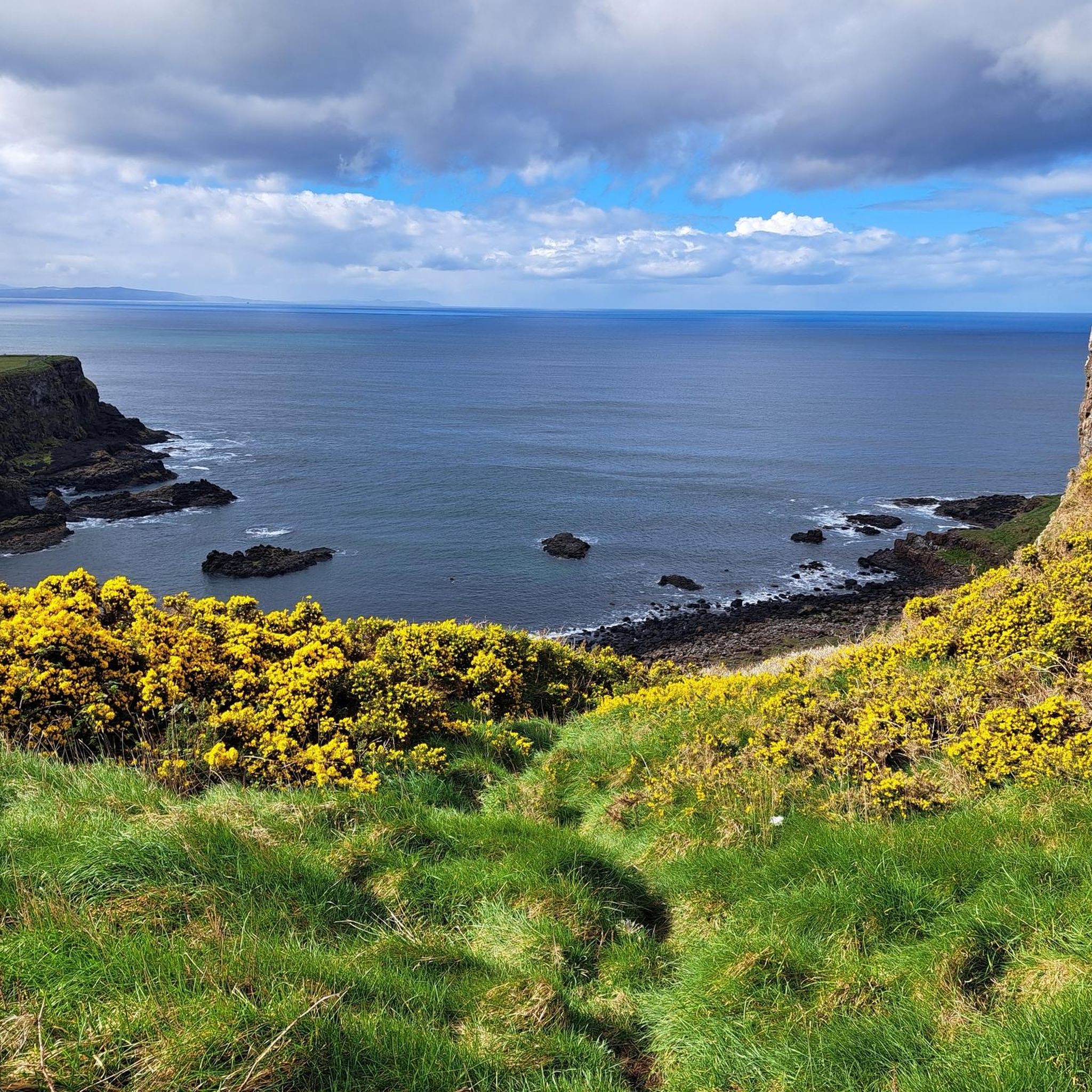
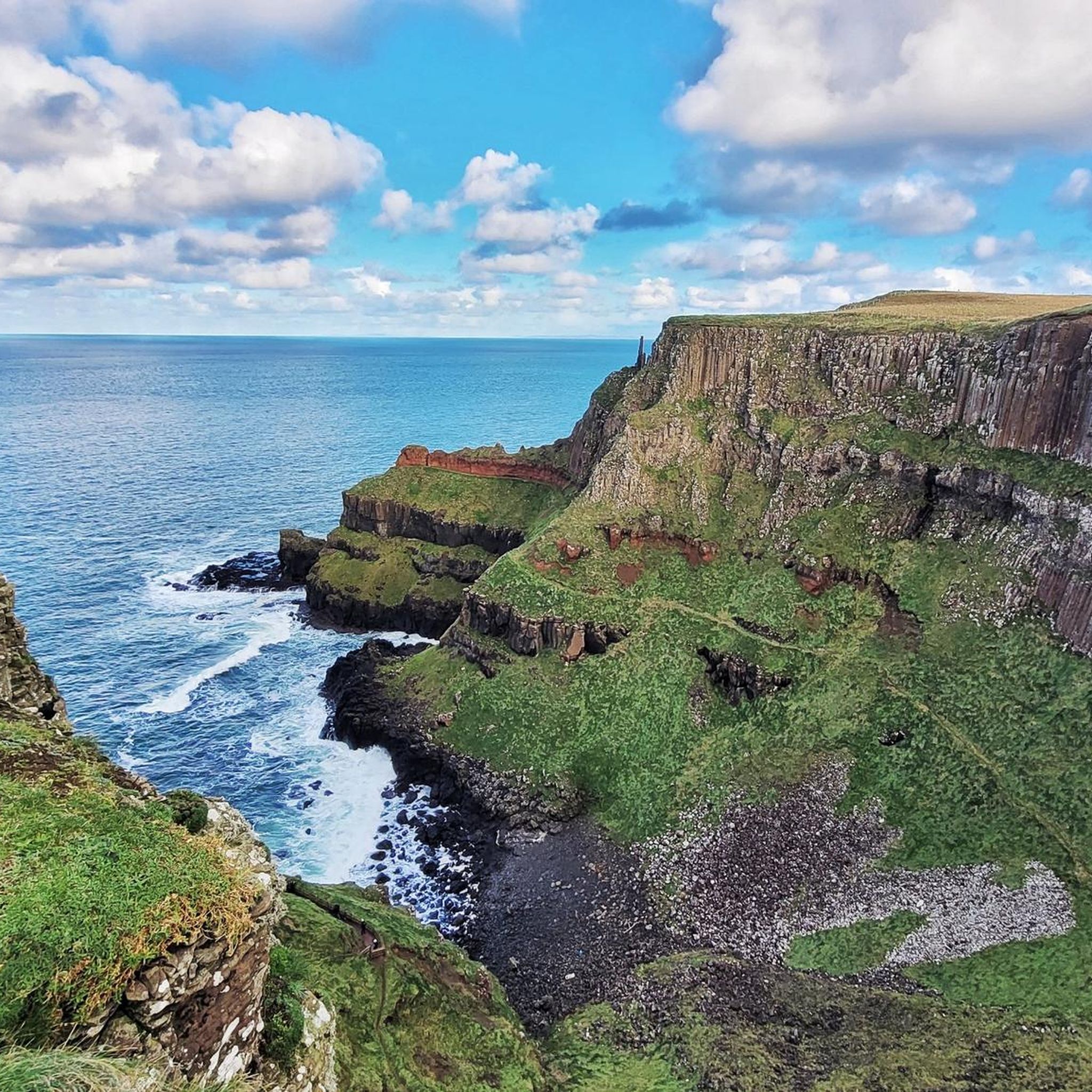
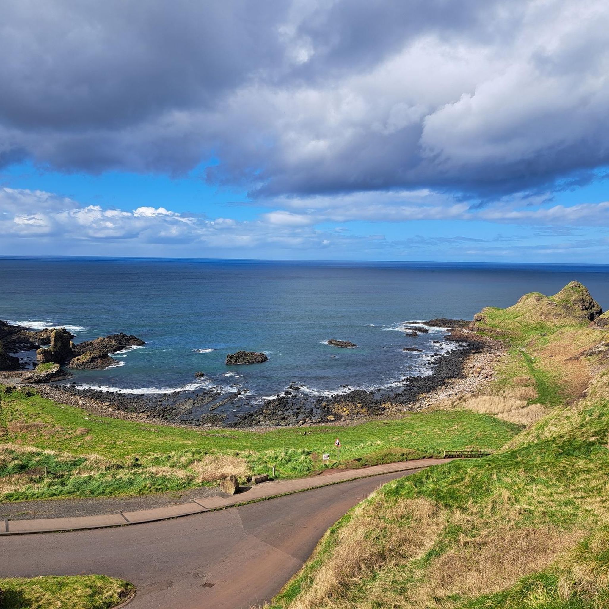
Hikes around Clogher South feature routes primarily along the Causeway Coast in County Antrim. The landscape is defined by dramatic coastal cliffs, basalt rock formations, and paths offering views over the Atlantic Ocean. The trails in this area navigate a mix of coastal paths, quiet country lanes, and sections of old railway lines.
Best hiking trails around Clogher South
- The most popular hiking route is Bushmills & Giant's Causeway Visitor Centre loop via Railway Line — Causeway Coast, a…
Last updated: May 13, 2026
4.7
(9)
64
hikers
8.69km
02:16
70m
70m
Hike the Causeway Coast Way from Bushmills to the Giant's Causeway, a moderate route spanning 5.4 miles (8.7 km) with an elevation gain of 214 feet (65 metres). This journey…
4.5
(22)
204
hikers
11.4km
03:02
120m
120m
Moderate hike. Good fitness required. Easily-accessible paths. Suitable for all skill levels.

Sign up for free
3.8
(4)
82
hikers
11.3km
03:03
140m
140m
Moderate hike. Good fitness required. Easily-accessible paths. Suitable for all skill levels.
4.0
(1)
14
hikers
Moderate hike. Good fitness required. Easily-accessible paths. Suitable for all skill levels.
4.5
(4)
8
hikers
10.7km
02:50
100m
100m
Moderate hike. Good fitness required. Easily-accessible paths. Suitable for all skill levels.
Get access to more routes and recommendations from other explorers.
Sign up for free
Already have an account?
Our route recommendations are based on thousands of hikes, rides, and runs completed by other people on komoot.
Start today with a free account
Your next adventure awaits.
Login or Signup
Popular around Clogher South
Tips from the Community

Fantastically beautiful view, landscape a bit rough but the people really warm-hearted ♥️ definitely want to go again 😊☀️
0
0


a great viewpoint with a fantastic view
0
0
Shop with a good selection of whiskeys
3
0

A dream in good weather
0
0
Frequently Asked Questions
Where exactly is the Clogher South hiking area?
The Clogher South hiking region is located in County Antrim, Northern Ireland. The trails are concentrated along the famous Causeway Coast, featuring routes around landmarks like the Giant's Causeway and the town of Bushmills.
Are there many circular walks available?
Yes, many of the routes are loops that start and end in the same place, which is convenient for parking. A great example of a longer, more challenging circular route is the Hamilton's Seat Viewpoint – The Organ — Giant's Causeway loop from Bushmills, which offers extensive coastal views.
What are the trails like in Clogher South?
The landscape is defined by its dramatic coastal scenery. Expect to hike along cliff-top paths with views over the Atlantic, see unique basalt rock formations, and walk on quiet country lanes. Some routes also follow sections of old, disused railway lines.
Are there any easy, family-friendly walks?
Yes, there are over 30 easy-rated walks in the area suitable for families. These routes generally have less elevation and are shorter in length, often using well-maintained coastal paths and country lanes that are perfect for a day out with children.
Can I bring my dog on the trails?
Dogs are often welcome on the public paths and country lanes, but you should always keep them on a lead. Be aware that some trails cross active farmland where livestock may be present, and access to specific heritage sites or nature reserves might have restrictions.
How many hiking trails are there around Clogher South?
There are over 60 marked hiking routes to explore in the Clogher South area. They range from easy coastal strolls to more difficult cliff-top hikes, offering plenty of options for all fitness levels.
What do other hikers think of the trails in this area?
The hiking routes around Clogher South are highly regarded by the komoot community, with an average rating of 4.6 stars. Hikers frequently praise the stunning coastal views, the unique geological formations like the basalt columns, and the mix of trail types.
Is it possible to reach the trailheads using public transport?
Yes, the area is accessible by public transport. The town of Bushmills is a central hub for many trails and is served by local bus routes. From there, you can often walk directly to the start of several popular hikes.
Where can I find parking for the hikes?
Parking is available in the town of Bushmills and at designated car parks for major attractions like the Giant's Causeway Visitor Centre. Starting your hike from a town or a dedicated car park is recommended, especially for the popular circular routes.
Are there any historical sites to see along the walks?
Absolutely. The region is rich in history. For instance, the Giant's Causeway – The Organ — Giant's Causeway loop from Bushmills not only showcases incredible geology but also takes you through an area steeped in myth and legend. Other trails offer fantastic views of historic sites like Dunluce Castle.
What should I pack for a hike on the Causeway Coast?
Sturdy, waterproof hiking boots are essential as the terrain can be uneven and wet. The weather is very changeable, so waterproof outerwear and dressing in layers is highly recommended, even on a sunny day. Also, bring enough water and some snacks, as services can be sparse between towns.
Are there pubs or cafes near the trails?
Yes, the town of Bushmills is the main hub for the area and offers a good selection of pubs, cafes, and restaurants. It's a great place to start or end your hike for a meal or a refreshing drink.
Most popular routes around Clogher South
Most popular attractions around Clogher South

Get inspired with the komoot mobile app


Explore more
Browse the best Hikes in other regions.
