The best running trails around Haßfurt
4.6
(87)
985
runners
104
runs
Jogging routes around Haßfurt are set within the scenic Haßberge mountains, offering a diverse landscape for runners. The region features rolling hills and varied terrain, providing options for different fitness levels. The Main River flows through the area, presenting flat and tranquil riverside paths, while the Nassach Valley offers an idyllic route for a run. This combination of natural features makes Haßfurt an engaging destination for outdoor activities.
Best jogging routes around Haßfurt
- The most popular jogging route is View…
Last updated: August 26, 2026
4.5
(6)
121
runners
9.43km
01:00
120m
120m
Moderate run. Good fitness required. Mostly paved surfaces. Suitable for all skill levels.
5.0
(2)
43
runners
9.44km
00:59
20m
20m
Moderate run. Good fitness required. Mostly paved surfaces. Suitable for all skill levels.

Sign up for free
4.6
(19)
23
runners
10.6km
01:06
60m
60m
Moderate run. Good fitness required. Mostly paved surfaces. Suitable for all skill levels.
4.7
(3)
23
runners
8.33km
00:52
20m
20m
Moderate run. Good fitness required. Mostly paved surfaces. Suitable for all skill levels.
4.0
(1)
24
runners
14.7km
01:31
70m
70m
Moderate run. Good fitness required. Mostly paved surfaces. Suitable for all skill levels.
Get access to more routes and recommendations from other explorers.
Sign up for free
Already have an account?
Our route recommendations are based on thousands of hikes, rides, and runs completed by other people on komoot.
Start today with a free account
Your next adventure awaits.
Login or Signup
Popular around Haßfurt
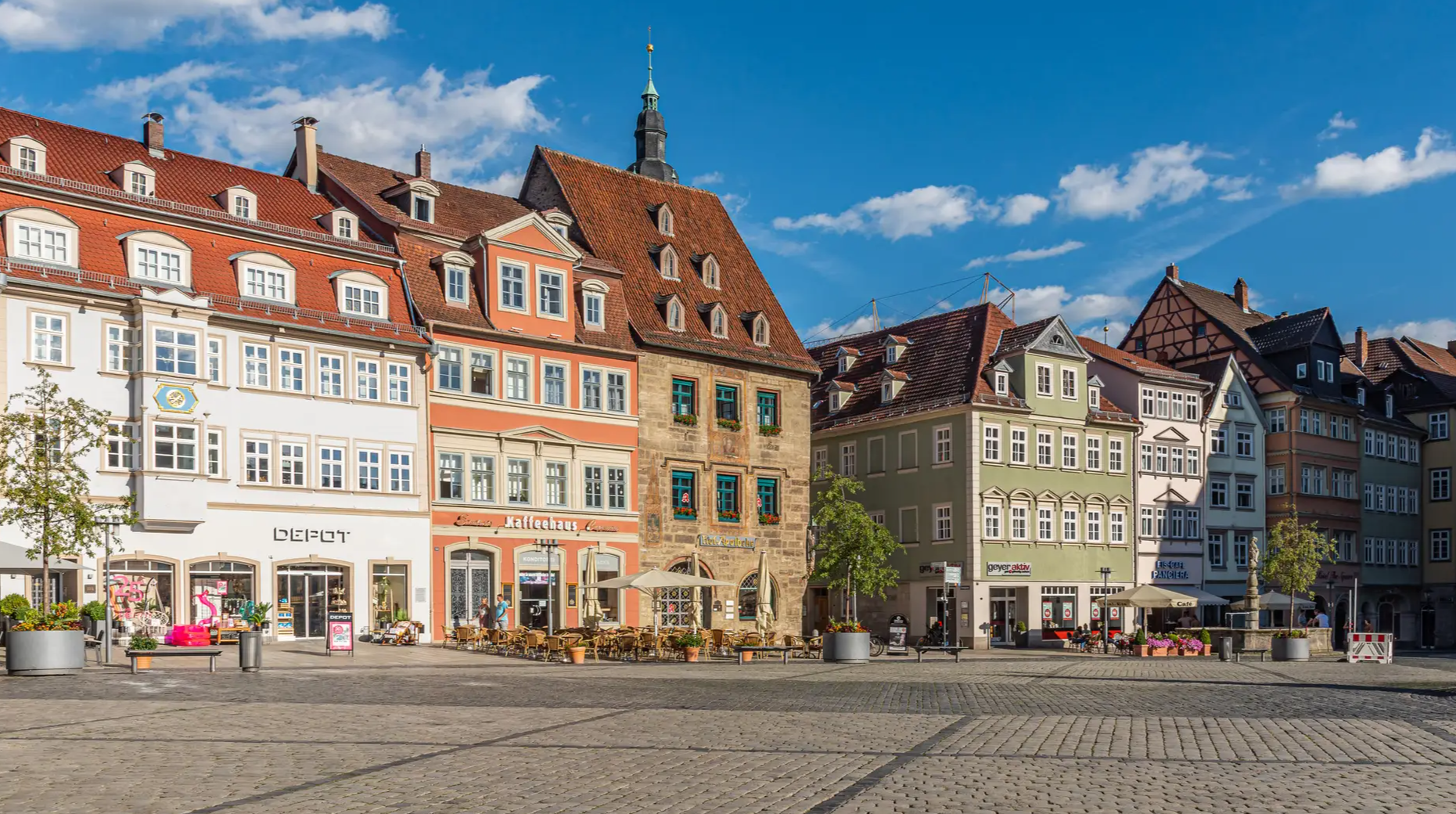
From the metropolis to enjoyment – city hiking on the VGN
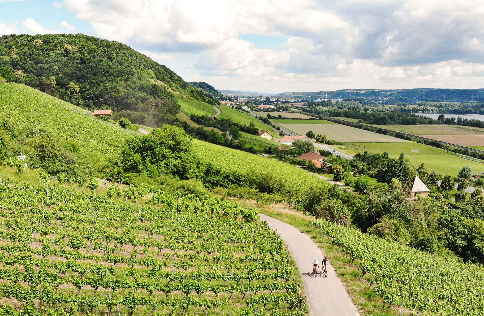
Castles, beer and wine — beautiful rides in the Hass mountains
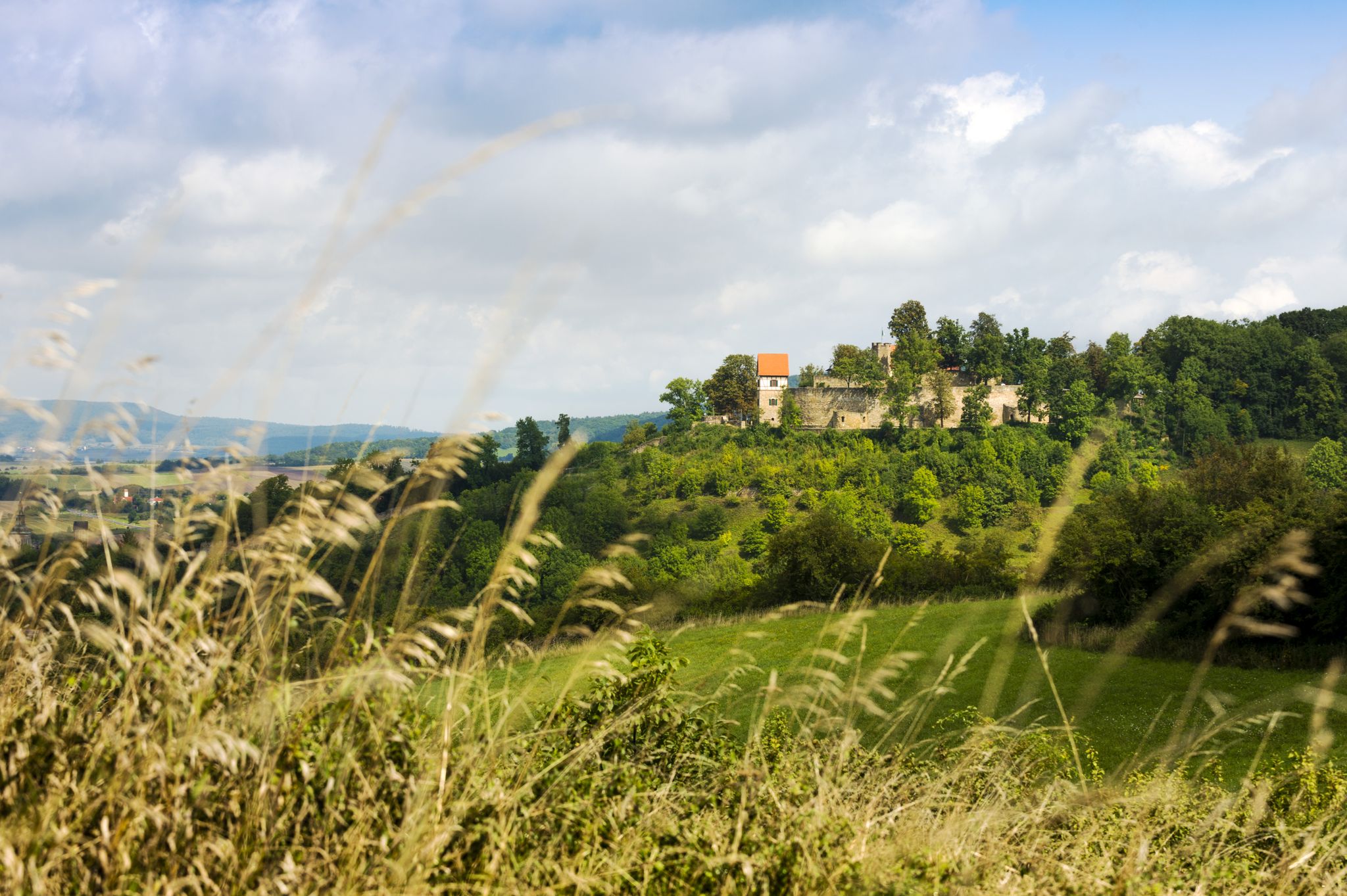
VGN Summer Challenge 2020 – hike with the VGN and win prizes
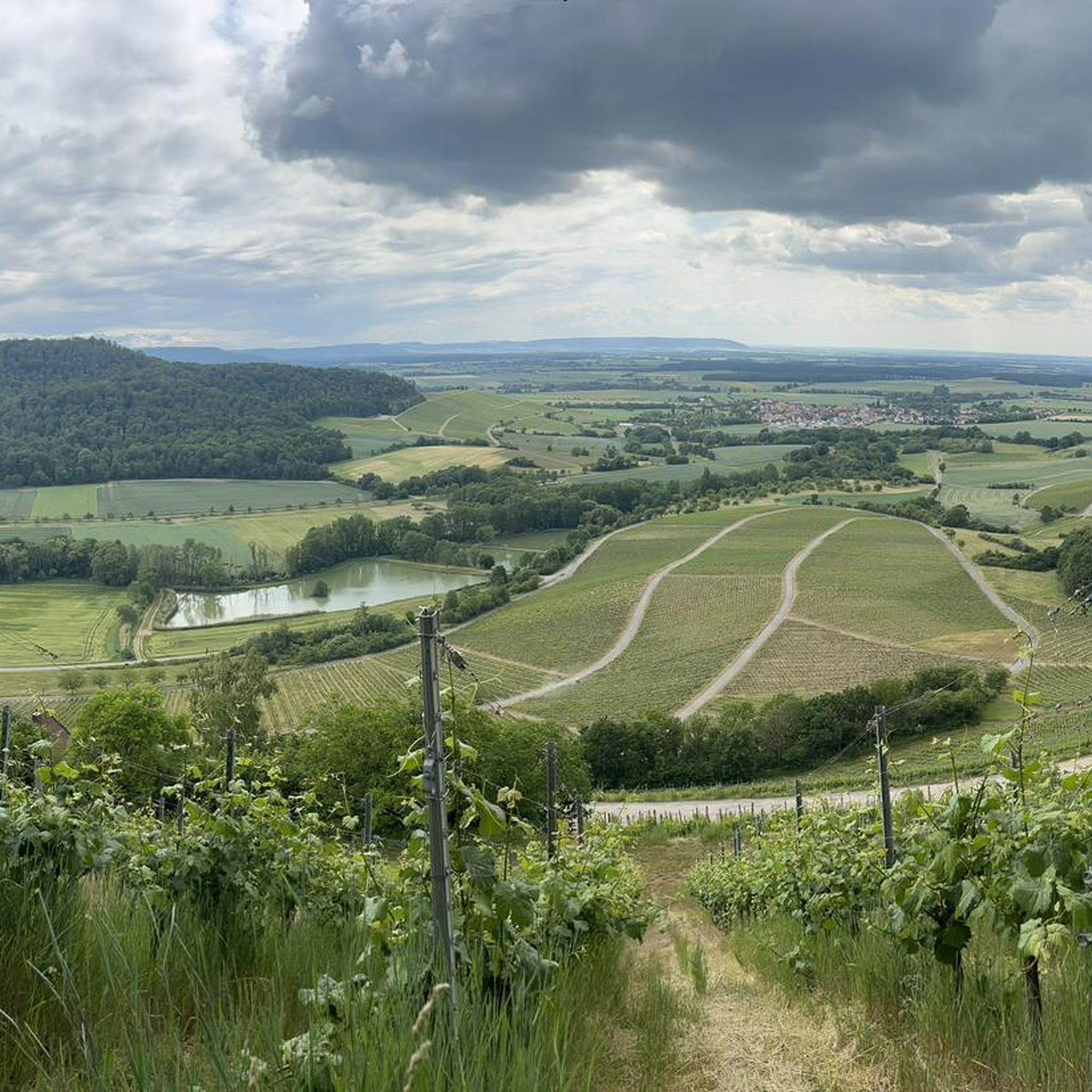
Cycling around Haßfurt
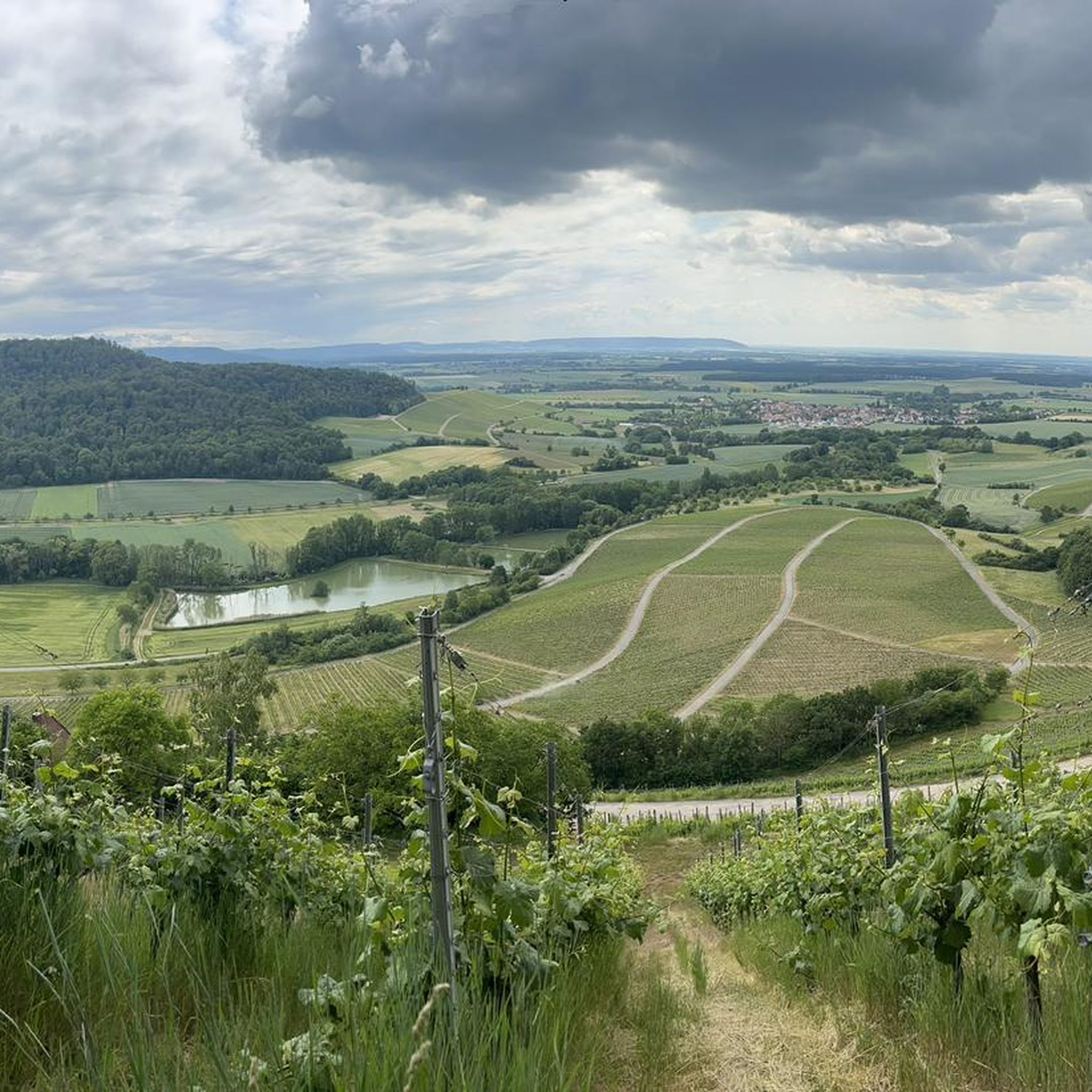
Hiking around Haßfurt
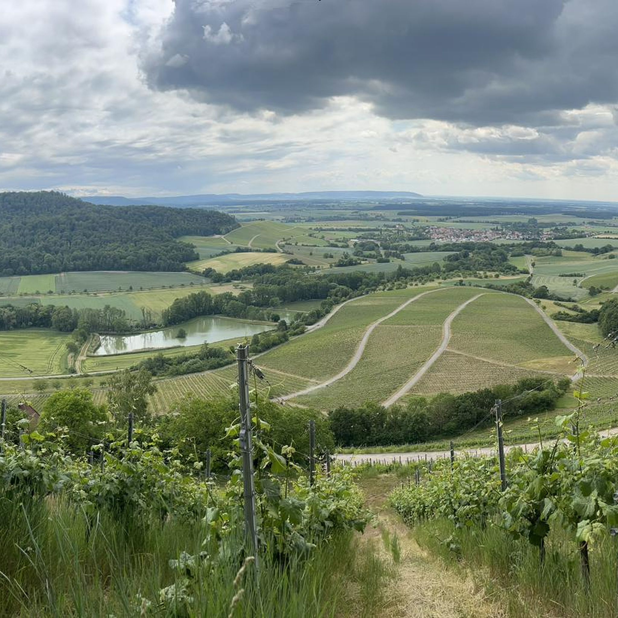
Road Cycling Routes around Haßfurt
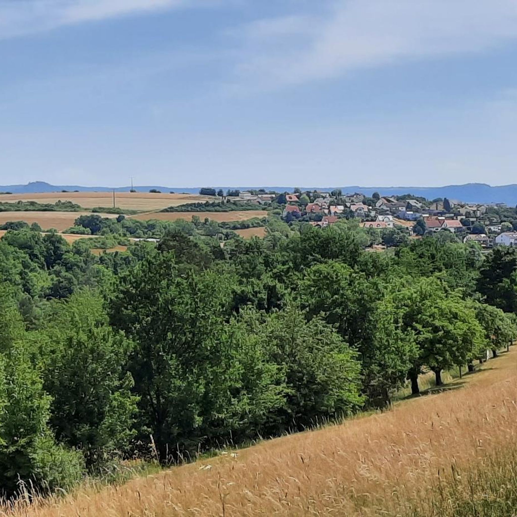
MTB Trails around Haßfurt

Gravel biking around Haßfurt
Other adventures around Haßfurt


Tips from the Community

The path is unfortunately currently anything but glorious. Fallen trees, steep slopes, and the path has been partially washed away by the rain
0
0
In the dead end at the police, didn't even know it continued there. Today the beekeeper was also on site
0
0

Did he crash there or land voluntarily?
0
0

When the city gets too crowded, this is the place to be. Idyllic, quiet, beautiful
0
0
When the city gets too crowded, here is the balance, idyll and peace
0
0

You don't see that every day
0
1

The Main, with a length of 527 kilometers, is the longest right-hand tributary of the Rhine. The Main's source rivers originate in the Fichtel Mountains (White Main) and the Franconian Jura (Red Main). On the western edge of the town of Kulmbach, in the Melkendorf district, near Steinenhausen Castle, the two source rivers merge to form the Main River itself. Despite many marked changes of direction, the river maintains its main flow direction from east to west – rare in Central Europe – and touches several Franconian low mountain ranges. Large parts of the Franconian wine-growing region and numerous, partly well-preserved, historic town centers lie along the Main. The Main flows through large metropolitan areas around Würzburg and Frankfurt.
0
0
Frequently Asked Questions
How many running routes are available in Haßfurt?
There are over 100 running routes around Haßfurt, catering to various fitness levels and preferences. These routes explore the scenic Haßberge mountains, the tranquil Main River, and the picturesque Nassach Valley.
What kind of terrain can I expect on jogging routes around Haßfurt?
The terrain around Haßfurt is quite diverse. You'll find everything from flat, paved paths along the Main River, ideal for easy runs, to more challenging routes with rolling hills and elevation changes within the Haßberge mountains. Some trails require sure-footedness, while others are accessible paths.
Are there easy running routes suitable for beginners or casual jogs?
Yes, Haßfurt offers several easy running routes. For instance, the flat riverside paths along the Main River are perfect for a relaxed jog. Overall, 9 of the routes are classified as easy, providing gentle options for all skill levels.
Are there any challenging running trails for more experienced runners?
Absolutely. For those seeking a greater challenge, the Haßberge mountains provide routes with significant elevation changes and varied terrain. There are 7 routes classified as difficult, and 84 as moderate, ensuring plenty of options for a strenuous workout.
What can I see along the running routes in Haßfurt?
Many running routes offer scenic views and pass by interesting landmarks. You might jog past the historic Old Town of Zeil am Main with its half-timbered architecture, or enjoy the landscaped Eltmann Main Riverside Promenade. The region also features natural highlights like bathing lakes and a bird sanctuary with views of the Main water meadows.
Are there any circular running routes in the Haßfurt area?
Yes, many of the running routes around Haßfurt are designed as loops, offering convenient starting and ending points. Examples include the View of Hohe Wann loop from Kleinaugsfeld, the Knight's Chapel, Haßfurt – Fröschturm loop from Haßfurt, and the Rappberg loop from Haßfurt.
What do other runners enjoy most about jogging in Haßfurt?
The running routes in Haßfurt are highly rated by the komoot community, with an average score of 4.6 stars from nearly 50 reviews. Runners often praise the diverse landscape, from serene riverside paths to the rolling hills of the Haßberge, and the well-maintained trails that cater to all fitness levels.
Can I bring my dog on the running trails in Haßfurt?
While specific regulations can vary by trail, many natural areas and paths in the Haßfurt region are dog-friendly. It's generally recommended to keep dogs on a leash, especially in nature reserves or areas with wildlife, and to be mindful of other users. Always check local signage for specific rules.
Are there any running routes that pass by historical sites?
Yes, several routes incorporate historical elements. For example, the Knight's Chapel, Haßfurt – Fröschturm loop from Haßfurt passes historical landmarks. You can also find routes that take you through the Haßfurt Old Town or near the historic Old Town of Zeil am Main, adding a cultural dimension to your run.
What is the typical length of running routes in Haßfurt?
The running routes in Haßfurt vary significantly in length. You can find shorter loops, such as the View of Hohe Wann loop from Kleinaugsfeld at 8.7 km, or longer trails like the Rappberg loop from Haßfurt which is 12.5 km. This variety ensures options for a quick jog or a more extensive workout.
Are there any running routes near the Main River?
Yes, the Main River flows through the area and offers excellent, mostly flat and scenic riverside paths. These routes provide tranquil views and are often suitable for all fitness levels. The Haßfurt Harbor – Beehive at Ziegelbrunn loop from Haßfurt is an example of a route that utilizes the riverside environment.
Most popular routes around Haßfurt
Most popular attractions around Haßfurt

Get inspired with the komoot mobile app


Explore more
Browse the best Running Trails & Routes in other regions.
