The best running trails around Güntersleben
4.6
(34)
281
runners
27
runs
Jogging around Güntersleben offers diverse terrain, characterized by green hills, picturesque landscapes, and varied natural features. The region features the Dürrbach Valley with its stream, extensive forest areas like the Gramschatzer Wald and Edelmannswald, and scenic vineyards. Runners can find routes with minimal elevation changes along river paths or more challenging trails through forested hills and elevated viewpoints. This varied topography provides a range of running experiences for different preferences.
Best jogging routes around Güntersleben
- The most popular jogging route…
Last updated: October 29, 2026
5.0
(6)
10
runners
9.64km
01:03
140m
140m
Moderate run. Good fitness required. Mostly paved surfaces.
10
runners
5.51km
00:35
70m
70m
Moderate run. Good fitness required. Mostly paved surfaces.

5.0
(2)
9
runners
10.7km
01:08
140m
140m
Moderate run. Good fitness required. Mostly paved surfaces.
5.0
(1)
9
runners
4.77km
00:31
70m
70m
Easy run. Mostly paved surfaces.
4.0
(1)
7
runners
Moderate run. Good fitness required. Mostly paved surfaces.
Get access to more routes and recommendations from other explorers.
Already have an account?
Our route recommendations are based on thousands of hikes, rides, and runs completed by other people on komoot.
Start today with a free account
Your next adventure awaits.
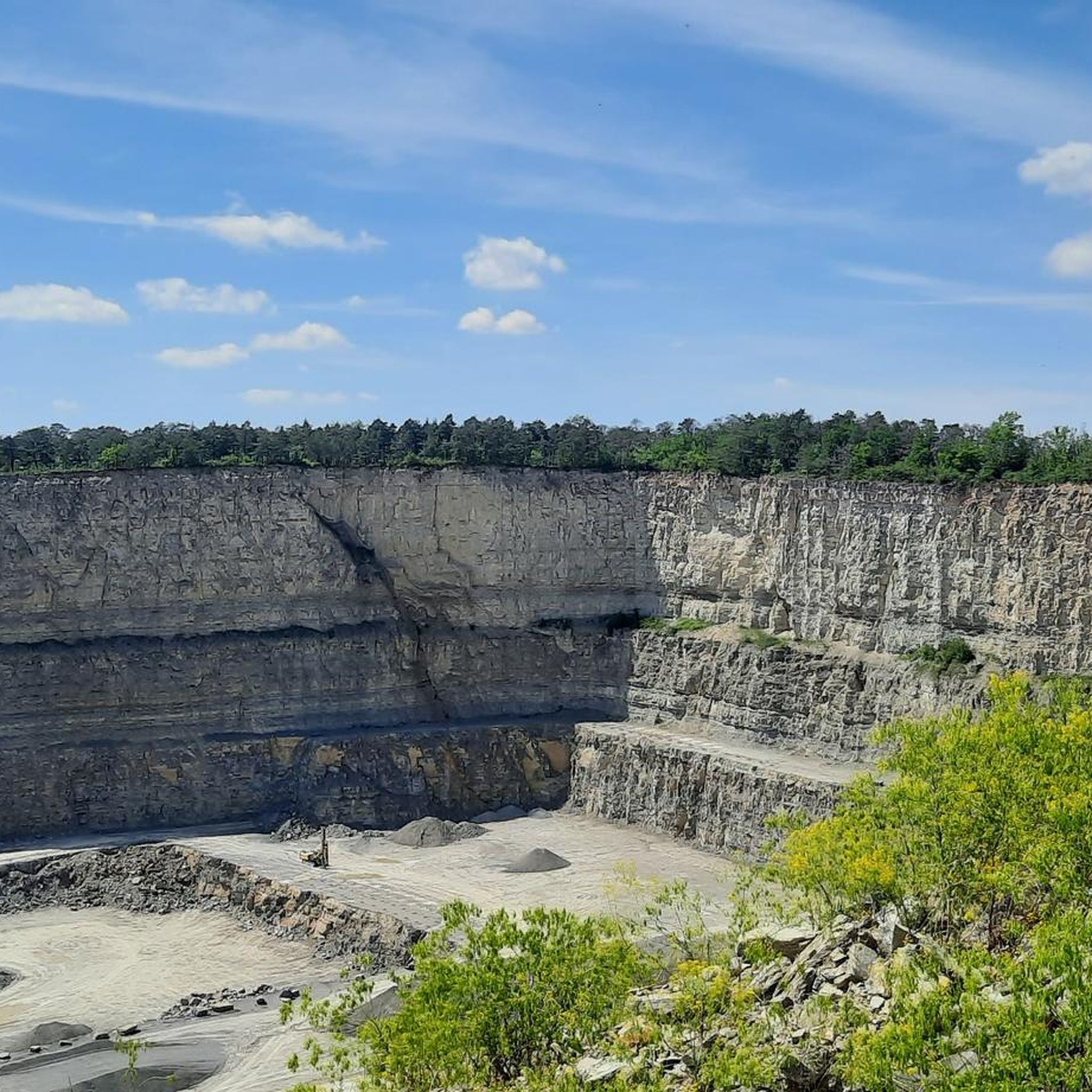
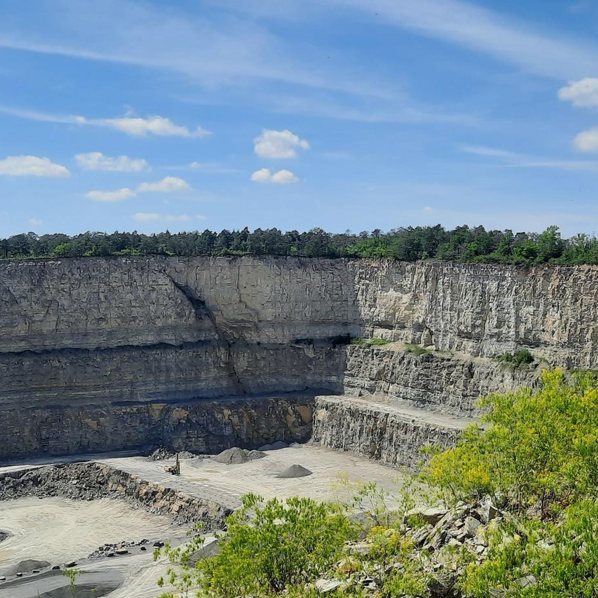
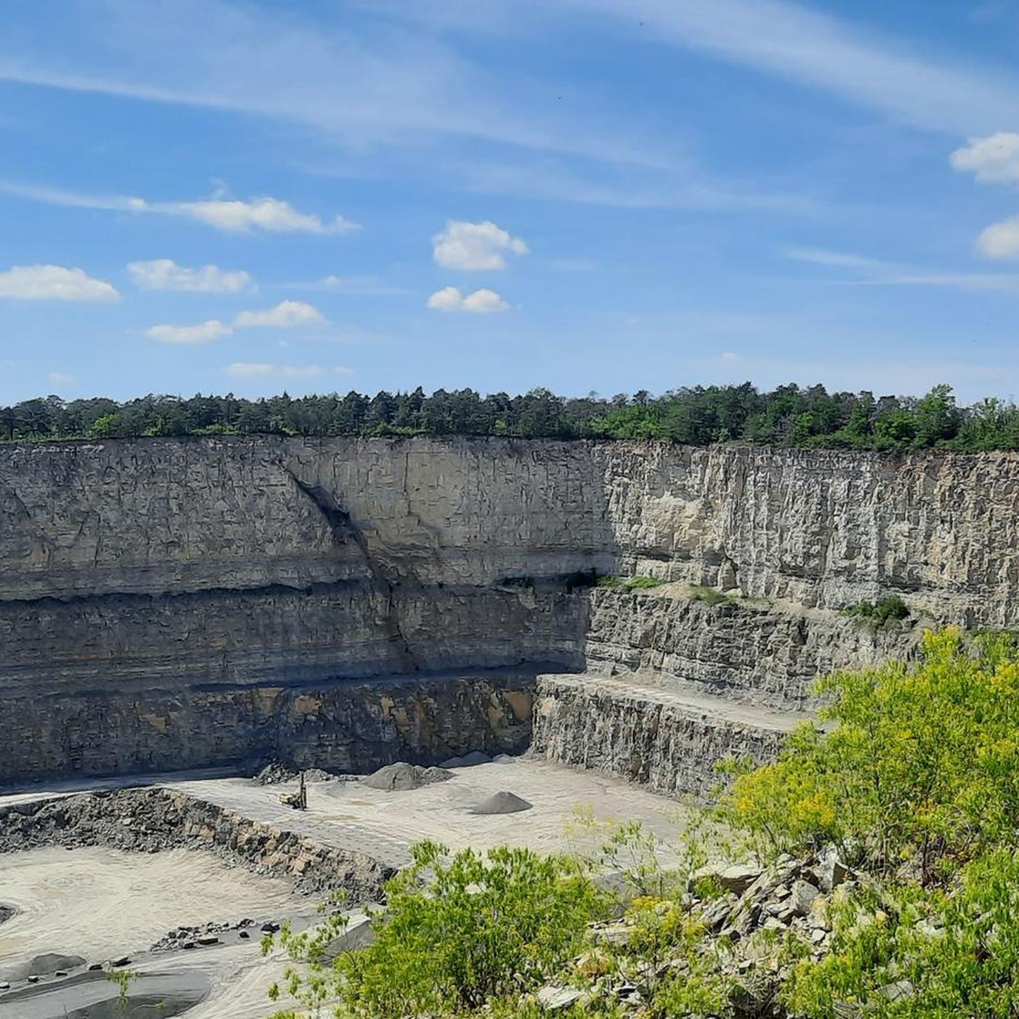
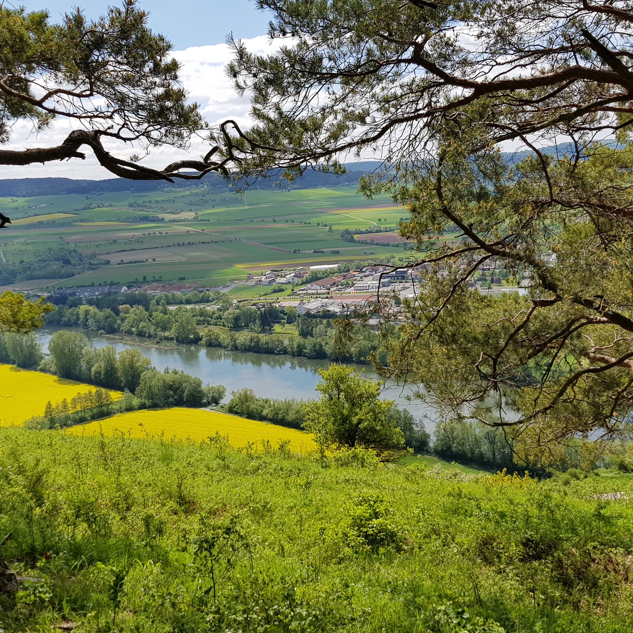
Tips from the Community

Since Brexit, this is the center of the EU. The place is nicely designed, with information boards, a stone with a pole where you can take photos, as well as a bench with a table and a view of the fields.
0
0

Start Fool's Recreation Trail
0
0

The center of the EU since England's exit 🏴.
0
0

Unfortunately it was very windy here
1
0
Who can say he took a break at the center of the EU?
0
0

Great spot in the middle of nowhere! Very nicely laid out.
0
0

Frequently Asked Questions
How many running routes are available in Güntersleben?
Güntersleben offers a good selection of running routes, with over 25 trails available. These range in difficulty from easy to challenging, ensuring options for various fitness levels.
What kind of terrain can I expect on running trails in Güntersleben?
The running trails in Güntersleben feature diverse terrain. You'll find flat paths along the Dürrbach Valley, rolling hills through extensive forest areas like the Gramschatzer Wald and Edelmannswald, and scenic paths winding through local vineyards. This mix provides varied experiences, from gentle jogs to more demanding runs.
Are there easy running routes suitable for beginners or casual joggers?
Yes, Güntersleben has several easy running routes perfect for beginners or those looking for a more relaxed pace. For instance, the Dürrbach Valley offers paths with minimal elevation changes, providing a pleasant and accessible running experience.
What do other runners say about the trails in Güntersleben?
The running routes in Güntersleben are highly rated by the komoot community, with an average score of 4.6 stars from over 30 reviews. Runners often praise the varied terrain, the beautiful natural scenery, and the well-maintained paths that make for an enjoyable outdoor experience.
Are there any scenic viewpoints along the running routes?
Absolutely! For panoramic views, consider a run towards Steinhöhe Summit Cross, the second-highest point in the Würzburg district. On clear days, you can enjoy expansive vistas of the Spessart, Rhön, Steigerwald, and Würzburg's Frankenwarte. Another notable spot is the Breitfeldhöhe Summit and Panoramic Viewpoint.
Can I find running routes that pass through forests or natural reserves?
Yes, Güntersleben is surrounded by beautiful forested areas. The Gramschatzer Wald to the north offers diverse tree populations and extensive forest trails, ideal for longer runs. The Edelmannswald is another excellent choice, with routes like the Eichenloh loop from Güntersleben taking you through its serene woods. You can also explore the picturesque Orchid Trail in the Höhfeldplatte and Scharlachberg Nature Reserve, especially beautiful in May and June.
Are there running routes that explore the local vineyards?
Yes, Güntersleben has a rich viticulture tradition, and its sunny vineyards offer scenic paths for running. The 'Günterslebener Sommerstuhl' is a notable wine-growing area, and you can find paths that wind through these picturesque landscapes, particularly towards Thüngersheim in the west, providing unique views of the Franconian wine country.
Are there circular running routes in Güntersleben?
Many of the running routes in Güntersleben are designed as loops, offering convenient circular paths. A popular option is the Great road near Gadheim – Cycle Path Over the Dürbach loop from Güntersleben, which follows the Dürrbach cycle path. Another favorite is the Gebranntes Hölzlein loop from Güntersleben, winding through forested areas.
Are the running trails in Güntersleben suitable for families?
Yes, many trails in Güntersleben are suitable for families, especially those along the Dürrbach Valley which feature minimal elevation changes and well-maintained paths. The Dürrbachpark also offers a 'green oasis' with recreational activities, making it a good starting or ending point for a family-friendly run or walk.
Can I bring my dog on the running trails?
Generally, dogs are welcome on most outdoor trails in Güntersleben, especially in the forest areas like Gramschatzer Wald and Edelmannswald. However, it's always advisable to keep your dog on a leash, especially in nature reserves or near agricultural areas, and to respect local regulations regarding pets.
Are there any historical or cultural points of interest along the routes?
Yes, Güntersleben offers a blend of exercise and local history. You can find historical paths, including a 1.2 km path along the Dürrbach with 17 themed boards, and 13 information boards on historical buildings in the old town. Additionally, the village of Gadheim, which some routes pass near, is notable as the new geographical center of the European Union, adding an interesting point of reference to your run.
What is the best time of year for running in Güntersleben?
Güntersleben is enjoyable for running throughout much of the year. Spring and autumn offer pleasant temperatures and beautiful scenery, with wildflowers blooming in spring and vibrant foliage in autumn. Summer is also great, especially for shaded forest trails. Even in winter, the Gramschatzer Wald is suitable for various outdoor pursuits, including running, and features an 11 km cross-country skiing trail when there's snow.
Most popular routes around Güntersleben
Most popular attractions around Güntersleben

Get inspired with the komoot mobile app


Explore more
Browse the best Running Trails & Routes in other regions.
