The best walks and hikes around Altaveedan South
4.8
(6)
51
hikers
7
hikes
Hiking around Altaveedan South offers a network of trails through varied landscapes. The region features dense forests, open uplands, and reservoir areas, providing diverse environments for outdoor exploration. Trails often traverse rolling hills and offer views of the surrounding countryside. The area's geographical location provides access to both established forest paths and more open, elevated routes.
Best hiking trails around Altaveedan South
- The most popular hiking route is Moyle Way: Breen Forest Loop, a 5.7 miles (9.1 km) trail…
Last updated: May 21, 2026
5.0
(1)
2
hikers
9.10km
02:45
300m
300m
Embark on the Moyle Way: Breen Forest Loop, a moderate hike spanning 5.7 miles (9.1 km) with an elevation gain of 969 feet (295 metres), typically completed in 2 hours…
5.0
(1)
11
hikers
13.9km
03:48
210m
210m
Moderate hike. Good fitness required. Easily-accessible paths. Suitable for all skill levels.

Sign up for free
4.0
(2)
11
hikers
3.54km
01:06
150m
150m
Easy hike. Great for any fitness level. Easily-accessible paths. Suitable for all skill levels.
4
hikers
22.0km
06:20
520m
520m
Hard hike. Very good fitness required. Easily-accessible paths. Suitable for all skill levels.
6
hikers
2.73km
00:45
50m
50m
Easy hike. Great for any fitness level. Easily-accessible paths. Suitable for all skill levels.
Get access to more routes and recommendations from other explorers.
Sign up for free
Already have an account?
Our route recommendations are based on thousands of hikes, rides, and runs completed by other people on komoot.
Start today with a free account
Your next adventure awaits.
Login or Signup
Popular around Altaveedan South
Tips from the Community

Memorial stone and plaque in memory of fallen US soldiers and a Royal Air Force aircraft crash in which 10 people died
0
0

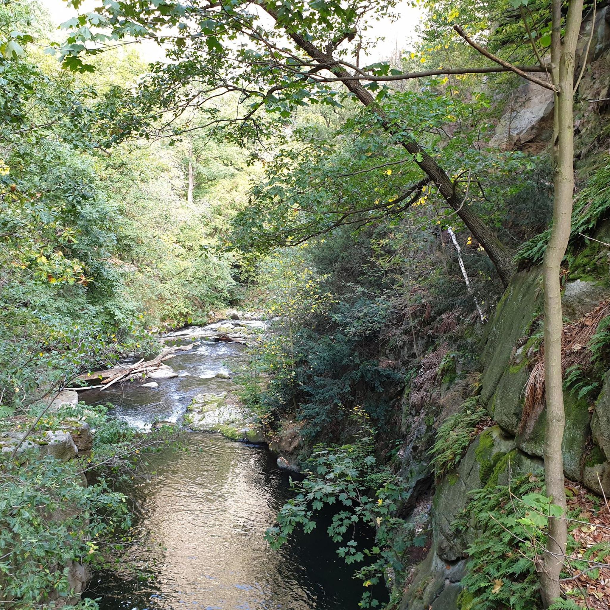
Stumble along the flowing Gleneshk River in the beautiful Breen Forest in County Antrim. The river is a refreshing oasis and great place to sit down and picnic before continuing on your journey.
2
0
The majestic Breen Forest covers an area of 600 hectares. A wide path leads you through the forest amongst beautiful native oak within a mainly coniferous woodland of maturing spruce, larch and pine.
1
0
Frequently Asked Questions
How many hiking trails are there in Altaveedan South?
Altaveedan South offers a selection of 7 hiking trails, ranging from easy walks to more challenging routes. These trails explore varied landscapes, including forests, uplands, and reservoir areas.
Are there easy hikes suitable for beginners in Altaveedan South?
Yes, Altaveedan South has 3 easy hiking routes perfect for beginners or those looking for a relaxed walk. An example is the Hiking loop from Slieveanorra, which is 2.2 miles (3.5 km) long and takes about an hour to complete, leading through open uplands.
Are there any circular walks in Altaveedan South?
Many of the trails in Altaveedan South are designed as circular routes. For instance, the popular Moyle Way: Breen Forest Loop is a 5.7-mile (9.1 km) circular trail through Breen Forest, and the Dungonnell Reservoir loop from Glenariff Forest offers an 8.6-mile (13.9 km) loop with reservoir views.
What are the longer or more challenging hiking options in Altaveedan South?
For those seeking a longer or more challenging experience, Altaveedan South features 1 difficult route. The Breen Forest loop from Croaghan is a demanding 13.7-mile (22 km) trail with significant elevation gain, offering a full day's adventure.
Can I bring my dog on the hiking trails in Altaveedan South?
Many trails in Altaveedan South are suitable for dogs, especially those through forest areas like Breen Forest. However, it's always recommended to keep dogs on a leash, particularly in areas with livestock or protected wildlife, and to check local signage for any specific restrictions.
Are there family-friendly hiking routes in Altaveedan South?
Yes, several routes are suitable for families. The easier trails, such as the Breen Forest loop from Ballycastle, are shorter and have less elevation, making them ideal for families with children. These routes often provide pleasant woodland walks.
What interesting places can I explore near the hiking trails in Altaveedan South?
Beyond the trails, Altaveedan South is close to several notable attractions. You can visit the iconic The Dark Hedges, explore the historic Gracehill House, or discover the scenic Waterfall and Bridge on the Glenariff River. These offer additional points of interest for your trip.
Are there any waterfalls or scenic water features along the trails?
While specific trails may not directly feature waterfalls, the region is known for its scenic water features. The Dungonnell Reservoir loop from Glenariff Forest offers beautiful views of Dungonnell Reservoir. Additionally, the Waterfall and Bridge on the Glenariff River is a nearby highlight worth exploring.
Is there parking available for hikers in Altaveedan South?
Parking is generally available at key trailheads and popular starting points for hikes in Altaveedan South, particularly near forest parks like Breen Forest and Glenariff Forest. It's advisable to check specific route descriptions for detailed parking information.
What is the best time of year to hike in Altaveedan South?
The best time to hike in Altaveedan South is typically from spring through autumn (April to October). During these months, the weather is generally milder, and the trails are more accessible. Spring brings blooming flora, while autumn offers vibrant foliage.
Are there options for winter hiking in Altaveedan South?
Winter hiking in Altaveedan South is possible, but conditions can be challenging with colder temperatures, shorter daylight hours, and potentially icy or muddy paths. It's recommended for experienced hikers with appropriate gear, and to check local weather forecasts before heading out.
What kind of wildlife might I see while hiking in Altaveedan South?
The diverse landscapes of Altaveedan South, including forests and open uplands, provide habitats for various wildlife. Hikers might spot common woodland birds, small mammals, and potentially deer. Keep an eye out, especially in quieter areas, for local fauna.
What do other hikers enjoy most about hiking in Altaveedan South?
The komoot community highly rates the hiking in Altaveedan South, with an average score of 4.75 stars from 6 reviews. Hikers often praise the varied terrain, from tranquil forest paths to open upland views, and the well-maintained trails that offer a rewarding outdoor experience.
Most popular routes around Altaveedan South
Most popular attractions around Altaveedan South

Get inspired with the komoot mobile app


Explore more
Browse the best Hikes in other regions.
