The best running trails around Oerlenbach
4.6
(73)
587
runners
64
runs
Jogging around Oerlenbach offers routes through varied terrain, characterized by gentle hills and open landscapes. The region features a mix of agricultural fields, small woodlands, and water features like lakes and basins, providing diverse scenery for runners. Elevation changes are generally moderate, making many routes accessible for different fitness levels. These trails often provide views of the surrounding countryside and local landmarks.
Best jogging routes around Oerlenbach
- The most popular jogging route is Terzenbrunn Chapel – View of the Wind…
Last updated: August 24, 2026
5.0
(1)
25
runners
11.7km
01:15
150m
150m
Moderate run. Good fitness required. Mostly paved surfaces. Suitable for all skill levels.
4.0
(6)
20
runners
Moderate run. Good fitness required. Mostly paved surfaces. Suitable for all skill levels.

Sign up for free
5.0
(1)
23
runners
16.0km
01:45
250m
250m
Hard run. Very good fitness required. Mostly paved surfaces. Suitable for all skill levels.
15
runners
Moderate run. Good fitness required. Mostly paved surfaces. Suitable for all skill levels.
3.0
(1)
13
runners
Hard run. Very good fitness required. Mostly paved surfaces. Suitable for all skill levels.
Get access to more routes and recommendations from other explorers.
Sign up for free
Already have an account?
Our route recommendations are based on thousands of hikes, rides, and runs completed by other people on komoot.
Start today with a free account
Your next adventure awaits.
Login or Signup
Other adventures around Oerlenbach

Tips from the Community

Those who climb the 120 steps will be rewarded with an overwhelming panoramic view. Food and drink are provided at the foot of the tower.
0
0


most beautiful wading pool in the area
0
0

Biotope on the former site of a brickworks. Several interesting information boards provide information about the history of the site, the flora and fauna that are worth protecting, and the animal world of this biotope. For families with children, this almost 40,000 square meter site offers a good opportunity to encounter nature.
2
0
Small town hall square in the center of the village. The Christmas market always takes place here at Christmas time
1
0


Poppenhausen celebrates many festivals at this central location, a nice place to take a rest
0
0
Hain celebrates many festivals here, which are highly recommended. Why: the women's homemade cakes are very tasty and fresh bread is often baked and sold in the bakery. In and around the barn and on the square next door there is plenty of space for beer benches, so that many guests can sit down.
0
0
Frequently Asked Questions
Are there easy jogging routes in Oerlenbach suitable for beginners?
Yes, Oerlenbach offers several easy running routes. The region's gentle hills and moderate elevation changes make many trails accessible. There are 11 easy tours available, providing a good starting point for new runners.
Can I find circular running routes around Oerlenbach?
Yes, many of the jogging routes in Oerlenbach are circular. For example, the popular Terzenbrunn Chapel – View of the Wind Turbines loop from Oerlenbach is a 4.2-mile loop offering open views. Another option is the Fishing club fish farming lake – Long Ascent and Descent loop from Oerlenbach, which is a 6.6-mile circular trail.
What kind of scenery can I expect on the running trails in Oerlenbach?
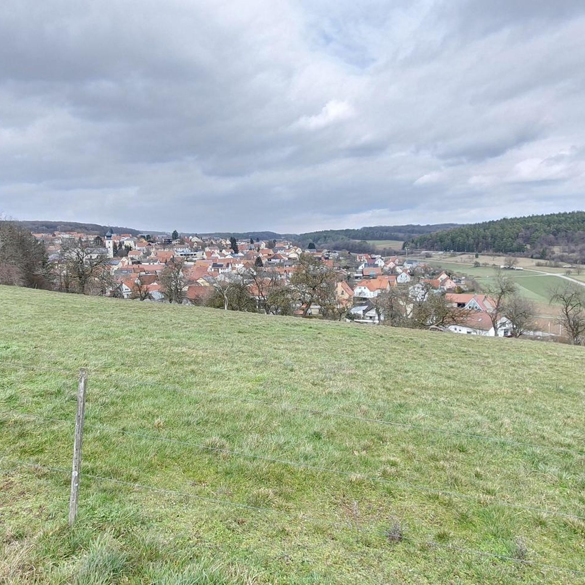
The running trails around Oerlenbach feature varied terrain, including agricultural fields, small woodlands, and water features like lakes and basins. You'll often encounter open views of the surrounding countryside and local landmarks, such as the wind turbines visible from some routes.
How many jogging routes are available in the Oerlenbach area?
There are over 60 jogging routes available around Oerlenbach, catering to various fitness levels. This includes 11 easy, 50 moderate, and 6 difficult trails.
What do other runners enjoy most about jogging in Oerlenbach?
The running routes in Oerlenbach are highly rated by the komoot community, with an average score of 4.6 stars from over 60 reviews. Runners often praise the varied terrain, the mix of open fields and woodlands, and the accessibility of routes for different ability levels.
Are there any running routes that pass by interesting landmarks or viewpoints?
Yes, several routes offer points of interest. The Terzenbrunn Chapel – View of the Wind Turbines loop from Oerlenbach provides open views of the landscape and wind turbines. Another route, Kneipp Basin Ebenhausen – Bockhaus loop from Ebenhausen (Unterfr), features water elements at the Kneipp Basin.
Are there any longer or more challenging running routes for experienced runners?
For experienced runners seeking a challenge, Oerlenbach offers more demanding routes. The View of Saalestück, Franconia – Wittelsbacher Tower loop from Ebenhausen (Unterfr) is a difficult 9.8-mile (15.8 km) route with significant elevation changes.
What is the best time of year for running in Oerlenbach?
The moderate elevation changes and varied terrain make Oerlenbach suitable for running throughout much of the year. Spring and autumn offer pleasant temperatures and vibrant scenery. Even in winter, many trails remain accessible, though conditions may vary.
Are there running routes in Oerlenbach that feature water elements?
Yes, some routes incorporate water features. The Kneipp Basin Ebenhausen – Bockhaus loop from Ebenhausen (Unterfr) passes by the Kneipp Basin. Additionally, the Fishing club fish farming lake – Long Ascent and Descent loop from Oerlenbach leads through areas with water bodies.
How long do the running routes in Oerlenbach typically take to complete?
The duration of running routes in Oerlenbach varies depending on the distance and your pace. For instance, the Terzenbrunn Chapel – View of the Wind Turbines loop from Oerlenbach typically takes about 45 minutes, while the longer Kneipp Basin Ebenhausen – Bockhaus loop from Ebenhausen (Unterfr) can take around 1 hour 15 minutes.
Are there any running routes near Oerlenbach that are particularly scenic?
Many routes offer scenic views of the Franconian countryside. The Terzenbrunn Chapel – View of the Wind Turbines loop from Oerlenbach is known for its open landscape views. The region's mix of fields, forests, and water features ensures diverse and pleasant scenery on most trails.
Most popular routes around Oerlenbach
Most popular attractions around Oerlenbach

Get inspired with the komoot mobile app


Explore more
Browse the best Running Trails & Routes in other regions.
