The best mountain hikes in Landkreis Bad Kissingen
4.8
(30)
142
hikers
17
hikes
Mountaineering routes in Landkreis Bad Kissingen are situated in Lower Franconia, characterized by rolling hills, extensive forests, and the Franconian Saale River. The region lies south of the Rhön Mountains, a low mountain range known for its basaltine hilltops and varied landscapes. This area offers diverse terrain for mountaineering, including challenging hikes to low mountain peaks and routes through ancient volcanic formations.
Best mountaineering routes in Landkreis Bad Kissingen
- The most popular mountaineering route is Lenzsteig Via Ferrata Entrance –…
Last updated: August 25, 2026
4.7
(3)
18
hikers
Hard mountaineering route. Great for any fitness level. Sure-footedness, sturdy shoes and alpine experience required.
4.5
(2)
13
hikers
Hard mountaineering route. Great for any fitness level. Sure-footedness, sturdy shoes and alpine experience required.

Sign up for free
5.0
(2)
6
hikers
13.6km
04:12
490m
490m
Moderate mountaineering route. Good fitness required. Easily-accessible paths. Suitable for all skill levels.
5.0
(3)
7
hikers
7.75km
02:27
290m
290m
Moderate mountaineering route. Good fitness required. Mostly accessible paths. Sure-footedness required.
1
hikers
7.31km
02:05
170m
170m
Moderate mountaineering route. Good fitness required. Easily-accessible paths. Suitable for all skill levels.
1
hikers
Hard mountaineering route. Great for any fitness level. Sure-footedness, sturdy shoes and alpine experience required.
5.0
(1)
3
hikers
4.18km
01:23
190m
190m
Moderate mountaineering route. Great for any fitness level. Mostly accessible paths. Sure-footedness required.
2
hikers
Moderate mountaineering route. Good fitness required. Easily-accessible paths. Suitable for all skill levels.
1
hikers
Moderate mountaineering route. Good fitness required. Mostly accessible paths. Sure-footedness required.
5.0
(2)
3
hikers
Moderate mountaineering route. Great for any fitness level. Mostly accessible paths. Sure-footedness required.
Get access to more routes and recommendations from other explorers.
Sign up for free
Already have an account?
Our route recommendations are based on thousands of hikes, rides, and runs completed by other people on komoot.
Start today with a free account
Your next adventure awaits.
Login or Signup
Popular around Landkreis Bad Kissingen
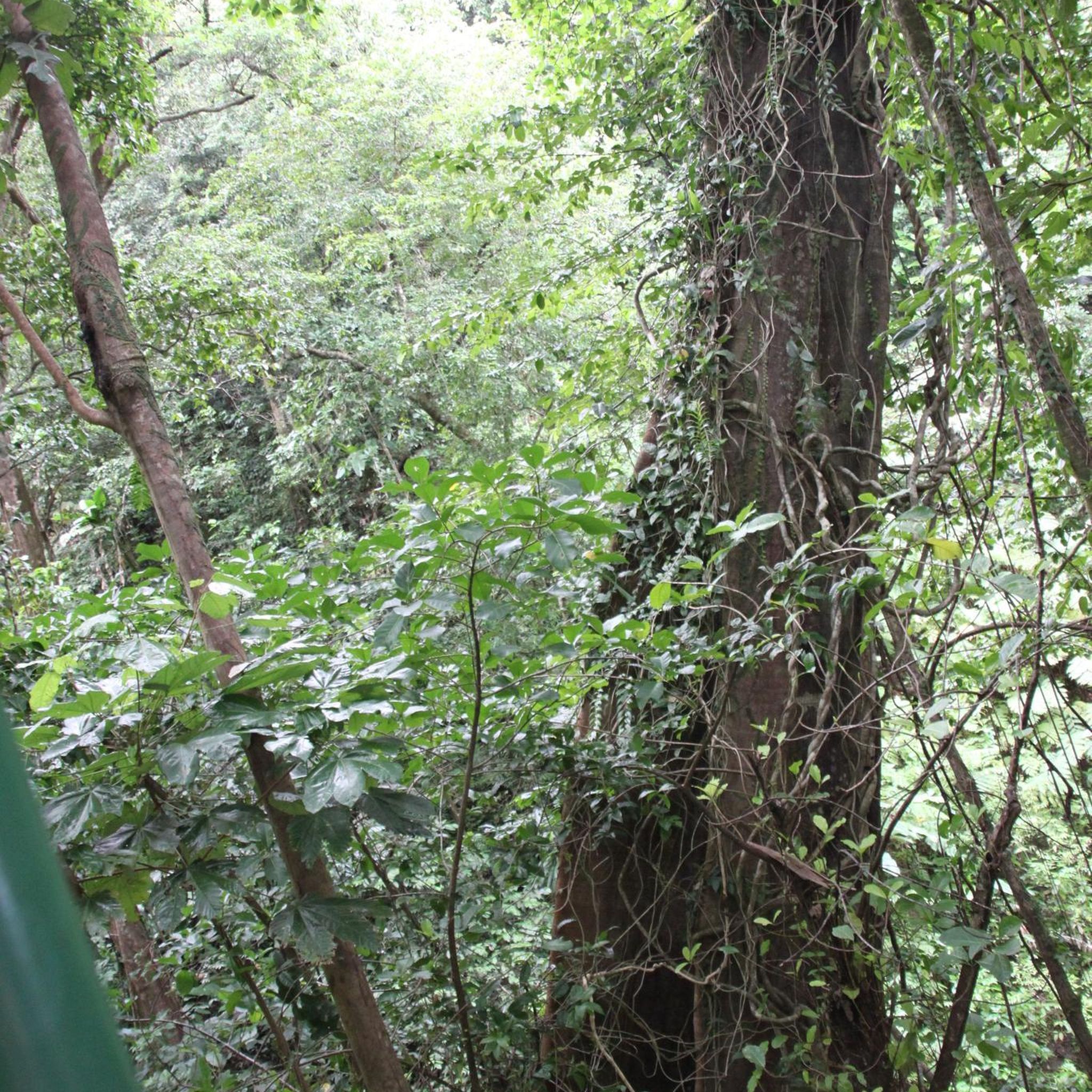
Mountain Hikes around Hammelburg

Mountain Hikes around Wildflecken

Mountain Hikes around Burkardroth

Mountain Hikes around Riedenberg

Mountain Hikes in Schwarze Berge

Mountain Hikes around Bad Bocklet
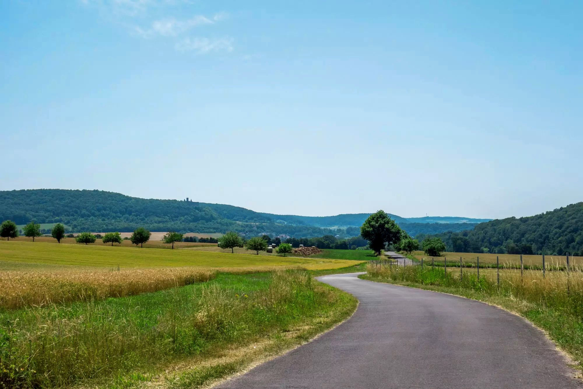
Rhön Cycleway in Germany – Cycling in the Land of Open Distances

Stages of the HOCHRHÖNER Premium Hiking Trail

The National Natural Landscapes in Hessen

The National Natural Landscapes in Bavaria
Other adventures in Landkreis Bad Kissingen


Tips from the Community

Worldwide unique ecosystem of calcareous grasslands in Mainfranken. Very interesting information boards
0
0

Candle chapel opposite the monastery church, in autumn / winter you can also warm up nicely here 😉
0
0

A beautiful via ferrata with a view.
0
0

Very worthwhile to walk there - beautiful view from the tower.
0
0
The longest via ferrata in the area.
3
0
A parking space for cars 🚗 is also available.
2
1
Above the Lenzsteig.
1
0

Open on Sundays and occasionally on public holidays... but not during the winter months. Outside, you'll find a self-service refrigerator with a small drinks counter... Seating is available under cover.
1
1
Frequently Asked Questions
What kind of terrain can I expect on mountaineering routes in Landkreis Bad Kissingen?
Mountaineering in Landkreis Bad Kissingen offers a diverse landscape, characterized by rolling hills, extensive forests, and the picturesque Franconian Saale River. The region is situated south of the Rhön Mountains, a low mountain range known for its basaltine hilltops of ancient volcanic origin, vast meadows, and woodlands. You'll encounter varied paths, from gentle ascents through forests to more challenging sections, including via ferratas and routes leading to rewarding low mountain peaks.
How many mountaineering routes are available in Landkreis Bad Kissingen?
There are 19 distinct mountaineering routes available in Landkreis Bad Kissingen, catering to various skill levels. These include 1 easy route, 15 moderate routes, and 3 difficult routes, ensuring there's a suitable option for most mountaineers.
Are there any family-friendly mountaineering routes in the area?
While many routes offer a robust hiking experience, some are more accessible for families. For a moderate option that provides a good introduction to the region's beauty, consider the Marienbrünnlein – Kreuzberg Summit loop from Unterweißenbrunn. This 8.5-mile route takes you through the scenic Rhön Mountains and is generally completed in about 4 hours, offering a rewarding experience for active families.
What are some of the more challenging mountaineering routes in Landkreis Bad Kissingen?
For those seeking a more challenging experience, Landkreis Bad Kissingen offers routes with technical sections. The Lenzsteig Via Ferrata Entrance – Lenzsteig via ferrata loop from Grainberg-Kalbenstein und Saupurzel is a difficult 1.8-mile path that includes a via ferrata section, providing a thrilling ascent. Another difficult option is the Lenzsteig via ferrata – Lourdes Grotto Gambach loop from Gambacher Markung, which covers 4 miles and also features a via ferrata.
Are there any circular mountaineering routes in Landkreis Bad Kissingen?
Yes, many of the mountaineering routes in Landkreis Bad Kissingen are designed as loops, allowing you to start and end at the same point. A popular moderate circular route is the Lenzsteig Via Ferrata Entrance – Lenzsteig via ferrata loop from Gambacher Markung, which is 2.8 miles long and includes a via ferrata section. Another great loop is the Pfertskopf loop from Wasserkuppe, a 4.7-mile moderate trail.
What do other mountaineers enjoy most about the routes in Landkreis Bad Kissingen?
The mountaineering routes in Landkreis Bad Kissingen are highly rated by the komoot community, with an average score of 4.9 stars from over 20 reviews. Mountaineers often praise the region's varied terrain, the well-maintained paths, and the unique experience of routes that combine robust hiking with technical sections like via ferratas, all set within the beautiful, unspoiled landscape of the Rhön Mountains.
Are there any notable viewpoints or landmarks along the mountaineering trails?
Yes, the region offers several rewarding viewpoints and natural features. The Rhön Mountains themselves are known for their basaltine hilltops and panoramic vistas. Specific peaks like the Platzer Kuppe offer beautiful all-round views, while the Mottener Haube features an observation tower for brilliant panoramic views after a steep climb. You can also find historic sites like the Burgruine Botenlauben (castle ruins) which provides magnificent views over the surrounding spa landscape.
Can I find routes that lead to specific summits or peaks?
Absolutely. While not alpine mountaineering, the region offers robust hikes to low mountain peaks. For example, the View from the summit of Kreuzberg – Kreuzberg Monastery loop from Bischofsheim in der Rhön is a moderate 4.4-mile route that takes you to the summit of Kreuzberg, offering rewarding views and the chance to visit the historic monastery.
Are there any natural attractions like caves or lakes near the mountaineering routes?
Yes, Landkreis Bad Kissingen is home to interesting natural attractions. You can explore fascinating geological formations such as the Wichtelhöhlen Rock Formations or the Hammelburg Gnome Caves. For those who enjoy water features, there are several lakes in the vicinity, including the unique Basalt Lake Tintenfass and the Heiligkreuz Fish Ponds.
Are there any shorter mountaineering routes for a quick outing?
If you're looking for a shorter, yet engaging, mountaineering experience, the Faltes Hut – Lenzsteig Via Ferrata Entrance loop from Grainberg-Kalbenstein und Saupurzel is a moderate 2.6-mile route that can be completed in about 1 hour 20 minutes. It offers a taste of the region's terrain without requiring a full day.
What is the longest mountaineering route available in Landkreis Bad Kissingen?
The longest mountaineering route featured in this guide is the Marienbrünnlein – Kreuzberg Summit loop from Unterweißenbrunn. This moderate trail spans 8.5 miles (13.6 km) and typically takes around 4 hours and 12 minutes to complete, offering an extensive exploration of the Rhön Mountains.
Most popular routes in Landkreis Bad Kissingen
Most popular attractions in Landkreis Bad Kissingen

Get inspired with the komoot mobile app


Didn’t find what you were looking for?
Check out more Mountain Hikes & Routes throughout Landkreis Bad Kissingen below and find the perfect route in your destination.
Explore more
Browse the best Mountain Hikes & Routes in other regions.
