The best mountain hikes around Ruhmannsfelden
4.9
(5)
85
hikers
16
hikes
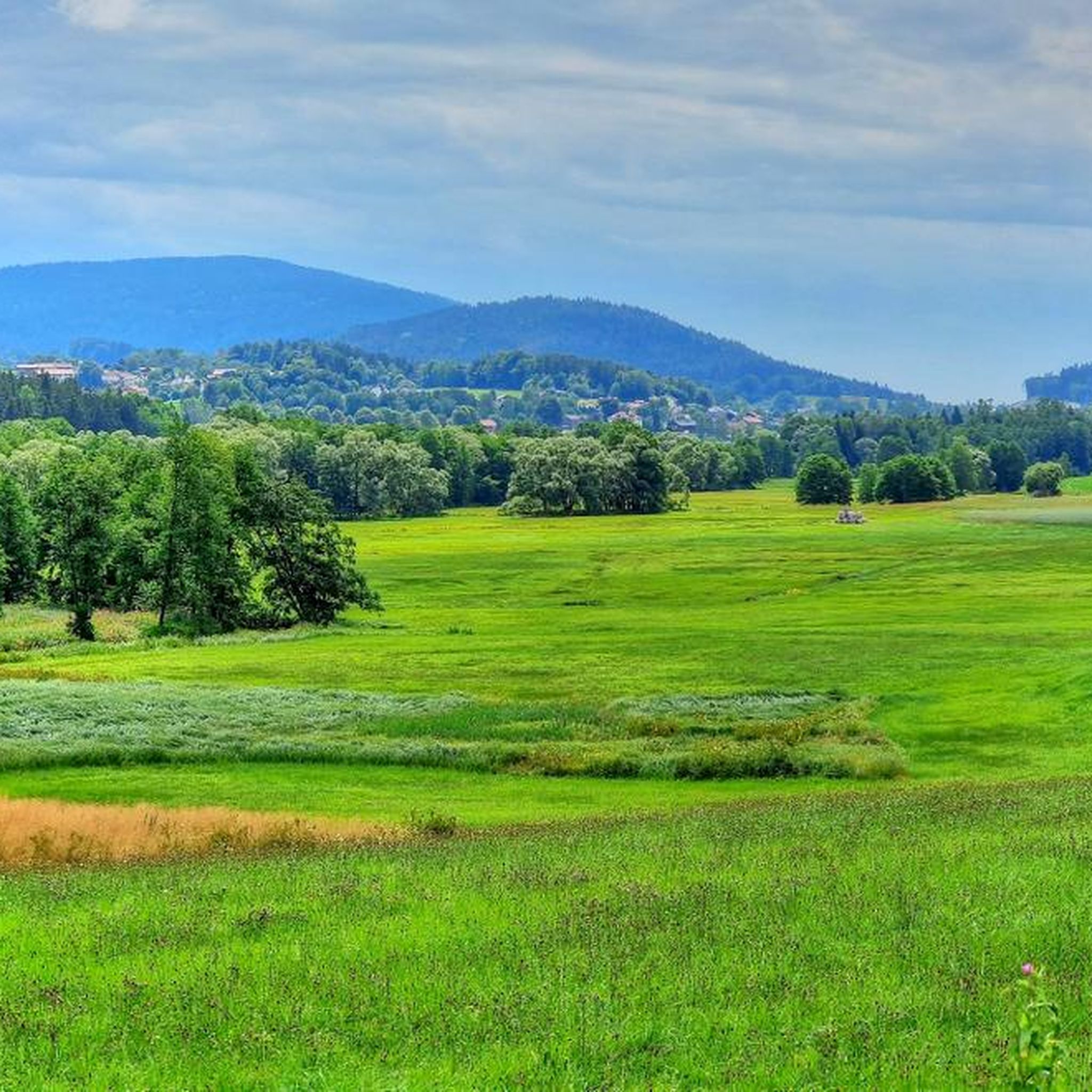
Mountaineering routes around Ruhmannsfelden are situated within the Naturpark Bayerischer Wald, characterized by dense woodlands, rolling hills, and prominent summit crosses. The terrain features varied elevations, offering both gradual ascents and more challenging climbs. This region provides a network of trails that navigate through forested areas and lead to scenic viewpoints.
Best mountaineering routes around Ruhmannsfelden
- The most popular mountaineering route is Klausenstein Summit Cross – Hirschenstein loop from Naturpark Bayerischer Wald, a 5.9 miles (9.4 km) trail that…
Last updated: October 9, 2026
8
hikers
Moderate mountaineering route. Good fitness required. Mostly accessible paths. Sure-footedness required.
5.0
(1)
8
hikers
Moderate mountaineering route. Great for any fitness level. Mostly accessible paths. Sure-footedness required.

7
hikers
Hard mountaineering route. Good fitness required. Sure-footedness, sturdy shoes and alpine experience required.
6
hikers
Moderate mountaineering route. Good fitness required. Easily-accessible paths. Suitable for all skill levels.
4.5
(2)
4
hikers
11.7km
04:12
660m
660m
Moderate mountaineering route. Good fitness required. Mostly accessible paths. Sure-footedness required.
Get access to more routes and recommendations from other explorers.
Already have an account?
Our route recommendations are based on thousands of hikes, rides, and runs completed by other people on komoot.
Start today with a free account
Your next adventure awaits.
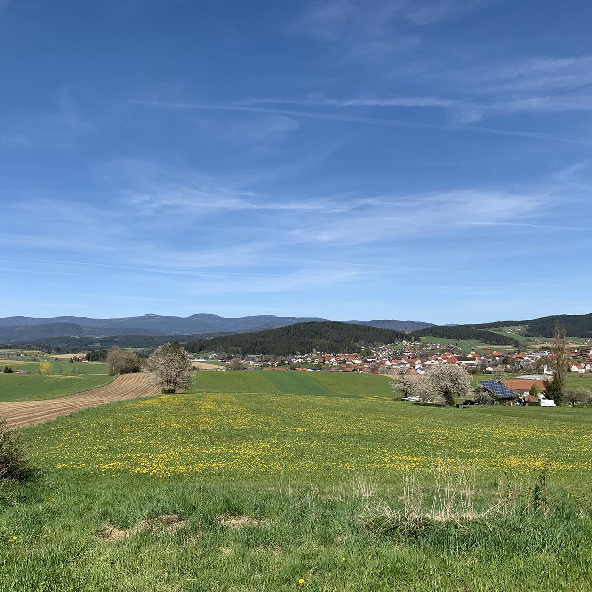
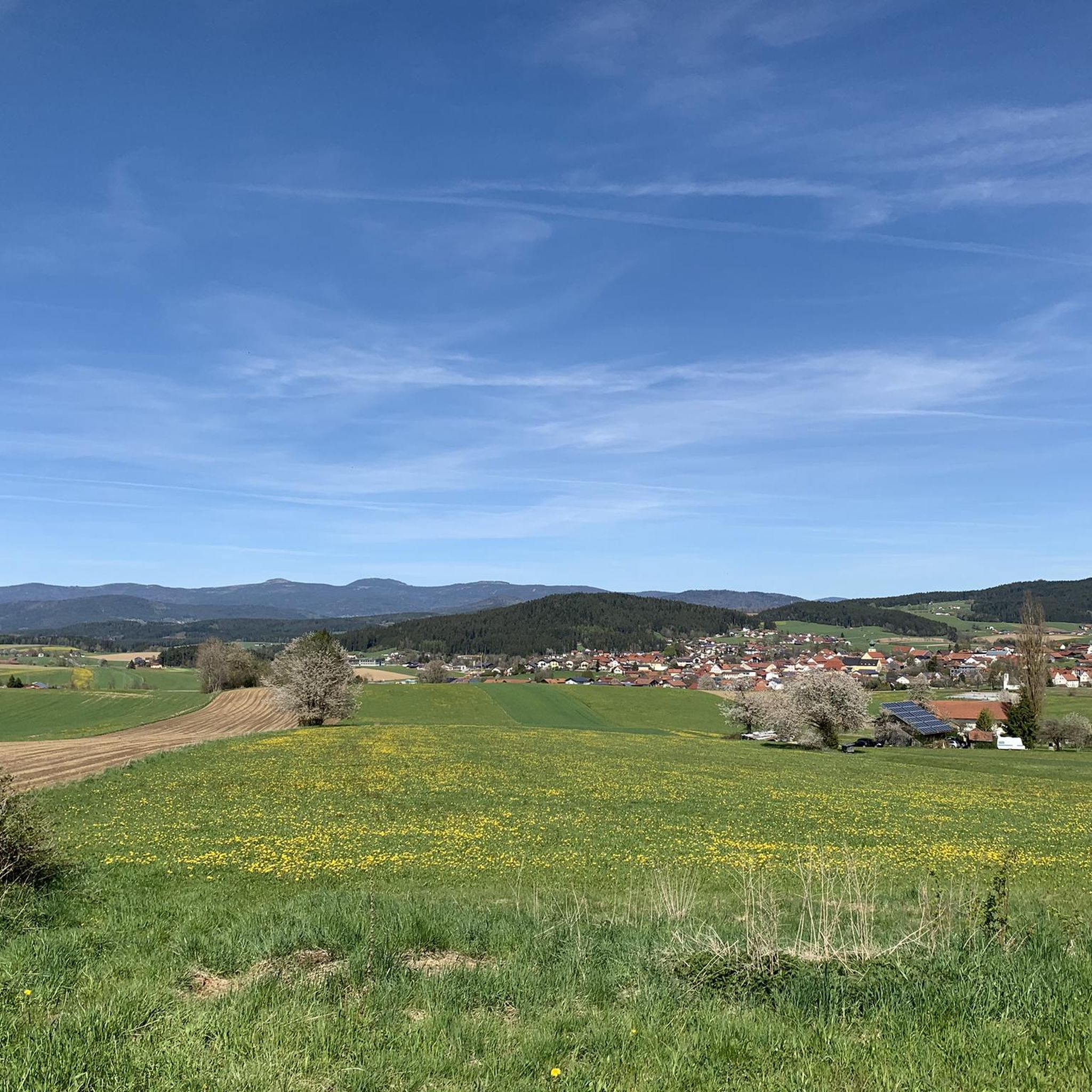
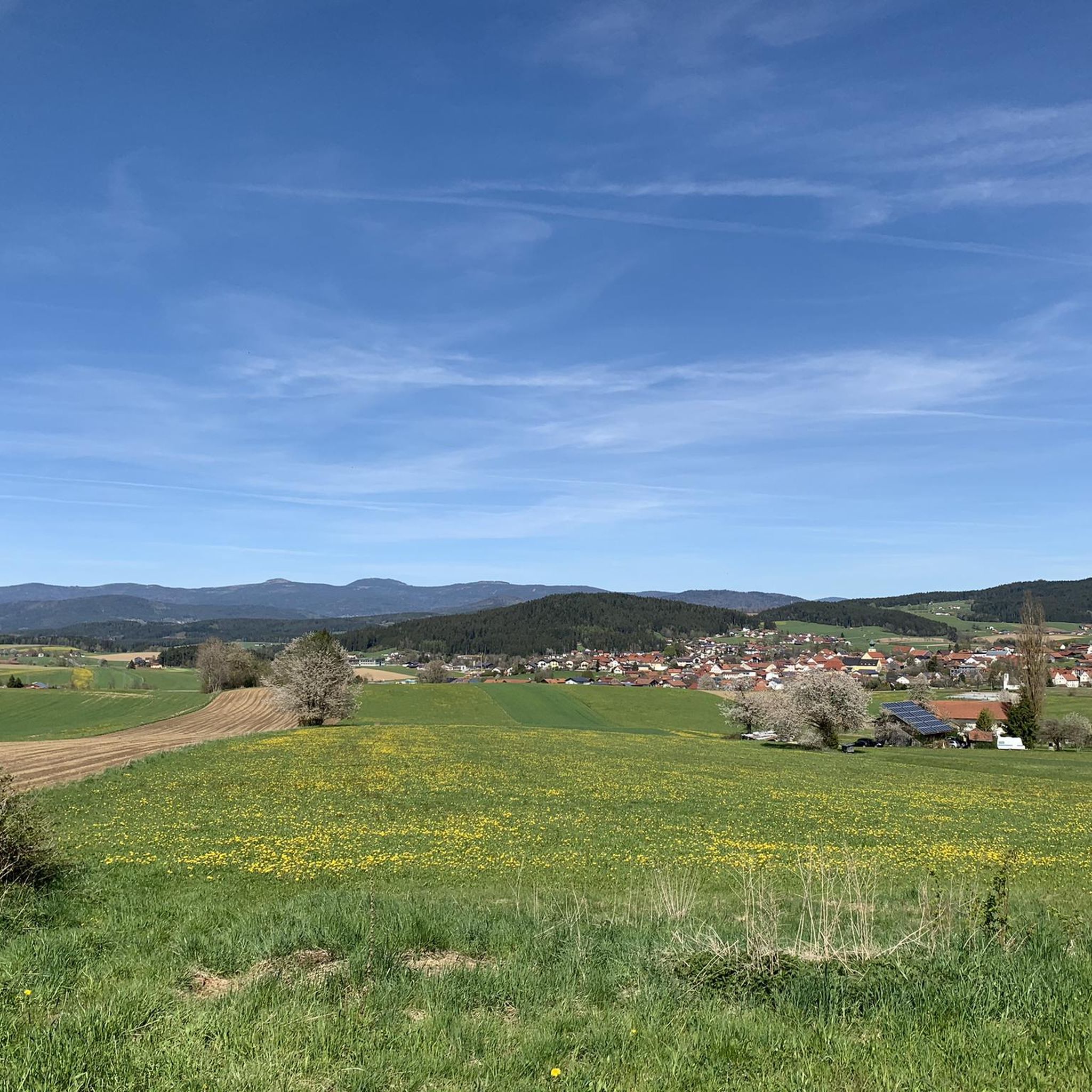
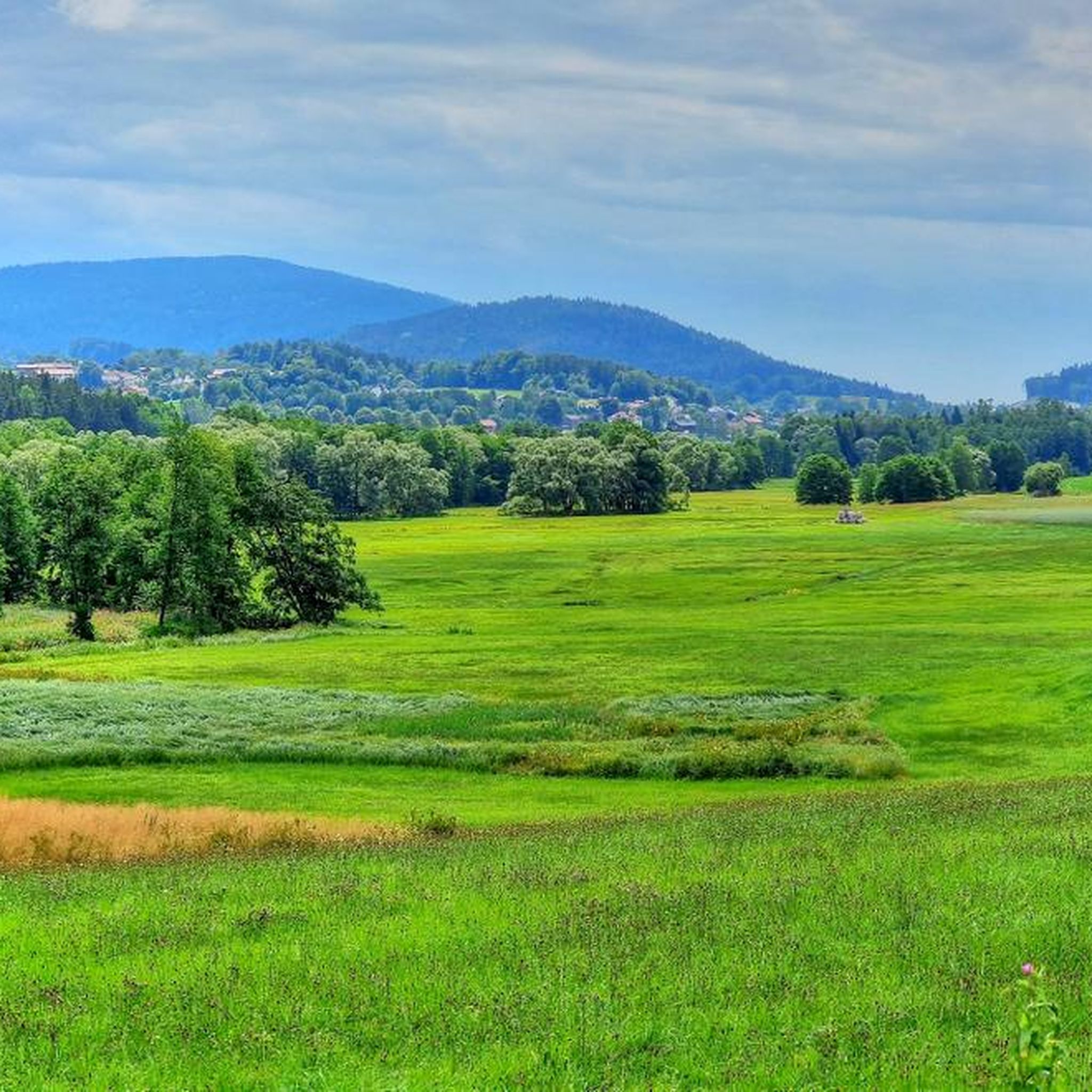

Tips from the Community

Böbracher Wasserfall was a real highlight. I liked it very much.
0
0

Beautiful viewpoint with a view into the Danube plain.
1
0


In winter, Kalteck was a local ski resort with two drag lifts operating on three ski slopes.
2
0
Small "rocky" shelter between Rauhen Kulm and Klausenstein.
3
0


If the weather is good, there is a great view of the region. Partly steep climb from Böbrach.
0
0
There is a bench right next to the waterfall where you can rest and listen to the water ;)
0
0
Frequently Asked Questions
How many mountaineering routes are available around Ruhmannsfelden?
There are 17 mountaineering routes around Ruhmannsfelden, offering a variety of experiences within the Naturpark Bayerischer Wald. Most of these are moderate, with a couple of more challenging options for experienced mountaineers.
Are there any easy mountaineering routes suitable for beginners in Ruhmannsfelden?
The mountaineering routes around Ruhmannsfelden are generally rated as moderate or difficult. There are no routes specifically categorized as 'easy' in this area, so beginners should choose moderate trails carefully and be prepared for varied terrain and elevations.
What are some challenging mountaineering trails near Ruhmannsfelden?
For those seeking a challenge, the Klausenstein Summit Cross – Burgstein summit cross loop from Naturpark Bayerischer Wald is a difficult 7.2 km trail that takes about 2 hours 17 minutes to complete. This route offers a more demanding experience through forested slopes.
Are there family-friendly mountaineering routes in the Ruhmannsfelden area?
While there are no routes specifically labeled 'easy' for very young children, many of the moderate trails can be suitable for families with older, active children. The Kalteck Ski Lift – Rauher Kulm Viewpoint loop from Naturpark Bayerischer Wald, at 5.5 km, offers panoramic views and might be a good option for families looking for a rewarding moderate hike.
Can I bring my dog on the mountaineering routes around Ruhmannsfelden?
The trails in the Naturpark Bayerischer Wald are generally dog-friendly, but it's always recommended to keep your dog on a leash, especially in forested areas and near wildlife. Ensure your dog is fit enough for the chosen route, as most trails are moderate to difficult.
Are there circular mountaineering routes available in Ruhmannsfelden?
Yes, many of the mountaineering routes around Ruhmannsfelden are circular, allowing you to start and end at the same point. Examples include the Klausenstein Summit Cross – Hirschenstein loop from Naturpark Bayerischer Wald and the Geißkopf Observation Tower – Geißkopf Summit and Bike Park loop from Einödriegel.
What are the best times of year for mountaineering in Ruhmannsfelden?
The best time for mountaineering in Ruhmannsfelden is typically from late spring to early autumn (May to October) when the weather is milder and trails are clear of snow. During winter, conditions can be challenging with snow and ice, requiring appropriate gear and experience.
What kind of scenic viewpoints can I expect on the trails?
The mountaineering routes in Ruhmannsfelden often lead to rewarding viewpoints. You can enjoy panoramic vistas from locations like Hirschenstein or the Rauher Kulm Viewpoint. Many trails also feature prominent summit crosses, such as the Klausenstein Summit Cross and the Knogl summit cross.
Are there any places to explore or attractions near the mountaineering routes?
Yes, the region offers several interesting spots. You can find tranquil bodies of water like Grimmeisen Pond or Eisenweiher Pond. For a historical touch, explore the Wagner Quarry Ruins. There's also the Schuhfleck Shelter, which can be a good resting point on longer tours like the Hirschenstein – Schuhfleck Shelter loop from Böbrach.
What do other mountaineers enjoy most about the routes in Ruhmannsfelden?
The komoot community highly rates the mountaineering routes around Ruhmannsfelden, with an average score of 5.0 stars. Mountaineers often praise the dense woodlands, the rewarding summit crosses, and the diverse viewpoints that offer stunning vistas of the Bavarian Forest landscape.
Is public transport available to access the mountaineering trails?
While Ruhmannsfelden itself has some public transport connections, direct access to all trailheads by public transport can be limited in the Naturpark Bayerischer Wald. It's advisable to check local bus schedules or consider driving to the starting points, as many routes begin from parking areas.
Where can I find parking for the mountaineering trails?
Most trailheads for mountaineering routes around Ruhmannsfelden have designated parking areas. For example, routes like the Kalteck Ski Lift – Rauher Kulm Viewpoint loop often start near facilities or specific parking spots. It's recommended to check the individual tour details on komoot for specific parking information for your chosen route.
Most popular routes around Ruhmannsfelden
Most popular attractions around Ruhmannsfelden

Get inspired with the komoot mobile app


Explore more
Browse the best Mountain Hikes & Routes in other regions.
