The best road cycling routes around Agolagh
5.0
(1)
390
riders
29
rides
Road cycling routes around Agolagh traverse the diverse landscapes of Northern Ireland's Omagh and Sperrins Region. The area features tranquil rural roads, offering a mix of gentle terrain and more challenging ascents. Cyclists can expect to encounter varied topography, from rolling hills to the edges of larger mountain ranges, providing a range of elevation gains. The region's natural environment includes expansive loughs and green valleys, suitable for different road cycling experiences.
Best road cycling routes around Agolagh
- The most popular…
Last updated: May 17, 2026
24
riders
59.2km
02:46
700m
700m
Moderate road ride. Good fitness required. Some segments of this route may be unpaved and difficult to ride.
22
riders
60.7km
02:50
660m
660m
Moderate road ride. Good fitness required. Mostly well-paved surfaces and easy to ride.

Sign up for free
15
riders
24.9km
01:05
170m
170m
Moderate road ride. Great for any fitness level. Some segments of this route may be unpaved and difficult to ride.
9
riders
24.4km
01:13
320m
320m
Moderate road ride. Good fitness required. Some segments of this route may be unpaved and difficult to ride.
12
riders
60.4km
03:29
1,340m
1,340m
Hard road ride. Very good fitness required. Some segments of this route may be unpaved and difficult to ride.
Get access to more routes and recommendations from other explorers.
Sign up for free
Already have an account?
Our route recommendations are based on thousands of hikes, rides, and runs completed by other people on komoot.
Start today with a free account
Your next adventure awaits.
Login or Signup
Popular around Agolagh
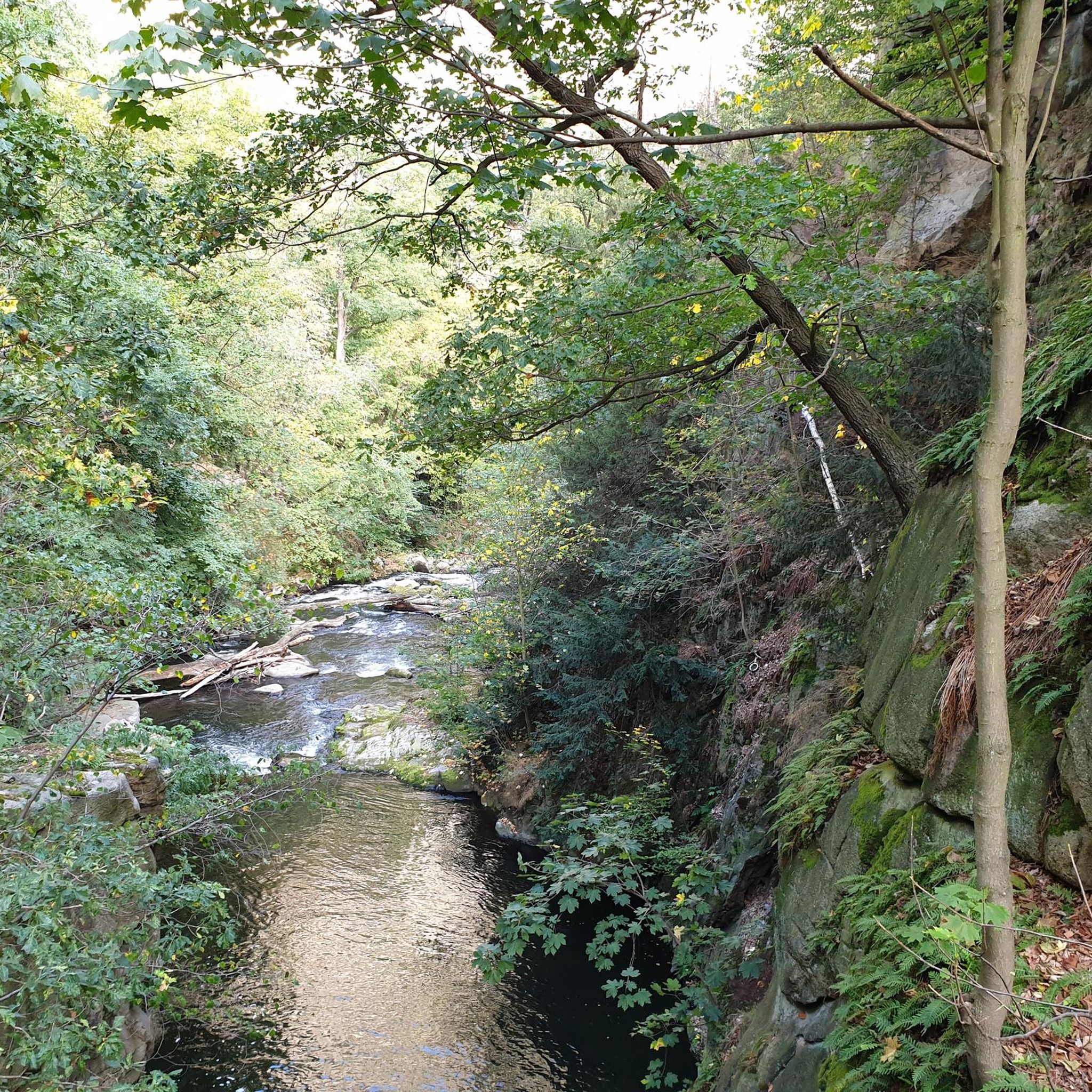
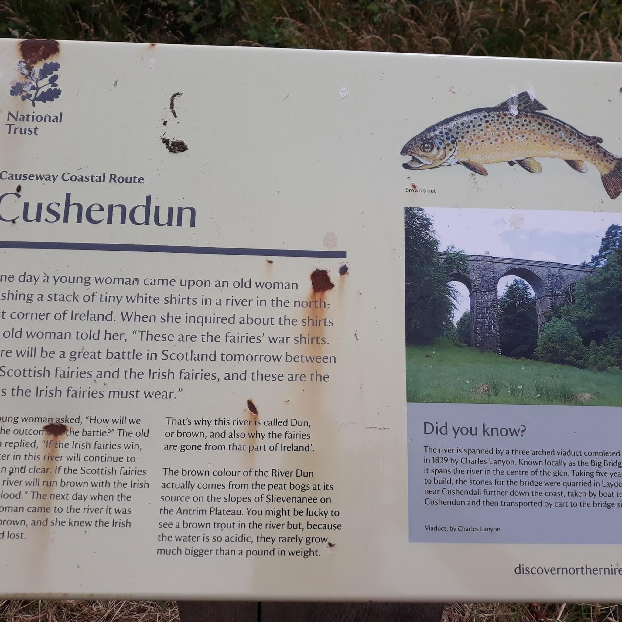
Tips from the Community

A very nice little place. The free car park is very central and spacious. The entrance height is stated as 1.95m. In our case, the height bar was set aside and therefore open.
1
0

For walkers, Waterfoot is a pleasant alternative to the main road, as it passes close to the beach and behind the dunes, with beautiful views and no traffic.
1
0
Nice harbour, with ferries to Rathlin Island (opposite, half an hour away) that leave every hour. Lots of ice cream shops nearby and a nice park, very relaxing area.
0
0

An old-fashioned marina in a fishing village. An idyllic place to stop during the long walk on this stretch of the CCR.
2
0

Ballycastle is a charming coastal town located in Northern Ireland. The colourful town is a perfect blend of natural beauty and rich history and displays some gorgeous coastal views out to Rathlin Island and Irish Sea.
3
0
Beautiful little harbour located in the seaside village of Cushendun. The Mary McBrides across the road from here sells delicious food and real ales. There is also a café and convenience store nearby where you can pick up some snacks and take a respite on the sandy shore nearby.
2
0

The Round Tower was built as a freestanding bell towe in the 11th or 12th century.
1
0

Especially nice and interesting at low tide
0
2
Frequently Asked Questions
How many road cycling routes are available around Agolagh?
There are over 30 road cycling routes available around Agolagh on komoot. These routes cater to various fitness levels, from easy loops to more challenging rides with significant elevation gain.
What are the difficulty levels of road cycling routes in Agolagh?
The routes around Agolagh offer a range of difficulty levels. You'll find 2 easy routes, 17 moderate routes, and 11 difficult routes, ensuring options for both casual riders and experienced cyclists seeking a challenge.
What kind of landscapes can I expect to see while road cycling around Agolagh?
Road cycling around Agolagh takes you through the diverse landscapes of Northern Ireland's Omagh and Sperrins Region. Expect tranquil rural roads, rolling hills, and proximity to larger natural features like the Sperrins Mountain Range and Lough Neagh. The area offers a mix of gentle terrain and more challenging ascents, with expansive loughs and green valleys.
What landmarks or viewpoints can I discover along the road cycling routes?
Many routes offer scenic points of interest. For example, you might encounter the dramatic Torr Head Coastal Road, the ancient Cushendun Caves, or the picturesque Cushendun Harbour. The Waterfoot Beach and the historic Hidden Village of Galboly are also notable sights.
Are there any natural features to explore near the cycling routes?
Absolutely. The region is rich in natural beauty. You'll be cycling near the vast Sperrins Mountain Range, the largest in Ireland, offering a blend of peaks, forests, and moors. Other notable features include the tranquil Gortin Glens, the expansive Lough Neagh, and the scenic Blackwater Valley with its green hills and lush forests.
What is the best time of year for road cycling in Agolagh?
The best time for road cycling in Agolagh is generally from spring through autumn, when the weather is milder and more predictable. Summer offers the longest daylight hours, while spring and autumn provide beautiful scenery with fewer crowds. Always check local weather forecasts before heading out.
Are there options for beginner road cyclists in Agolagh?
Yes, there are routes suitable for beginners. While many routes are moderate, you can find easier options like the 28.2-mile Omagh to Carrickmore loop, which has manageable elevation gain and is suitable for all fitness levels. For a shorter, moderate ride, consider the Waterfoot Beach – Waterfoot Beach Boardwalk loop from Cushendall.
Are there challenging routes for experienced road cyclists?
Experienced road cyclists will find plenty of challenging options. The region offers routes requiring good to very good fitness, with some featuring over 3,000 feet of elevation gain. These can include varied terrain and longer distances, such as the Cushendun Village – Ballycastle Beach loop from Cushendun, which includes significant climbs.
Can I find places to eat or stay near the cycling routes?
Yes, the wider Omagh and Sperrins Region, including areas around Agolagh, offers various amenities. You'll find cafes, pubs, and accommodation options in towns and villages along or near popular cycling routes. It's advisable to plan your stops in advance, especially in more rural areas.
Is public transport or parking available for accessing the routes?
Access to routes typically involves local roads. While specific public transport links directly to trailheads might be limited in very rural areas, towns like Omagh offer transport hubs. Parking is generally available in towns and at designated visitor centers or attractions, which can serve as starting points for your rides.
Are there any circular road cycling routes in Agolagh?
Many of the road cycling routes around Agolagh are designed as loops, allowing you to start and finish at the same point. Examples include the popular Cushendun Harbour – Carnlough Harbour loop from Cushendun and the Glenariff Descent – Waterfoot Beach loop from Cushendall.
What do other cyclists enjoy the most about road cycling in Agolagh?
The area is highly rated by the komoot community, with an average score of 5.0 stars. Cyclists often praise the tranquil rural roads, the diverse landscapes ranging from rolling hills to coastal views, and the variety of routes that cater to different fitness levels. The natural beauty of the Sperrins and Lough Neagh regions is frequently highlighted.
Are there family-friendly cycling options, even if not strictly road cycling?
While many road cycling routes are on public roads, the broader region offers family-friendly, traffic-free paths. For instance, Craigavon Lakes provides ideal cycling paths, including some single-track gravel options. Lurgan Park Lake also features a lovely path suitable for family cycling and walking.
Most popular routes around Agolagh
Most popular attractions around Agolagh

Get inspired with the komoot mobile app


Explore more
Browse the best Road cycling routes in other regions.
