The best mountain hikes around Sankt Aegidi
4.7
(3)
46
hikers
6
hikes
Mountaineering around Sankt Aegidi offers routes through the forested hills and along the Danube river valley in Upper Austria. The region features a mix of moderate ascents to local summits and paths providing views of the iconic Schlögener Schlinge. Terrain includes woodland trails and open sections, characteristic of the Mühlviertel landscape.
Best mountaineering routes around Sankt Aegidi
- The most popular mountaineering route is Schlögen Loop – Schlögen Loop loop from Schlögen, a 7.3 miles (11.8 km) trail that takes…
Last updated: July 2, 2026
5.0
(1)
14
hikers
11.8km
03:30
320m
320m
Moderate mountaineering route. Good fitness required. Easily-accessible paths. Suitable for all skill levels.
8
hikers
Moderate mountaineering route. Good fitness required. Easily-accessible paths. Suitable for all skill levels.

Sign up for free
4.0
(1)
10
hikers
3.66km
01:18
200m
200m
Easy mountaineering route. Great for any fitness level. Easily-accessible paths. Suitable for all skill levels.
7
hikers
9.76km
02:59
340m
350m
Moderate mountaineering route. Good fitness required. Easily-accessible paths. Suitable for all skill levels.
5.0
(1)
7
hikers
5.53km
01:40
170m
170m
Easy mountaineering route. Great for any fitness level. Easily-accessible paths. Suitable for all skill levels.
Our route recommendations are based on thousands of hikes, rides, and runs completed by other people on komoot.
Start today with a free account
Your next adventure awaits.
Login or Signup
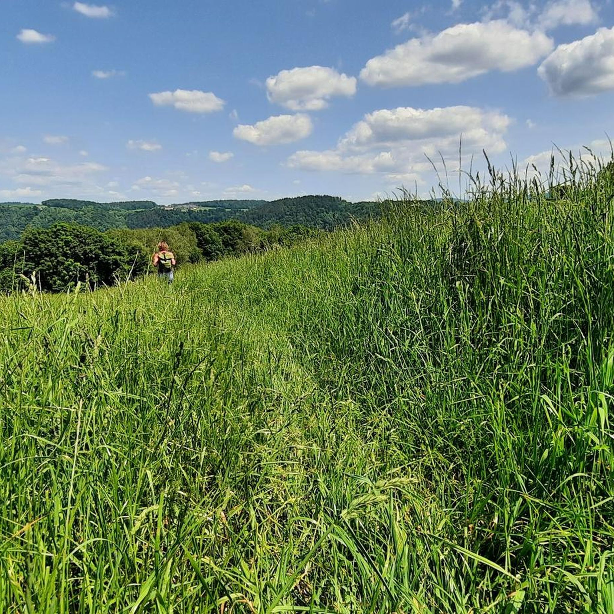
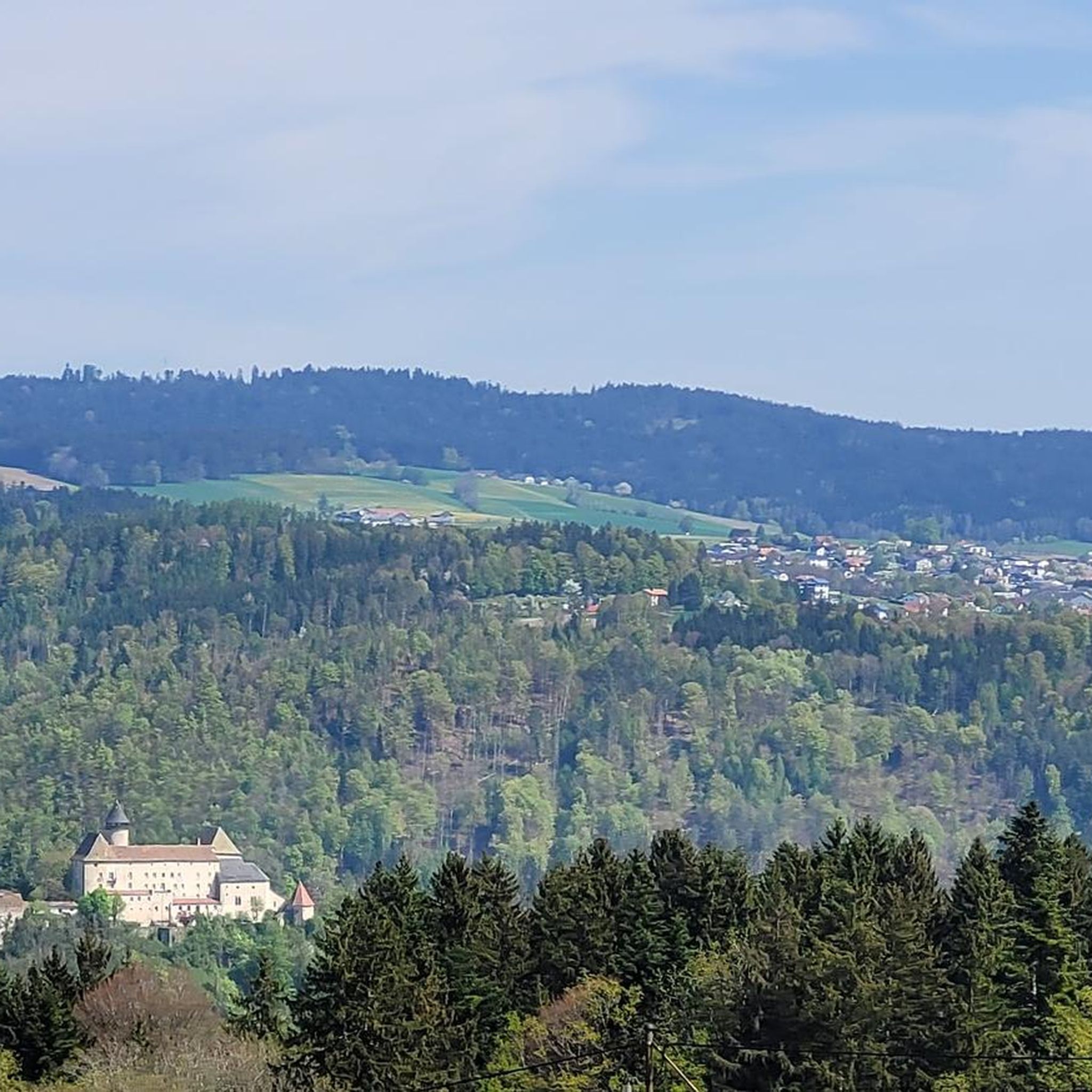
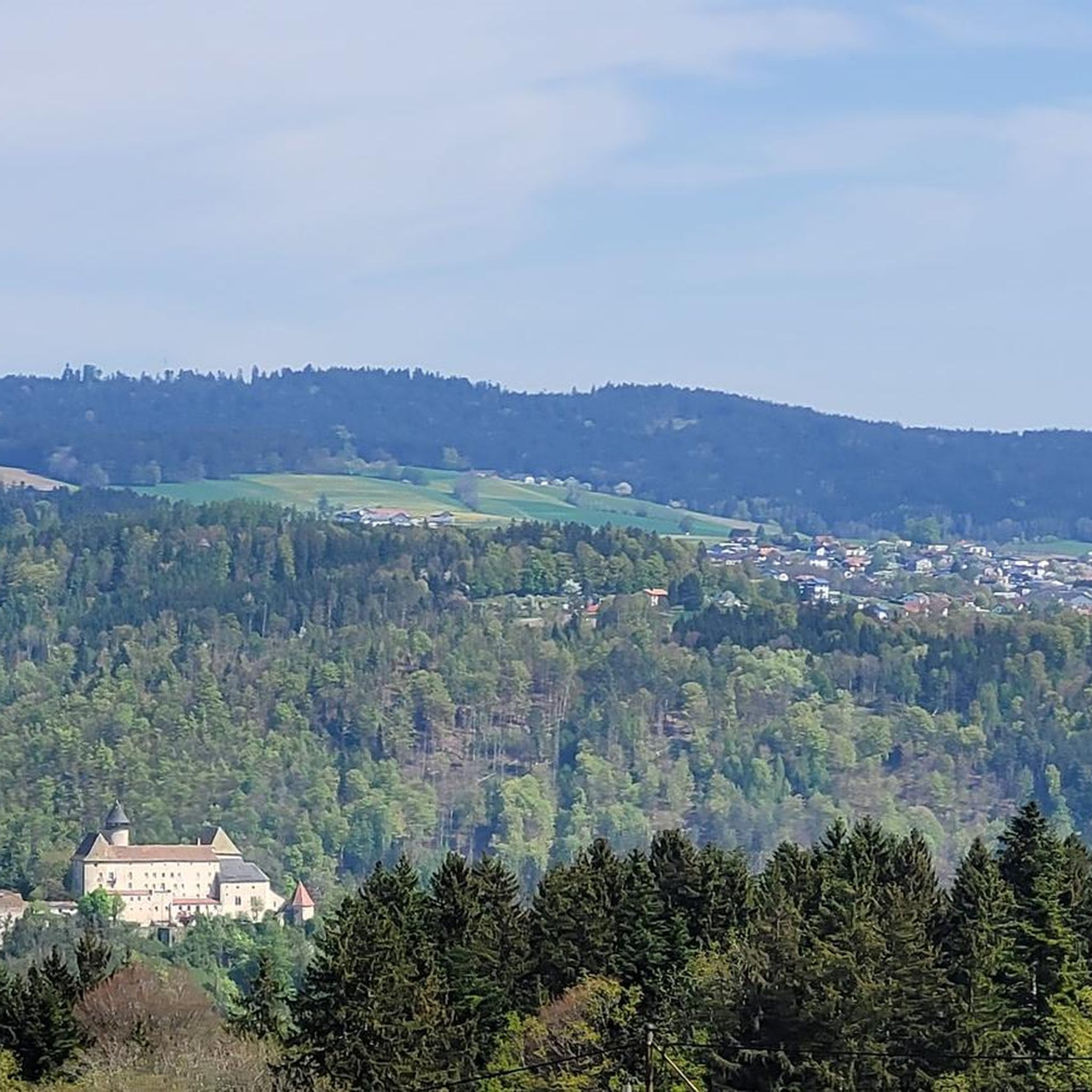
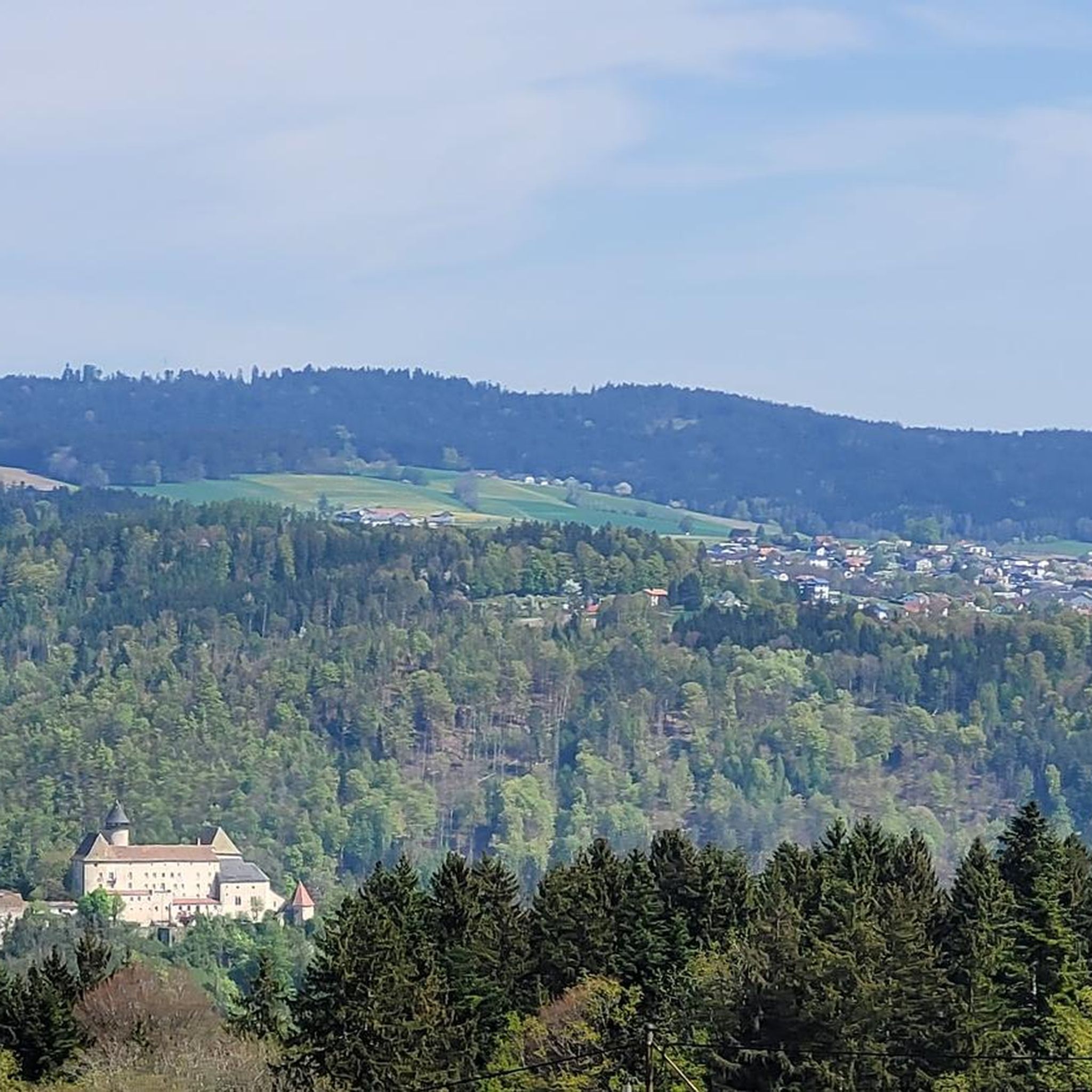

Tips from the Community

Maierhof viewpoint with panoramic views of Bavaria.
0
0

Beautiful viewpoint, from Inzell the path is partly quite steep and rocky.
1
0

Beautiful memorial in the middle of the forest
1
0

From here you can start many hikes.
1
0
The Steinerfelsen summit invites you to rest and enjoy the beautiful view of the Danube.
1
0

with a bell that you can operate yourself
1
0

This is one of the most famous photo spots on the Danube. Definitely worth a visit 😉.
2
0
Frequently Asked Questions
How many mountaineering routes are available around Sankt Aegidi?
There are currently 6 mountaineering routes documented around Sankt Aegidi on komoot, offering a variety of experiences through the forested hills and along the Danube river valley.
Are there easy mountaineering routes suitable for beginners or families in Sankt Aegidi?
Yes, Sankt Aegidi offers several easy routes perfect for beginners or families. For instance, the View of the Schlögener Loop loop from Schlögen is a shorter, easy trail taking about 1 hour 13 minutes. Another accessible option is the Chapel at Eidenberger Lusen – Bärnlochweg Shelter loop from Oberkappel, which is also rated easy.
What is the typical length and duration of mountaineering trails in Sankt Aegidi?
Mountaineering trails in Sankt Aegidi vary in length and duration. Easy routes can be as short as 2.1 miles (3.3 km) taking just over an hour, while moderate trails like the Schlögen Loop – Schlögen Loop loop from Schlögen extend to about 7.3 miles (11.8 km) and typically take around 3 hours 30 minutes to complete.
Are there any challenging mountaineering routes for experienced hikers in Sankt Aegidi?
The routes around Sankt Aegidi are primarily rated as easy to moderate. While there are no routes currently classified as difficult, the moderate trails, such as the Haugstein Summit (895 m) – Vichtenstein Castle loop from Engelhartszell an der Donau, offer significant elevation gain and distance, providing a good workout for experienced hikers.
When is the best time of year to go mountaineering in Sankt Aegidi?
The forested hills and river valley landscapes of Sankt Aegidi are generally enjoyable for mountaineering from spring through autumn. These seasons offer pleasant temperatures and vibrant scenery. While winter mountaineering is possible, conditions can be challenging with snow and ice, requiring appropriate gear and experience.
What can I see along the mountaineering routes in Sankt Aegidi?
Many routes offer stunning views of the Danube river, especially the iconic Schlögen Loop. You can also reach summits like Haugstein Summit (895 m), providing panoramic vistas of the surrounding Mühlviertel landscape. Other points of interest include Jochenstein rock island and various viewpoints.
Are there any circular mountaineering routes available?
Yes, many of the mountaineering routes in Sankt Aegidi are circular, allowing you to start and end at the same point. Examples include the popular Schlögen Loop – Schlögen Loop loop from Schlögen and the Vichtenstein Castle – Haugstein Summit (895 m) loop from Vichtenstein.
What do other mountaineers enjoy the most about mountaineering in Sankt Aegidi?
The area is highly rated by the komoot community, with an average score of 4.7 stars. Reviewers often praise the diverse landscape, combining forested trails with impressive views of the Danube, and the well-maintained paths that make for an enjoyable experience.
Are there any specific landmarks or points of interest to look out for?
Absolutely! Beyond the natural beauty, you can explore historical sites like Vichtenstein Castle, which is part of the Vichtenstein Castle – Haugstein Summit (895 m) loop. The Jochenstein rock island with its statue of Saint John of Nepomuk is another notable landmark along the Danube.
Do I need any special permits for mountaineering in Sankt Aegidi?
Generally, no special permits are required for mountaineering on the established trails around Sankt Aegidi. The routes are accessible to the public. However, always respect private property and local regulations, especially in protected areas.
Are there options for refreshments or places to eat near the trails?
While specific cafes or pubs directly on every trail are not detailed, the region around Sankt Aegidi and nearby towns along the Danube, such as Engelhartszell, offer various guesthouses and restaurants where you can find refreshments and local cuisine after your hike.
What kind of wildlife might I encounter on the trails?
The forested hills and riverbanks of the Mühlviertel region are home to diverse wildlife. You might spot various bird species, deer, and smaller forest animals. Maintaining a respectful distance and keeping noise levels down increases your chances of observing them in their natural habitat.
Most popular routes around Sankt Aegidi
Most popular attractions around Sankt Aegidi

Get inspired with the komoot mobile app


Explore more
Browse the best Mountain Hikes & Routes in other regions.
