The best road cycling routes around Clare Mountain
5.0
(1)
170
riders
26
rides
Road cycling around Clare Mountain offers diverse terrain, from tranquil rural roads to more challenging ascents. The region, part of County Clare, features the Slieve Bernagh Mountain Range, which includes Moylussa, the highest point in the county. Cyclists can expect routes traversing forest tracks, open bogland, and heather-covered slopes, with scenic views of Lough Derg. The landscape provides varied experiences for different ability levels.
Best road cycling routes around Clare Mountain
- The most popular road cycling route is Cushendun Village…
Last updated: June 29, 2026
22
riders
53.6km
02:47
930m
930m
Hard road ride. Very good fitness required. Some segments of this route may be unpaved and difficult to ride.
18
riders
83.7km
03:52
940m
940m
Hard road ride. Very good fitness required. Mostly well-paved surfaces and easy to ride.

Sign up for free
17
riders
41.9km
01:57
390m
390m
Moderate road ride. Good fitness required. Mostly well-paved surfaces and easy to ride.
16
riders
57.9km
02:46
740m
740m
Moderate road ride. Good fitness required. Mostly well-paved surfaces and easy to ride.
10
riders
84.3km
03:43
800m
800m
Moderate road ride. Good fitness required. Some segments of this route may be unpaved and difficult to ride.
Get access to more routes and recommendations from other explorers.
Sign up for free
Already have an account?
Our route recommendations are based on thousands of hikes, rides, and runs completed by other people on komoot.
Start today with a free account
Your next adventure awaits.
Login or Signup
Popular around Clare Mountain
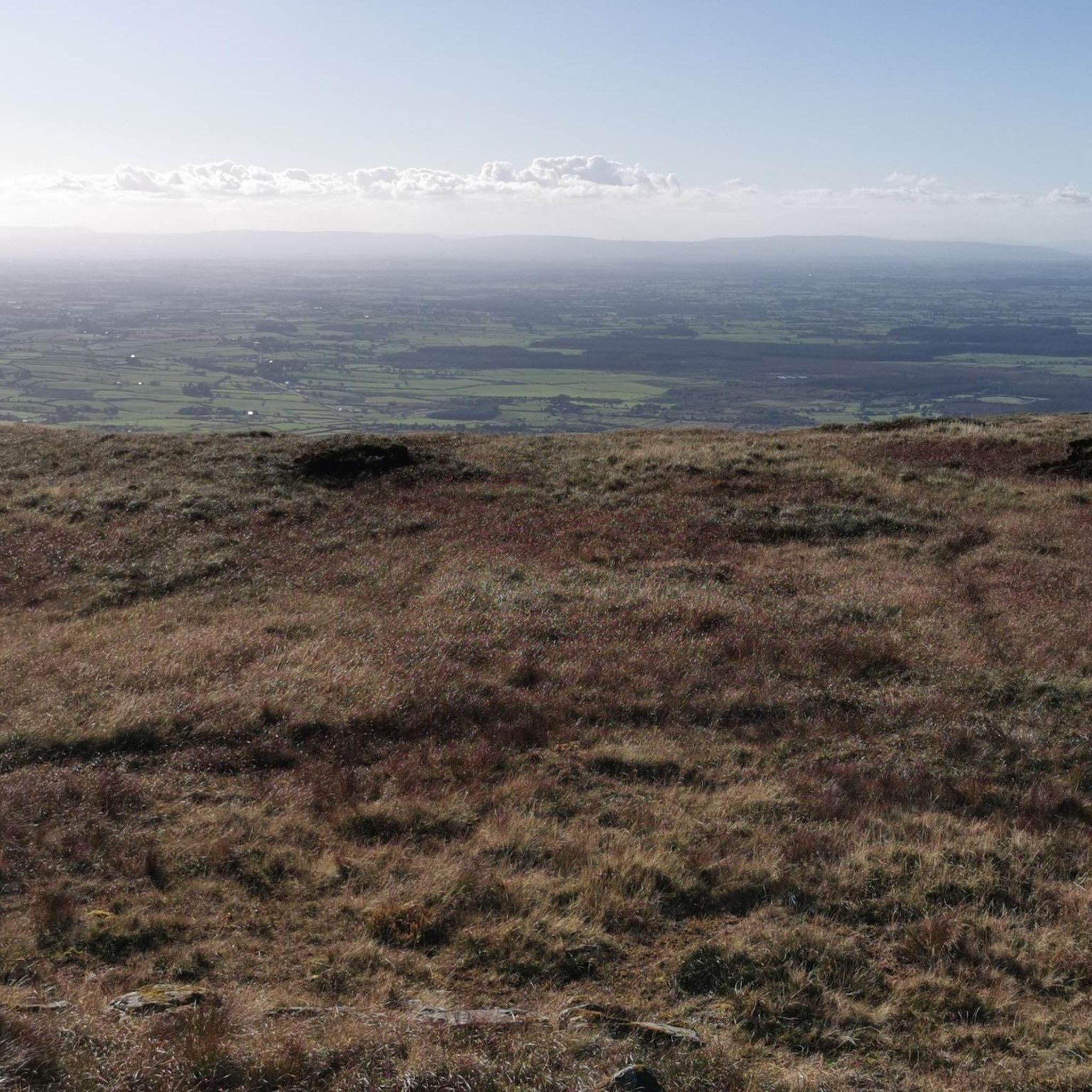
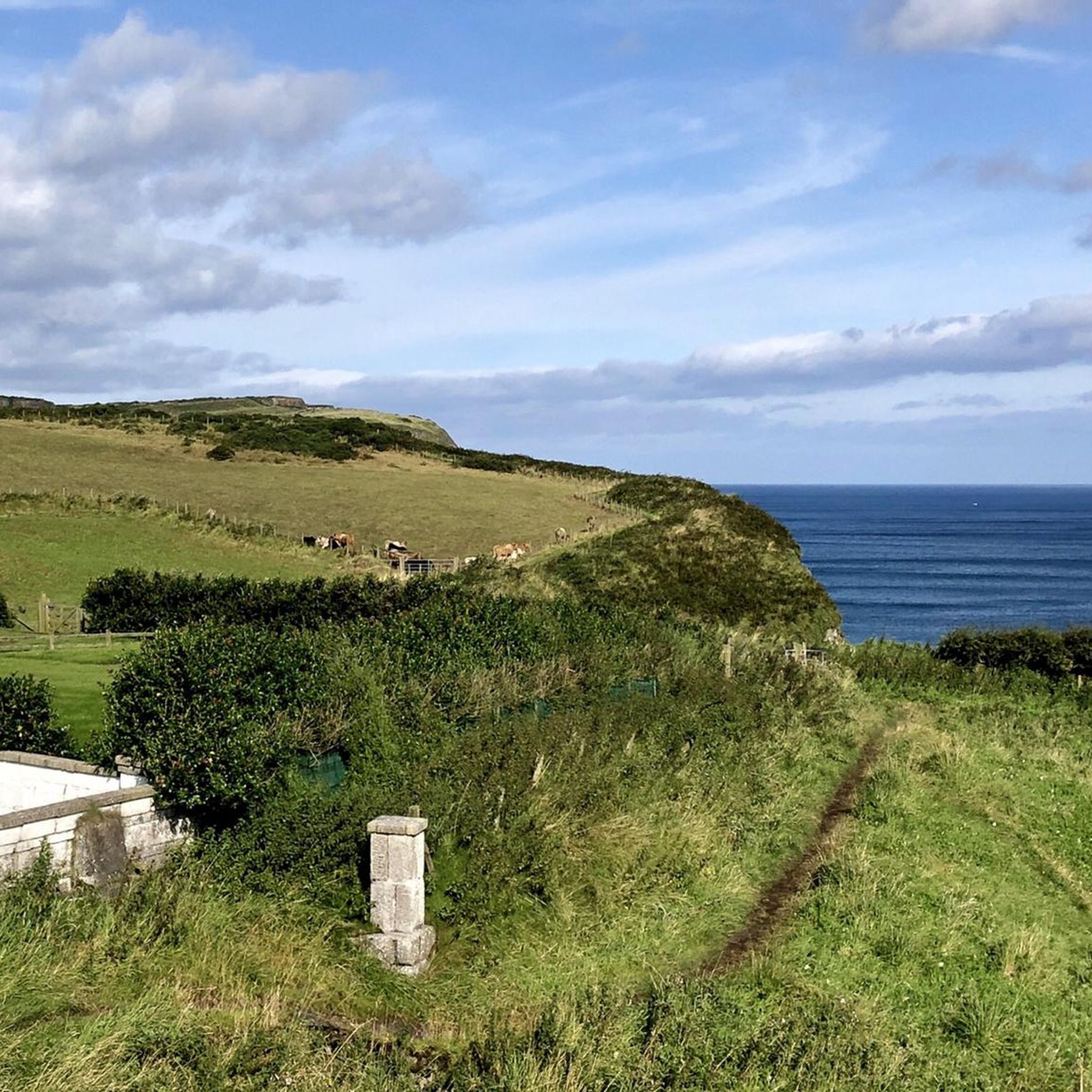

Tips from the Community


Great café, friendly service, great food closed on Sundays/Mondays, otherwise until 5pm (as of Oct 2024)
0
0

Nice harbour, with ferries to Rathlin Island (opposite, half an hour away) that leave every hour. Lots of ice cream shops nearby and a nice park, very relaxing area.
0
0

An old-fashioned marina in a fishing village. An idyllic place to stop during the long walk on this stretch of the CCR.
2
0

Beautiful little harbour located in the seaside village of Cushendun. The Mary McBrides across the road from here sells delicious food and real ales. There is also a café and convenience store nearby where you can pick up some snacks and take a respite on the sandy shore nearby.
2
0

The Round Tower was built as a freestanding bell towe in the 11th or 12th century.
1
0
Frequently Asked Questions
What kind of terrain can I expect when road cycling around Clare Mountain?
Road cycling around Clare Mountain offers a diverse landscape. You'll encounter rolling hills, tranquil forest tracks, and open bogland, particularly within the Slieve Bernagh Mountain Range. The region also provides scenic views of Lough Derg and the River Shannon, with varied experiences for different ability levels.
How many road cycling routes are available around Clare Mountain, and what are their difficulty levels?
There are 28 road cycling routes available around Clare Mountain. These include 7 easy routes, 13 moderate routes, and 8 difficult routes, offering options for various skill levels and preferences.
Are there any challenging road cycling routes with significant elevation gain?
Yes, Clare Mountain offers several challenging routes with considerable climbs. For instance, the Cushendun Village – View of Torr Head loop from Ballycastle is a difficult 33.0-mile (53.2 km) trail with over 900 meters of elevation gain. Another demanding option is the Ballycastle Beach – View of Glendun Valley loop from Ballycastle, a 51.9-mile (83.6 km) path also featuring significant climbs.
What are some scenic points or landmarks I can see along the road cycling routes?
Many routes offer stunning views and pass by notable landmarks. You might encounter the dramatic Torr Head Coastal Road, the historic Kinbane Castle, or the unique natural monument of The Dark Hedges. The region's highest point, Moylussa, also offers panoramic views on clear days.
What do other road cyclists enjoy most about road cycling in Clare Mountain?
The road cycling routes around Clare Mountain are highly rated by the komoot community, with an average score of 5.0 stars from over 3 reviews. Cyclists often praise the varied terrain, from rolling hills to forest tracks, and the scenic views of Lough Derg and the surrounding countryside.
Are there any moderate road cycling routes suitable for intermediate riders?
Absolutely. A popular moderate route is the Round Tower – View of Glendun Valley loop from Ballycastle, which is 35.9 miles (57.9 km) long and features over 700 meters of elevation gain. Another option is the The Old Bushmills Distillery – The Dark Hedges loop from Ballycastle, a 36.4-mile (58.6 km) route with moderate climbs.
Can I find circular road cycling routes in the Clare Mountain area?
Yes, many of the road cycling routes around Clare Mountain are designed as loops, allowing you to start and finish at the same point. Examples include the Ursa Minor – Bushmills Railway Station loop from Ballycastle and the Cushendun Village – View of Torr Head loop from Ballycastle.
What is the highest point in County Clare that cyclists might encounter?
The highest point in County Clare is Moylussa, located within the Slieve Bernagh Mountain Range, at 531.6 meters (1,744 feet). While less dramatic than Ireland's coastal mountains, it offers a peaceful, rural charm with forest tracks and open bogland. You can learn more about Moylussa on Wikipedia.
Are there any family-friendly road cycling options around Clare Mountain?
While the Slieve Bernagh Mountain Range offers varied terrain, some of the easier routes might be suitable for families with older children or those comfortable with moderate distances. Look for routes categorized as 'easy' or 'moderate' with lower elevation gains for a more relaxed family experience.
What are the typical durations for road cycling routes in this region?
Route durations vary significantly based on distance and difficulty. For example, the Ursa Minor – Bushmills Railway Station loop from Ballycastle can be completed in about 2 hours, while longer, more difficult routes like the Ballycastle Beach – View of Glendun Valley loop from Ballycastle might take over 3 hours and 50 minutes.
What kind of natural features define the broader County Clare region?
County Clare is known for its dramatic Atlantic coastline, unique geological formations like The Burren's karst limestone landscape, and tranquil rural roads. Key features include the iconic Cliffs of Moher, the scenic Loop Head Peninsula, and the expansive Lough Derg, Ireland's largest lake on the Shannon.
Are there any coastal road cycling routes near Clare Mountain?
While Clare Mountain itself is inland, the broader County Clare region is famous for its coastal cycling. Routes like the Kilkee Cliffs to Loop Head and Carrigaholt loop, or the Blackhead Lighthouse, Kilfenora and Lahinch from Cliffs of Moher, offer continuous views of the Atlantic coastline and dramatic sea cliffs.
Most popular routes around Clare Mountain
Most popular attractions around Clare Mountain

Get inspired with the komoot mobile app


Explore more
Browse the best Road cycling routes in other regions.
