The best mountain hikes around Ihrlerstein
4.6
(5)
31
hikers
8
hikes
Mountaineering routes around Ihrlerstein offer a diverse landscape characterized by dense forests, river valleys, and limestone formations. The region provides varied terrain suitable for different levels of experience, from gentle ascents to more challenging climbs. These routes often feature scenic viewpoints overlooking the surrounding Bavarian countryside.
Best mountaineering routes around Ihrlerstein
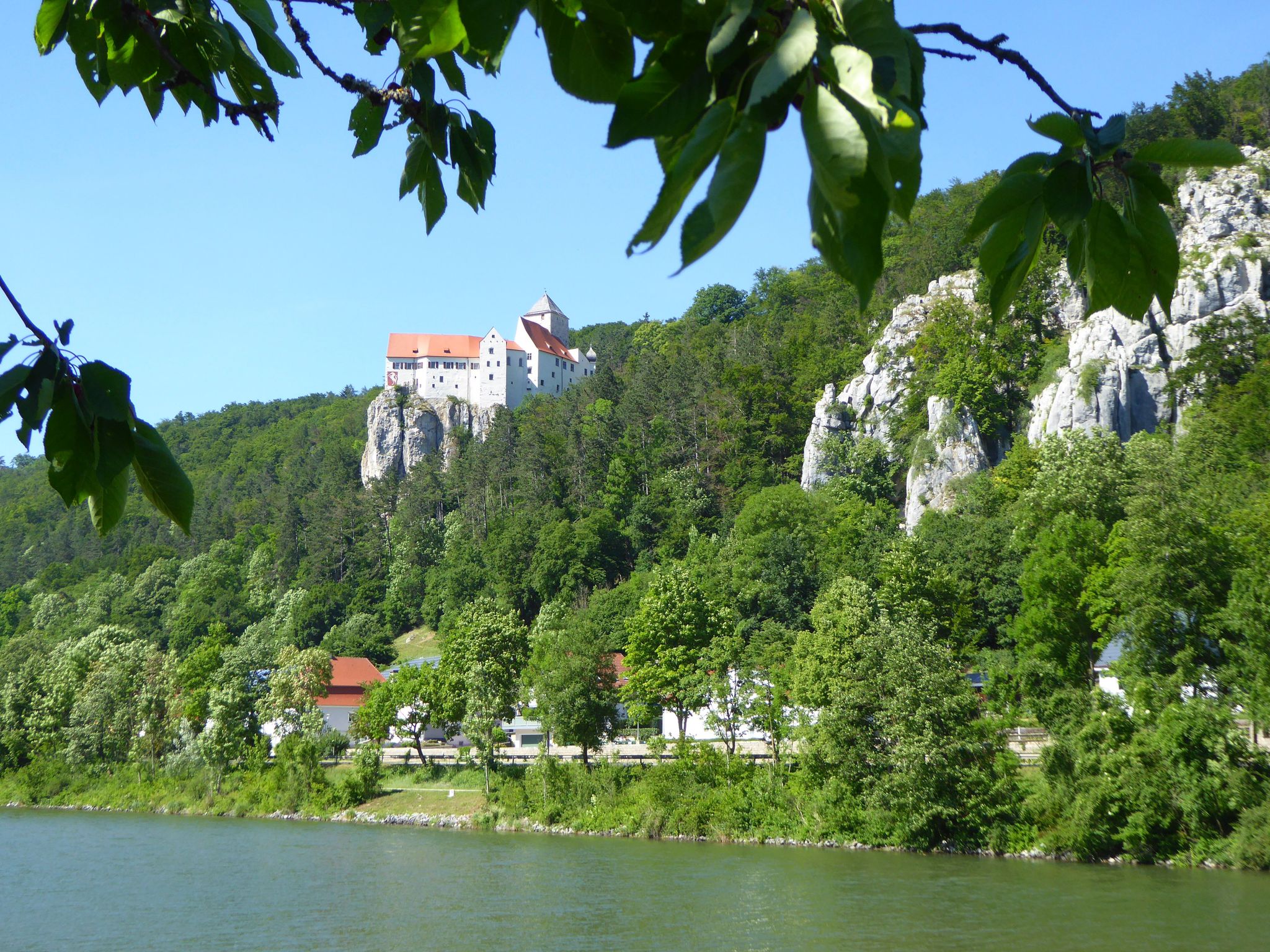
- The most popular mountaineering route is View of Riedenburg – View of Prunn Castle loop from Schloss Prunn, a 7.1 miles (11.5 km) trail that takes 3 hours 30 minutes to complete. This difficult route offers challenging ascents and panoramic views of historic castles.
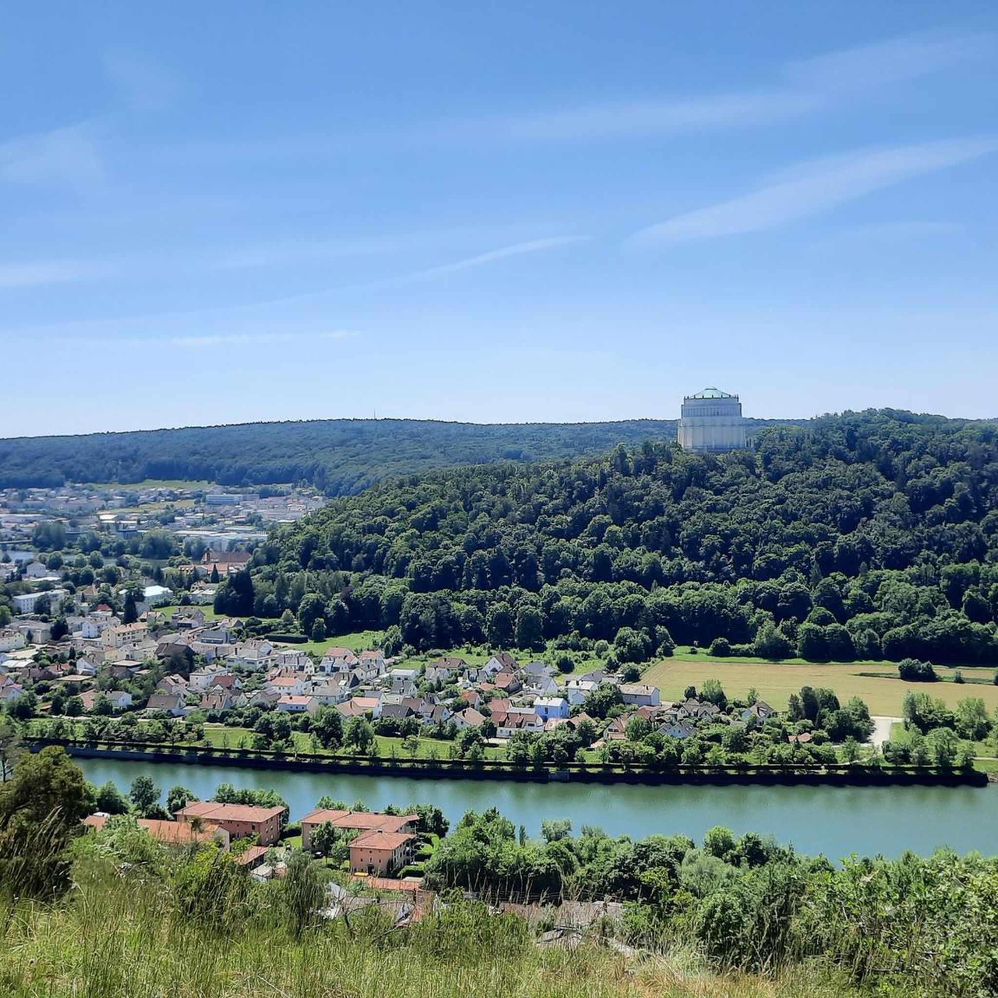
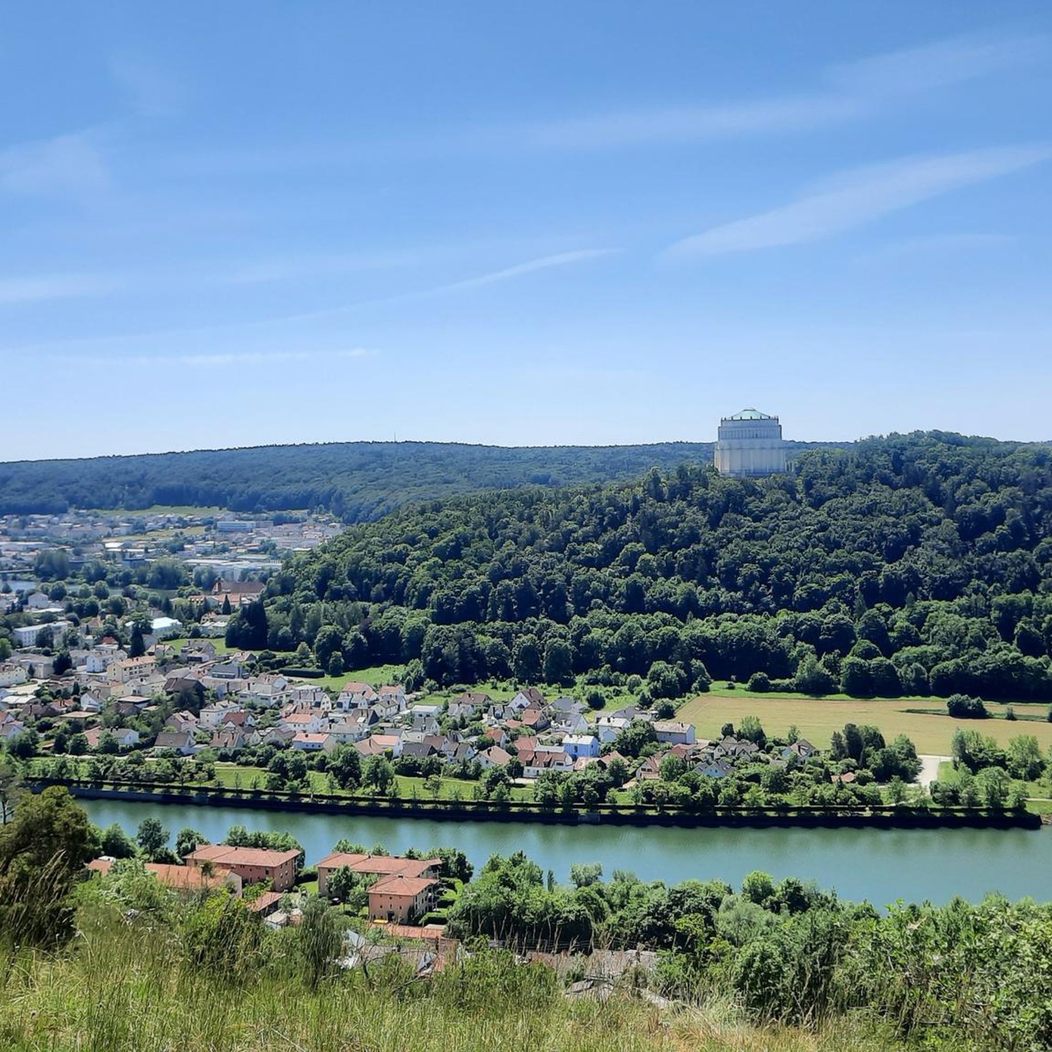
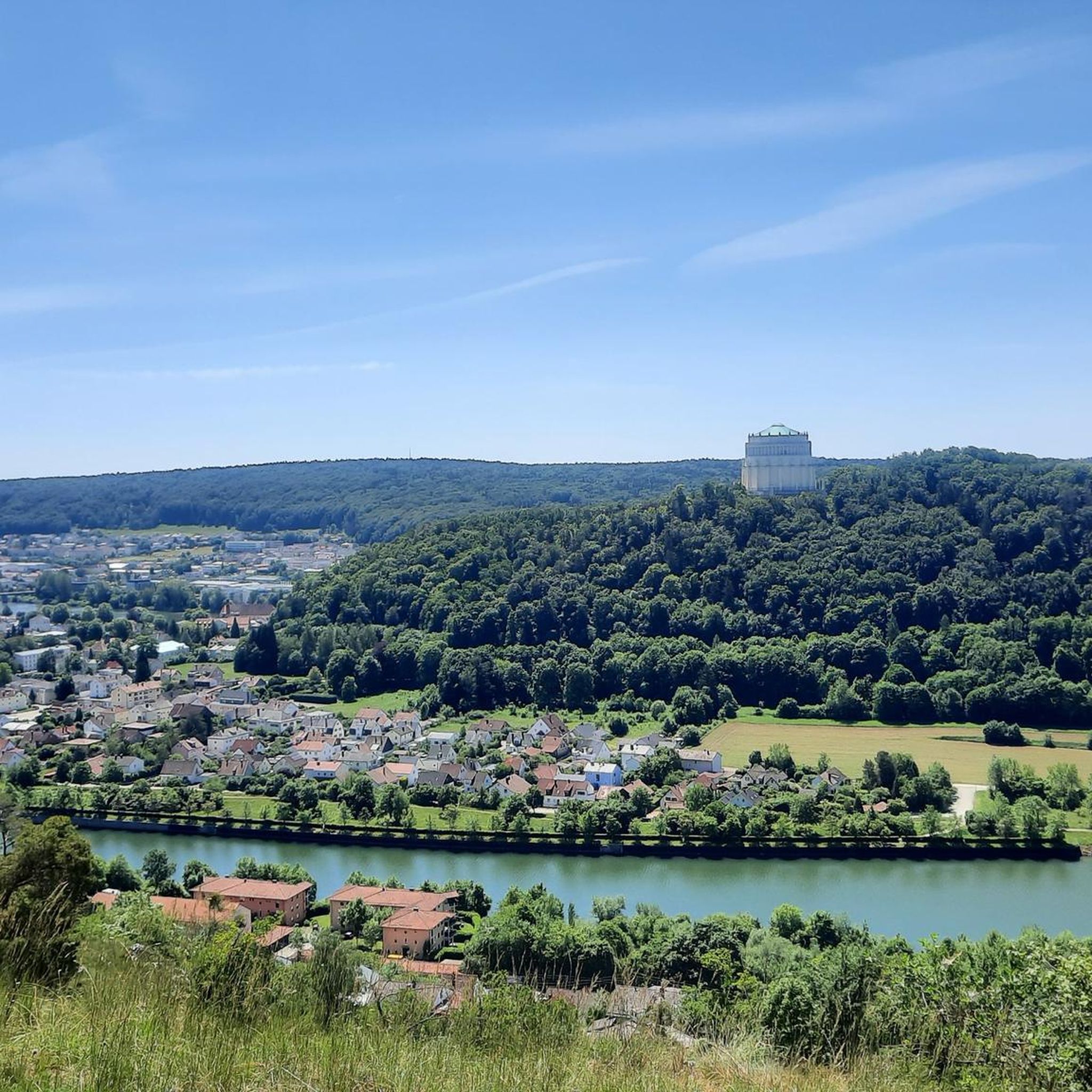
- Another top favourite among local mountaineers is View of Weltenburg Abbey – Hall of Liberation, Kelheim loop from Kelheim, a moderate 8.4 miles (13.6 km) path. This route traverses varied terrain, providing views of significant cultural landmarks.
- Local mountaineers also love the Mountaineering loop from Kelheim, a 6.0 miles (9.7 km) trail leading through forested areas and along riverbanks, often completed in about 2 hours 45 minutes.
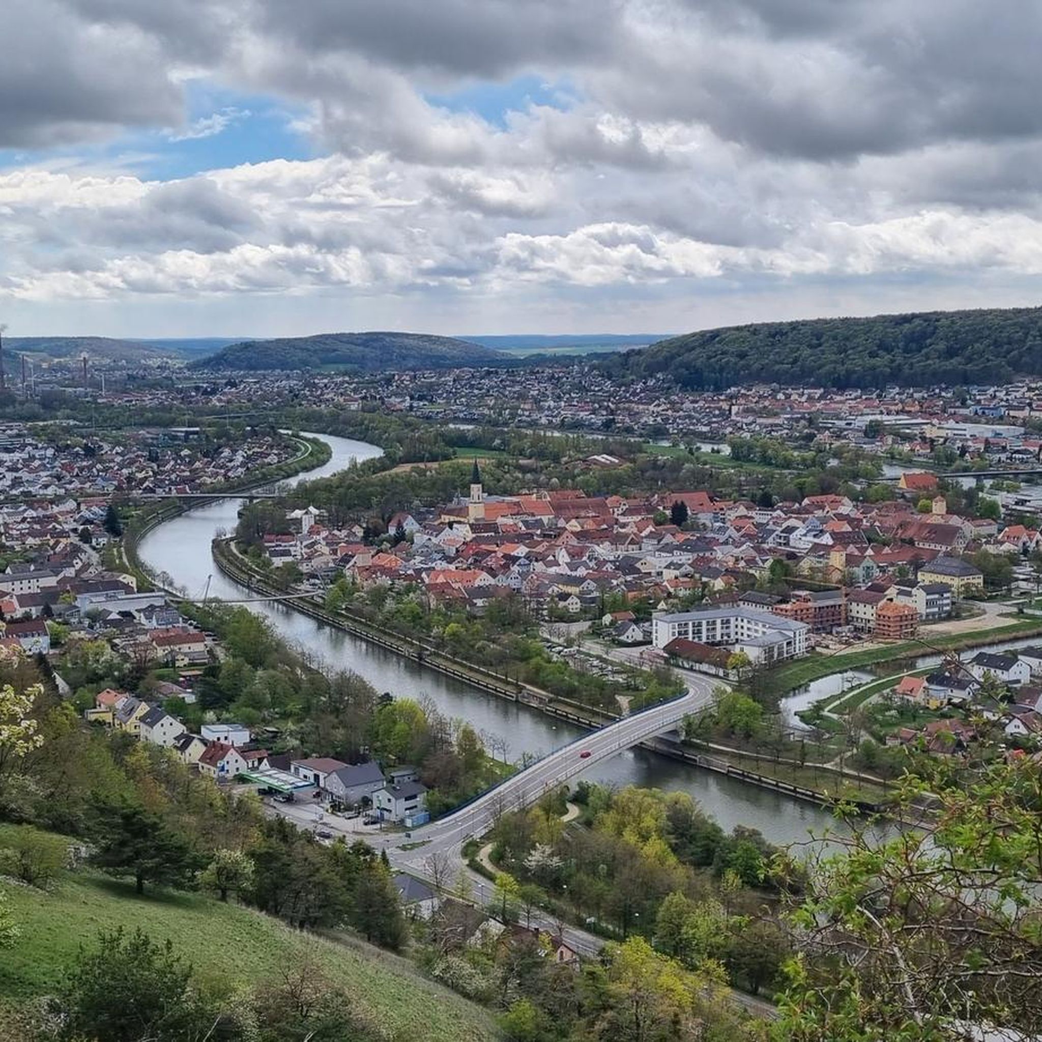
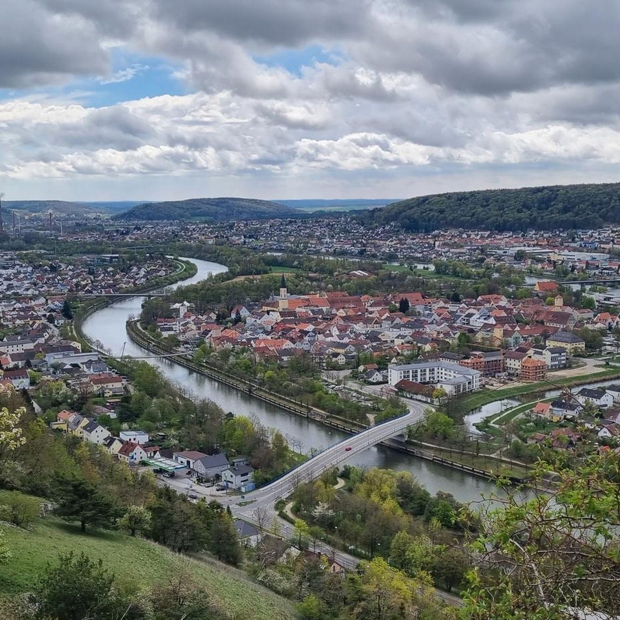
- Mountaineering around Ihrlerstein is defined by dense woodlands, river valleys, and rocky outcrops. The network offers options for different ability levels, from easy family friendly mountaineering routes Ihrlerstein to challenging mountaineering trails near Ihrlerstein.
- The routes in Ihrlerstein are highly rated by the komoot community with an average score of 4.6 stars from a few reviews. More than a few dozen mountaineers have used komoot to explore Ihrlerstein's varied terrain.
Last updated: May 25, 2026
4.0
(1)
11
hikers
11.6km
03:30
310m
310m
Hard mountaineering route. Good fitness required. Sure-footedness, sturdy shoes and alpine experience required.
4.7
(3)
9
hikers
13.6km
03:48
250m
250m
Moderate mountaineering route. Good fitness required. Easily-accessible paths. Suitable for all skill levels.

Sign up for free
5.0
(1)
5
hikers
9.71km
02:45
210m
210m
Moderate mountaineering route. Good fitness required. Easily-accessible paths. Suitable for all skill levels.
2
hikers
13.3km
03:37
190m
190m
Moderate mountaineering route. Good fitness required. Easily-accessible paths. Suitable for all skill levels.
1
hikers
4.12km
01:07
60m
60m
Easy mountaineering route. Great for any fitness level. Easily-accessible paths. Suitable for all skill levels.
Get access to more routes and recommendations from other explorers.
Sign up for free
Already have an account?
Our route recommendations are based on thousands of hikes, rides, and runs completed by other people on komoot.
Start today with a free account
Your next adventure awaits.
Login or Signup

Other adventures around Ihrlerstein

Tips from the Community

Nice path, but by no means as demanding and scrambly as variously announced.
0
0

Beautiful restaurant with a shady beer garden, great snacks, friendly service, and fair prices.
7
0

grinder tower, beautiful to look at
0
0

Great selection of cakes. Rustic dining room with ancient gas lighting on the ceiling, as the Fraunhäusel is not connected to the electricity grid. Very nice service! 🍀😃
2
0

A pearl in the Altmühltal with a beautiful old town.
8
0

From up here you have a wonderful view of the riverbed of the Danube. The rock formations and river gorges formed by nature are a spectacular sight, a very beautiful natural phenomenon.
8
0

Beautiful old and new town hall of Kelheim.
5
0
Beautiful grinder tower in Kelheim.
1
0
Frequently Asked Questions
Are there easy mountaineering routes suitable for beginners or families in Ihrlerstein?
Yes, Ihrlerstein offers routes suitable for all skill levels. For an easier option, consider the Frauenhäusl forest restaurant – Etzenberg loop from Frauenhäusl. This 4.1 km route is rated easy and takes about 1 hour 10 minutes, making it a great choice for a relaxed outing.
Where can I find challenging mountaineering trails around Ihrlerstein?
For a more demanding experience, the View of Riedenburg – View of Prunn Castle loop from Schloss Prunn is a difficult 11.5 km trail that features significant ascents and panoramic views, typically taking around 3 hours 30 minutes to complete.
What kind of scenery can I expect on mountaineering routes near Ihrlerstein?
The region around Ihrlerstein is characterized by diverse landscapes, including dense forests, picturesque river valleys, and distinctive limestone formations. Many routes offer scenic viewpoints overlooking the Bavarian countryside and historic landmarks.
Are there any circular mountaineering routes in the area?
Yes, many routes in Ihrlerstein are designed as loops. A popular option is the Mountaineering loop from Kelheim, which is a moderate 9.7 km trail through forested areas and along riverbanks, taking about 2 hours 45 minutes.
What are some notable landmarks or attractions I can see along the routes?
Mountaineering routes often pass by significant points of interest. You can encounter stunning views like the View of Prunn Castle, explore natural wonders such as the Danube Gorge (Weltenburg Narrows), or visit historic sites like Prunn Castle itself.
What do other mountaineers enjoy most about the routes in Ihrlerstein?
The routes in Ihrlerstein are highly rated by the komoot community, with an average score of 4.6 stars. Reviewers often praise the varied terrain, the beautiful views of castles and natural monuments, and the well-maintained paths that cater to different fitness levels.
How many mountaineering routes are available around Ihrlerstein?
There are 8 mountaineering routes detailed for the Ihrlerstein area, offering a good selection for various preferences and skill levels, from easy to difficult.
Are there routes that combine natural beauty with cultural landmarks?
Absolutely. The View of Weltenburg Abbey – Hall of Liberation, Kelheim loop from Kelheim is a moderate 13.6 km path that traverses varied terrain, providing views of significant cultural landmarks like the Hall of Liberation and Weltenburg Abbey.
Can I find routes that follow riverbanks or offer waterside views?
Yes, several routes incorporate river sections. For example, the Danube Promenade, Kelheim – Old Town Hall, Kelheim loop from Kelheim is a moderate 13.6 km route that includes parts of the Danube Promenade, offering pleasant waterside experiences.
What is the best season for mountaineering in Ihrlerstein?
While specific seasonal information isn't provided, the diverse landscape of forests and river valleys typically makes spring and autumn ideal for mountaineering in this region, with pleasant temperatures and vibrant scenery. Summer can also be enjoyable, especially in shaded forest areas.
Are there any less-known or quieter trails for mountaineering in Ihrlerstein?
While specific 'less-known' routes aren't highlighted, the region offers a variety of trails beyond the most popular ones. Exploring routes like the Mountaineering loop from Kelheim, which is loved by locals, can provide a more tranquil experience away from larger crowds.
Most popular routes around Ihrlerstein
Most popular attractions around Ihrlerstein

Get inspired with the komoot mobile app


Explore more
Browse the best Mountain Hikes & Routes in other regions.
