The best mountain hikes around Hienheimer Forst
4.6
(5)
30
hikers
7
hikes
Mountaineering around Hienheimer Forst is characterized by its extensive oak and ancient beech forests, situated in Lower Bavaria near the confluence of the Altmühl and Danube rivers. While the immediate area is primarily forested, the broader region around Kelheim offers more challenging mountain routes. These routes often feature varied terrain, including ascents through woodlands and paths with historical significance, such as a Roman Limes watchtower foundation. The landscape provides a mix of natural forest development and riverside paths.
Best mountaineering…
Last updated: July 5, 2026
4.0
(1)
11
hikers
11.6km
03:30
310m
310m
Hard mountaineering route. Good fitness required. Sure-footedness, sturdy shoes and alpine experience required.
4.7
(3)
9
hikers
13.6km
03:48
250m
250m
Moderate mountaineering route. Good fitness required. Easily-accessible paths. Suitable for all skill levels.

Sign up for free
5.0
(1)
5
hikers
9.71km
02:45
210m
210m
Moderate mountaineering route. Good fitness required. Easily-accessible paths. Suitable for all skill levels.
2
hikers
13.4km
03:39
190m
190m
Moderate mountaineering route. Good fitness required. Easily-accessible paths. Suitable for all skill levels.
1
hikers
4.12km
01:07
60m
60m
Easy mountaineering route. Great for any fitness level. Easily-accessible paths. Suitable for all skill levels.
Get access to more routes and recommendations from other explorers.
Sign up for free
Already have an account?
Our route recommendations are based on thousands of hikes, rides, and runs completed by other people on komoot.
Start today with a free account
Your next adventure awaits.
Login or Signup
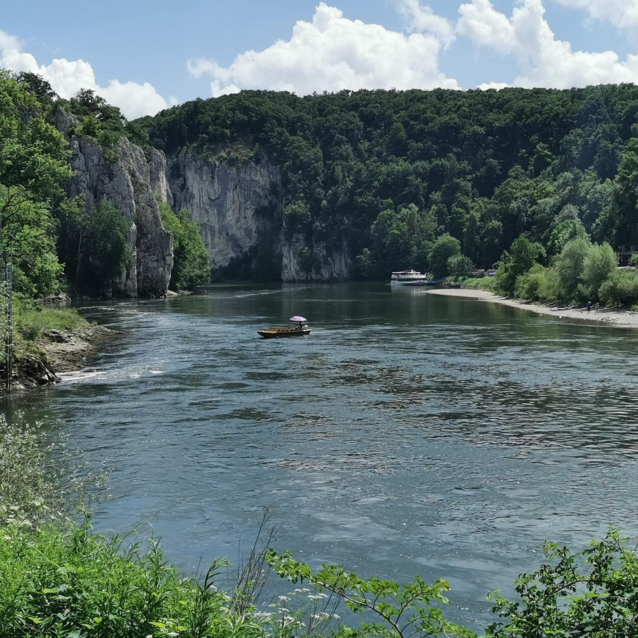
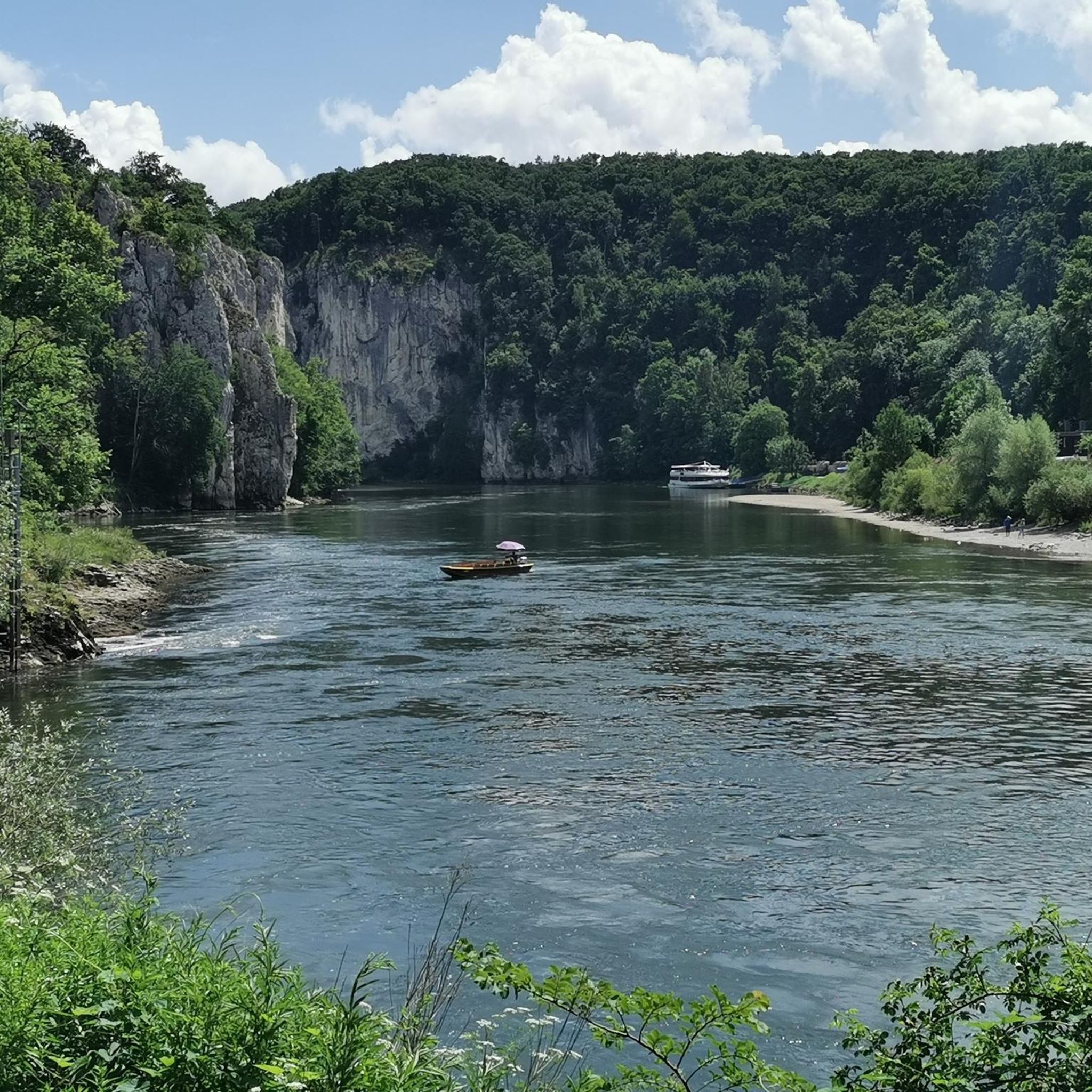
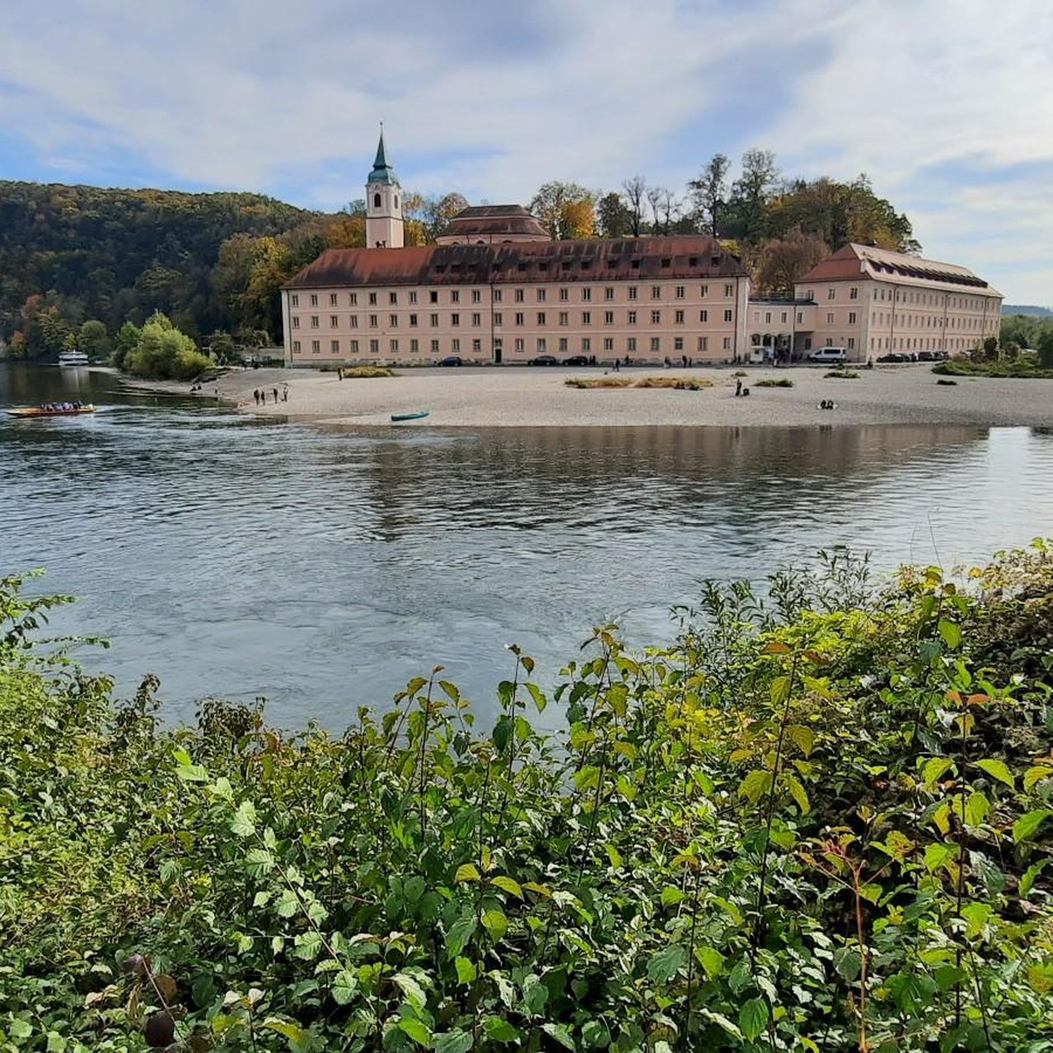

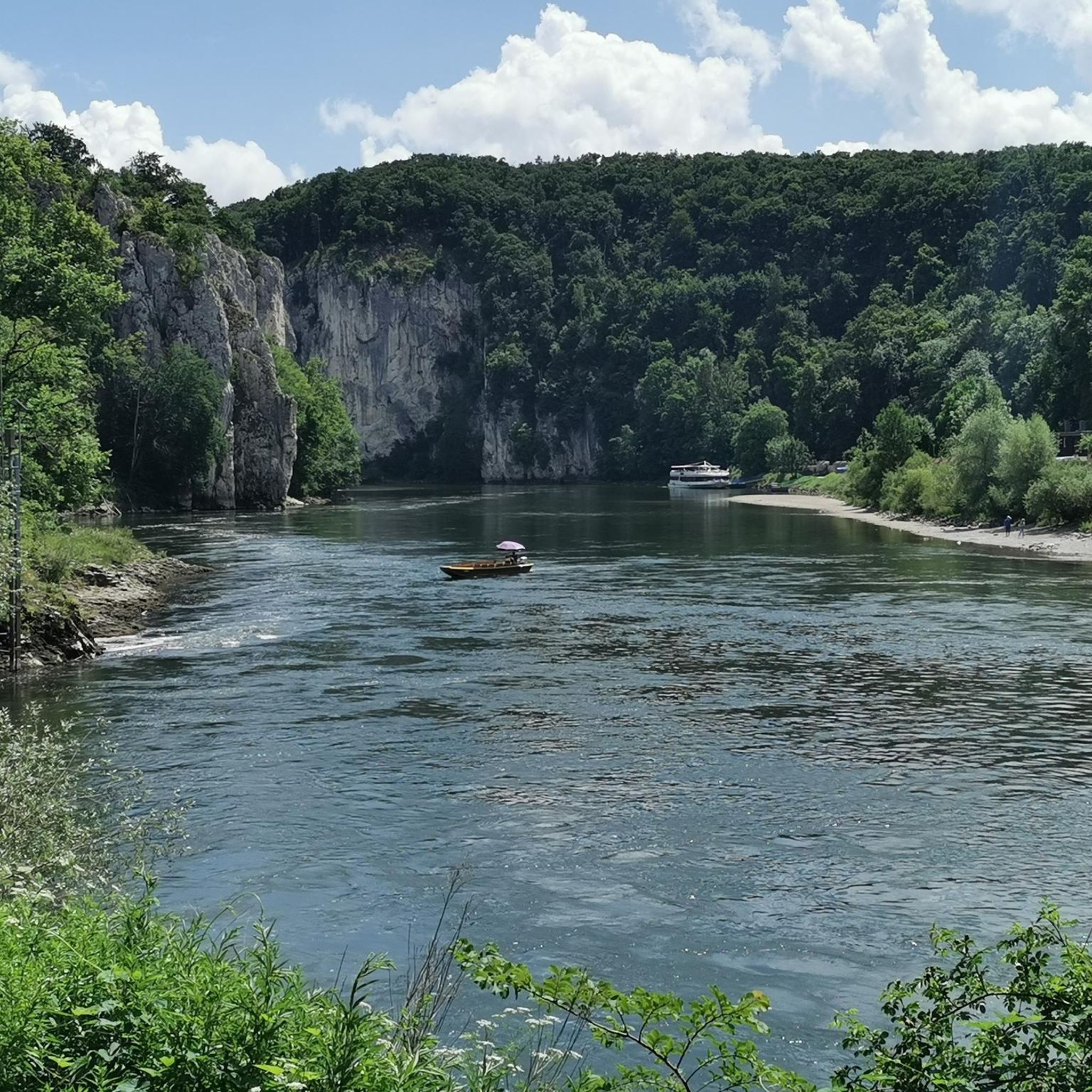
Tips from the Community

The Frauenhäusl-Trail, the "Flow-Trail Niederbayern", the Holy Josef Trail and the Goldberg-Trail (Kelheim) lie on a line. It's best to start at the top at Frauenhäusl. There is also the signpost of the UrTrails Altmühltal. Very nice long trail down towards Kelheim. Complete route: either 1. Goldrush (UrTrails Altmühltal) https://www.herzstueck.bayern/poi/detail/goldrush-urtrails-altmuehltal-629d1307dc or 2. Pure Pleasure (UrTrails Altmühltal) https://www.herzstueck.bayern/poi/detail/pure-pleasure-urtrails-altmuehltal-d5276ff868
2
0

Nice path, but by no means as demanding and scrambly as variously announced.
0
0

Beautiful restaurant with a shady beer garden, great snacks, friendly service, and fair prices.
7
0

At the pier you can also do the Kelheim round
0
0

Great selection of cakes. Rustic dining room with ancient gas lighting on the ceiling, as the Fraunhäusel is not connected to the electricity grid. Very nice service! 🍀😃
2
0

Interesting
3
0
Very nice
3
0

A pearl in the Altmühltal with a beautiful old town.
8
0
Frequently Asked Questions
Are there easy mountaineering routes suitable for beginners in Hienheimer Forst?
Yes, Hienheimer Forst offers some easier mountaineering routes. For instance, the Frauenhäusl forest restaurant – Etzenberg loop from Frauenhäusl is an easy 4.1 km trail that takes about 1 hour 7 minutes to complete, featuring gentle ascents through the forest.
What kind of challenges can I expect on the more difficult mountaineering routes around Hienheimer Forst?
The broader region around Kelheim, encompassing Hienheimer Forst, features more challenging mountaineering routes that demand good physical condition, sure-footedness, and sturdy footwear. These routes often include significant elevation changes and varied terrain. An example is the View of Riedenburg – View of Prunn Castle loop from Schloss Prunn, a difficult 11.5 km trail with over 300 meters of elevation gain.
Are there circular mountaineering routes available in the Hienheimer Forst area?
Yes, many of the mountaineering routes in the Hienheimer Forst region are designed as loops, allowing you to start and end at the same point. A popular option is the Mountaineering loop from Kelheim, which is a moderate 9.7 km trail through forested hillsides.
What natural landmarks or historical sites can I see along the mountaineering routes?
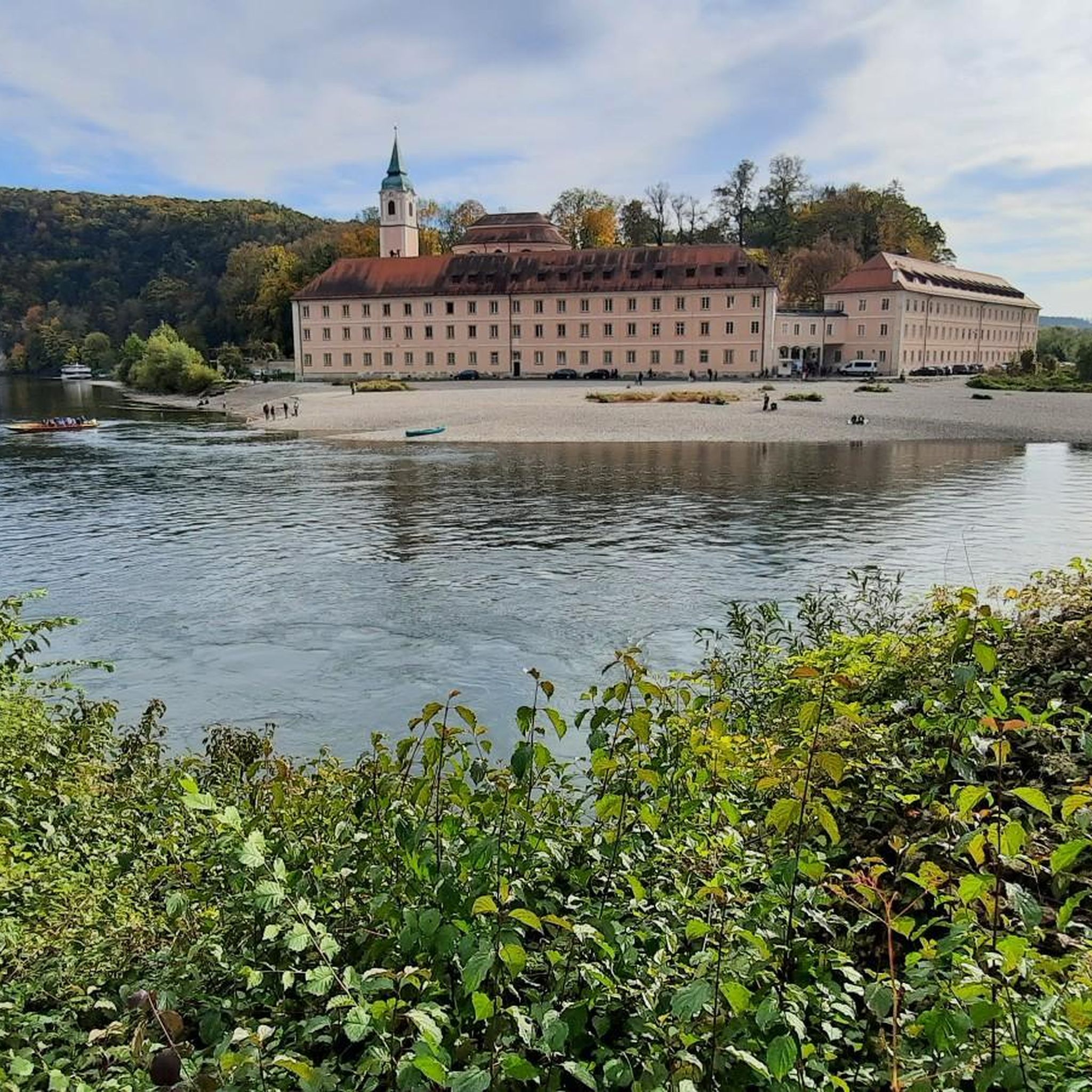
The routes around Hienheimer Forst offer a blend of natural beauty and historical significance. You can encounter ancient oak and beech forests, and even a Roman Limes watchtower foundation. Some trails provide views of the Danube Gorge (Weltenburg Narrows) and the impressive Prunn Castle. The View of Weltenburg Abbey – Hall of Liberation, Kelheim loop from Kelheim, for example, passes by significant landmarks.
Are there any scenic viewpoints on the mountaineering trails around Hienheimer Forst?
Absolutely. Many routes offer rewarding scenic viewpoints, especially those overlooking the Altmühl and Danube rivers. The View of Riedenburg – View of Prunn Castle loop from Schloss Prunn provides stunning vistas of historical castles and river valleys. You can also find highlights like the View of Prunn Castle and the Danube Gorge.
How can I reach the mountaineering trails around Hienheimer Forst by public transport?
While specific public transport options can vary, the town of Kelheim often serves as a hub for accessing the surrounding region. From Kelheim, you might find local bus services or connections that can bring you closer to various trailheads. It's advisable to check local transport schedules for the most up-to-date information when planning your trip.
Is parking available for mountaineers near the trailheads in Hienheimer Forst?
Yes, parking is generally available near popular trailheads and starting points for mountaineering routes in and around Hienheimer Forst, particularly in towns like Kelheim or near attractions. However, availability can vary, especially during peak seasons, so arriving early is recommended.
Are the mountaineering routes around Hienheimer Forst suitable for families?
Many of the routes within Hienheimer Forst, especially those characterized by extensive forests, are suitable for families. While some routes are more challenging, there are easier options like the Frauenhäusl forest restaurant – Etzenberg loop from Frauenhäusl that offer a pleasant experience for all ages, allowing families to enjoy the natural forest development.
Can I bring my dog on the mountaineering routes in Hienheimer Forst?
Generally, dogs are welcome on the mountaineering routes in Hienheimer Forst, provided they are kept on a leash and you adhere to local regulations regarding pets in natural areas. The extensive forested paths offer a great environment for walks with your canine companion. Always ensure to clean up after your dog.
What is the best time of year to go mountaineering in Hienheimer Forst?
The best time to go mountaineering in Hienheimer Forst is typically from spring through autumn. During these seasons, the weather is generally mild, and the forests are vibrant. Spring offers blooming flora, summer provides lush greenery, and autumn showcases beautiful fall colors. Winter mountaineering is possible but requires appropriate gear and awareness of potentially icy or snowy conditions.
How long do the mountaineering routes typically take to complete?
The duration of mountaineering routes around Hienheimer Forst varies depending on their length and difficulty. For example, an easy route like the Frauenhäusl forest restaurant – Etzenberg loop from Frauenhäusl can be completed in just over an hour, while moderate to difficult routes such as the Danube Promenade, Kelheim – Old Town Hall, Kelheim loop from Kelheim might take around 3 hours 40 minutes for the 13.7 km distance.
What makes the mountaineering experience in Hienheimer Forst unique?
The mountaineering experience in Hienheimer Forst is unique due to its blend of ancient oak and beech forests, significant natural forest development, and proximity to the Altmühl and Danube rivers. The area also boasts historical elements, such as a Roman Limes watchtower foundation. The komoot community highly rates the routes, with an average of 4.6 stars, often praising the quiet woodlands and varied terrain.
Are there any cafes or restaurants near the mountaineering trails in Hienheimer Forst?
While Hienheimer Forst itself is a natural area, the surrounding towns and villages, particularly Kelheim, offer various options for cafes and restaurants. Some routes, like the Frauenhäusl forest restaurant – Etzenberg loop from Frauenhäusl, even start or pass by establishments where you can refuel after your hike.
Most popular routes around Hienheimer Forst
Most popular attractions around Hienheimer Forst

Get inspired with the komoot mobile app


Explore more
Browse the best Mountain Hikes & Routes in other regions.
