The best mountain hikes around Schlichtenberger Wald
4.0
(9)
98
hikers
8
hikes
Mountaineering around Schlichtenberger Wald offers challenging routes within the expansive Bavarian Forest region of Lower Bavaria, Germany. This area is characterized by vast forested landscapes, including natural mixed mountain forests of spruce, fir, and beech. While Schlichtenberger Wald itself reaches 831 meters, the surrounding Bavarian Forest features numerous peaks exceeding 1,000 meters, providing significant elevation gains and diverse terrain for mountaineers. The region is an integral part of the Bavarian Forest Nature Park, ensuring a pristine environment for outdoor pursuits.
…Last updated: July 5, 2026
3
hikers
Hard mountaineering route. Good fitness required. Sure-footedness, sturdy shoes and alpine experience required.
4
hikers
4.22km
01:23
160m
160m
Hard mountaineering route. Great for any fitness level. Sure-footedness, sturdy shoes and alpine experience required.

Sign up for free
5.0
(1)
9
hikers
6.59km
02:24
400m
400m
Hard mountaineering route. Good fitness required. Sure-footedness, sturdy shoes and alpine experience required.
6
hikers
8.36km
02:50
420m
420m
Hard mountaineering route. Good fitness required. Sure-footedness, sturdy shoes and alpine experience required.
1.0
(1)
5
hikers
13.6km
04:44
540m
540m
Moderate mountaineering route. Good fitness required. Mostly accessible paths. Sure-footedness required.
Get access to more routes and recommendations from other explorers.
Sign up for free
Already have an account?
Our route recommendations are based on thousands of hikes, rides, and runs completed by other people on komoot.
Start today with a free account
Your next adventure awaits.
Login or Signup
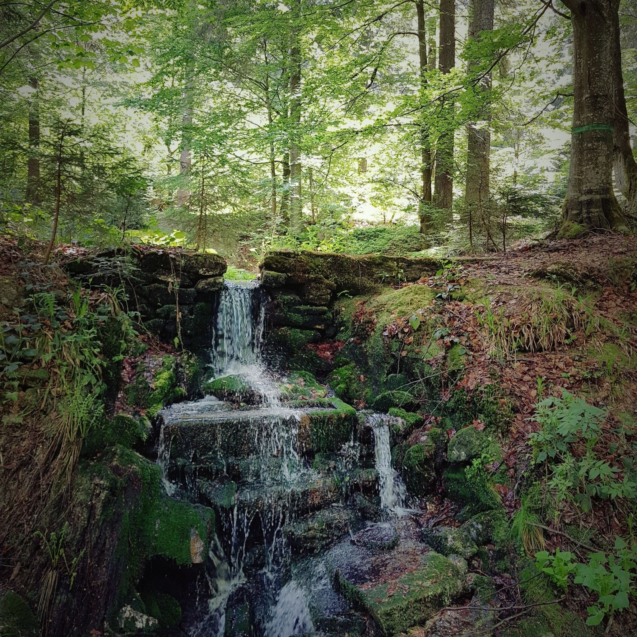
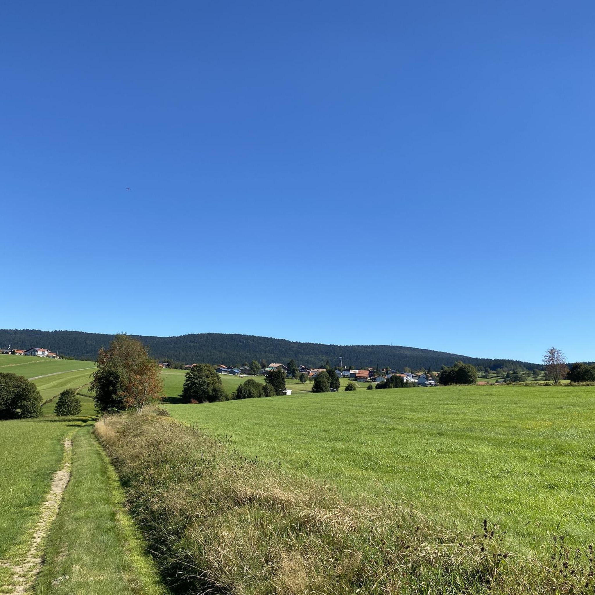
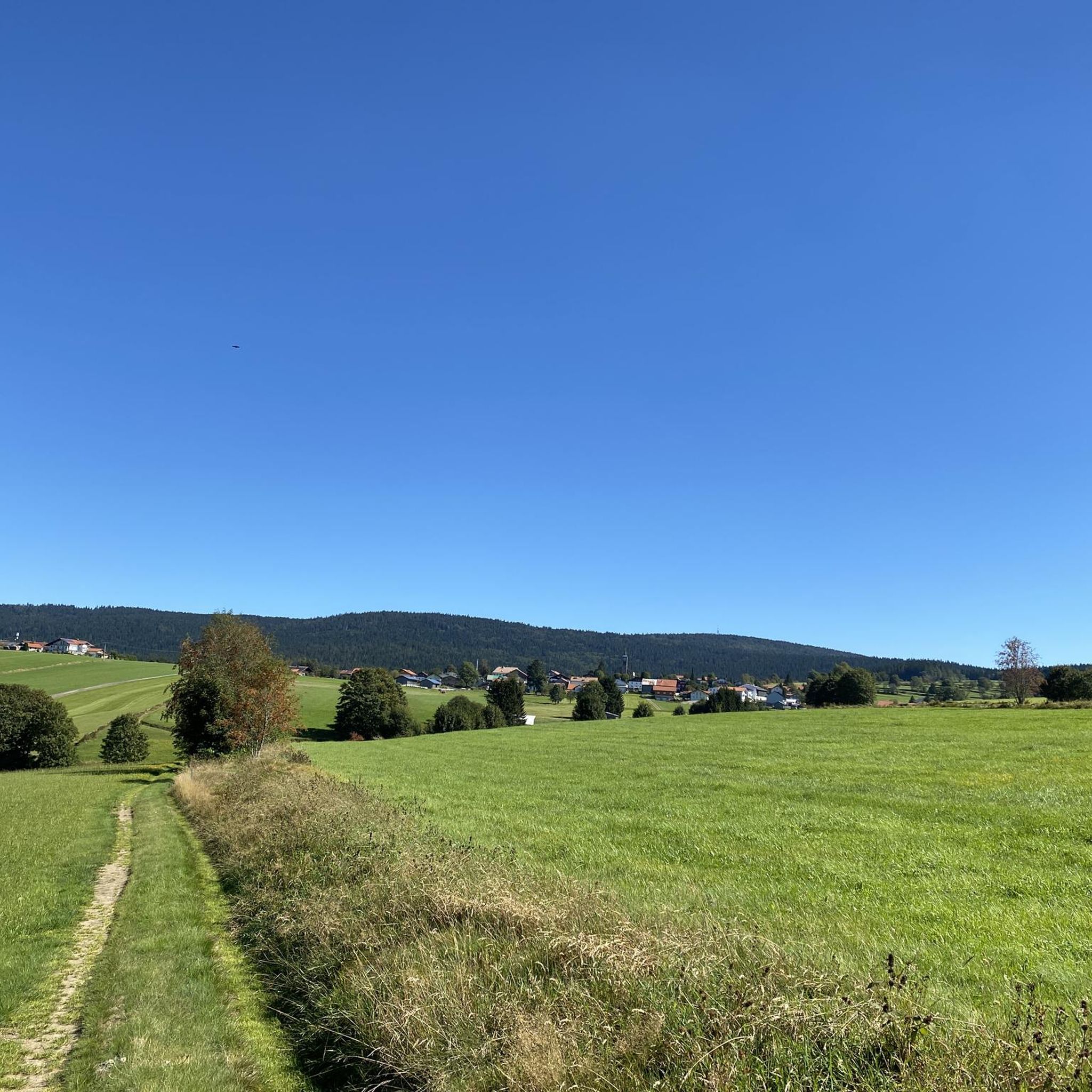
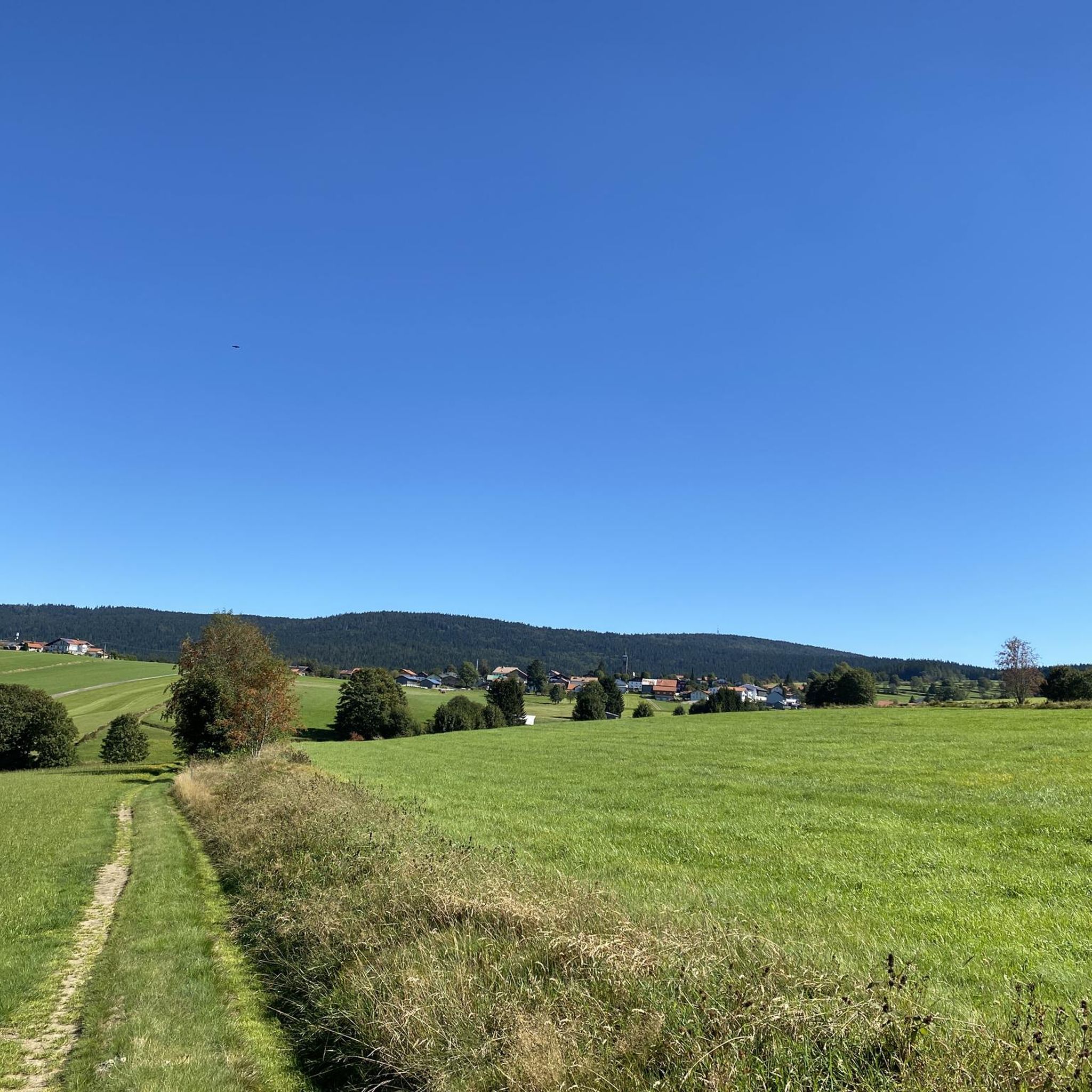
Tips from the Community

If you are vacationing in Frauenberg or Haidmühle, you can park here for free with the corresponding map
0
0

Beautiful rocks up here and a magnificent 360-degree panorama from the Dreisesselfelsen. The ascent is moderate until the last hairpin bend, then it really gets going, but then it's done!
0
0

Dreiländereck with possibility for a break.
0
0

Three-country border region 🇨🇿 CZ 🇦🇹 A 🇩🇪 D
0
0

A very beautiful sculpture of the three countries.
0
0

It's always lovely here.
0
0
great views in good weather
0
0
Frequently Asked Questions
How many mountaineering routes are available in Schlichtenberger Wald?
There are 8 mountaineering routes around Schlichtenberger Wald listed on komoot. These routes offer a range of experiences within the Bavarian Forest, from moderate to difficult.
What kind of terrain can I expect on mountaineering routes in Schlichtenberger Wald?
The terrain around Schlichtenberger Wald, being part of the Bavarian Forest, is characterized by extensive natural mixed mountain forests, including spruce, fir, and beech trees. You'll encounter varied mountain terrain, with numerous peaks exceeding 1,000 meters, offering significant elevation gains. Some areas also feature granite crags, adding to the diverse landscape.
Are there any easier mountaineering routes for beginners in Schlichtenberger Wald?
While many routes are challenging, there is 1 moderate route and 1 easy route available. For example, the Dreisessel – Bishop Neumann Chapel loop from Frauenberg is rated as moderate, offering a good option for those looking for a less strenuous but still rewarding experience.
What are some challenging mountaineering routes with significant elevation gain?
For those seeking a challenge, routes like the Dreisessel – Dreisesselhaus Mountain Inn loop from Frauenberg offer substantial elevation gain, with over 420 meters of ascent over 8.3 kilometers. These routes demand good fitness and sure-footedness.
Are there any circular mountaineering routes in the area?
Yes, many of the mountaineering routes around Schlichtenberger Wald are designed as loops. For instance, the Great Kanzel Summit – Little Pulpit loop from Felswandergebiet is a circular route, allowing you to start and end at the same point without needing to retrace your steps.
What do other mountaineers enjoy most about the routes in Schlichtenberger Wald?
The routes in Schlichtenberger Wald are highly rated by the komoot community, with an average score of 4.0 stars from over 9 reviews. Mountaineers often praise the pristine natural environment, the extensive forest cover, and the rewarding views from the higher peaks within the Bavarian Forest.
Is Schlichtenberger Wald suitable for family-friendly mountaineering?
While many routes are rated difficult, the region offers diverse terrain. For families, it's best to look for the easier or moderate routes, such as the Dreisessel – Bishop Neumann Chapel loop from Frauenberg, and ensure everyone has appropriate gear and fitness for the chosen trail. The focus on natural forests makes it a great place to explore nature together.
Can I bring my dog on the mountaineering trails in Schlichtenberger Wald?
Generally, dogs are welcome on trails in the Bavarian Forest region. However, it's always advisable to keep them on a leash, especially in protected areas and near wildlife. Ensure your dog is fit enough for the chosen route, as some trails can be challenging with significant elevation changes.
What is the best time of year to go mountaineering in Schlichtenberger Wald?
The best time for mountaineering in Schlichtenberger Wald is typically from late spring to early autumn (May to October), when the weather is milder and trails are clear of snow. During these months, you can fully enjoy the lush forests and panoramic views. Winter mountaineering is possible but requires specialized equipment and experience due to snow and ice conditions.
Are there any specific viewpoints or landmarks to look out for on the routes?
Yes, the region offers several rewarding viewpoints. For example, the Hochstein Summit (1,333 m) – Bischof-Neumann Chapel loop from Frauenberg leads to the Hochstein Summit, which provides excellent views. The broader Bavarian Forest also features numerous peaks above 1,000 meters, each offering unique perspectives of the forested landscape.
How can I access the mountaineering routes in Schlichtenberger Wald by public transport?
Access to specific trailheads by public transport can vary. While the region is well-known for outdoor activities, detailed public transport information for each starting point is best checked locally or through regional transport providers. Many routes might require a short drive to reach the trailhead.
Are there options for food and accommodation near the mountaineering trails?
The broader Bavarian Forest region, including areas around Schlichtenberger Wald, offers various options for food and accommodation. You can find guesthouses, inns, and restaurants in nearby towns and villages. Some longer routes might also pass by mountain huts or inns, such as the Dreisesselhaus Mountain Inn mentioned in the Dreisessel – Dreisesselhaus Mountain Inn loop from Frauenberg.
Most popular routes around Schlichtenberger Wald

Get inspired with the komoot mobile app


Explore more
Browse the best Mountain Hikes & Routes in other regions.
