The best walks and hikes around Ballynalougher
4.6
(180)
1,438
hikers
35
hikes
Hiking around Ballynalougher offers access to the diverse landscapes of County Antrim, Northern Ireland. The region is characterized by dramatic coastal paths, the unique basalt columns of the Giant's Causeway, and the scenic Glens of Antrim. Hikers can explore a mix of clifftop walks, river valleys, and upland trails, with elevations ranging from sea level to over 200 meters on hills like Agnew's Hill. This varied terrain provides a range of experiences from gentle strolls to more challenging ascents.
Best…
Last updated: May 13, 2026
4.7
(82)
457
hikers
4.56km
01:21
140m
140m
Embark on an easy hike through Glenariff Forest Park on the Waterfall Trail via Rainbow Trail. This route covers 2.8 miles (4.6 km) with an elevation gain of 447 feet…
4.8
(46)
369
hikers
9.60km
02:47
240m
240m
The Scenic Trail provides a moderate hiking experience through diverse landscapes. You will cover 6.0 miles (9.6 km) and gain 776 feet (237 metres) in elevation, typically taking about 2…

Sign up for free
4.3
(4)
83
hikers
Easy hike. Great for any fitness level. Easily-accessible paths. Suitable for all skill levels.
4.8
(5)
52
hikers
Hard hike. Very good fitness required. Easily-accessible paths. Suitable for all skill levels.
4.0
(2)
7
hikers
Moderate hike. Good fitness required. Easily-accessible paths. Suitable for all skill levels.
Get access to more routes and recommendations from other explorers.
Sign up for free
Already have an account?
Our route recommendations are based on thousands of hikes, rides, and runs completed by other people on komoot.
Start today with a free account
Your next adventure awaits.
Login or Signup
Popular around Ballynalougher
Tips from the Community

Very beautiful waterfalls along the way and very well developed.
1
0

Glenariff is one of nine valleys in the Glens of Antrim. These impressive glens were created by glaciers millions of years ago during the Ice Age and shaped by the tides. Glenarm, Glenariff, Glendun, Glencorp, Glenaan, Glenbllyeamon, Glenshesk, Glencloy, and Glentaisie are a scenic gem located on the coast of Northern Ireland.
0
0
Glenariff Forest Park is a beautiful park located in County Antrim in Northern Ireland. The park covers over 1,185 hectares and has a number of scenic trails that run past some of the most beautiful waterfalls in Northern Ireland. We spent a day hiking around this beautiful waterfall.
0
0

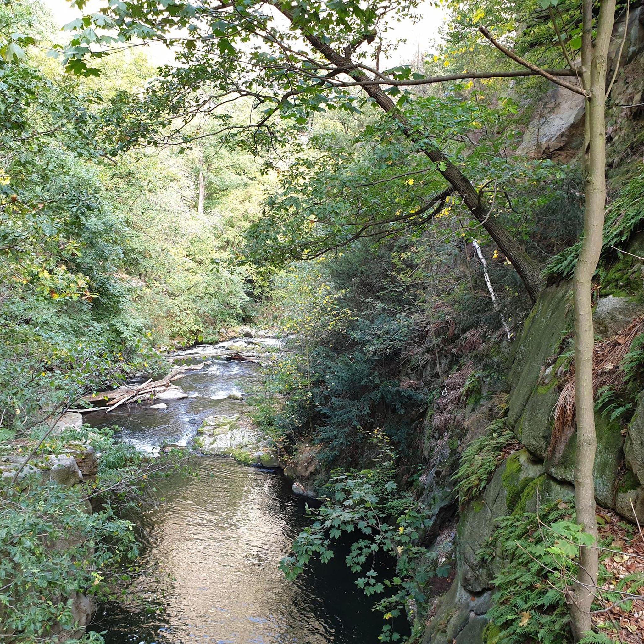
From the bridge you have a great view of the water
0
0
The water breaks on the stones, beautiful to look at
0
0
Beautiful to look at, the river is more than fascinating
0
0
Frequently Asked Questions
How many hiking trails are available around Ballynalougher?
There are over 35 hiking routes around Ballynalougher, offering a diverse range of experiences. These include easy strolls, moderate paths, and some more challenging trails, catering to various fitness levels.
What kind of terrain can I expect on hikes near Ballynalougher?
The terrain around Ballynalougher is incredibly varied, reflecting County Antrim's diverse landscape. You can expect dramatic coastal paths with sea views, clifftop walks, river valleys, and upland trails through the Glens of Antrim. Some routes feature well-maintained woodland paths, while others traverse more open, elevated areas like the Antrim Hills Way, offering panoramic vistas.
Are there any easy or beginner-friendly hiking options in the area?
Yes, Ballynalougher offers many easy hiking options, with 24 routes classified as easy. A great choice for a gentle walk is the Hidden Village of Galboly – Viewpoint Towards Meet loop from Galboly Upper, which is an easy 1.1 miles (1.8 km) path offering scenic viewpoints. Another accessible option is the Cushendall Beach Promenade loop from Cushendall, a 2.2 miles (3.5 km) coastal trail.
Are there any circular walks available around Ballynalougher?
Many of the trails around Ballynalougher are designed as circular routes, allowing you to start and end in the same location. For example, the Inver River Waterfall – View of Glenariff Valley loop from Waterfoot is a moderate 10.1 miles (16.2 km) circular trail that showcases Glenariff Valley and its waterfalls. The Waterfoot Beach – Waterfoot Beach loop from Waterfoot is another easy circular option, perfect for a shorter stroll.
What natural features or landmarks can I see along the hiking trails?
The region is rich in natural beauty and historical sites. You can discover stunning waterfalls like the Inver River Waterfall and Ess-na-Laragh Waterfall. The Cushendun Caves are another unique natural monument to explore. Additionally, the Torr Head Coastal Road offers dramatic sea views and is a highlight in itself.
Are there any hikes suitable for families with children?
Yes, several trails are suitable for families. The easier, shorter routes are generally best for children. The Hidden Village of Galboly loop is a short, easy walk with interesting viewpoints. Coastal promenades like the Cushendall Beach Promenade loop also offer flat, accessible paths for families.
Can I bring my dog on the hiking trails around Ballynalougher?
Many trails in County Antrim are dog-friendly, but it's always recommended to keep dogs on a lead, especially in areas with livestock or wildlife. Forest parks like Glenariff Forest Park, which features a magnificent waterfall walk, often welcome dogs on trails. Always check local signage for specific restrictions on individual routes or protected areas.
What is the best time of year to go hiking in Ballynalougher?
The best time for hiking around Ballynalougher is generally from spring through autumn (April to October) when the weather is milder and daylight hours are longer. Summer offers the warmest temperatures, but spring and autumn provide beautiful scenery with fewer crowds. Be prepared for changeable weather conditions typical of Northern Ireland, regardless of the season.
What do other hikers enjoy most about hiking in Ballynalougher?
The hiking experiences around Ballynalougher are highly rated by the komoot community, with an average score of 4.6 stars from over 170 reviews. Hikers frequently praise the stunning coastal scenery, the unique landscapes of the Glens of Antrim, and the variety of trails that cater to different abilities. The opportunity to explore natural features like waterfalls and historical sites is also a common highlight.
Are there opportunities to see waterfalls on hikes near Ballynalougher?
Absolutely. The region is known for its beautiful waterfalls, particularly within the Glens of Antrim. The Inver River Waterfall – View of Glenariff Valley loop is a prime example, offering views of Glenariff Valley and its cascades. You can also visit specific highlights like the Inver River Waterfall or Cranny Falls directly.
Where can I find information about forest and garden attractions in the area?
For more information on forest parks and gardens in the wider Causeway Coast and Glens area, which includes attractions accessible from Ballynalougher, you can visit the official tourism website: visitcausewaycoastandglens.com. This resource can help you discover additional natural beauty spots.
Most popular routes around Ballynalougher
Most popular attractions around Ballynalougher

Get inspired with the komoot mobile app


Explore more
Browse the best Hikes in other regions.
