The best mountain hikes around Grafenau
4.8
(19)
153
hikers
18
hikes
Mountaineering routes around Grafenau traverse the forested peaks and valleys of the Bavarian Forest, offering varied terrain for ascents. The region is characterized by its dense woodlands, granite formations, and elevated viewpoints. These routes provide access to prominent summits and natural landscapes within the national park area.
Best mountaineering routes around Grafenau
- The most popular mountaineering route is Glass Ark in the Bavarian Forest – Lusen Summit loop from Waldhäuser Wald, a 5.5 miles (8.9 km) trail that takes 2 hours 56 minutes to complete. This difficult route ascends to the Lusen Summit, offering panoramic views of the surrounding forest.
- Another top favourite among local mountaineers is Lusen Shelter – Lusen Summit loop from Waldhäuser Wald, a moderate 5.1 miles (8.2 km) path. This route provides a direct ascent to the Lusen Summit, passing through dense forest.
- Local mountaineers also love the Rachel Summit (Rachel Peak) – Großer Rachel Summit loop from Klingenbrunn, an 8.1 miles (13.1 km) trail leading through the Bavarian Forest National Park, often completed in about 4 hours 29 minutes.
- Mountaineering around Grafenau is defined by forested peaks, granite formations, and elevated viewpoints. The network offers options for various ability levels, from moderate ascents to challenging mountaineering routes.
- The routes in Grafenau are highly rated by the komoot community with an average score of 4.8 stars from over 30 reviews. More than 200 mountaineers have used komoot to explore Grafenau's varied terrain.
Last updated: October 9, 2026
5.0
(3)
24
hikers
8.49km
02:41
320m
320m
Hard mountaineering route. Good fitness required. Sure-footedness, sturdy shoes and alpine experience required.
5.0
(4)
19
hikers
13.1km
04:29
670m
670m
Moderate mountaineering route. Good fitness required. Mostly accessible paths. Sure-footedness required.

9
hikers
9.70km
03:06
320m
320m
Hard mountaineering route. Good fitness required. Sure-footedness, sturdy shoes and alpine experience required.
5.0
(1)
9
hikers
8.33km
02:39
310m
310m
Hard mountaineering route. Good fitness required. Sure-footedness, sturdy shoes and alpine experience required.
5.0
(2)
11
hikers
Moderate mountaineering route. Good fitness required. Easily-accessible paths. Suitable for all skill levels.
Get access to more routes and recommendations from other explorers.
Already have an account?
Our route recommendations are based on thousands of hikes, rides, and runs completed by other people on komoot.
Start today with a free account
Your next adventure awaits.
Popular around Grafenau
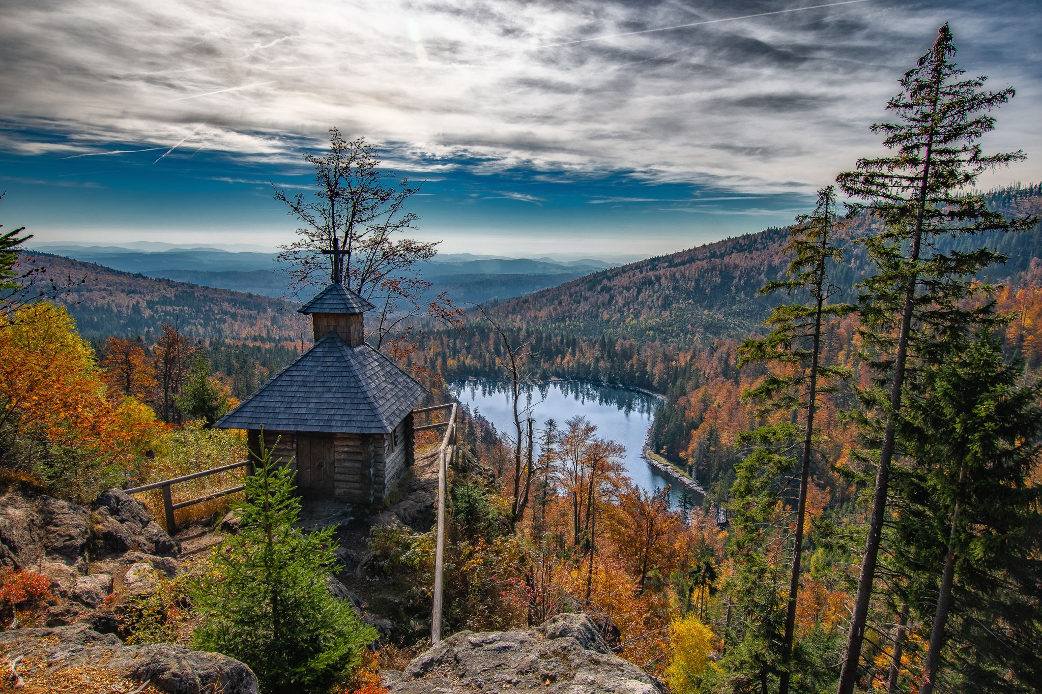
Diverse hiking in the Bavarian Forest National Park
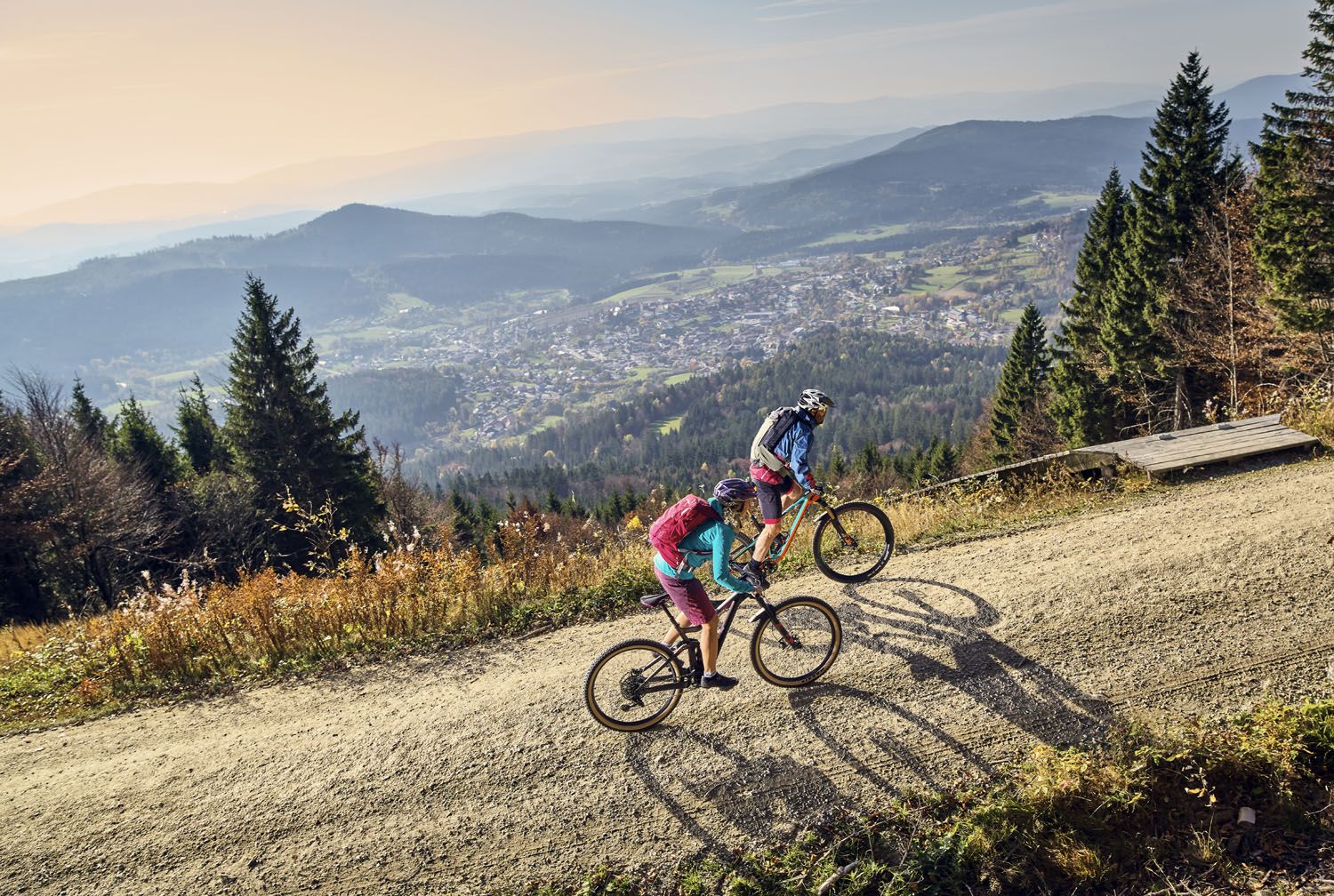
Exciting cycle and (e)-mountain bike Tours in the Bavarian Forest
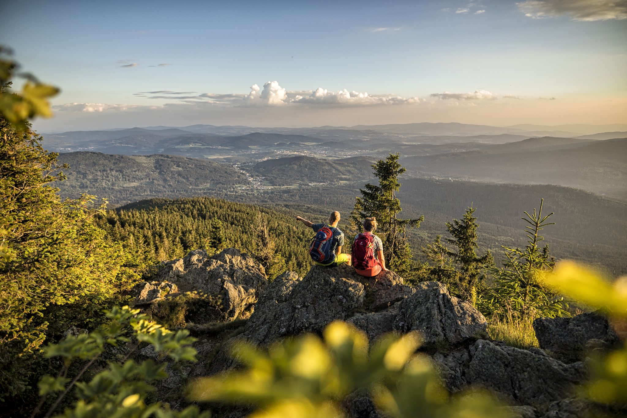
Hiking tips for the Bavarian Forest
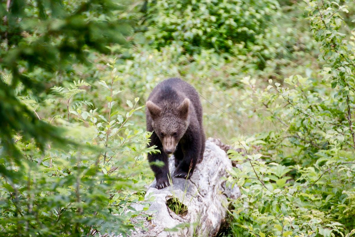
Following animal traces in the Bavarian Forest
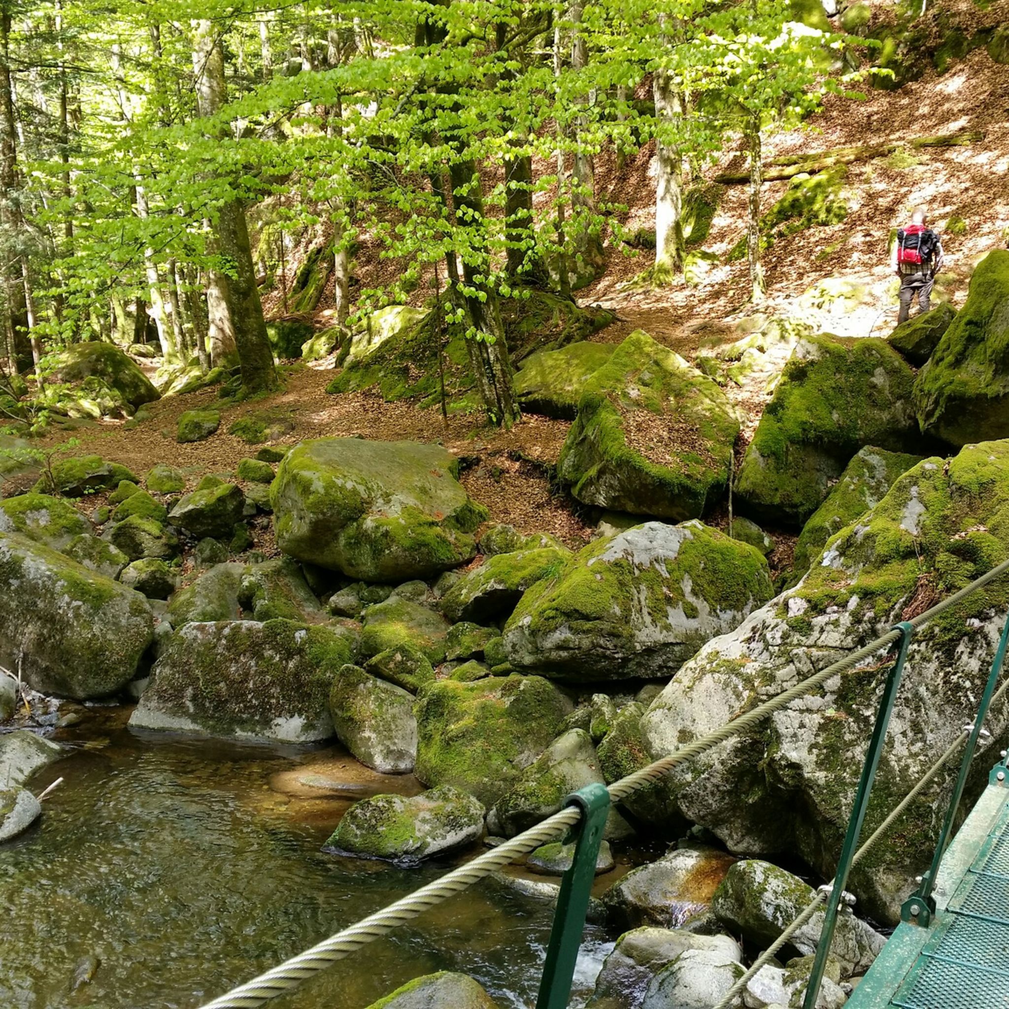
Hiking around Grafenau
Cycling around Grafenau
MTB Trails around Grafenau
Road Cycling Routes around Grafenau
Running Trails around Grafenau

Gravel biking around Grafenau
Other adventures around Grafenau


Tips from the Community

beautiful, strenuous staircase to the Lusen summit
1
0
A highlight in every season
0
0
It's always lovely here.
0
0
very popular photo point
0
0
always nice here
0
0
Frequently Asked Questions
How many mountaineering routes are available around Grafenau?
There are over 20 mountaineering routes around Grafenau listed on komoot, offering a variety of experiences through the Bavarian Forest. These routes are highly rated by the komoot community, with an average score of 4.8 stars from over 30 reviews.
Are there easy mountaineering routes suitable for beginners in Grafenau?
Yes, while many routes are moderate to difficult, there is at least one easy mountaineering route available. For those looking for a gentle introduction to the region's trails, you can find options that traverse less challenging terrain.
What are the most challenging mountaineering routes near Grafenau?
For experienced mountaineers seeking a challenge, Grafenau offers several difficult routes. One such option is the Glass Ark in the Bavarian Forest – Lusen Summit loop from Waldhäuser Wald, which is 8.9 km long and features significant elevation gain. Another demanding route is the Beautiful wooden footbridge – Lusen Summit loop from Waldhäuser Wald, covering nearly 10 km with challenging ascents.
Can I find family-friendly mountaineering options in Grafenau?
While many mountaineering routes in Grafenau are rated moderate to difficult, some shorter, less strenuous paths might be suitable for families with older children or those accustomed to hiking. It's advisable to check the specific route details for distance and elevation before setting out with younger family members.
Are dogs allowed on the mountaineering trails in Grafenau?
The Grafenau area is part of the Bavarian Forest National Park, which generally welcomes dogs on trails, but they must be kept on a leash to protect wildlife. Always check specific trail regulations or local signage, especially in sensitive areas, to ensure a pleasant and responsible outing with your dog.
Are there circular mountaineering routes available?
Yes, many of the mountaineering routes around Grafenau are designed as circular loops, allowing you to start and end at the same point. Examples include the Lusen Shelter – Lusen Summit loop from Waldhäuser Wald and the Rachel Summit (Rachel Peak) – Großer Rachel Summit loop from Klingenbrunn, which offer varied terrain and scenic views.
What is the best time of year for mountaineering in Grafenau?
The best time for mountaineering in Grafenau is typically from late spring through early autumn (May to October), when the weather is milder and trails are clear of snow. During these months, you can fully enjoy the forested landscapes and elevated viewpoints.
What are the winter conditions like for mountaineering in Grafenau?
Winter mountaineering in Grafenau, particularly within the Bavarian Forest National Park, can be challenging due to snow and ice. Many trails may be covered, requiring appropriate winter gear like snowshoes or microspikes. Conditions can change rapidly, so checking local weather and trail reports is essential.
Are there mountaineering routes with good viewpoints in Grafenau?
Absolutely. Many routes in Grafenau lead to prominent summits offering panoramic views of the surrounding Bavarian Forest. The Lusen Summit, for instance, is a popular destination for its expansive vistas, accessible via routes like the Glass Ark in the Bavarian Forest – Lusen Summit loop.
What interesting landmarks or attractions can I find near the mountaineering routes?
The region around Grafenau offers several natural and historical points of interest. You might encounter unique rock formations like Diebstein or explore the Buchberger Leite Rock Tunnel. The area also features serene spots like the Little stone chapel, adding cultural interest to your mountaineering adventure.
Is public transport available to access mountaineering trailheads in Grafenau?
Public transport options to specific trailheads within the Bavarian Forest National Park can be limited, especially for more remote starting points. While some villages might be accessible by bus, it's often more convenient to reach trailheads by car. Always check local bus schedules in advance if you plan to rely on public transport.
Are there multi-day mountaineering options in Grafenau?
While the listed routes are primarily day trips, the extensive network of trails in the Bavarian Forest National Park allows for combining shorter routes into longer, multi-day adventures. You would need to plan your own itinerary, including accommodation or camping options, as specific multi-day mountaineering tours are not explicitly detailed here.
Most popular routes around Grafenau
Most popular attractions around Grafenau

Get inspired with the komoot mobile app


Explore more
Browse the best Mountain Hikes & Routes in other regions.
