The best mountain hikes around Grafling
4.9
(8)
103
hikers
24
hikes
Mountaineering routes around Grafling are situated in the district of Deggendorf, Germany, at the foot of the Bavarian Forest. The region features a varied terrain of rolling hills, dense forests, and several notable peaks. This geographical setting provides an ideal environment for mountain hiking, with routes leading through diverse landscapes and offering significant elevation changes. The area includes some of the highest peaks in the Deggendorf region, characterized by forest paths and open summit views.
Best mountaineering routes around Grafling
- The most popular mountaineering route is Breitenauerriegel Summit Cross – Geißkopf Summit (1,097 m) loop from Arzting, a 9.9 miles (15.9 km) trail that takes 5 hours 5 minutes to complete. This difficult route offers challenging ascents and rewarding views from the summits.
- Another top favourite among local mountaineers is Klausenstein Summit Cross – Hirschenstein loop from Naturpark Bayerischer Wald, a moderate 5.9 miles (9.4 km) path. This route traverses varied terrain, providing engaging climbs and scenic forest sections.
- Local mountaineers also love the Dreitannenriegel Summit – Dreitannenriegel Summit Cross loop from Schwallwiese, a 3.2 miles (5.2 km) trail leading through dense forest and offering wonderful views from the Dreitannenriegel Summit, often completed in about 2 hours 2 minutes.
- Mountaineering around Grafling is defined by the dense forests of the Bavarian Forest, rolling hills, and accessible peaks like Dreitannenriegel and Geißkopf. The network offers options for various ability levels, from moderate climbs to more demanding ascents.
- The routes in Grafling are highly rated by the komoot community with an average score of 5.0 stars from over 6 reviews. More than 120 mountaineers have used komoot to explore Grafling's varied terrain.
Last updated: October 9, 2026
4
hikers
16.0km
05:07
550m
550m
Hard mountaineering route. Very good fitness required. Mostly accessible paths. Sure-footedness required.
8
hikers
Moderate mountaineering route. Good fitness required. Mostly accessible paths. Sure-footedness required.

5.0
(1)
14
hikers
Moderate mountaineering route. Good fitness required. Easily-accessible paths. Suitable for all skill levels.
6
hikers
Moderate mountaineering route. Good fitness required. Mostly accessible paths. Sure-footedness required.
5.0
(1)
8
hikers
Moderate mountaineering route. Great for any fitness level. Mostly accessible paths. Sure-footedness required.
Get access to more routes and recommendations from other explorers.
Already have an account?
Our route recommendations are based on thousands of hikes, rides, and runs completed by other people on komoot.
Start today with a free account
Your next adventure awaits.
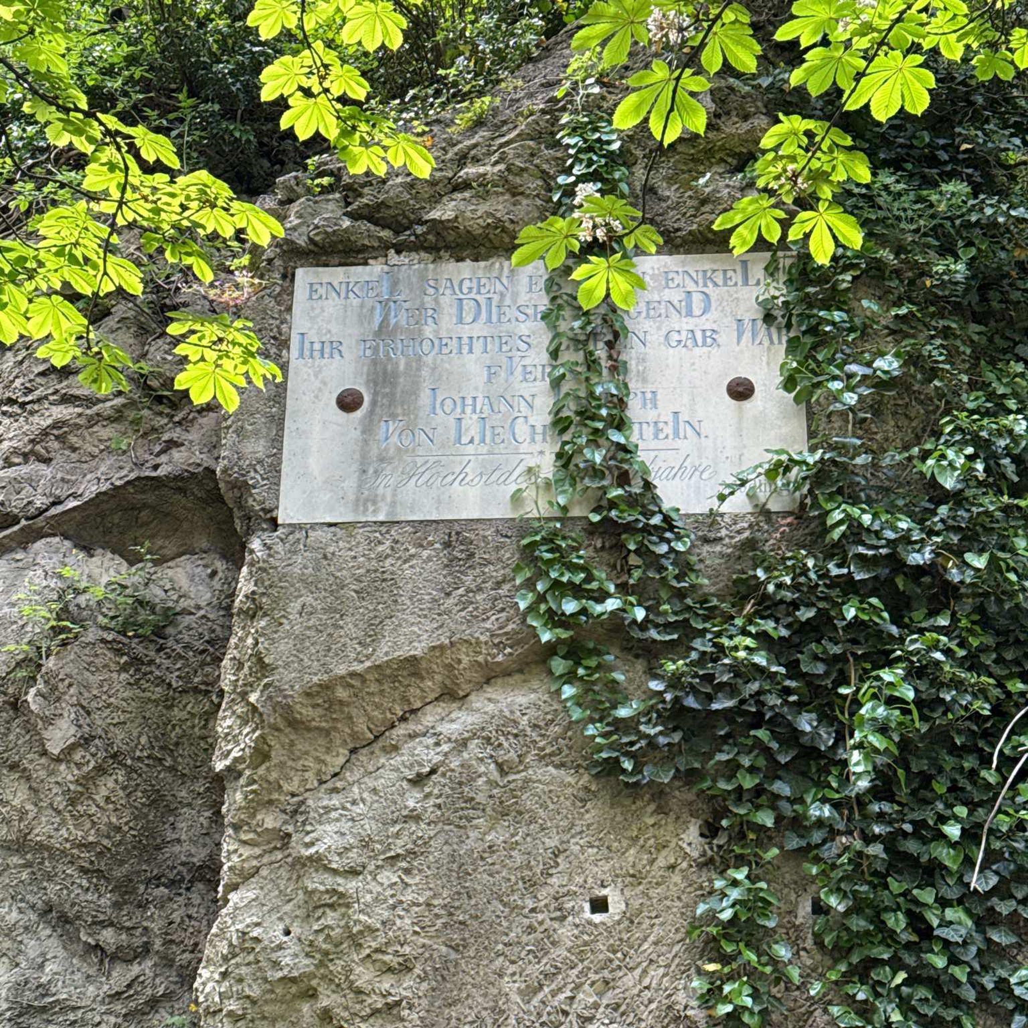
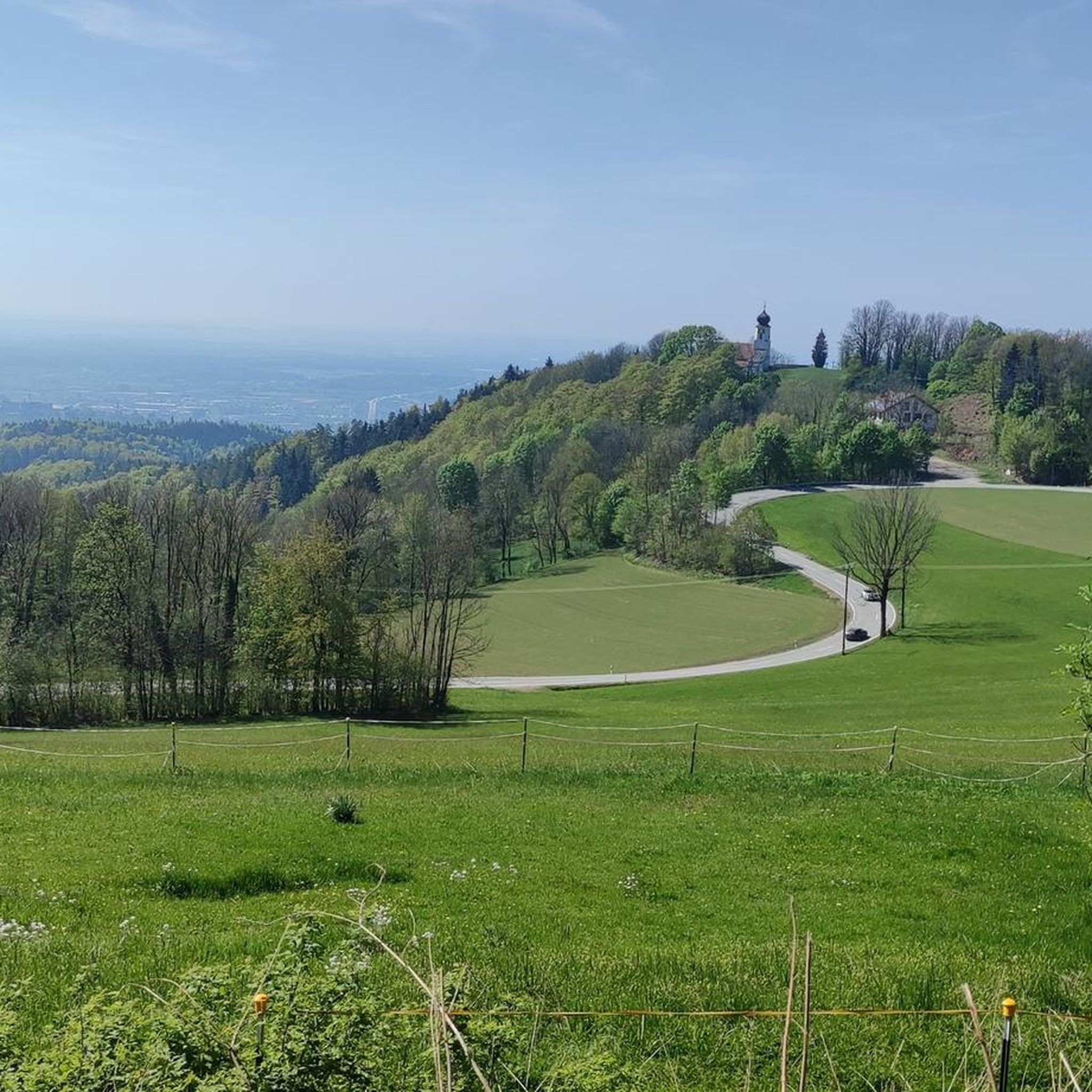
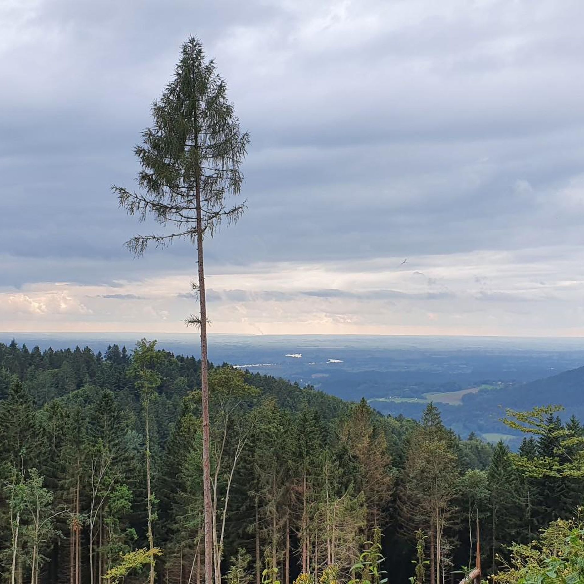
Other adventures around Grafling

Tips from the Community

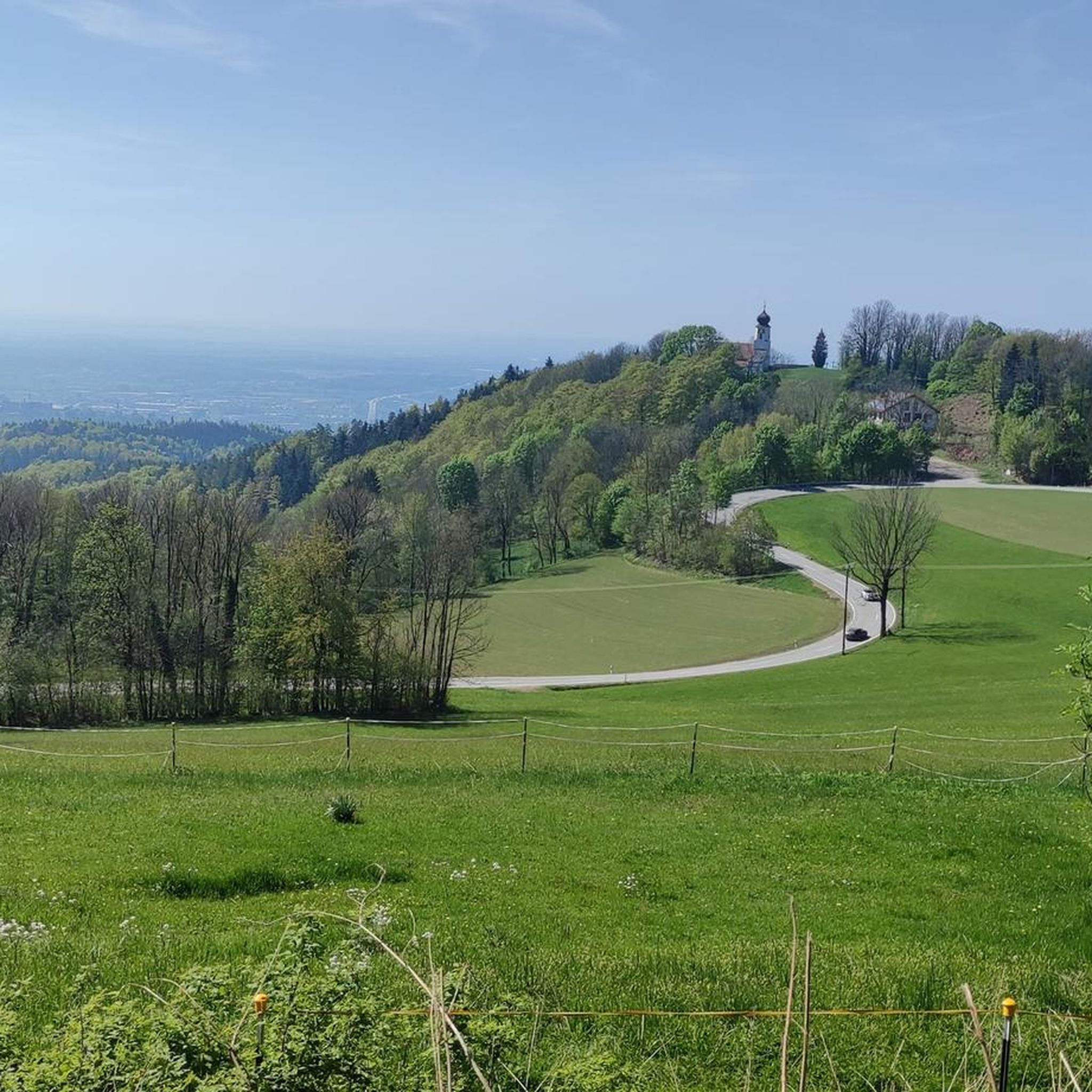
Beautiful viewpoint with a view into the Danube plain.
1
0

There are plenty of parking spaces, so it's a good starting point for a hike in the Bavarian Forest.
5
0

In winter, Kalteck was a local ski resort with two drag lifts operating on three ski slopes.
2
0
Small "rocky" shelter between Rauhen Kulm and Klausenstein.
3
0


If the weather is good, there is a great view of the region. Partly steep climb from Böbrach.
0
0

Be sure to climb the observation tower!
3
0

The wooden hand. There are several stories about it. Now the question is which is the right one?
1
0
Frequently Asked Questions
How many mountaineering routes are available in the Grafling area?
The Grafling region offers a diverse selection of over 25 mountaineering routes. These trails cater to various skill levels, from moderate climbs to more demanding ascents, all set within the picturesque Bavarian Forest.
What are the typical difficulty levels for mountaineering routes around Grafling?
Mountaineering routes in Grafling range from moderate to difficult. While there are 23 moderate routes, offering engaging climbs and scenic forest sections, there are also 4 difficult routes for those seeking more challenging ascents and significant elevation changes. Only one route is classified as easy, making most suitable for those with some hiking experience.
What kind of terrain can I expect on mountaineering routes in Grafling?
The terrain around Grafling is quite varied, characterized by rolling hills, dense forests, and accessible peaks. You'll often find yourself on forest paths, leading to open summit views. Routes like the Klausenstein Summit Cross – Hirschenstein loop traverse varied landscapes, providing a mix of forest and more open sections.
When is the best time of year to go mountaineering in Grafling?
The best seasons for mountaineering in Grafling are generally spring and autumn. During these times, the weather is mild, and the natural scenery is particularly vibrant. While summer can be warm, winter transforms the area, making it more suitable for skiing and snowboarding rather than mountaineering.
Are there any circular mountaineering routes in Grafling?
Yes, many of the mountaineering routes in Grafling are designed as circular hikes, allowing you to start and end at the same point. For example, the Dreitannenriegel Summit – Dreitannenriegel Summit Cross loop from Schwallwiese is a popular circular option, offering wonderful views from the summit.
Are there any viewpoints or landmarks along the mountaineering trails?
Absolutely! The region is rich with viewpoints and landmarks. You can find the Hirschenstein viewpoint, the Klausenstein Summit Cross, and the Knogl summit cross. Many routes lead to these scenic spots, offering rewarding panoramic views of the Bavarian Forest.
Are there any family-friendly mountaineering routes in Grafling?
While many routes involve significant elevation changes, some trails are less strenuous and can be suitable for families with good fitness. The Kalteck Ski Lift – Rauher Kulm Viewpoint loop from Naturpark Bayerischer Wald is a shorter, moderate option that could be considered for families looking for a quicker hike with good views.
Are dogs allowed on the mountaineering routes in Grafling?
Generally, dogs are welcome on most hiking and mountaineering trails in the Grafling region, especially within the Bavarian Forest. However, it's always advisable to keep them on a leash, especially in nature reserve areas or near livestock, and to ensure they are well-behaved and don't disturb wildlife or other hikers.
Are there opportunities for refreshments or places to rest along the trails?
Yes, several routes offer opportunities for refreshments. For instance, the Dreitannenriegel Summit, a key feature of the Dreitannenriegel Summit – Dreitannenriegel Summit Cross loop, has the Landshuter House nearby, providing a place to rest and refuel. You might also find other huts or shelters like the Schuhfleck Shelter along various paths.
What do other mountaineers enjoy most about the routes in Grafling?
The mountaineering routes in Grafling are highly rated by the komoot community, with an average score of 5.0 stars. Reviewers often praise the varied terrain, the challenging ascents leading to rewarding views, and the dense, beautiful forests of the Bavarian Forest. The well-maintained paths and the sense of adventure are frequently highlighted.
Are there any less crowded mountaineering routes in Grafling?
While some routes, especially those leading to popular summits like Geißkopf or Dreitannenriegel, can see more traffic, exploring routes slightly off the main paths or during off-peak hours (early morning, weekdays) can offer a more tranquil experience. The region has enough trails that you can often find quieter sections, particularly on longer, moderate routes like the Breitenauriegel Summit – Geißkopf Summit and Bike Park loop from Ruselabsatz.
What other activities can I do in the Grafling area besides mountaineering?
Beyond mountaineering, Grafling and its surroundings offer a range of activities. You can visit the Geißkopf Summit and Bike Park for mountain biking, explore the Waldwipfelweg treetop walk in Sankt Englmar, or discover the historic Egg Castle. The Danube Cycle Path also provides a gentler way to experience the region's natural beauty.
Most popular routes around Grafling
Most popular attractions around Grafling

Get inspired with the komoot mobile app


Explore more
Browse the best Mountain Hikes & Routes in other regions.
