The best mountain hikes around Ratshausen
5.0
(1)
14
hikers
2
hikes
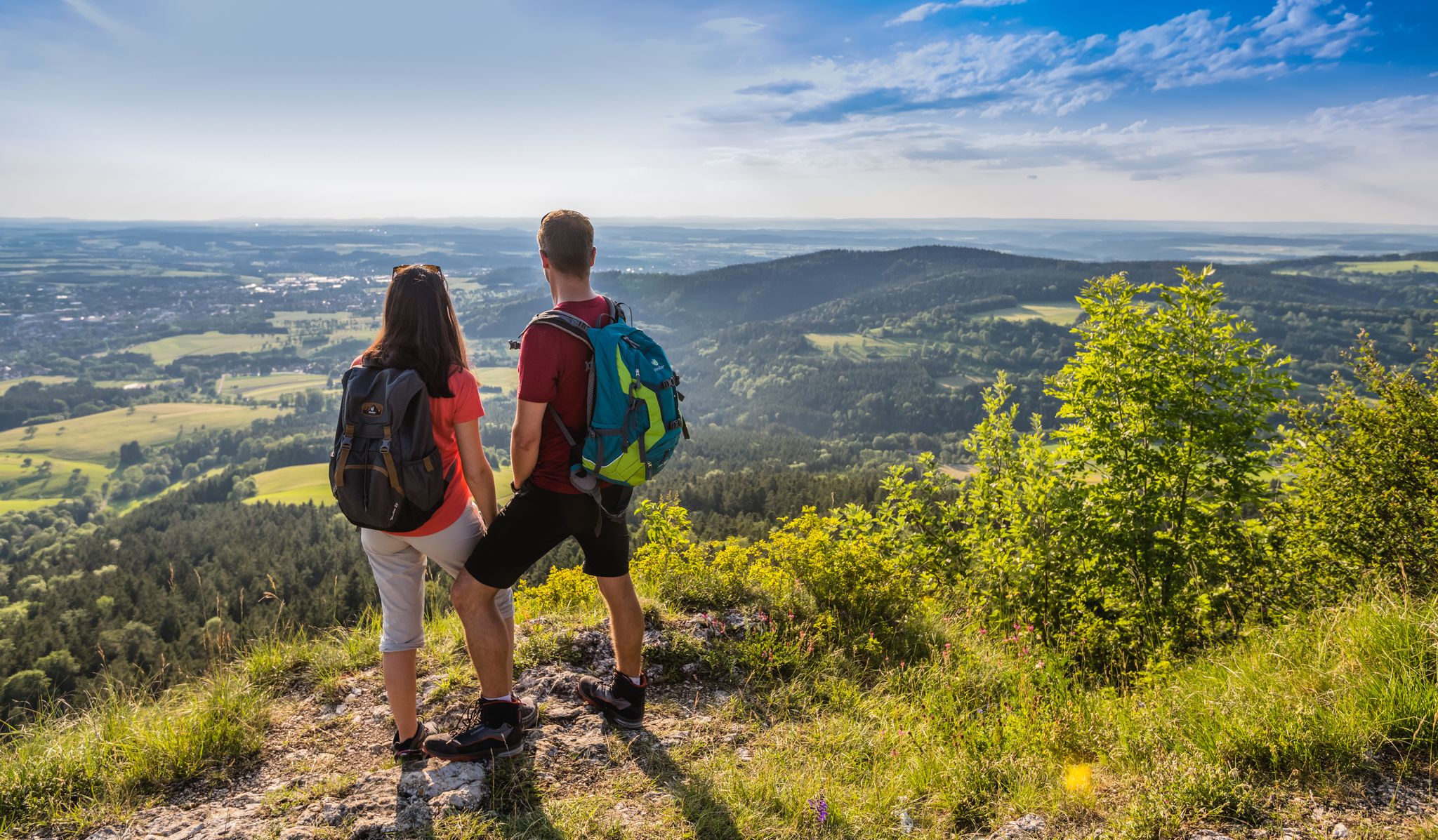
Mountaineering around Ratshausen offers routes through the varied landscape of the Zollernalbkreis region. This area is characterized by its rolling hills, dense forests, and notable geological features such as the "Split Rock" and prominent peaks like the Heimberg (888 m). The routes often traverse parts of the Naturpark Obere Donau, providing diverse terrain for exploration.
Best mountaineering routes around Ratshausen
- The most popular mountaineering route is Behind the Heimberg (888 m) – Gräbelesberg loop from Dobelwiesen, a 5.5 miles…
Last updated: May 20, 2026
2
hikers
10.6km
03:12
280m
280m
Moderate mountaineering route. Good fitness required. Mostly accessible paths. Sure-footedness required.
1
hikers
14.0km
04:29
580m
580m
Moderate mountaineering route. Good fitness required. Mostly accessible paths. Sure-footedness required.
Our route recommendations are based on thousands of hikes, rides, and runs completed by other people on komoot.
Start today with a free account
Your next adventure awaits.
Login or Signup

Other adventures around Ratshausen

Tips from the Community

The St. Nicholas Chapel on Oberhohenberg is a small, beautifully situated place of worship and chapel steeped in history, serving both hikers and the local parish. The St. Nicholas Chapel was first documented in 1563 and was originally a chapel belonging to Hohenberg Castle on Oberhohenberg. It was demolished in 1815 due to its dilapidated condition. In 2017-2018, it was rebuilt and lovingly restored by dedicated citizens of Schörzingen and reopened in 2018.
6
0

The split rock is not here! About 1000m to the west!
0
0
A mouse as a highlight🙈🙈 It's getting better and better😬
0
0

A very beautiful sight
1
1
A very nice view
1
1
A very beautiful sight
1
1
Frequently Asked Questions
What is the general difficulty level of mountaineering routes around Ratshausen?
The mountaineering routes in the Ratshausen area are predominantly rated as moderate. This means they are suitable for hikers with a good basic fitness level and some experience in varied terrain. There are no routes classified as easy or difficult in the current selection, offering a consistent challenge for most.
Are there any circular mountaineering routes available near Ratshausen?
Yes, many of the mountaineering routes around Ratshausen are designed as circular tours, allowing you to start and end at the same point. For example, you can explore the Behind the Heimberg (888 m) – Gräbelesberg loop from Dobelwiesen, which offers scenic views around two significant hills.
What are some family-friendly mountaineering options in the Ratshausen region?
For families looking for a manageable mountaineering experience, the Meadow in Naturpark Obere Donau – Split Rock on Schafberg loop from Schafberg-Lochenstein is a great choice. It's a moderate 4.3 km path that leads through the natural park and features the distinctive Split Rock on Schafberg, making it an engaging adventure for active families.
What kind of scenic viewpoints can I expect on mountaineering routes near Ratshausen?
The routes around Ratshausen offer diverse scenic viewpoints, often featuring panoramic vistas of the Zollernalbkreis region's rolling hills and dense forests. A notable route for views is the Split Rock – View of Hohenzollern Castle loop from Schafberg-Lochenstein, which provides impressive sights including the iconic Hohenzollern Castle.
Are there any waterfalls or caves to explore near the mountaineering trails?
Absolutely! The region around Ratshausen is rich in natural attractions. You can find several waterfalls, such as the impressive Zillhausen Waterfall or the Eyach Waterfall at Balingen Castle. For those interested in caves, the Karstloch Cave and Wenzelstein and the Wenzelstein Cave are nearby points of interest.
How long do mountaineering routes typically take around Ratshausen?
The duration of mountaineering routes in Ratshausen varies depending on the trail and your pace. For instance, the Behind the Heimberg (888 m) – Gräbelesberg loop from Dobelwiesen typically takes around 2 hours 42 minutes, while longer routes like the Schörzinger Hut – Lemberg Tower loop from Deilingen can take about 3 hours 12 minutes.
What is the best time of year for mountaineering in Ratshausen?
The best time for mountaineering around Ratshausen is generally from spring through autumn (April to October). During these months, the weather is typically mild, and the trails are clear, offering pleasant conditions to enjoy the region's forests and geological features. Autumn also brings beautiful fall foliage.
What are the winter conditions like for mountaineering in Ratshausen?
Winter mountaineering in Ratshausen can be challenging. While the region experiences snow, especially at higher elevations like the Heimberg, trails can become icy or covered with deep snow. It's advisable to check local weather forecasts and trail conditions before heading out and to be equipped with appropriate winter gear, such as microspikes or snowshoes, if attempting routes in snowy conditions.
Are there any routes that connect to mountain huts or towers?
Yes, some routes offer the chance to visit interesting landmarks like mountain huts or observation towers. The Schörzinger Hut – Lemberg Tower loop from Deilingen is a great example, leading through forested areas and connecting a mountain hut with a prominent tower, offering a rewarding destination during your hike.
How many mountaineering routes are available in the Ratshausen area?
There are several dedicated mountaineering routes around Ratshausen, with at least 3 distinct tours currently highlighted. These routes offer a variety of distances and experiences within the moderate difficulty range, allowing you to explore the diverse landscape of the Zollernalbkreis region.
What do other mountaineers say about the routes in Ratshausen?
The mountaineering routes in Ratshausen are highly regarded by the komoot community, holding an average rating of 5.0 stars. Users often praise the varied terrain, the natural beauty of the Naturpark Obere Donau, and the well-maintained paths that lead to unique geological features like the Split Rock.
Are there any hidden gems or less-traveled routes for mountaineering near Ratshausen?
While the main routes are popular for good reason, the extensive network of trails in the Naturpark Obere Donau means there are always opportunities to discover quieter paths. Exploring areas slightly off the most frequented trails, particularly those leading to less-known highlights like the Hollow Oven cave, can offer a more secluded experience.
Most popular routes around Ratshausen
Most popular attractions around Ratshausen

Get inspired with the komoot mobile app


Explore more
Browse the best Mountain Hikes & Routes in other regions.
