The best mountain hikes around Hülben
3.0
(2)
37
hikers
11
hikes
Mountaineering around Hülben, situated on the Swabian Alb plateau at elevations up to 731 meters, offers diverse and challenging terrain. The region features a landscape of green meadows, gentle hills, and plateaus, interspersed with rugged formations. Steep cliffs, sharp ridges, and unusual rock formations characterize the area, providing varied opportunities for exploration.
Best mountaineering routes around Hülben
- The most popular mountaineering route is Urach Waterfall – Brühlbach Stream Trail loop from Bad Urach Wasserfall, a 4.0 miles (6.5 km)…
Last updated: July 15, 2026
1.0
(1)
11
hikers
7.39km
02:15
250m
250m
Moderate mountaineering route. Good fitness required. Easily-accessible paths. Suitable for all skill levels.
2
hikers
Hard mountaineering route. Good fitness required. Sure-footedness, sturdy shoes and alpine experience required.

Sign up for free
4
hikers
17.6km
05:45
720m
720m
Hard mountaineering route. Very good fitness required. Mostly accessible paths. Sure-footedness required.
5.0
(1)
6
hikers
2.82km
00:55
140m
140m
Easy mountaineering route. Great for any fitness level. Easily-accessible paths. Suitable for all skill levels.
5
hikers
12.6km
04:31
650m
650m
Moderate mountaineering route. Good fitness required. Mostly accessible paths. Sure-footedness required.
Get access to more routes and recommendations from other explorers.
Sign up for free
Already have an account?
Our route recommendations are based on thousands of hikes, rides, and runs completed by other people on komoot.
Start today with a free account
Your next adventure awaits.
Login or Signup

Tips from the Community

On beautiful hiking trails to the Höllenlöcher - Near Dettingen an der Erms - LKR. Reutlingen
0
0


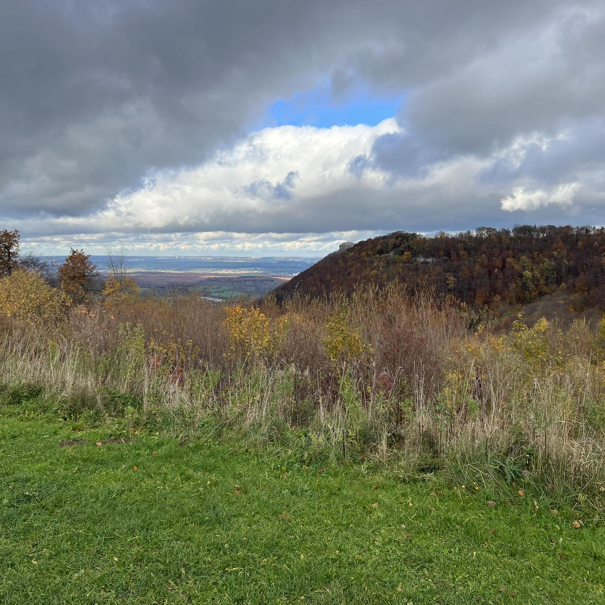
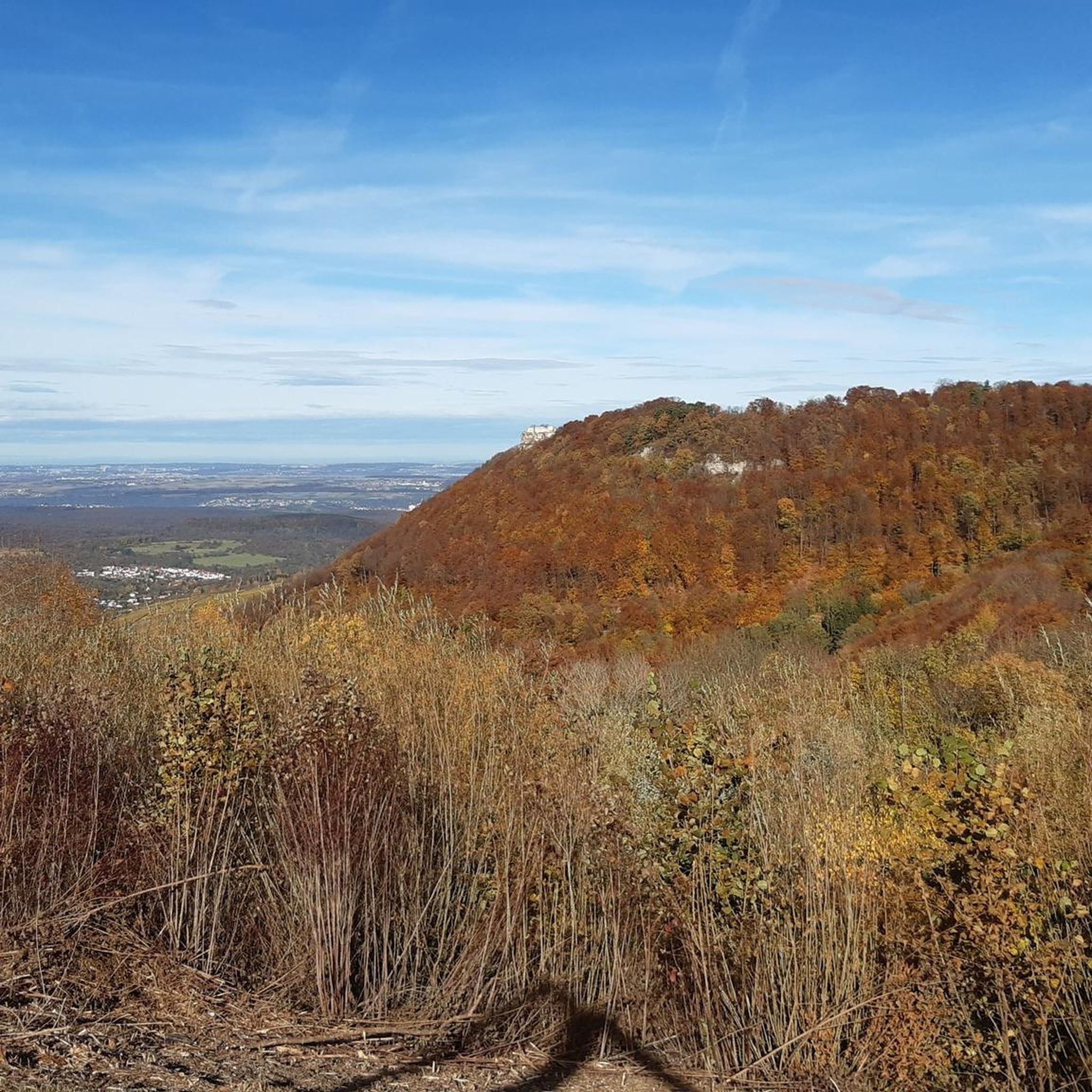
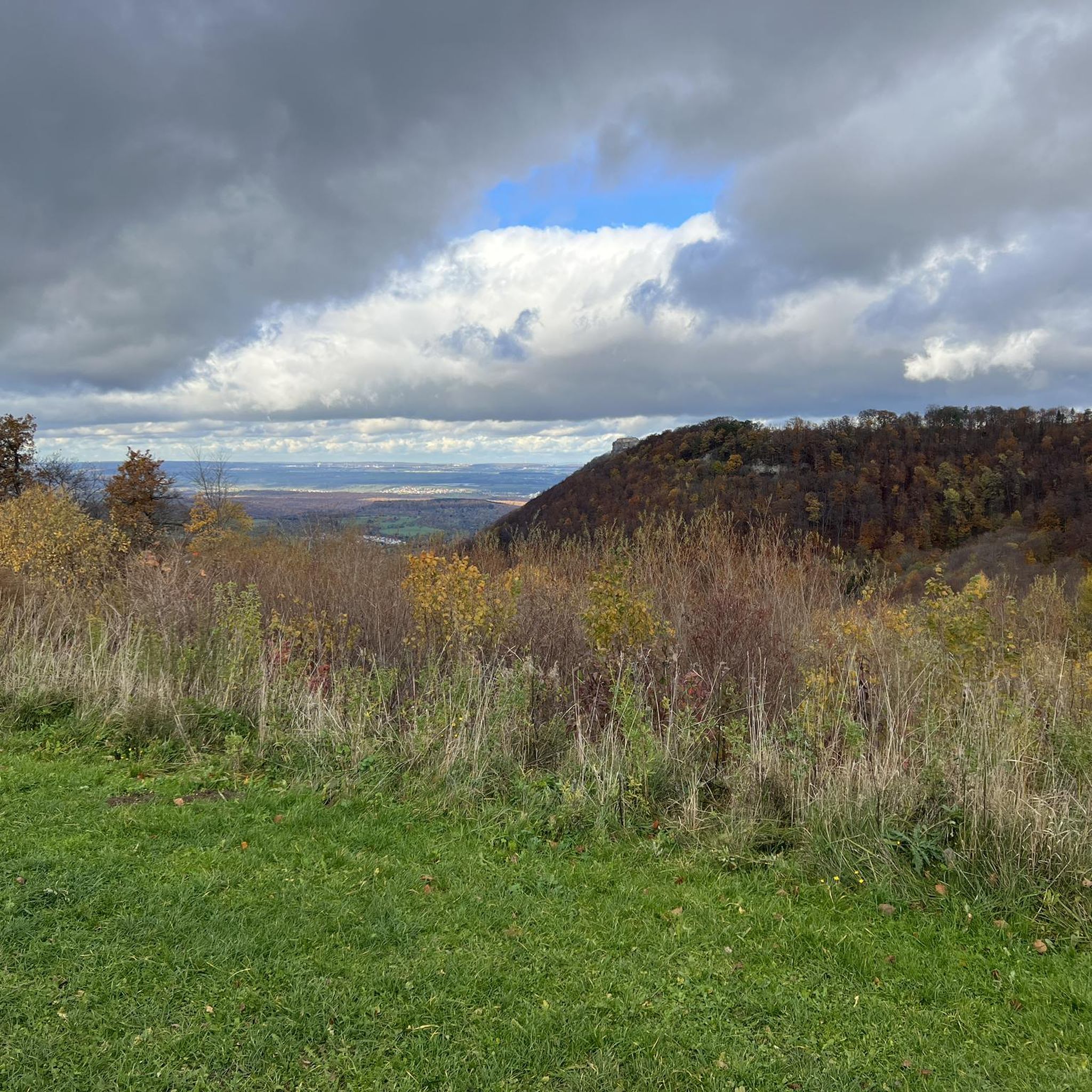
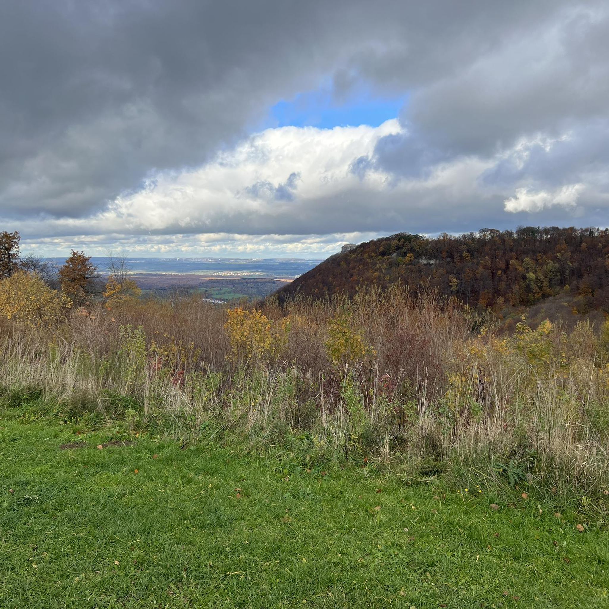
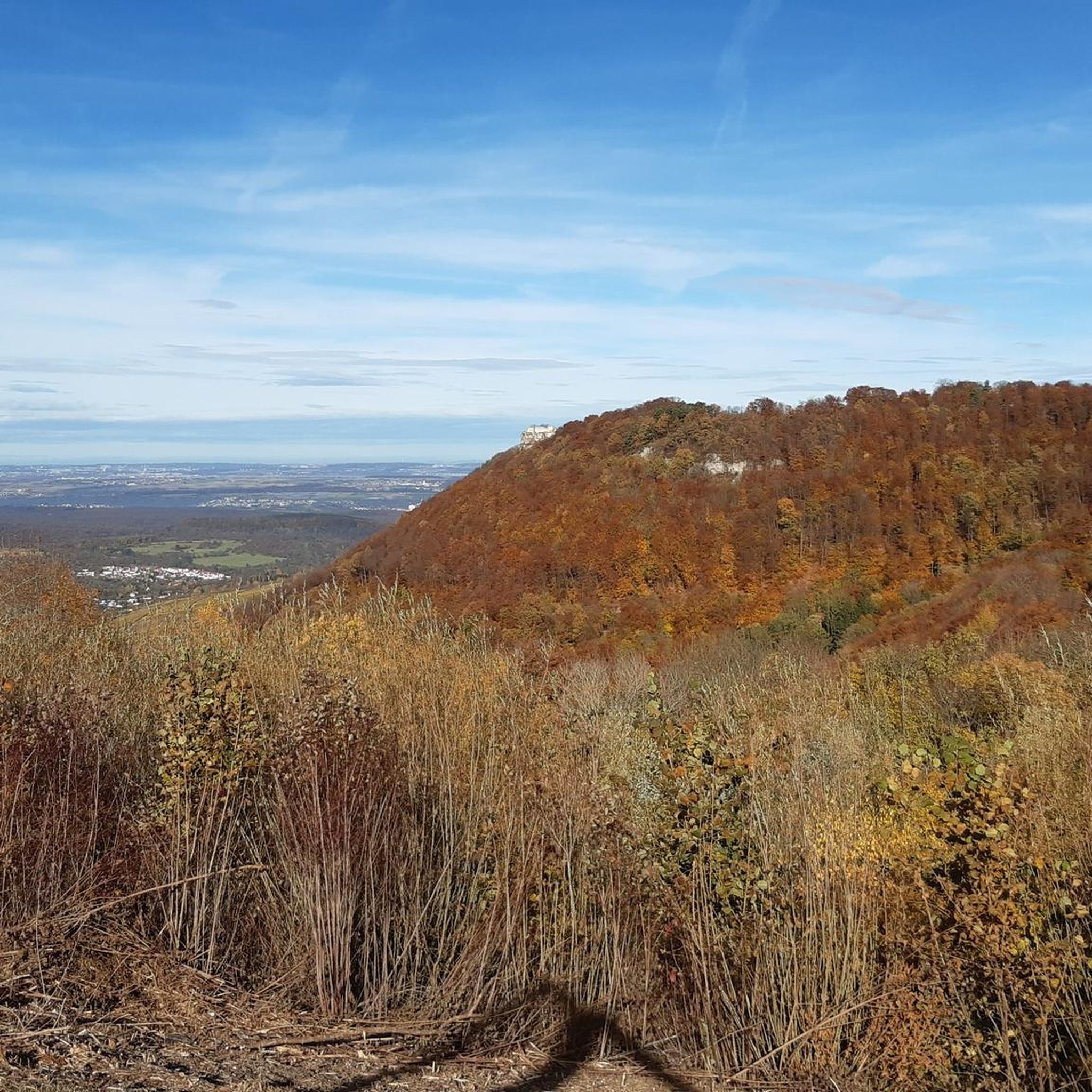
Somewhat remote, unmarked viewpoint, which can be reached via a small path and offers a good view from the edge of the Albtrauf.
5
0
Memorial stone for a tragic incident resulting in death on September 9, 2012. The stone stands a little way from the airfield near the Olgafelsen.
5
0
The French term "casemate" describes massive vaults within fortifications. Casemates were usually hidden inside ramparts and consisted of masonry walls or earthen mounds. They were intended to protect against artillery attacks and, in turn, allowed the installation of heavy guns. Such casemates with guns are also found in the high rampart wall of Hohenneuffen.
4
0

On weekends we serve coffee and cake, and home-cooked meals.
1
0

The Hohen Neuffen is worth seeing and there is a lot to explore.
1
1
Beautiful view of Dettingen an der Erms and the surrounding area 🤩 💪🏻👍🏻
1
0
Frequently Asked Questions
How many mountaineering routes are available around Hülben?
There are over 10 distinct mountaineering routes around Hülben, offering a variety of experiences across different difficulty levels. You'll find options ranging from easy strolls to challenging ascents.
Are there any easy mountaineering routes suitable for beginners or families?
Yes, Hülben offers several easy routes. For a gentle introduction to the area's natural beauty, consider the Teckberg loop from Owen, which is relatively short and features manageable elevation changes. Another easy option is the Urach Waterfall – Brühlbach Stream Trail loop from Bad Urach Wasserfall, which explores the impressive Urach Waterfall.
What kind of natural features can I expect to see on mountaineering routes near Hülben?
The region is rich in natural wonders. You can explore the multi-tiered Urach Waterfall, one of Germany's highest outside the Alps, or discover the unique Wolfsschlucht Gorge. The landscape also features dramatic cliffs, sharp ridges, and distinctive rock formations characteristic of the Swabian Alb plateau.
Are there any routes that include historical sites or castles?
Absolutely. Many routes combine natural beauty with historical intrigue. The challenging Hohenurach Castle Ruins – View from the Rutschenfelsen loop from Bad Urach Wasserfall takes you past the extensive Hohenurach Castle Ruins. Another route, the Beurener Fels Viewpoint – Hohenneuffen Castle loop from Beuren, leads to the impressive Hohenneuffen Castle.
Are there any circular mountaineering routes around Hülben?
Yes, many of the routes around Hülben are designed as loops, allowing you to start and end at the same point. Examples include the Teckberg loop from Owen and the Beurener Fels Viewpoint – Hohenneuffen Castle loop from Beuren, offering convenient exploration without backtracking.
What is the best time of year for mountaineering in Hülben?
Hülben offers appeal throughout the year. Spring and autumn provide pleasant temperatures and vibrant scenery, with the Urach Waterfall being particularly impressive after snowmelt or heavy rain. While winter mountaineering is possible, some trails might be more challenging due to snow or ice, so checking conditions beforehand is advisable.
Are there any moderate or challenging routes for experienced mountaineers?
Yes, for those seeking a more strenuous experience, Hülben has several challenging options. The Beurener Fels Viewpoint – Hohenneuffen Castle loop from Beuren is a difficult route with significant elevation gain, often taking nearly six hours to complete. The Calverbühl – Rossfels loop from Dettingen Erms Freibad offers a moderate challenge with varied terrain.
What do other mountaineers say about the routes in Hülben?
The mountaineering routes in Hülben are highly regarded by the komoot community, holding an average rating of 5.0 stars. Users often praise the diverse terrain, the stunning views from viewpoints like Rutschenfelsen, and the combination of natural beauty with historical sites like the Hohenurach Castle Ruins.
Are the mountaineering trails around Hülben dog-friendly?
Generally, the trails in the Hülben region are suitable for dogs, but it's always recommended to keep your dog on a leash, especially in nature reserves or areas with wildlife. Some routes may feature steep sections or rocky paths, so consider your dog's fitness and comfort level.
Where can I find parking for mountaineering routes near Hülben?
Many popular starting points for routes, such as those near Bad Urach Wasserfall or Beuren, offer designated parking areas. It's advisable to check the specific route details on komoot for information on parking availability at the trailhead you plan to use.
Are there any unique natural features or 'hidden gems' to discover?
Beyond the well-known waterfalls and cliffs, Hülben is home to several 'Hülben' – natural or artificial ponds that collect water, like the Entenhülbe. These serve as valuable biotopes and offer tranquil spots along some hiking routes. The region also features a small dripstone cave directly under a state road at the entrance to Hülben, occasionally open for exploration.
Can I access mountaineering routes around Hülben using public transport?
While specific public transport connections vary by trailhead, Hülben and nearby towns like Bad Urach are generally accessible by public transport. Checking local bus and train schedules to the nearest starting points for your chosen route is recommended for planning your journey.
Most popular routes around Hülben
Most popular attractions around Hülben

Get inspired with the komoot mobile app


Explore more
Browse the best Mountain Hikes & Routes in other regions.
