The best running trails around Hoßkirch
4.6
(327)
2,831
runners
348
runs
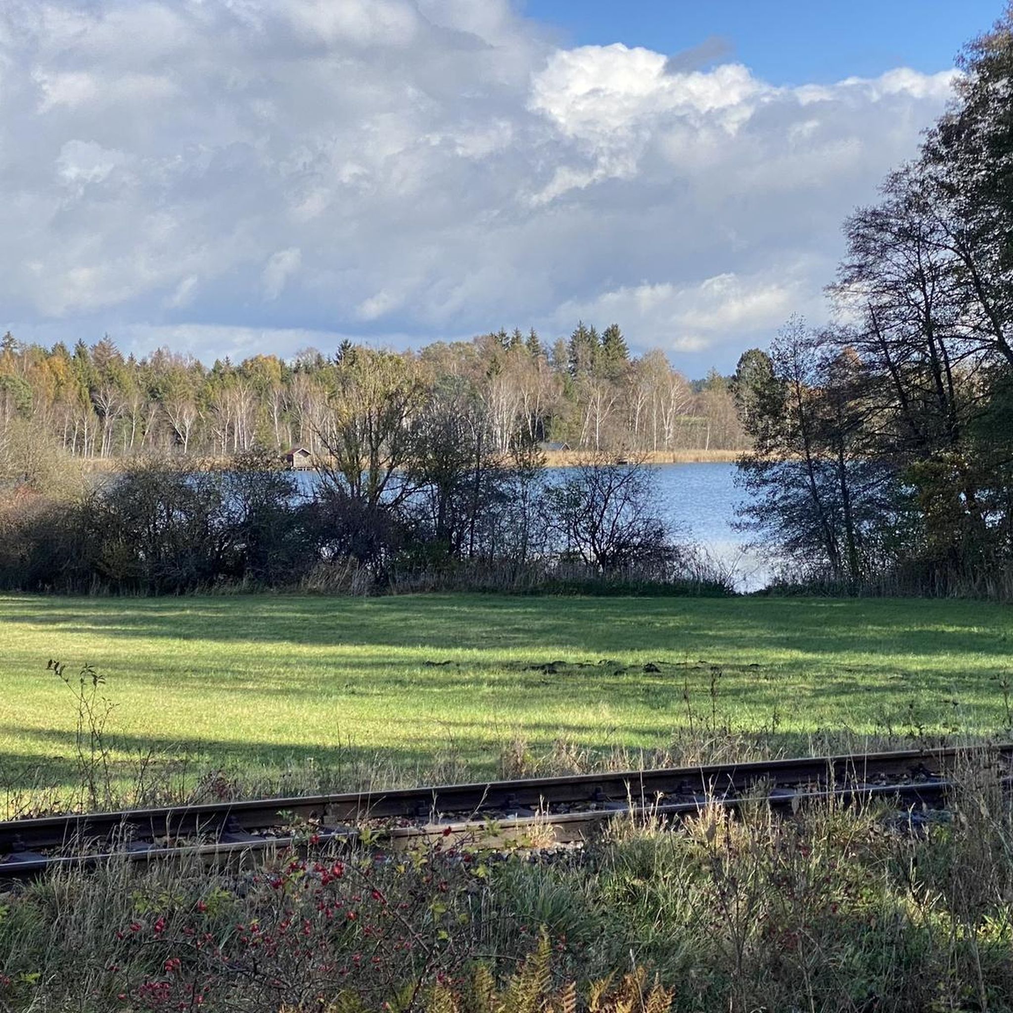
Jogging routes around Hoßkirch traverse a landscape characterized by rolling hills and wide fields, offering diverse terrain for runners. The region features the Hossiwald forest with its well-marked trails, providing a refreshing environment for running. The clear course of the River Schussen offers flatter, more leisurely routes, while local lakes like Königseggsee and Hosskircher See present scenic loops.
Best jogging routes around Hoßkirch
- The most popular jogging route is Goller Observation Tower – Härle's Farm Café loop from Königseggwald,…
Last updated: October 7, 2026
4.8
(4)
33
runners
8.21km
00:51
50m
50m
Moderate run. Good fitness required. Mostly paved surfaces. Suitable for all skill levels.
5.0
(2)
10
runners
9.16km
00:59
120m
120m
Moderate run. Good fitness required. Mostly paved surfaces. Suitable for all skill levels.

7
runners
13.5km
01:24
80m
80m
Moderate run. Good fitness required. Mostly paved surfaces. Suitable for all skill levels.
4
runners
8.37km
00:53
70m
70m
Moderate run. Good fitness required. Mostly paved surfaces. Suitable for all skill levels.
4
runners
8.02km
00:50
60m
60m
Moderate run. Good fitness required. Mostly paved surfaces. Suitable for all skill levels.
Get access to more routes and recommendations from other explorers.
Already have an account?
Our route recommendations are based on thousands of hikes, rides, and runs completed by other people on komoot.
Start today with a free account
Your next adventure awaits.
Tips from the Community

A really beautiful piece of nature.
0
0

Very tasty food and after swimming you can play a bit of volleyball
0
0

There's a cool outdoor pool and a delicious beer there too, can really be recommended 👍👍👍
0
0

The Pfrunger-Burgweiler Ried (formerly Pfrunger Ried), with its 2,600 hectares, is the second largest contiguous moorland in southwest Germany after the Federsee. The Ried lies at an average elevation of 610 m above sea level in the districts of Ravensburg and Sigmaringen, near the municipalities of Wilhelmsdorf and Ostrach. It is surrounded by Tertiary molasse uplands, which reach their highest elevations at Rinkenburg (718 m above sea level) and Höchsten (837.8 m above sea level). Only small parts of the moorland, which once covered almost 3,000 hectares, have survived. Almost 2,000 hectares have been converted to grassland, and about 400 hectares are planted with birch and black alder trees. 120 hectares of water bodies were created by peat cutting; thus, the lowland and intermediate moor areas in particular have disappeared, with only a few remnants. However, the raised bogs have been largely preserved and cover an area of almost 150 hectares. The Pfrunger-Burgweiler Ried Nature Reserve has existed since 1980, covering an area of 780 hectares. It is intensively managed both scientifically and through experiential education and is accessible to visitors via several nature trails. Today's bog area is the remnant of a post-glacial lake that gradually filled with sediment and mineral deposits after the melting of the Rhine glacier, thus partially silting up. This gave rise to fens and, in some places, raised bogs above them. These areas were characterized by depth and wetness and were unsuitable for permanent human settlement. However, mineral infiltration also led to the formation of permanent islands on which the first permanent human settlements emerged. The core of the area, however, remained uninhabited and was considered uncultivable, inferior land. Source: https://de.wikipedia.org/wiki/Pfrunger-Burgweiler_Ried
3
0

Beautiful bathing lake with catering
0
0

It's just soooo beautiful ❤️ you feel directly connected to nature 🏞️
0
0

The small chapel is located right on the side of the road.
2
0
Frequently Asked Questions
How many running routes are available in Hoßkirch?
Hoßkirch offers a wide variety of running routes, with over 350 trails available for exploration. These range from easy loops to more challenging runs, catering to different fitness levels.
What kind of terrain can I expect on the running trails around Hoßkirch?
The running trails in Hoßkirch traverse a diverse landscape, characterized by rolling hills and wide fields. You'll find serene paths through the dense Hossiwald forest, as well as flatter, more leisurely routes along the River Schussen and picturesque loops around local lakes like Hosskircher See and Königseggsee.
Are there running routes suitable for beginners in Hoßkirch?
Yes, Hoßkirch has several running routes perfect for beginners. There are 38 easy trails available, offering gentle slopes and manageable distances to help you enjoy your run without excessive challenge.
What do other runners say about the trails in Hoßkirch?
The running routes in Hoßkirch are highly regarded by the komoot community, boasting an average rating of 4.5 stars from over 290 reviews. Many runners praise the varied terrain, the scenic beauty, and the well-marked paths that make for an enjoyable outdoor experience.
Are there any scenic running routes that pass by lakes in Hoßkirch?
Absolutely! The region is known for its beautiful lakes. You can enjoy routes like the Hosskircher See – SEEzeit Hoßkirch loop from Hoßkirch, which takes you around the Hosskircher See. Another option is the Königsegg Castle – Hosskircher See loop from Königseggwald, offering views of both the castle and the lake.
Can I find running paths through forests in the Hoßkirch area?
Yes, the Hossiwald forest is a significant natural feature in the area, offering well-marked trails amidst dense greenery. These forest paths provide a serene and refreshing environment for running, especially vibrant in spring.
Are there any viewpoints or interesting landmarks to see along the running routes?
Many routes offer rewarding vistas and pass by interesting landmarks. For breathtaking views, consider trails that lead to the Panorama Trail overlooking the Hoßkirch valley. You might also encounter highlights such as the Bannwald Tower (Pfrunger-Burgweiler Ried) or the Schreckensee Observation Shelter. The Goller Observation Tower – Härle's Farm Café loop from Königseggwald specifically offers views towards an observation tower.
Which running routes offer views of historical sites like castles?
The Königsegg Castle – Hosskircher See loop from Königseggwald is an excellent choice for combining your run with historical sights, as it features views of Königsegg Castle.
Are there running routes in Hoßkirch that are suitable for families?
Hoßkirch offers several easy and moderate routes that are suitable for families looking to enjoy a run together. The varied terrain ensures there are options that aren't too strenuous, allowing everyone to participate. Look for routes with lower elevation gains and shorter distances, such as the easy loops around the lakes.
Can I bring my dog on the running trails in Hoßkirch?
While specific regulations can vary, many of the natural trails and forest paths in Hoßkirch are generally dog-friendly. It's always recommended to keep your dog on a leash, especially in nature reserves or near livestock, and to clean up after them to ensure a pleasant experience for all users.
Are there any running routes that include a stop at a cafe or restaurant?
Yes, some routes offer the convenience of passing by local establishments. For instance, the Goller Observation Tower – Härle's Farm Café loop from Königseggwald passes a farm café, perfect for a refreshment stop during or after your run.
What is the best time of year to go running in Hoßkirch?
Hoßkirch is beautiful for running throughout the year, but spring and autumn are particularly charming. In spring, the Hossiwald forest is vibrant with rich flora, while autumn offers breathtaking views with the changing colors of the foliage, especially along the Panorama Trail.
Most popular routes around Hoßkirch
Most popular attractions around Hoßkirch

Get inspired with the komoot mobile app


Explore more
Browse the best Running Trails & Routes in other regions.
