The best running trails around Baienfurt
4.6
(49)
448
runners
48
runs
Jogging routes around Baienfurt offer diverse terrain, characterized by rolling hills, lush forests, and tranquil waterways. The region, nestled between Ravensburg and Weingarten, provides a varied backdrop for running enthusiasts. Trails range from easy, flat paths to more challenging routes with moderate elevation gains, often on well-maintained surfaces. This landscape provides a mix of natural features suitable for various running preferences.
Best jogging routes around Baienfurt
- The most popular jogging route is Schussen River – Deichweg loop from Baienfurt,…
Last updated: July 4, 2026
4.3
(3)
97
runners
15.7km
01:37
40m
40m
Hard run. Very good fitness required. Mostly paved surfaces. Suitable for all skill levels.
28
runners
15.0km
01:33
20m
20m
Moderate run. Good fitness required. Mostly paved surfaces. Suitable for all skill levels.

Sign up for free
4.6
(5)
18
runners
5.70km
00:35
10m
10m
Moderate run. Good fitness required. Mostly paved surfaces. Suitable for all skill levels.
9
runners
Moderate run. Good fitness required. Mostly paved surfaces. Suitable for all skill levels.
5.0
(1)
8
runners
6.71km
00:43
80m
80m
Moderate run. Good fitness required. Mostly paved surfaces. Suitable for all skill levels.
Get access to more routes and recommendations from other explorers.
Sign up for free
Already have an account?
Our route recommendations are based on thousands of hikes, rides, and runs completed by other people on komoot.
Start today with a free account
Your next adventure awaits.
Login or Signup
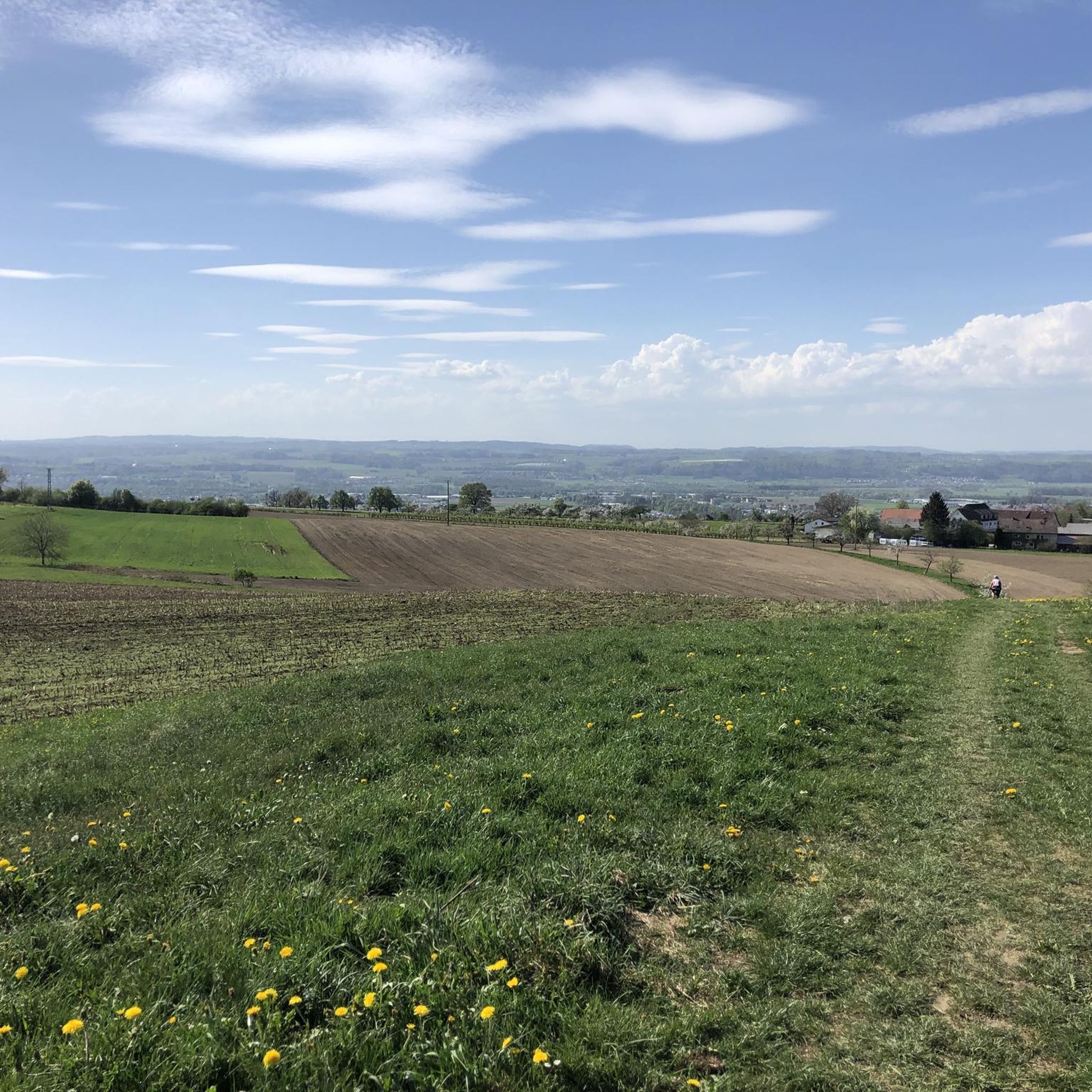
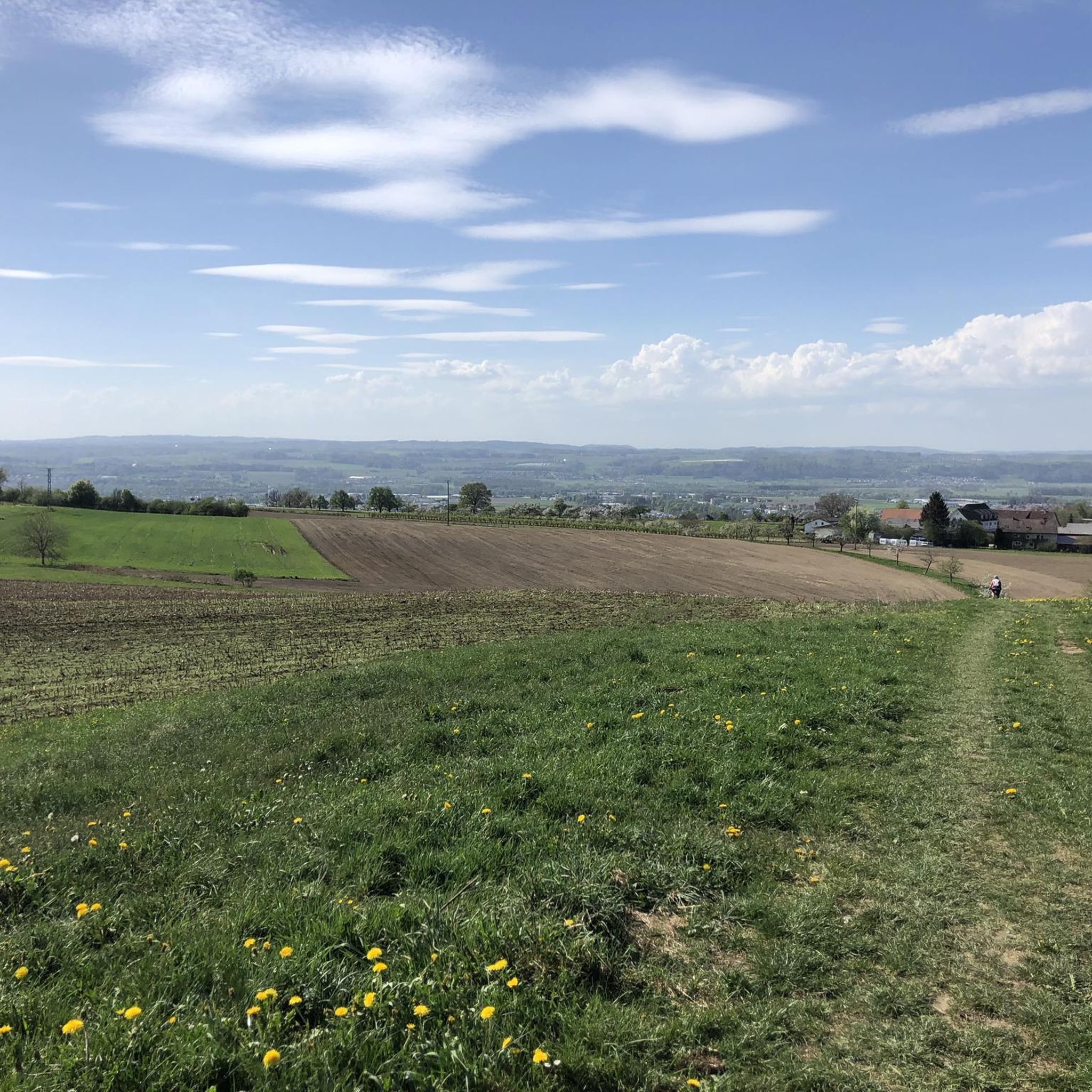
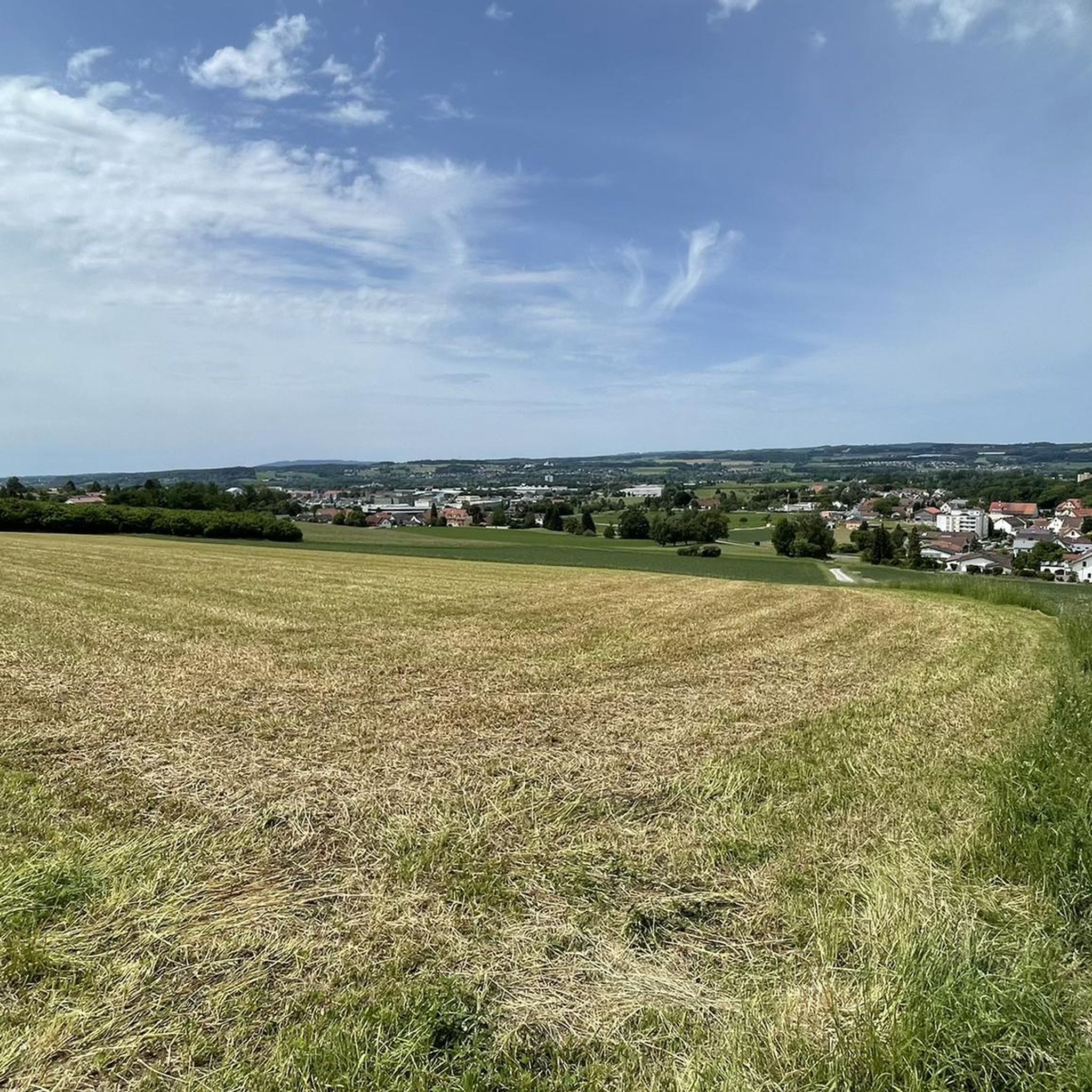
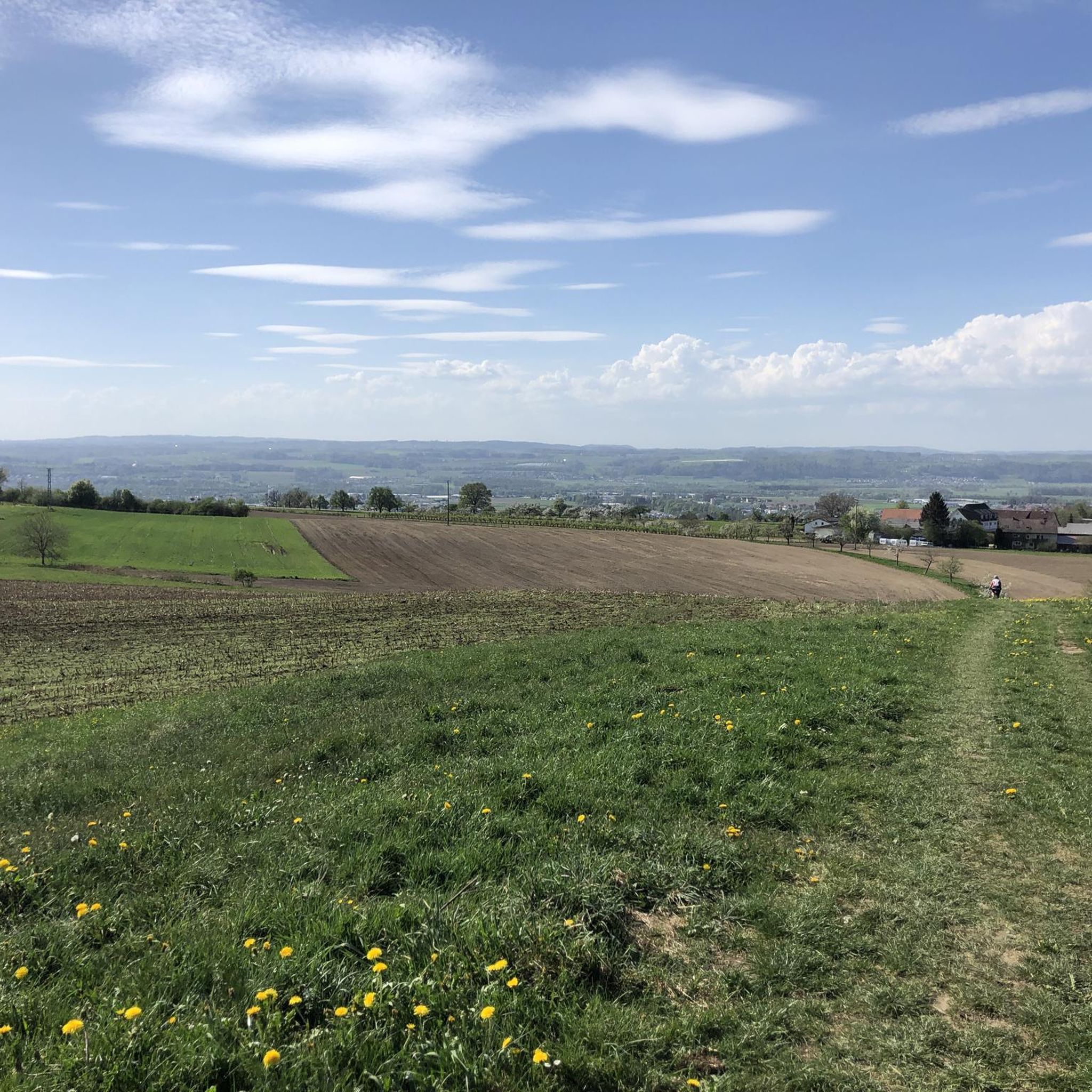

Tips from the Community

Perfect for "quickly getting away from traffic"
1
0

A beautiful corner, good for anglers who have a permit
2
0

The Schussen cycle path to Lake Constance. 🥰 Great tour
5
0
The Ettishofer Ach flows into the Schussen here, beautiful quiet place
5
0

Wonderful trail to walk through the silent forest and enjoy the nature around you.
1
0

Beautiful little pond in the forest, formerly used as a bathing place
0
0

59 kilometers. That's how long the Schussen is - from the source near Bad Schussenried to the mouth in the Eriskircher Ried. Here it flows into Lake Constance. Over its entire length it loses 182 meters in height, and this gradient was used early on to generate energy. The Schussen flows through the Schussen Valley. That alone is nothing special and is widely known. Less well known are the varied and exciting stories that have played out over the centuries on the river and along the banks of the Schussen. At the beginning of the 18th century, wood from the Altdorf Forest was still floated here to the shores of Lake Constance, to then be sold to Switzerland. In Ravensburg, the Schussen offered separate bathing areas for men, women and children, including bathhouses, from 1845 onwards. Around 1870, the Schussen Valley between Mochenwangen and Weißenau was the most important industrial region south of Ulm. And it was not until more than a hundred years later, in 1987, that the last hydroelectric power station was shut down. The river then became unused and murky in its bed, the water quality left much to be desired, and floods in the early 1990s required regulatory measures. But today, in times of climate change and the search for ideas for the future, the Schussen is receiving more attention again. And it deserves it.
5
0

The Schussen is a 59-kilometre-long tributary of Lake Constance and thus a right and northern tributary of the Rhine in the southern part of Baden-Württemberg in Germany.
1
0
Frequently Asked Questions
How many running routes are available around Baienfurt?
Baienfurt offers a wide selection of running routes, with over 45 trails available for exploration. These routes cater to various fitness levels, ranging from easy strolls to more challenging runs.
What kind of terrain and difficulty can I expect on the running trails in Baienfurt?
The running trails in Baienfurt feature diverse terrain, characterized by rolling hills, lush forests, and tranquil waterways. You'll find a mix of easy, moderate, and a few difficult routes. For instance, the Tafel Pond – Forest Path loop from Willkommen zum Wandern in Baienfurt is a moderate option that takes you through varied landscapes.
Are there any family-friendly running paths in the Baienfurt area?
Yes, Baienfurt has several routes suitable for families. Many trails are on well-maintained paths with minimal elevation, making them enjoyable for all ages. The region's scenic lakes and ponds, like those found around the Baindter Weiher loop from Baienfurt, offer pleasant and accessible options for a family run or walk.
Can I bring my dog on the running trails around Baienfurt?
Many of the natural trails and forest paths around Baienfurt are suitable for running with dogs. The area's lush forests and waterways provide a great environment for pets. Always ensure your dog is under control and check local regulations regarding leashes, especially in nature reserves or near wildlife.
Are there many circular running routes in Baienfurt?
Yes, circular routes are very common in Baienfurt, allowing you to start and finish at the same point. A popular example is the Xingles on the Art Island loop from Baienfurt, which offers a moderate 6.8 km run exploring a unique local area.
What are some notable natural features or landmarks I might see while running in Baienfurt?
While running in Baienfurt, you can enjoy lush forests, tranquil waterways like the Stillen Bach, and scenic lakes such as the Rößler Weiher. The region also features picturesque views, including a panorama route to Köpfingen with great views of Weingarten and its basilica. For a unique highlight, the Lampentrail (S1) offers an interesting trail experience.
Are there any running routes that pass by water features like lakes or streams?
Absolutely. Baienfurt is known for its tranquil waterways and scenic ponds. The Schussen River – Deichweg loop from Baienfurt follows the Schussen River, offering beautiful riverside paths. Other routes incorporate local water bodies like the Baindter Weiher and the Stillen Bach, providing a refreshing backdrop for your run.
What do other runners enjoy the most about jogging in Baienfurt?
The running routes in Baienfurt are highly rated by the komoot community, with an average score of 4.7 stars from over 40 reviews. Runners often praise the diverse natural features, the variety of trails for different fitness levels, and the well-maintained paths that make for an enjoyable outdoor experience.
Are there options for longer distance running in Baienfurt?
Yes, Baienfurt offers routes for longer distance runners. The Schussen River – Deichweg loop from Baienfurt, for example, is a 14.7 km trail, providing a good option for those looking for a more extended run. There are also combinations of trails that can create even longer distances.
Are there any outdoor fitness facilities near the running trails?
For those looking to complement their running with strength training, Baienfurt features outdoor gyms and street workout parks. These facilities provide additional opportunities for a comprehensive outdoor fitness regimen, often located conveniently near popular running areas.
What is the best time of year to go running in Baienfurt?
Baienfurt's diverse landscape makes it suitable for running year-round. Spring and autumn offer pleasant temperatures and vibrant scenery, while summer provides lush green forests. Even in winter, many well-maintained paths are accessible, offering a peaceful running experience amidst the serene landscape.
Are there any routes that offer good viewpoints?
Yes, the region around Baienfurt offers several routes with picturesque views. For example, a panorama route to Köpfingen provides excellent vistas of Weingarten and its impressive basilica. These routes combine physical activity with rewarding scenic overlooks.
Most popular routes around Baienfurt
Most popular attractions around Baienfurt

Get inspired with the komoot mobile app


Explore more
Browse the best Running Trails & Routes in other regions.
