The best walks and hikes around Ballycarry North West
4.7
(58)
944
hikers
39
hikes
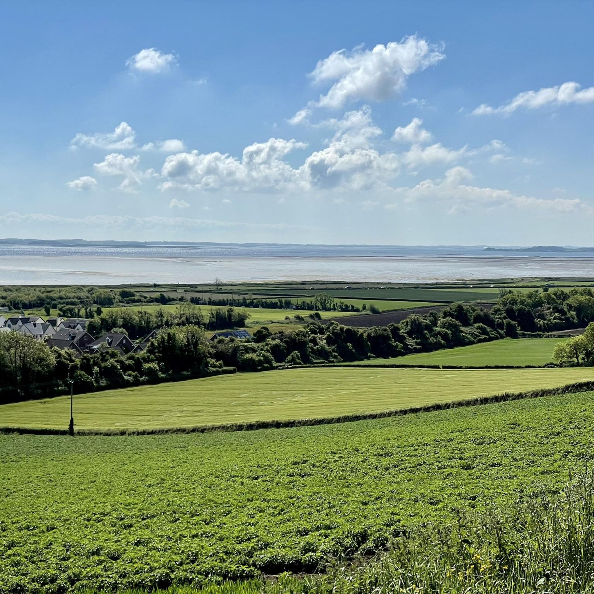
Hikes near Ballycarry North West explore the coastline of County Antrim and the Islandmagee peninsula. The region is characterized by basalt cliffs along the Causeway Coastal Route, with trails leading to lighthouses and along the shore. Inland, the landscape features rolling green hills and woodland paths, offering a variety of terrain for hikers.
Best hiking trails around Ballycarry North West
- The most popular hiking route is Blackhead Lighthouse from Whitehead, a 3.4 mile (5.5 km) trail that takes about…
Last updated: May 13, 2026
4.8
(28)
301
hikers
5.54km
01:26
30m
30m
Embark on an easy coastal hike along the Blackhead Lighthouse from Whitehead trail, a 3.4-mile (5.5 km) route that typically takes around 1 hour and 25 minutes to complete. You…
5.0
(7)
29
hikers
9.64km
02:40
160m
160m
Moderate hike. Good fitness required. Easily-accessible paths. Suitable for all skill levels.

Sign up for free
4.8
(13)
316
hikers
3.05km
00:56
100m
100m
Easy hike. Great for any fitness level. Easily-accessible paths. Suitable for all skill levels.
4.0
(2)
13
hikers
12.0km
03:10
110m
110m
Moderate hike. Good fitness required. Easily-accessible paths. Suitable for all skill levels.
17
hikers
Easy hike. Great for any fitness level. Easily-accessible paths. Suitable for all skill levels.
Get access to more routes and recommendations from other explorers.
Sign up for free
Already have an account?
Our route recommendations are based on thousands of hikes, rides, and runs completed by other people on komoot.
Start today with a free account
Your next adventure awaits.
Login or Signup
Popular around Ballycarry North West

Tips from the Community

Information boards showing some of the history of the area.
0
0

William III of Orange was King of England and Ireland in personal union.
2
0

Impressive, massive fortress in an ideal waterfront location.
4
0


Very nice place for a guided hike.
0
0

About the closest to a via ferrata you will find in Ireland. Slightly adventurous path for those not used to it at all, but from a sportive perspective rather boring for mountaineers. The landscape and views are great though and still worth it. Downside is that you need to go for a guided tour here.
4
1

Carrickfergus Marina, situated on Belfast Lough's shore, offers a picturesque harbour for boats and visitors with several restaurants, bars and promenade areas. With scenic views of Belfast Lough, it's a popular spot for seaside enthusiasts and visitors seeking waterfront tranquillity.
2
0
Carrickfergus Castle is a well-preserved medieval fortress overlooking Belfast Lough. Built in the 12th century, it stands as a historic icon, showcasing impressive architecture and giving you a glimpse into Ireland's past.
2
0
Frequently Asked Questions
Are there many hiking trails to choose from around Ballycarry?
Yes, there are over 40 hiking routes to explore in the Ballycarry region. The trails range from easy coastal strolls to more challenging cliffside paths, offering plenty of variety for all ability levels.
What do other hikers think of the trails in this area?
The hiking routes around Ballycarry are highly regarded by the komoot community, with an average rating of 4.8 out of 5 stars. Hikers often praise the stunning coastal scenery, the dramatic basalt cliffs, and the mix of shoreline and woodland paths.
What is The Gobbins Cliff Path?
The Gobbins is a famous and physically demanding coastal walk along the basalt cliffs of the Islandmagee peninsula. It's a unique experience that takes you across suspension bridges and through a tunnel carved from the rock. Please note that this is a guided-only tour and you must book in advance.
Are there any easy circular walks suitable for a casual afternoon?
Yes, the area has several pleasant circular routes. A great option is the The Gobbins Entrance Gate – The Tubular Bridge loop from Islandmagee. It's a short, easy walk of about 2.6 km that gives you a taste of the dramatic coastline without the commitment of the full Gobbins tour.
Can I bring my dog on hikes near Ballycarry?
Many trails in the wider County Antrim area are suitable for walking with dogs, but it's important to check specific restrictions, especially on coastal paths with livestock or sensitive wildlife habitats. Ballyboley Forest is a popular spot for dog walkers, though you should always be prepared to clean up after your pet as bins may not be available.
Are there any family-friendly walking trails in the region?
Carnfunnock Country Park, a short drive from Ballycarry, is an excellent choice for families. It offers several marked walking trails through woodlands and gardens, with plenty of open space. For a coastal option, the walk towards Whitehead Lighthouse is also popular with families, offering great sea views.
What are the coastal paths like around Ballycarry?
The coastal paths are a highlight of the region, defined by the dramatic Causeway Coastal Route. You can expect trails that hug the rugged shoreline, leading past sea caves and offering fantastic views across to the Copeland Islands. The Blackhead Lighthouse loop from Whitehead Excursion is a moderate route that showcases this beautiful seaside scenery.
Where can I park for hikes in the Ballycarry area?
Parking availability varies by trail. Popular starting points like Whitehead and the Gobbins Visitor Centre have dedicated car parks. For other routes, you may find smaller lay-bys or on-street parking in villages. It's always a good idea to arrive early, especially on weekends, as some spots like the National Trust's Cregagh Glen are known for limited parking.
Are there any long-distance hiking opportunities from Ballycarry?
Ballycarry is located along the Causeway Coastal Route, which forms part of the longer Ulster Way trail. Hikers can tackle sections of this route for a more strenuous day out, connecting to other towns and scenic points along the Antrim coast.
What is the best time of year to hike around Ballycarry?
Summer offers the best chance for clear, sunny days to enjoy the coastal views. However, spring and autumn are also wonderful times to visit, with fewer crowds and beautiful seasonal colours in the woodlands. Winter hiking can be bracing and beautiful, but be sure to check weather conditions and wear appropriate gear as coastal paths can be very exposed.
Are there any pubs or cafes near the walking routes for a post-hike refreshment?
Yes, the nearby towns of Whitehead and Ballycarry have several traditional pubs and cafes where you can relax after your walk. These are great spots to enjoy a meal and experience local hospitality.
Most popular routes around Ballycarry North West
Most popular attractions around Ballycarry North West

Get inspired with the komoot mobile app


Explore more
Browse the best Hikes in other regions.
