The best cycling routes around Gortgill
4.6
(6)
20
riders
6
rides
Touring cycling routes around Gortgill offer diverse landscapes across Northern Ireland, featuring areas near the River Bann and the historic Randalstown. The region includes routes that traverse open countryside, pass through forested areas, and follow riverbanks. Elevation changes vary, from relatively flat paths suitable for leisurely rides to more challenging routes with notable climbs. This area provides a mix of natural scenery and cultural landmarks for touring cyclists.
Best touring cycling routes around Gortgill
- The most popular touring cycling route…
Last updated: May 13, 2026
120km
07:18
1,030m
1,030m
Hard bike ride. Very good fitness required. Mostly paved surfaces. Suitable for all skill levels.
4.2
(5)
9
riders
Easy bike ride. Great for any fitness level. Mostly paved surfaces. Suitable for all skill levels.

Sign up for free
3
riders
49.1km
02:56
270m
270m
Moderate bike ride. Good fitness required. Mostly paved surfaces. Suitable for all skill levels.
3
riders
4.28km
00:24
20m
20m
Easy bike ride. Great for any fitness level. Mostly paved surfaces. Suitable for all skill levels.
5.0
(1)
2
riders
8.65km
00:31
40m
40m
Easy bike ride. Great for any fitness level. Mostly paved surfaces. Suitable for all skill levels.
Our route recommendations are based on thousands of hikes, rides, and runs completed by other people on komoot.
Start today with a free account
Your next adventure awaits.
Login or Signup
Popular around Gortgill

Tips from the Community

A row of terraced houses just outside the town of Randalstown. An important military location, these houses could've been used as barracks or staff housing. The symmetry of these houses is very pleasing as you ride past.
0
0
The Protector of the Lough statue shows the mythological giant Finn McCool standing guard at Antrim Marina on the shores of Lough Neagh. It's an eight-metre-tall sculpture created by Spanish artist Casto Solan to celebrate the local folklore of the Lough.
0
0

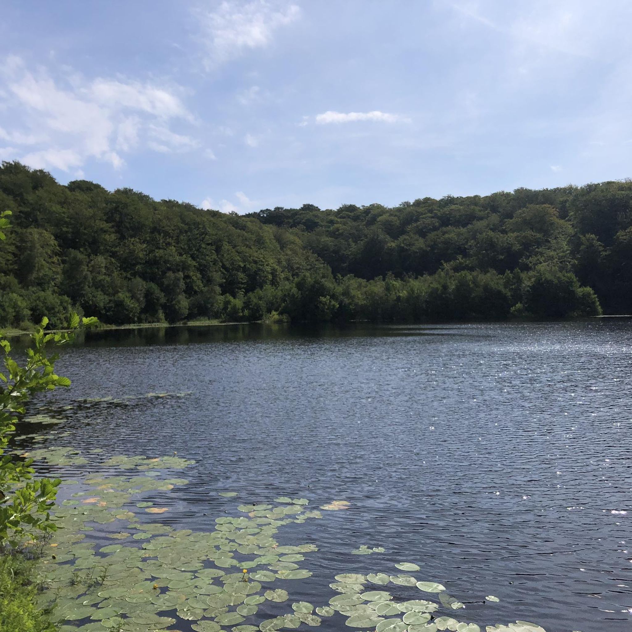
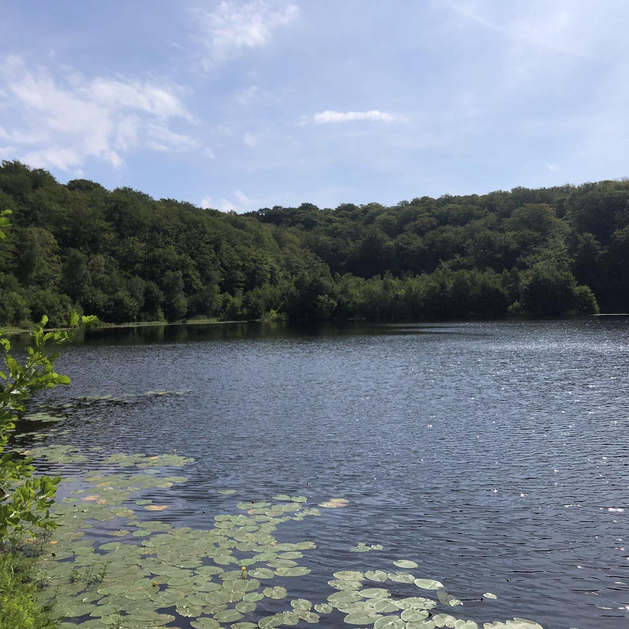
A 430 acre mixed conifer forest that contains an owl conservation centre, deer park and several walking routes. Within the deer enclosure, there is the opportunity to quietly observe up to 25 resident fallow deer. There are also two small adjacent nature reserves at the forest edge on the shores of Lough Neagh.
0
0
Beaghmore (Bheitheach Mhór), meaning ‘big place of birch trees’. The stones speak of ancient rituals and to a people who understood astronomy. When you visit this ancient site look up in wonder at the sky and reflect, that the people that built these monuments observed the same sky, sun, moon and stars.
0
0
Contained within the ruins is a sculpture of the crucifixion, which is thought to date from the 10th Century, making it one of the oldest in Ireland. St Lurach founded an important church here in the 6th century. It was plundered by Vikings in 832 and burned in 1135. Following the 12th-century ecclesiastical reforms this was the seat of a bishop from the mid 12th to the mid 13th century, then served as parish church until the new church across the road was built in the early 19th century. This long history is reflected in the much patched and altered fabric, and the big uneven graveyard.
0
0

Nice small town to walk around and some great history of Randalstown
1
0

There are 7 stone circles, 12 cairns and 10 rows of stones here at Beaghamore. In total 1269 stones were discovered under the peat during the 1930s. The site dates back to 2900 - 2600 BC.
0
0

Antrim Castle Gardens is the perfect place for a jog. It has flat gravel paths throughout as well as a wonderful medley of landmarks to discover such as Large Parterre, Her Ladyship's Pleasure Garden and Yew Tree Pond. Admission to the castle is free and is open 24 hours.
2
0
Frequently Asked Questions
How many touring cycling routes are available in the Gortgill area?
There are 6 touring cycling routes available around Gortgill, offering a variety of experiences for different skill levels. These routes traverse diverse landscapes, from river valleys to forested sections and open countryside.
What is the general terrain like for touring cycling around Gortgill?
The terrain around Gortgill, situated near the foothills of the Sperrin Mountains, offers a mix of landscapes. You can expect routes that follow riverbanks, pass through open countryside, and wind through forested areas. Elevation changes vary, providing options from relatively flat paths to more challenging routes with significant climbs, reflecting the region's natural beauty.
Are there routes suitable for beginners or those looking for an easy ride?
Yes, there are 2 easy touring cycling routes in the Gortgill area. For a shorter, gentle ride, consider the Randalstown Forest loop from Randalstown, which is just 4.3 km. Another easy option is the Antrim Castle Gardens – Randalstown Heritage Houses loop from Randalstown, a 19.6 km trail leading through historic sites and parklands.
Are there challenging routes for experienced touring cyclists?
For experienced touring cyclists seeking a challenge, the Beaghmore Stone Circles loop from Cullybackey — Sperrins is a difficult route. This extensive 119.5 km trail features significant elevation gain and offers expansive views across the Sperrin Mountains, taking approximately 7 hours to complete.
What are some moderate-difficulty touring cycling routes in the area?
There are 3 moderate-difficulty routes available. A popular choice is the View of the River Bann – Toome Lock loop from Magherafelt. This 49.1 km path follows the River Bann, offering scenic waterside views and passing by Toome Lock.
What natural features or landmarks can I expect to see on a touring cycling route near Gortgill?
Touring cyclists in the Gortgill area can enjoy diverse natural features and landmarks. Routes often follow the River Bann, providing scenic waterside views, and traverse the foothills of the Sperrin Mountains, known for their wild beauty and open moorlands. You might also encounter historic sites like Antrim Castle Gardens and Randalstown Heritage Houses, as well as ancient monuments such as the Beaghmore Stone Circles.
Are there any routes that follow riverbanks or offer waterside views?
Yes, the View of the River Bann – Toome Lock loop from Magherafelt is an excellent option for waterside cycling. This moderate 49.1 km route closely follows the River Bann, offering picturesque views and passing by the notable Toome Lock.
Can I find routes that pass through historic sites or parklands?
Absolutely. The Antrim Castle Gardens – Randalstown Heritage Houses loop from Randalstown is a 19.6 km easy route that takes you through historic sites and beautiful parklands, including the Antrim Castle Gardens. Additionally, the Randalstown Heritage Houses loop from Randalstown offers another opportunity to explore local history.
Are there circular touring cycling routes available in Gortgill?
Yes, all the touring cycling routes listed for the Gortgill area are designed as loops, meaning they start and end in the same location. This makes planning your ride and return journey straightforward.
What do other touring cyclists say about the routes in Gortgill?
The touring cycling routes in Gortgill are highly rated by the komoot community, with an average score of 4.6 stars from over 6 reviews. More than 19 touring cyclists have used komoot to explore the varied terrain, often praising the mix of natural scenery and cultural landmarks.
What is the best time of year for touring cycling in the Gortgill area?
While specific seasonal conditions can vary, the Gortgill area, being in Northern Ireland, generally offers pleasant cycling conditions from late spring through early autumn (May to September). During these months, you can expect milder temperatures and longer daylight hours, ideal for exploring the diverse landscapes of the Sperrin Mountains foothills and river valleys.
Are there any forested routes for touring cyclists?
Yes, the Randalstown Forest loop from Randalstown is an easy 4.3 km route that takes you through forested sections, offering a tranquil cycling experience amidst nature.
Most popular routes around Gortgill

Get inspired with the komoot mobile app


Explore more
Browse the best Cycling routes in other regions.
