The best running trails around Cloghogue
52
runners
5
runs
Jogging routes around Cloghogue traverse a landscape characterized by river valleys, extensive parklands, and the foothills of the Wicklow Mountains. The Cloghoge River carves a scenic valley, flowing towards Lough Tay and Lough Dan, which are prominent natural features. This region offers a mix of rolling green hills and moorlands, providing varied terrain for running.
Best jogging routes around Cloghogue
- The most popular jogging route is Rarh loop from Randalstown, a 3.7 miles (6.0 km) trail that takes 37…
Last updated: May 17, 2026
13
runners
4.24km
00:26
20m
20m
Easy run. Great for any fitness level. Mostly paved surfaces. Suitable for all skill levels.
7
runners
23.2km
02:25
170m
170m
Hard run. Very good fitness required. Mostly paved surfaces. Suitable for all skill levels.

Sign up for free
7
runners
11.3km
01:11
100m
100m
Moderate run. Good fitness required. Mostly paved surfaces. Suitable for all skill levels.
2
runners
5.30km
00:34
10m
10m
Moderate run. Good fitness required. Mostly paved surfaces. Suitable for all skill levels.
Our route recommendations are based on thousands of hikes, rides, and runs completed by other people on komoot.
Start today with a free account
Your next adventure awaits.
Login or Signup
Popular around Cloghogue

Tips from the Community

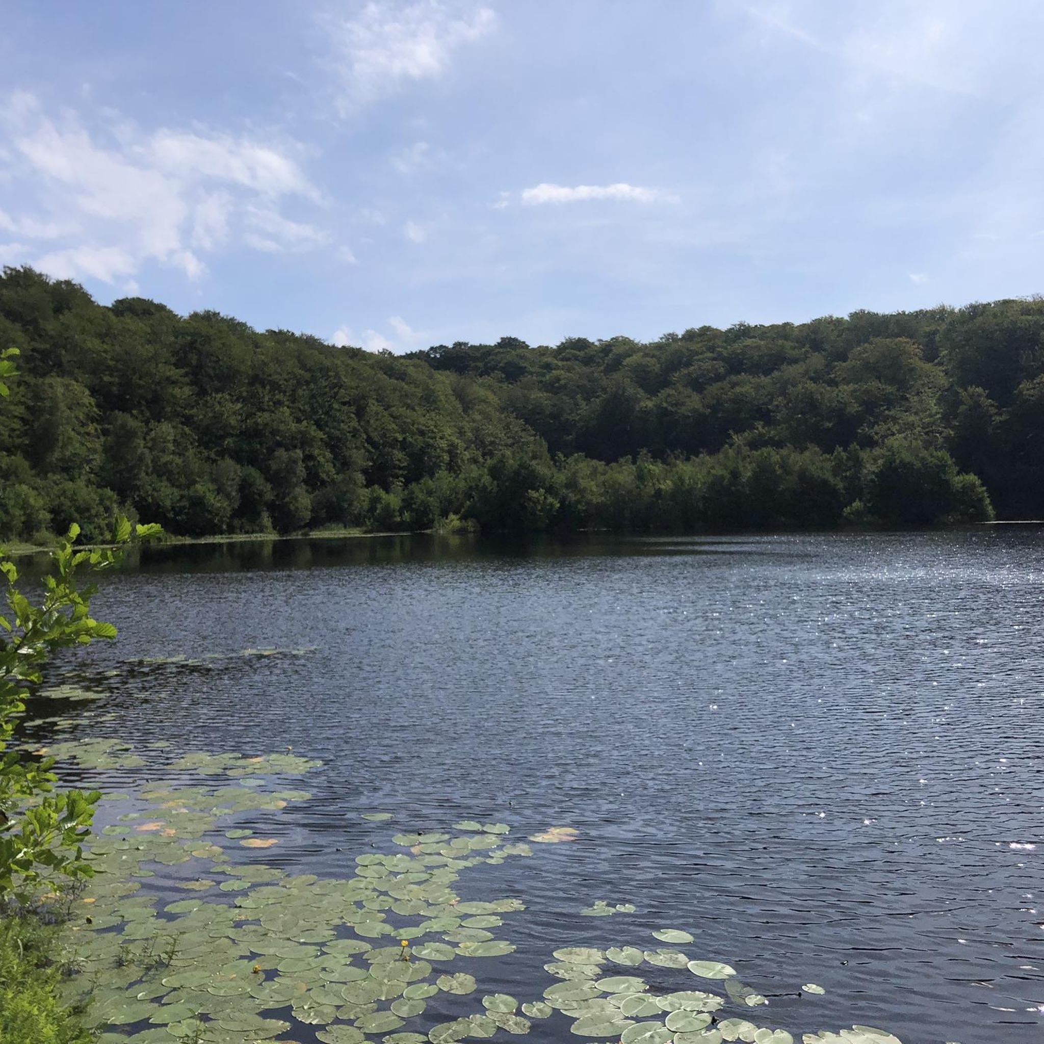
A 430 acre mixed conifer forest that contains an owl conservation centre, deer park and several walking routes. Within the deer enclosure, there is the opportunity to quietly observe up to 25 resident fallow deer. There are also two small adjacent nature reserves at the forest edge on the shores of Lough Neagh.
0
0

Nice small town to walk around and some great history of Randalstown
1
0
Frequently Asked Questions
What kind of terrain can I expect on running trails around Cloghogue?
The running trails around Cloghogue offer a diverse landscape, characterized by scenic river valleys, extensive parklands, and the foothills of the Wicklow Mountains. You'll find a mix of rolling green hills, moorlands, and paths along the Cloghoge River, which flows towards Lough Tay and Lough Dan. The region is known for its natural beauty, often referred to as the 'Garden of Ireland'.
Are there running routes suitable for beginners in the Cloghogue area?
Yes, there are routes suitable for various fitness levels. While the guide primarily features moderate to difficult routes, some paths offer gentler elevation gains. For instance, the Rarh loop from Randalstown is a moderate 6.0 km (3.7 miles) trail with minimal elevation, making it a good option for a quicker, less strenuous run.
What natural landmarks or points of interest can I see while jogging near Cloghogue?
The Cloghogue area is rich in natural beauty. You can expect to see the exquisite Cloghoge Valley, the Cloghoge River, and potentially views of Lough Tay (known as the 'Guinness Lake') and Lough Dan. The region is also close to the Wicklow Mountains National Park, offering rugged landscapes and mountain streams. The Randalstown Viaduct – Randalstown Forest loop from Randalstown, for example, takes you through varied forest areas.
Are there any circular running routes available in Cloghogue?
Yes, many of the routes in the Cloghogue area are designed as loops, offering convenient starting and ending points. Examples include the Rarh loop from Randalstown, the Randalstown Viaduct – Randalstown Forest loop from Randalstown, and the Running loop from Randalstown. These allow you to experience the scenery without retracing your steps.
What is the best time of year to go running in Cloghogue?
Cloghogue, located in County Wicklow, experiences a temperate maritime climate with mild winters and cool summers, making it suitable for outdoor activities year-round. However, frequent rainfall is common, so waterproof gear is advisable regardless of the season. Spring and autumn offer pleasant temperatures and vibrant scenery, while summer provides longer daylight hours.
How many running routes are available in the Cloghogue region?
There are 5 curated running routes detailed in this guide for the Cloghogue region, ranging from moderate to difficult. These routes showcase the best of the area's diverse landscape, from river valleys to forest paths.
Are there any dog-friendly running trails around Cloghogue?
While specific regulations for dogs can vary, many natural trails in the Wicklow Mountains National Park and surrounding areas are generally dog-friendly, especially if dogs are kept on a leash to protect wildlife and livestock. It's always recommended to check local signage or park guidelines for the specific route you plan to run.
What are the typical distances and durations for running routes in Cloghogue?
The running routes in Cloghogue vary in length and duration. For example, you can find shorter runs like the Toome Lock loop from Toomebridge Park and Ride, which is about 5.3 km (3.3 miles) and takes around 34 minutes. Longer, more challenging options include the Bellaghy Bawn loop from Bellaghy, a difficult 22.9 km (14.2 miles) route that can take over 2 hours.
Is public transport available to access running trails near Cloghogue?
Access to specific trailheads in rural areas like Cloghogue via public transport can be limited. While major towns in County Wicklow may have bus services, reaching the more secluded starting points for many running routes often requires personal transport. It's advisable to check local bus schedules and routes in advance if you plan to rely on public transport.
Are there parking facilities available at the trailheads for running routes in Cloghogue?
For many popular running routes and access points to natural areas in County Wicklow, parking facilities are generally available, though they might be small or informal in more remote locations. It's common for routes starting from villages or specific landmarks to have designated parking. Always check the route details or local information for specific parking availability.
What is the elevation gain like on running routes in the Cloghogue area?
The elevation gain varies significantly depending on the route. Some routes, like the Toome Lock loop from Toomebridge Park and Ride, have minimal elevation changes, making them relatively flat. Others, especially those venturing closer to the Wicklow Mountains National Park, can feature more substantial ascents and descents, offering a greater challenge. For instance, the difficult Bellaghy Bawn loop from Bellaghy has an elevation gain of approximately 169 meters.
What do other runners enjoy about the trails in Cloghogue?
Over 50 runners have explored the Cloghogue area using komoot, indicating its popularity among the running community. Users often praise the region's stunning natural beauty, the variety of terrain from river valleys to forest paths, and the peaceful environment of the 'Garden of Ireland' for their runs.
Most popular routes around Cloghogue

Get inspired with the komoot mobile app


Explore more
Browse the best Running Trails & Routes in other regions.
