The best mountain hikes around Landkreis Ludwigsburg
5.0
(1)
7
hikers
6
hikes
Mountaineering around Landkreis Ludwigsburg offers diverse terrain, situated within the Neckar valley and bordered by the Stromberg, Strohgäu, and Löwenstein mountains. The region features varied elevations, including the Hessigheimer Felsengärten with their rugged limestone cliffs, and elevated points like the Baiselsberg and Hohenasperg. Extensive vineyards and numerous nature reserves contribute to a landscape suitable for varied mountaineering experiences.
Best mountaineering routes around Landkreis Ludwigsburg
- The most popular mountaineering route is Tobelschlucht Fountain – Tobel Gorge and the Hollow Stone loop…
Last updated: August 25, 2026
5.93km
01:48
190m
190m
Hard mountaineering route. Great for any fitness level. Sure-footedness, sturdy shoes and alpine experience required.
5.0
(1)
2
hikers
Easy mountaineering route. Great for any fitness level. Easily-accessible paths. Suitable for all skill levels.

Sign up for free
2
hikers
10.5km
02:49
120m
120m
Moderate mountaineering route. Good fitness required. Easily-accessible paths. Suitable for all skill levels.
1
hikers
17.0km
04:33
200m
200m
Moderate mountaineering route. Good fitness required. Easily-accessible paths. Suitable for all skill levels.
1
hikers
Moderate mountaineering route. Good fitness required. Easily-accessible paths. Suitable for all skill levels.
6.85km
02:00
180m
190m
Easy mountaineering route. Great for any fitness level. Easily-accessible paths. Suitable for all skill levels.
6.72km
01:49
90m
90m
Easy mountaineering route. Great for any fitness level. Easily-accessible paths. Suitable for all skill levels.
1
hikers
Easy mountaineering route. Great for any fitness level. Easily-accessible paths. Suitable for all skill levels.
Our route recommendations are based on thousands of hikes, rides, and runs completed by other people on komoot.
Start today with a free account
Your next adventure awaits.
Login or Signup
Popular around Landkreis Ludwigsburg
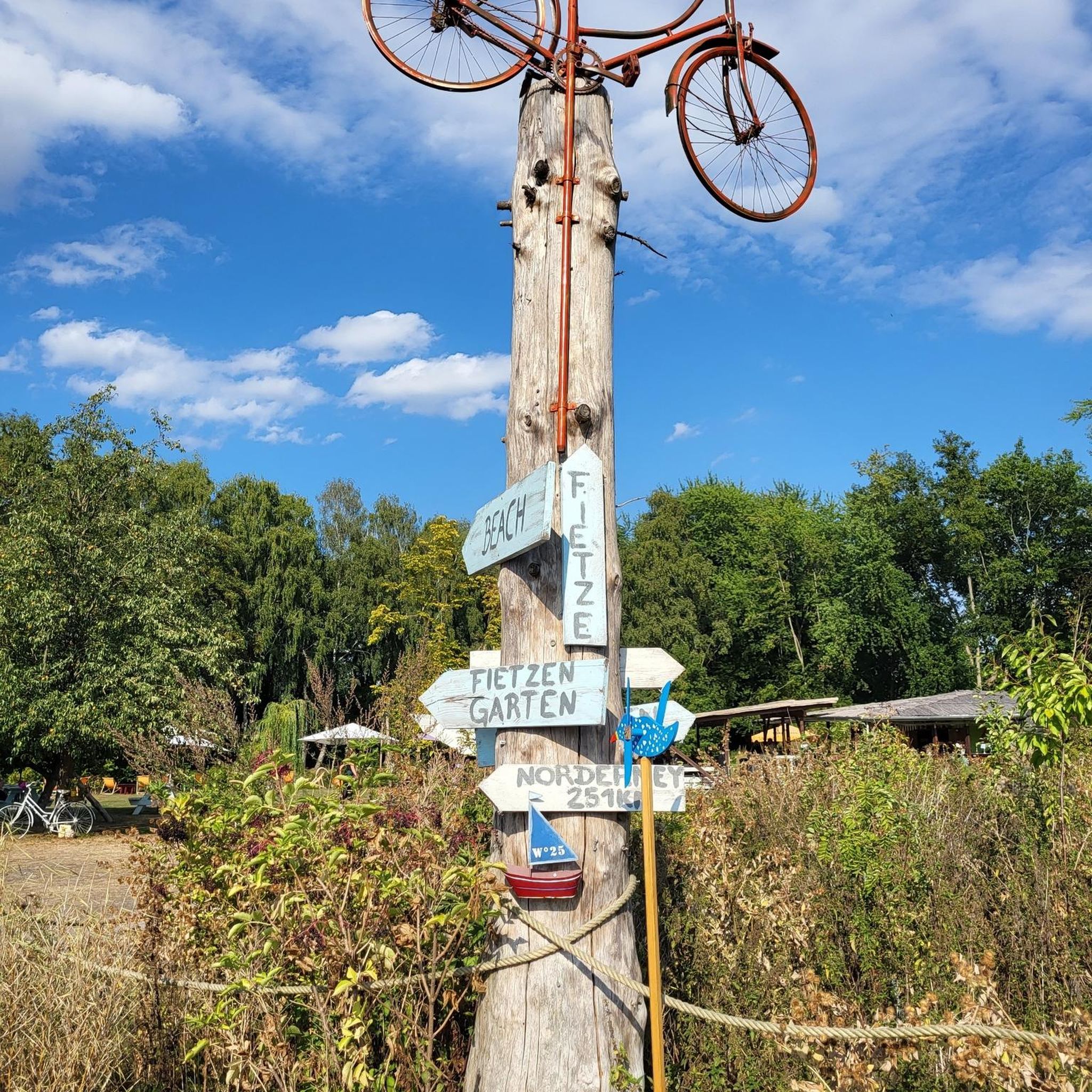
Mountain Hikes around Oberstenfeld
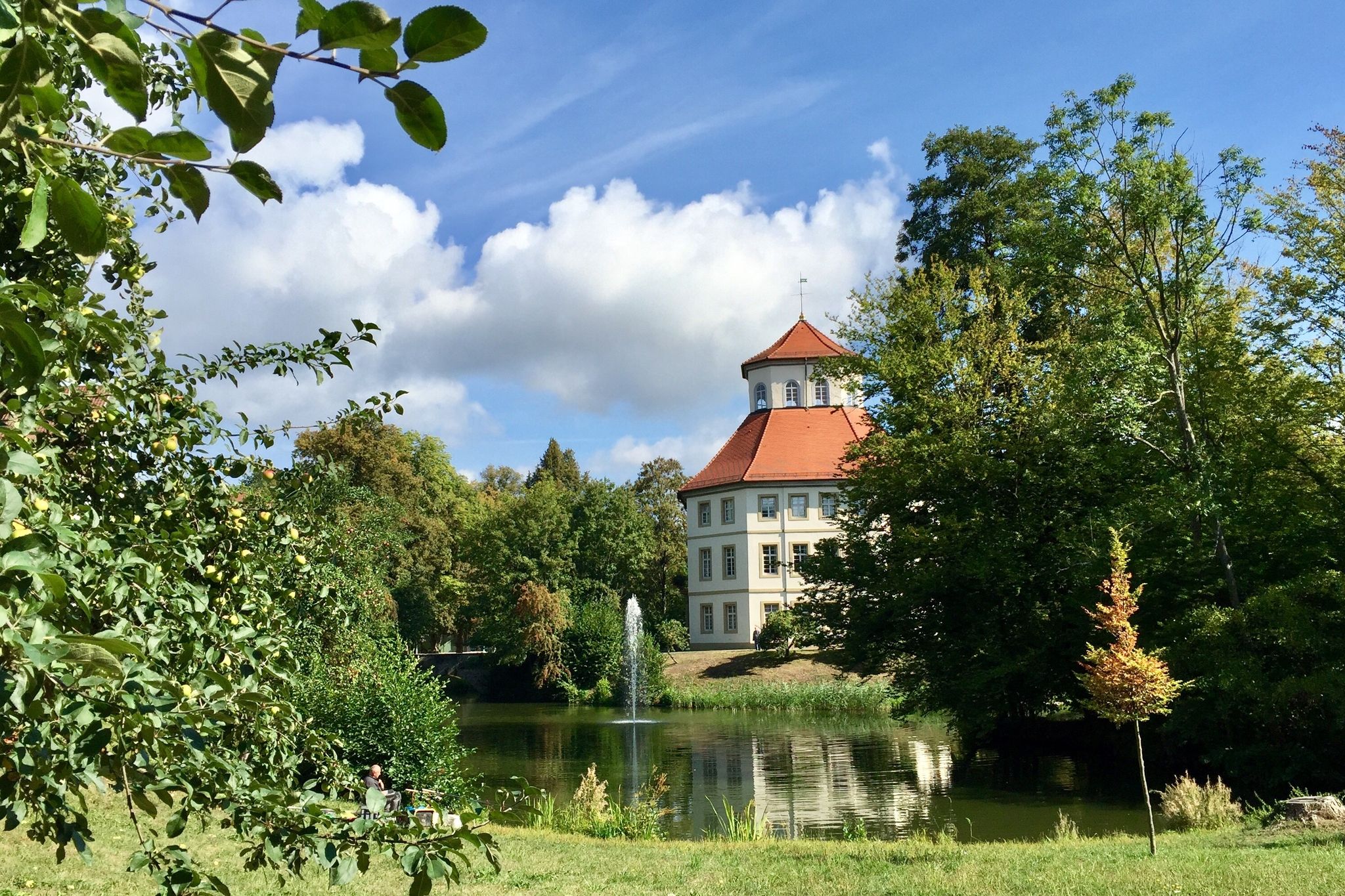
The Stromberg Murrtal Bike Path – 7 stages of nature and culture
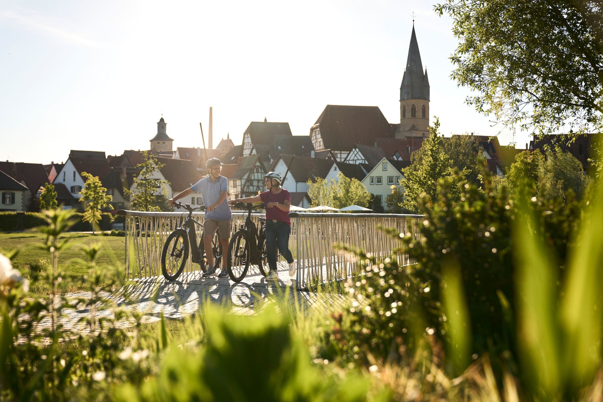
Half-timbered houses and superb cycling tours – the best of the South
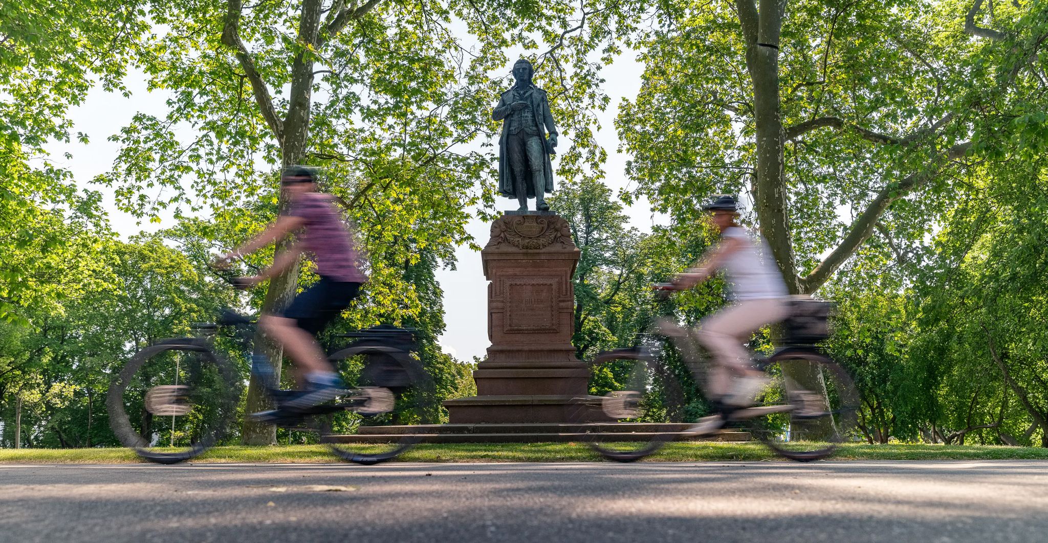
Culture over mileage – cultural Highlights on the Neckar Valley Cycle Path
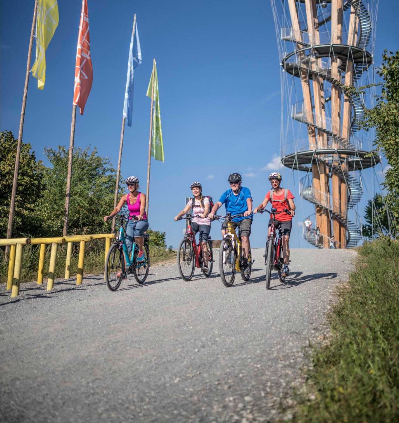
Discover Stuttgart's surroundings – main route of the Stuttgart E-Bike region

A passion for road cycling in the Land of 1,000 Hills
Trail running between woodlands & wine in the Land of 1000 Hills

MTB, gravel and bikepacking in the Süden ganz oben
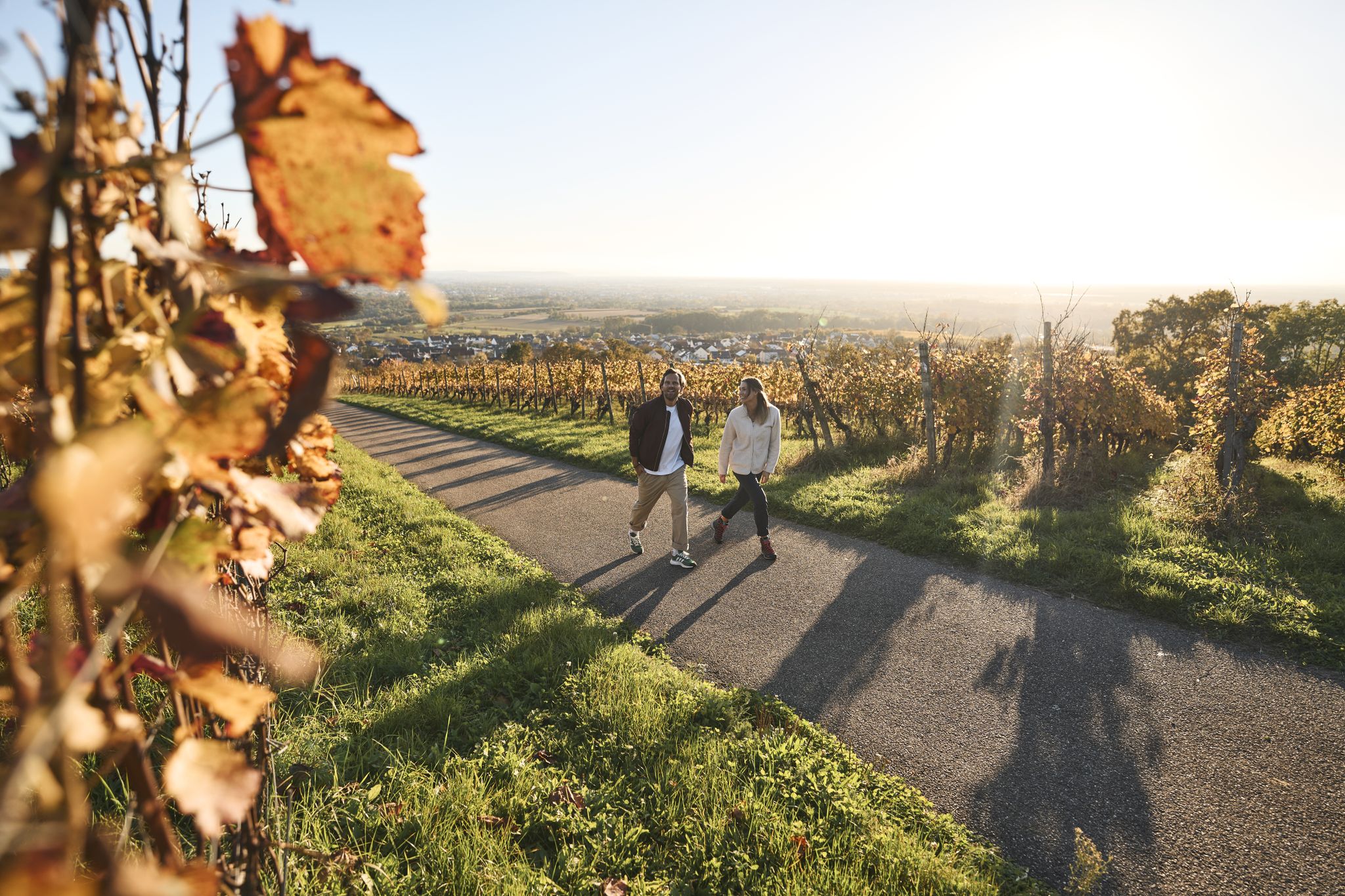
Fine drops and local cuisine – gourmet hiking in the Süden ganz oben
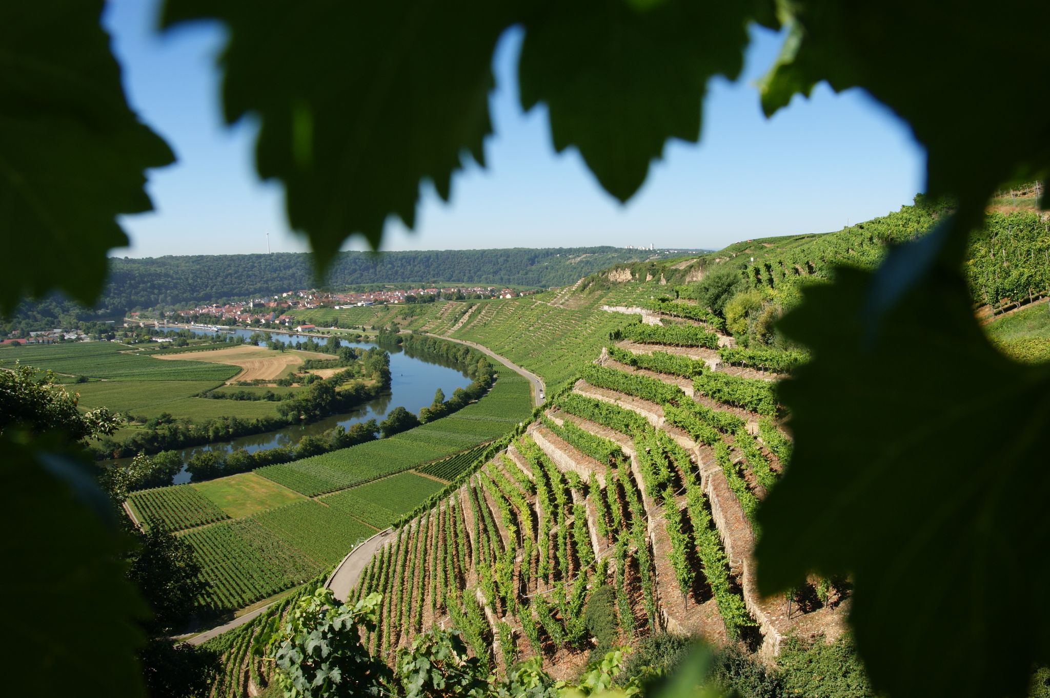
Where the wine grows in loops – hiking in the 3B-Land
Other adventures around Landkreis Ludwigsburg


Tips from the Community

Beautiful singletrack in Löwensteiner Land
0
0

Unfortunately, there is no water coming out this year.
0
0

In the middle of the green, the Naturfreundehaus am Kappelberg is idyllically located above vineyards and orchards. The cozy meeting place is run by volunteers on weekends and offers hikers a relaxing break with a magnificent view. Those who wish can even stay overnight here. A wonderfully down-to-earth place where the Schurwald still feels pleasantly decelerated.
0
0

Especially at high water levels, you can clearly see the different colors of the Murr and Weissach.
0
0

The lake is located in the middle of the forest, beautifully secluded and quiet.
3
0

The language of the following quote may seem a little dated to us, but surely many hikers will be able to relate to the words of Josef Hofmiller (Dr. phil., 1872-1933): „... that is what hiking is: When do we ever feel so filled with life to the brim, to overflowing, as on a hike? We breathe more freely, our blood pulses more joyfully, the world seems more colorful and richer to us, happiness sings ahead of us from tree to tree like a finch...“
0
0

a beautiful valley, highly recommended.
0
0
Frequently Asked Questions
How many mountaineering routes are available in Landkreis Ludwigsburg?
Landkreis Ludwigsburg offers a selection of mountaineering routes, with over 6 tours currently available on komoot. These routes cater to various skill levels, from easy paths to more challenging ascents.
What kind of terrain can I expect on mountaineering routes in Landkreis Ludwigsburg?
The region offers diverse terrain, situated within the Neckar valley and bordered by the Stromberg, Strohgäu, and Löwenstein mountains. You can expect varied elevations, including rugged shell limestone cliffs like the Hessigheimer Felsengärten, elevated points such as the Baiselsberg and Hohenasperg, and extensive vineyards. The landscape also features numerous nature reserves and river floodplains.
Are there routes suitable for beginners or those looking for an easy mountaineering experience?
Yes, there are several easy mountaineering routes in Landkreis Ludwigsburg. For example, the Western path to Kernen Tower – Naturfreundehaus Am Kappelberg loop from Kernen im Remstal is an easy 3.3-mile path offering views from Kernen Tower. Another accessible option is the Steinernes Sofa loop from Enzwiese, which is about 4.2 miles long.
What about more challenging mountaineering routes in the area?
For those seeking a more demanding experience, the region offers routes with significant elevation gain. A notable difficult route is the Tobelschlucht Fountain – Tobel Gorge and the Hollow Stone loop from Wüstenrot, a 3.2-mile trail that takes you through a scenic gorge with considerable ascents.
Are there any circular mountaineering routes in Landkreis Ludwigsburg?
Yes, many of the mountaineering routes in the region are designed as loops, allowing you to start and end at the same point. Examples include the Baumbach Valley – Niedernberg Viewing Platform loop from Erligheim, a 6.5-mile trail, and the Old Quarry on Betzenbuckel – Schlegler Castle loop from Heimsheim, which is about 10.7 miles long.
Can I bring my dog on these mountaineering routes?
Many trails in Landkreis Ludwigsburg are dog-friendly, especially those through natural areas and forests. However, it's always recommended to keep your dog on a leash, especially in nature reserves or near livestock, and to check specific route regulations if available. Always ensure your dog is capable of handling the route's distance and elevation.
Are there family-friendly mountaineering options?
Absolutely. Routes with easier difficulty ratings and shorter distances are ideal for families. The Western path to Kernen Tower – Naturfreundehaus Am Kappelberg loop from Kernen im Remstal is an easy option, and the Backnang Outdoor Pool – Murr Weir loop from Backnang, at about 4.2 miles, offers a pleasant walk along the river.
Where can I find routes with scenic viewpoints?
Landkreis Ludwigsburg boasts several elevated points offering panoramic views. The Wunnenstein Tower provides expansive vistas on clear days, and the Hohenasperg, crowned by a fortress, offers excellent views of terraced vineyards. The View of the Neckar from the Hessigheimer Felsengärten is another stunning spot.
Are there any natural attractions or landmarks to see along the routes?
Yes, the region is rich in natural beauty and historical landmarks. You can explore the rugged Hessigheimer Felsengärten, visit the Hammelrain Hill in the Leudelsbachtal Nature Reserve, or discover the Wobachfelsen Muschelkalk Cliffs near Bietigheim. The Zugwiesen Nature Reserve on the Neckar is also a significant natural monument.
What is the best season for mountaineering in Landkreis Ludwigsburg?
Thanks to its mild climate, Landkreis Ludwigsburg is suitable for mountaineering for much of the year. Spring and autumn offer pleasant temperatures and vibrant scenery, with autumn being particularly beautiful amidst the vineyards. Summer is also popular, though some routes might be more exposed to the sun. Winter can offer unique, quieter experiences, especially on lower elevation trails.
Are there any routes that feature vineyards or wine trails?
The region is known for its extensive vineyards, which create picturesque landscapes, especially on the terraced slopes. The Wunnenstein, for instance, features a Wine Experience Trail. Many routes will take you through or alongside these scenic vineyards, offering insights into the local wine culture.
How long do mountaineering routes typically take in Landkreis Ludwigsburg?
The duration of mountaineering routes varies significantly based on distance and difficulty. Shorter, easier routes like the Sinneswandel Boardwalk – House of the forest & change of heart loop from Waldau (3.8 miles) can take around 1 hour 40 minutes, while longer, moderate trails such as the Viewpoint – Cycling — Bike Café Stuttgart loop from Berliner Platz (Liederhalle) (4.8 miles) might take over 2 hours.
Most popular routes around Landkreis Ludwigsburg
Most popular attractions around Landkreis Ludwigsburg

Get inspired with the komoot mobile app


Didn’t find what you were looking for?
Check out more Mountain Hikes & Routes throughout Landkreis Ludwigsburg below and find the perfect route in your destination.
