The best running trails around Hardthausen am Kocher
4.5
(306)
3,432
runners
12
runs
Jogging routes around Hardthausen am Kocher are set within the scenic Kocher Valley, characterized by the winding Kocher River and the expansive Harthausen Forest. The region features a diverse landscape of gentle meadow valleys, rolling hills, and traditional orchards. Elevations range from approximately 180 to 334 meters above sea level, providing varied terrain for running. This combination of river paths, forested trails, and open countryside offers a range of experiences for runners.
Best jogging routes around Hardthausen am Kocher
- The…
Last updated: October 5, 2026
9
runners
7.63km
00:51
110m
110m
Moderate run. Good fitness required. Mostly paved surfaces. Suitable for all skill levels.
5
runners
9.05km
00:57
100m
100m
Moderate run. Good fitness required. Mostly paved surfaces. Suitable for all skill levels.

3
runners
10.2km
01:05
120m
130m
Moderate run. Good fitness required. Mostly paved surfaces. Suitable for all skill levels.
4
runners
16.7km
01:49
190m
190m
Hard run. Very good fitness required. Mostly paved surfaces. Suitable for all skill levels.
3
runners
6.76km
00:43
80m
80m
Moderate run. Good fitness required. Mostly paved surfaces. Suitable for all skill levels.
Get access to more routes and recommendations from other explorers.
Already have an account?
Our route recommendations are based on thousands of hikes, rides, and runs completed by other people on komoot.
Start today with a free account
Your next adventure awaits.
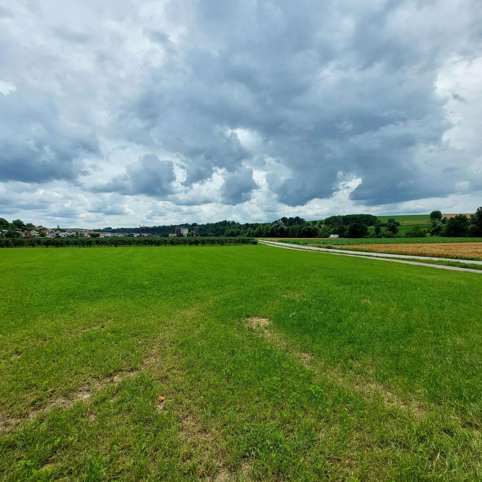
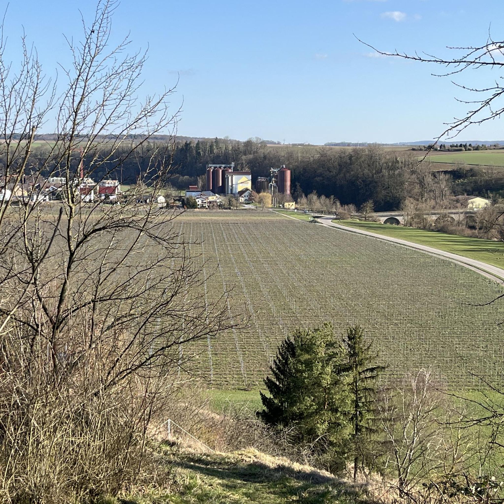
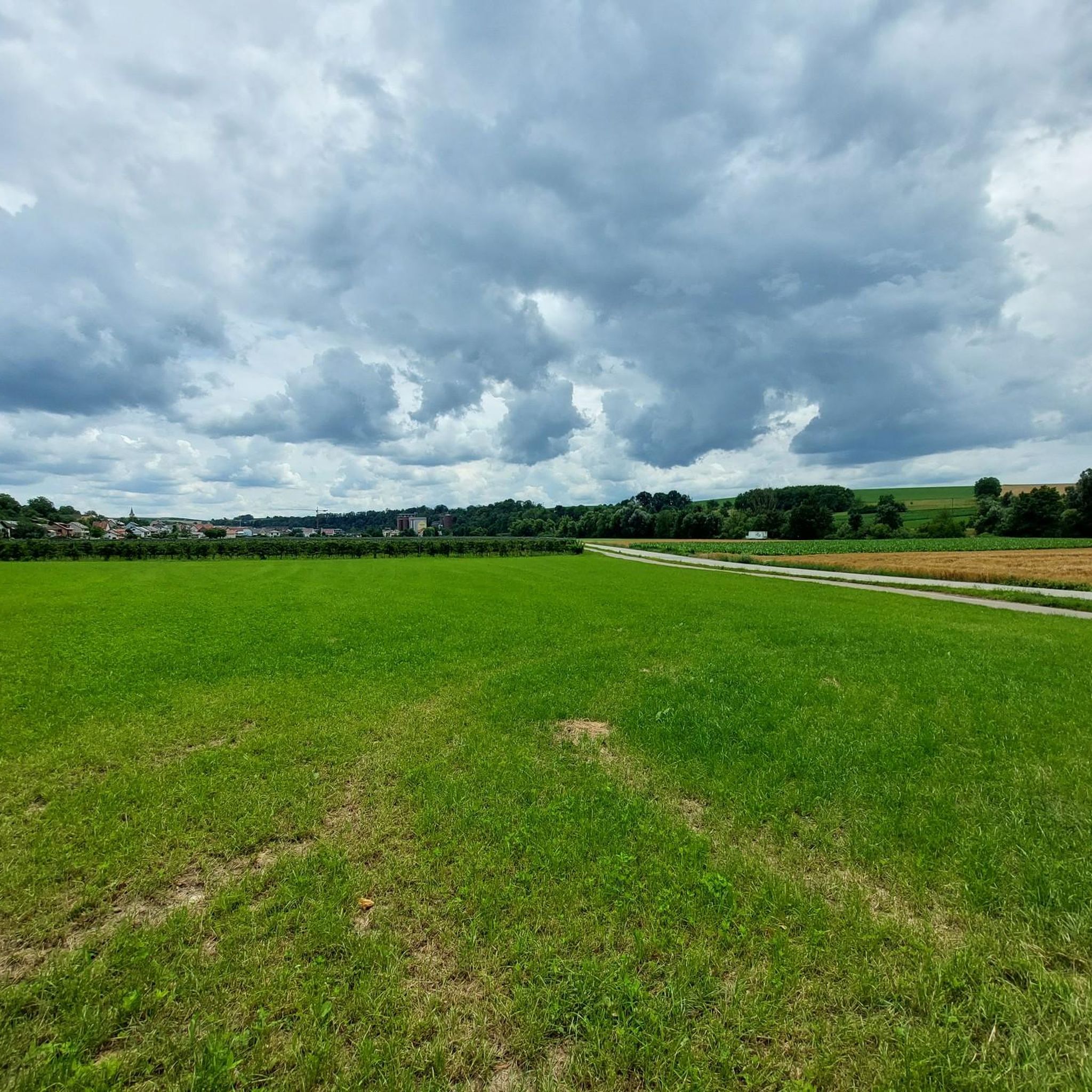
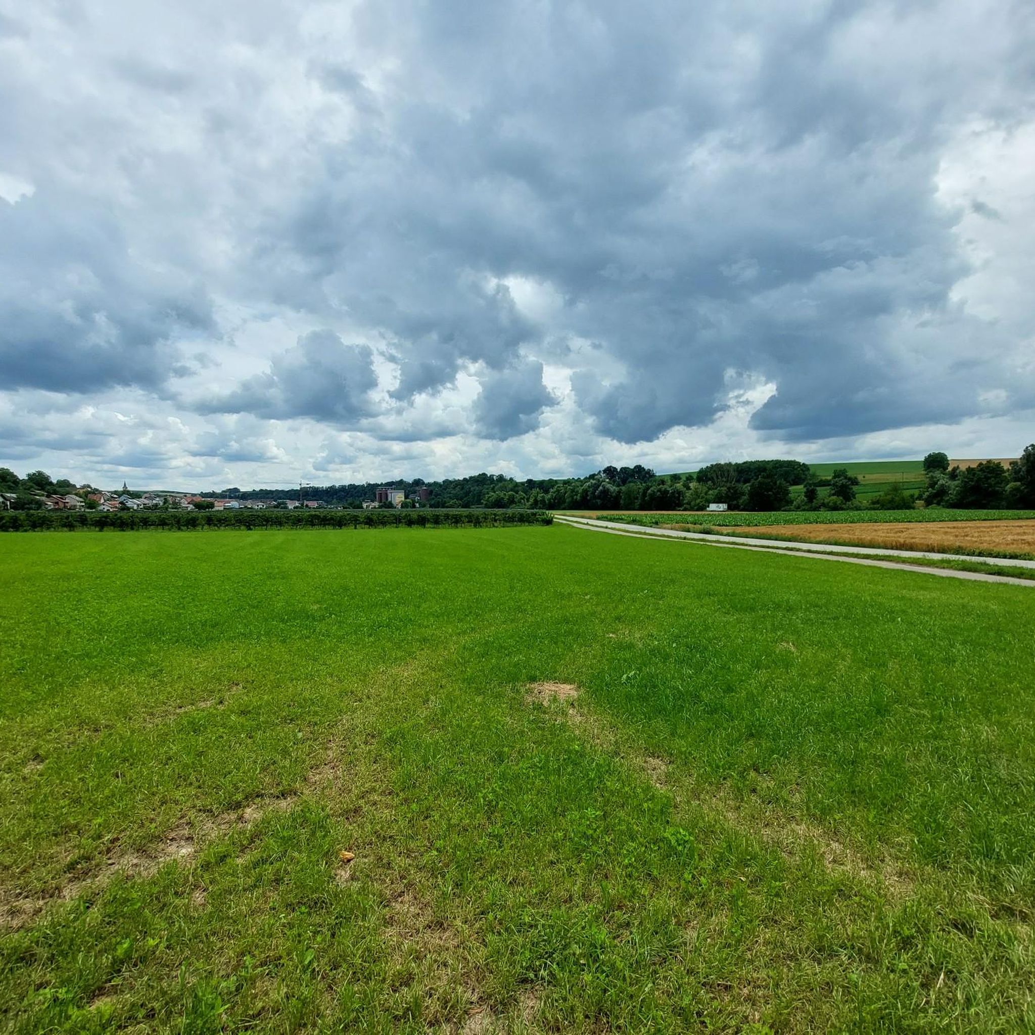

Tips from the Community

Hydroelectric power plant in Sindringen Hohenlohe
0
0

Drinks and pizza. Toilet in the train car
0
0

Bridge with information panel and magnificent view of the Kocher Canal.
6
0
Former railway bridge of the Lower Kochertal Railway, which is now used as a pedestrian and bicycle path and also offers beautiful views of the Kocher river.
6
0
Former station of the lower Kochertal railway. Today, a small restaurant is located here.
6
0
Dam for hydropower energy generation on the Kocher Canal.
5
0

Here the Kocher is dammed and runs parallel to the river through the valley.
0
0

Frequently Asked Questions
How many running routes are available in Hardthausen am Kocher?
There are currently 12 diverse running routes around Hardthausen am Kocher listed on komoot, offering a range of experiences for joggers of all levels.
What kind of terrain can I expect on the jogging routes around Hardthausen am Kocher?
The region offers a varied landscape for running. You'll find paths winding along the Kocher River in gentle meadow valleys, extensive trails through the Harthäuser Wald (Harthausen Forest), and routes traversing rolling hills and traditional orchards. This mix provides both flatter stretches and more challenging inclines.
Are there any easy or beginner-friendly running paths in the area?
Yes, Hardthausen am Kocher offers routes suitable for beginners. Out of the 12 available routes, 2 are classified as easy. These paths are generally flatter and shorter, perfect for those starting out or looking for a relaxed run.
Can I find routes suitable for families in Hardthausen am Kocher?
While specific 'family-friendly' designations aren't always explicit, routes with gentler terrain and shorter distances are often ideal for families. The paths along the Kocher Valley, for instance, tend to be less strenuous. Always check the route details for elevation and distance to ensure it suits your family's needs.
Are the running trails around Hardthausen am Kocher dog-friendly?
Many of the natural trails through the forests and along the river are generally suitable for dogs, provided they are kept on a leash and you follow local regulations. The diverse landscapes, especially the forest paths, offer plenty of opportunities for you and your canine companion to enjoy a run together.
What natural features or landmarks can I see while jogging?
The routes often provide scenic views of the Kocher Valley, the winding Kocher River, and the expansive Harthausen Forest. Some trails might also lead you past traditional orchards. For specific points of interest, you could explore areas near Brettach Forest Lake or the Henkersbrunnen with lake and barbecue area, which are popular highlights in the broader region.
Are there any running routes that pass by waterfalls?
While Hardthausen am Kocher is known for its river and forest landscapes, the wider region does feature some charming waterfalls. For example, the Water Wheels and Waterfall in Tiefenbachtal or the Honigbach Waterfalls are notable highlights in nearby areas that could be incorporated into a longer exploration.
Are there any circular running routes in Hardthausen am Kocher?
Yes, many of the running routes in the area are designed as loops. A popular example is the Running loop from Hardthausen am Kocher, which is 4.7 miles (7.6 km) long. Another option is the Trüber Brunnen loop from Lampoldshausen, Raumfahrtzentrum, covering 5.6 miles (9.0 km).
What do other runners say about the trails in Hardthausen am Kocher?
The running routes in Hardthausen am Kocher are highly regarded by the komoot community, boasting an impressive average rating of 4.5 stars from over 230 reviews. Runners often praise the varied terrain, the scenic views of the Kocher Valley, and the well-maintained network of trails that cater to different fitness levels.
When is the best time of year to go jogging in Hardthausen am Kocher?
Spring and autumn are particularly recommended for outdoor activities in Hardthausen am Kocher. During these seasons, nature is either in full bloom or displaying vibrant fall colors, enhancing the scenic beauty of your run. The temperatures are also generally milder and more comfortable for jogging.
Are there options for longer running routes for more experienced runners?
Absolutely. For those seeking a longer challenge, the Kocher Cycle Path – Ohrnberg town centre loop from Hardthausen am Kocher is a great option. This route spans 10.4 miles (16.7 km) and is classified as difficult, offering a significant workout through the Kocher Valley.
What are the elevation changes like on the running routes?
The elevation changes vary, reflecting the diverse landscape. Routes range from approximately 180 to 334 meters above sea level. For instance, the Running loop from Hardthausen am Kocher has a gentle elevation gain of 114 meters, while longer routes like the Kocher Cycle Path – Ohrnberg town centre loop feature a more substantial gain of 192 meters.
Most popular routes around Hardthausen am Kocher
Most popular attractions around Hardthausen am Kocher

Get inspired with the komoot mobile app


Explore more
Browse the best Running Trails & Routes in other regions.
