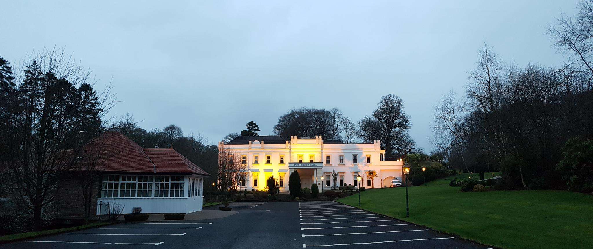
The best walks and hikes around Carndonaghy
3.7
(6)
110
hikers
11
hikes
Hiking around Carndonaghy, located on the Inishowen Peninsula, offers a mix of coastal paths, remote moorland, and routes through rolling hills. The area's geography provides varied terrain, from sandy beaches and sea cliffs to inland loughs and bog roads. Many trails follow historic cart tracks and laneways, with options for different fitness levels.
Best hiking trails around Carndonaghy
- The most popular hiking route is Devenagh Burn Riverbank loop from Ballymena, a 4.1 miles (6.6 km) trail that takes 1 hour 41 minutes to complete. This easy route follows the river through varied landscapes.
- Another top favourite among local hikers is Galgorm Castle loop from Ballymena, an easy 3.0 miles (4.9 km) path. The trail is mostly flat, making it suitable for a wide range of hikers.
- Local hikers also love the View of the River Bann loop from Portglenone, a 2.3 miles (3.6 km) trail leading through riverside scenery, often completed in about 58 minutes.
- Hiking around Carndonaghy is defined by coastal paths, routes to inland loughs, and walks across open moorland. The network of trails provides routes for both easy, family-friendly walks and more challenging hikes.
- The routes in Carndonaghy are highly rated by the komoot community with an average score of 3.7 stars from a number of reviews. More than 100 hikers have used komoot to explore Carndonaghy's varied terrain.
Last updated: May 21, 2026
5.0
(4)
30
hikers
6.62km
01:42
30m
30m
Easy hike. Great for any fitness level. Easily-accessible paths. Suitable for all skill levels.
4
hikers
4.88km
01:17
50m
50m
Easy hike. Great for any fitness level. Easily-accessible paths. Suitable for all skill levels.
5.0
(1)
3
hikers
9.05km
02:21
60m
60m
Moderate hike. Good fitness required. Easily-accessible paths. Suitable for all skill levels.
Get access to more routes and recommendations from other explorers.
Sign up for free
Already have an account?
Our route recommendations are based on thousands of hikes, rides, and runs completed by other people on komoot.
Start today with a free account
Your next adventure awaits.
Login or Signup
Popular around Carndonaghy



Frequently Asked Questions
Are there any family-friendly walks near Carndonagh?
Yes, the area offers several options suitable for families. The walk to Glenevin Waterfall is a popular choice, featuring a gentle, well-maintained path along a river that is manageable for children. Another great option is the View of the River Bann loop from Clady, which is a relatively short and flat waterside trail.
What are the best circular walks in the Carndonagh area?
The Inishowen peninsula is known for its excellent loop walks. For a spectacular coastal experience, the Inishowen Head Loop is an 8.5km trail offering views across Lough Foyle. For a more remote and challenging hike, the Urris Lakes Loop is a strenuous 6.5km trail that takes you high into the hills to discover two hidden lakes.
Are there any challenging hikes for experienced walkers?
Definitely. The trek to the summit of Slieve Snaght, the highest peak on the Inishowen Peninsula at 615 meters, offers a true wilderness challenge. The route involves navigating open moorland which can be boggy, but rewards hikers with panoramic views of the entire region.
Can I find any easy or beginner-friendly hikes near Carndonagh?
Yes, there are several easy walks perfect for beginners. The Galgorm Castle loop from Galgorm is a pleasant and mostly flat walk. For a scenic coastal stroll, the Buncrana Shore Path is a highly-regarded paved path with beautiful views, ideal for a relaxed walk.
Where can I find the best scenic viewpoints on a hike?
For dramatic coastal scenery, the trail at Inishowen Head includes a World War II lookout tower with views towards the Scottish coast. For vast, 360-degree panoramas, the summit of Slieve Snaght is unbeatable on a clear day. The Urris Lakes Loop also provides sweeping views over the bay and out to the Atlantic.
Are there any walks that feature waterfalls?
Yes, the trail to Glenevin Waterfall is a must-do. It's a lovely 10-15 minute walk along a riverside path that leads directly to the impressive waterfall. The area includes picnic tables, making it a great spot to relax.
What is the terrain like on the trails around Carndonagh?
The terrain is very diverse. You'll find everything from gentle, paved shore paths like the one in Buncrana to sandy beach walks at Five Fingers Strand. More strenuous hikes like the Urris Lakes Loop and Inishowen Head Loop follow a mix of bog roads, ancient cart tracks, and laneways which can be wet and uneven in places. Proper hiking boots are recommended for these.
Can I bring my dog on the trails?
Many trails in open country, like coastal paths and forest tracks, are suitable for walking with a dog. However, you will likely cross farmland with livestock, particularly sheep. In these areas, it is crucial to keep your dog on a lead at all times. Always check for local signage at trailheads for specific rules.
Are there any pubs or cafes near the walking trails?
Yes, many trails are located near towns and villages with good options for refreshments. After hiking the Glenevin Waterfall trail, the nearby village of Clonmany has pubs and cafes. Similarly, towns like Buncrana and Moville, which are start points for coastal walks, have a wide selection of places to eat and drink.
What do other hikers think of the routes around Carndonagh?
The trails in this guide are well-regarded by the komoot community, with an average rating of 3.7 stars. Hikers often praise the stunning coastal views and the sense of remoteness found on trails like the Urris Lakes Loop. The variety, from easy shore paths to challenging mountain ascents, is a frequently mentioned highlight.
Are there any historical sites I can see on a walk?
Yes, the region is rich in history. The Inishowen Head Loop takes you past a World War II lookout tower, which served as a key observation post. Many other routes follow ancient cart tracks and laneways that have been used for centuries, connecting you with the area's past.
Most popular routes around Carndonaghy

Get inspired with the komoot mobile app


Explore more
Browse the best Hikes in other regions.
