The best mountain hikes around Wiesloch
4.0
(2)
16
hikers
2
hikes
Mountaineering around Wiesloch offers routes through the varied terrain of the Rhein-Neckar-Kreis region. The area is characterized by forested hills and elevations that provide opportunities for both gentle ascents and more challenging climbs. Routes often traverse woodlands and open areas, leading to scenic viewpoints. The landscape provides a diverse setting for outdoor activities, with options for different skill levels.
Best mountaineering routes around Wiesloch
- The most popular mountaineering route is Heidelberg Castle – View from Königstuhl loop from Max Planck…
Last updated: October 5, 2026
5.0
(1)
1
hikers
Moderate mountaineering route. Good fitness required. Easily-accessible paths. Suitable for all skill levels.
3.0
(1)
13
hikers
Easy mountaineering route. Great for any fitness level. Easily-accessible paths. Suitable for all skill levels.

1
hikers
Easy mountaineering route. Great for any fitness level. Easily-accessible paths. Suitable for all skill levels.
1
hikers
3.34km
01:24
270m
280m
Easy mountaineering route. Great for any fitness level. Easily-accessible paths. Suitable for all skill levels.
Our route recommendations are based on thousands of hikes, rides, and runs completed by other people on komoot.
Start today with a free account
Your next adventure awaits.
Popular around Wiesloch
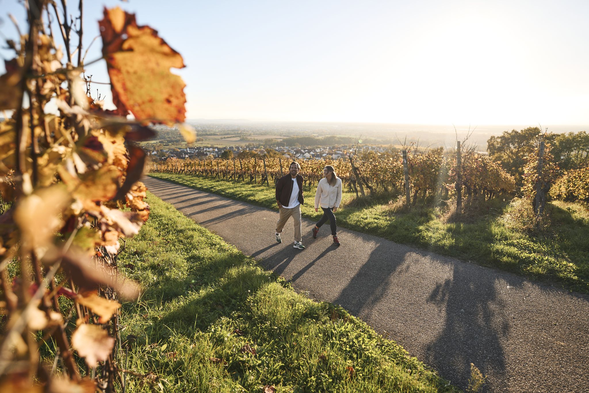
Fine drops and local cuisine – gourmet hiking in the Süden ganz oben
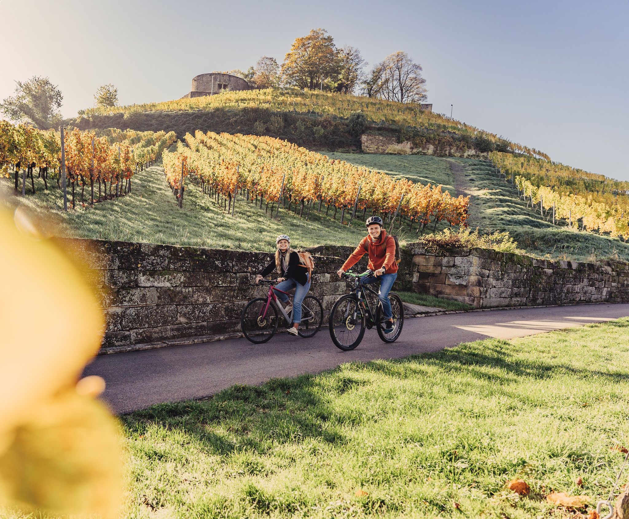
Cycling for pleasure in the north of Baden-Württemberg
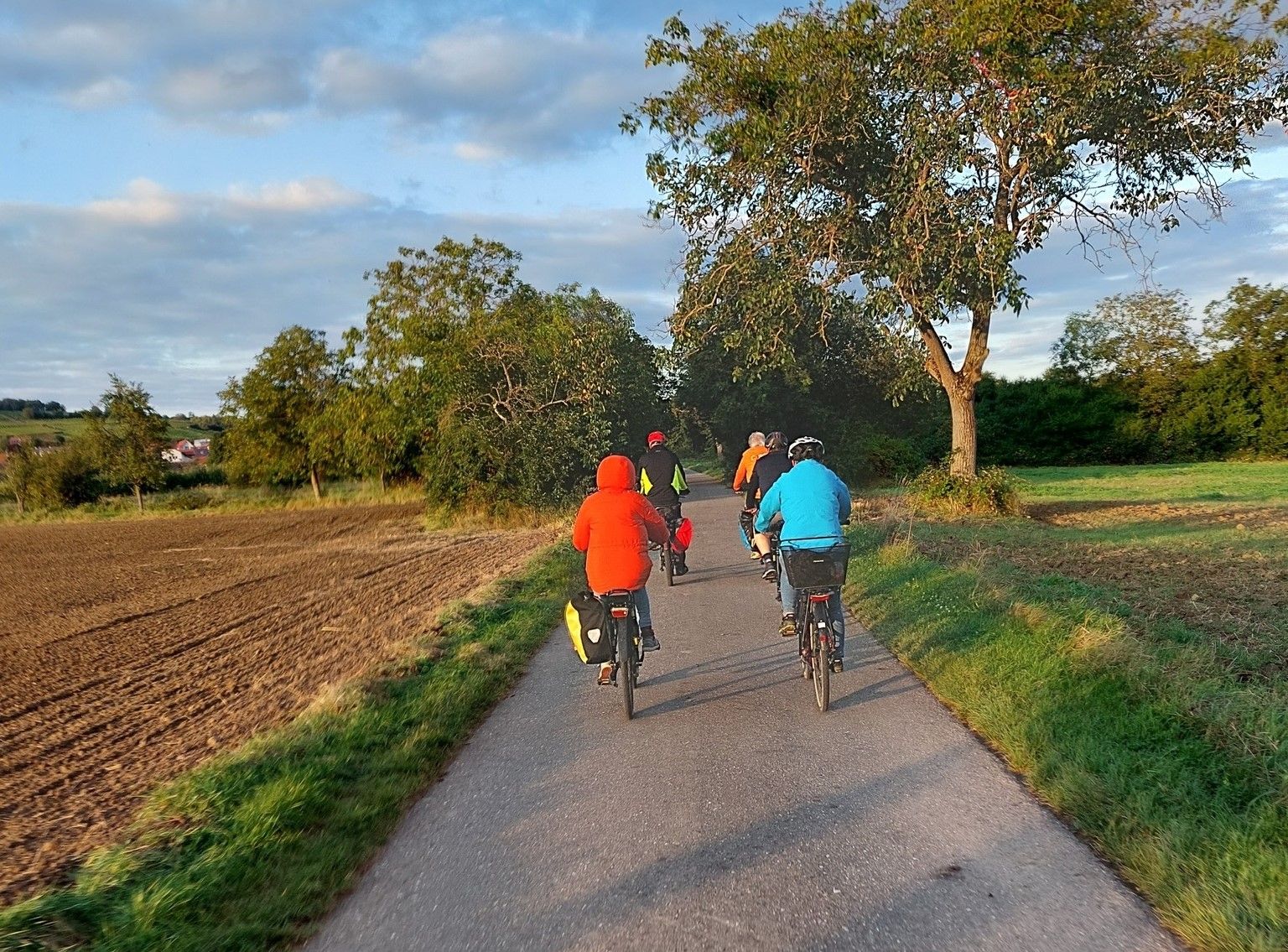
ADFC Wiesloch/Walldorf: After work cycling
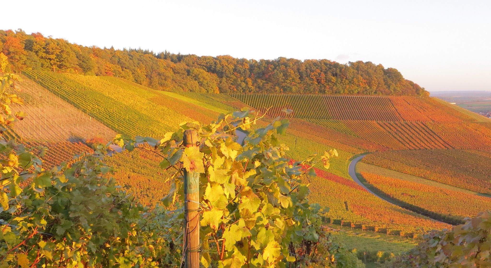
ADFC Wiesloch/Walldorf: Beautiful day tours in Kraichgau, the 'Land of 1000 hills'
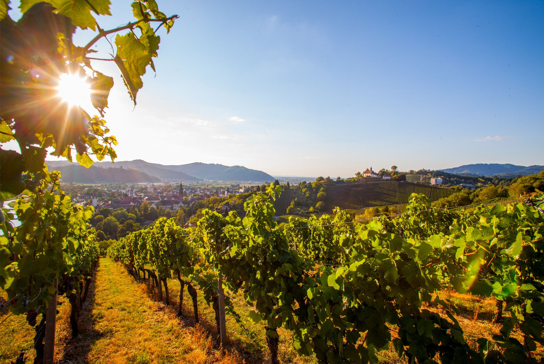
Right the Black Forest, left the Rhine – the Baden Wine Cycle Route
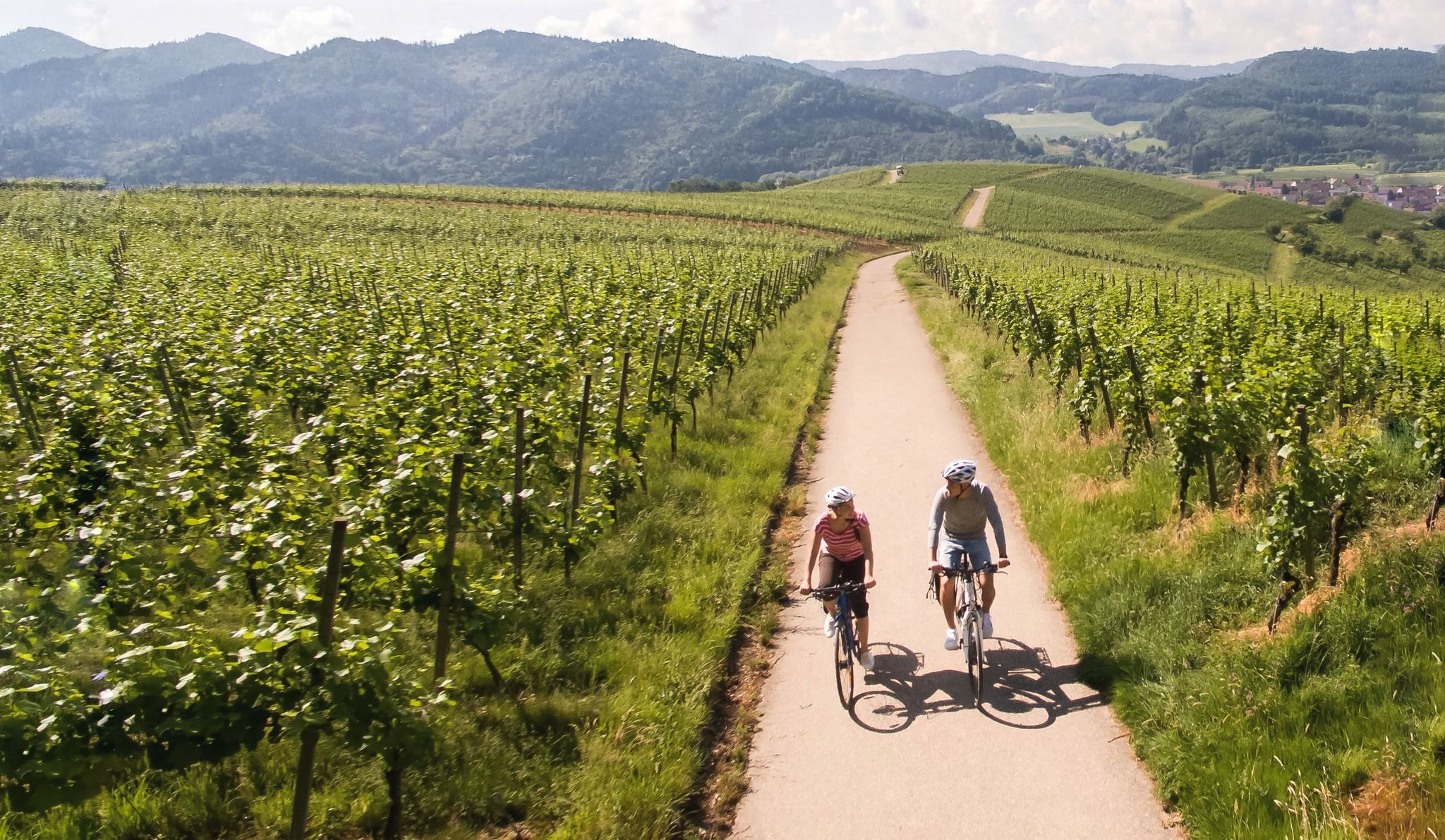
Vineyards and the Rhine Valley – the Baden Wine Cycle Route
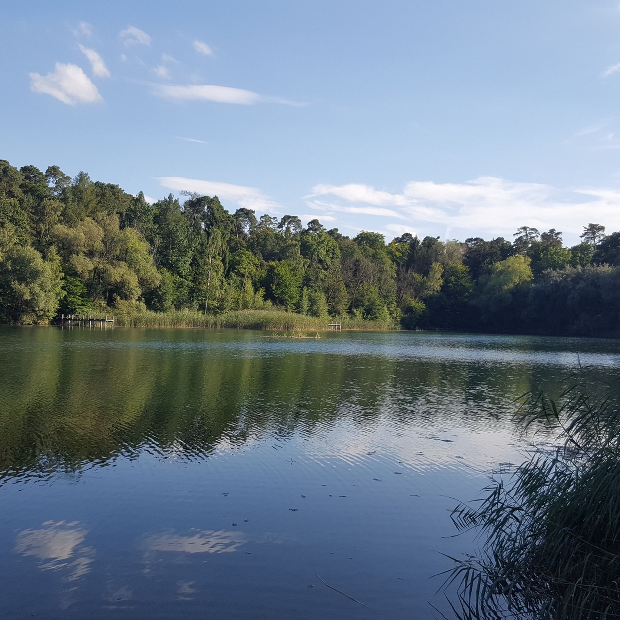
Cycling around Wiesloch
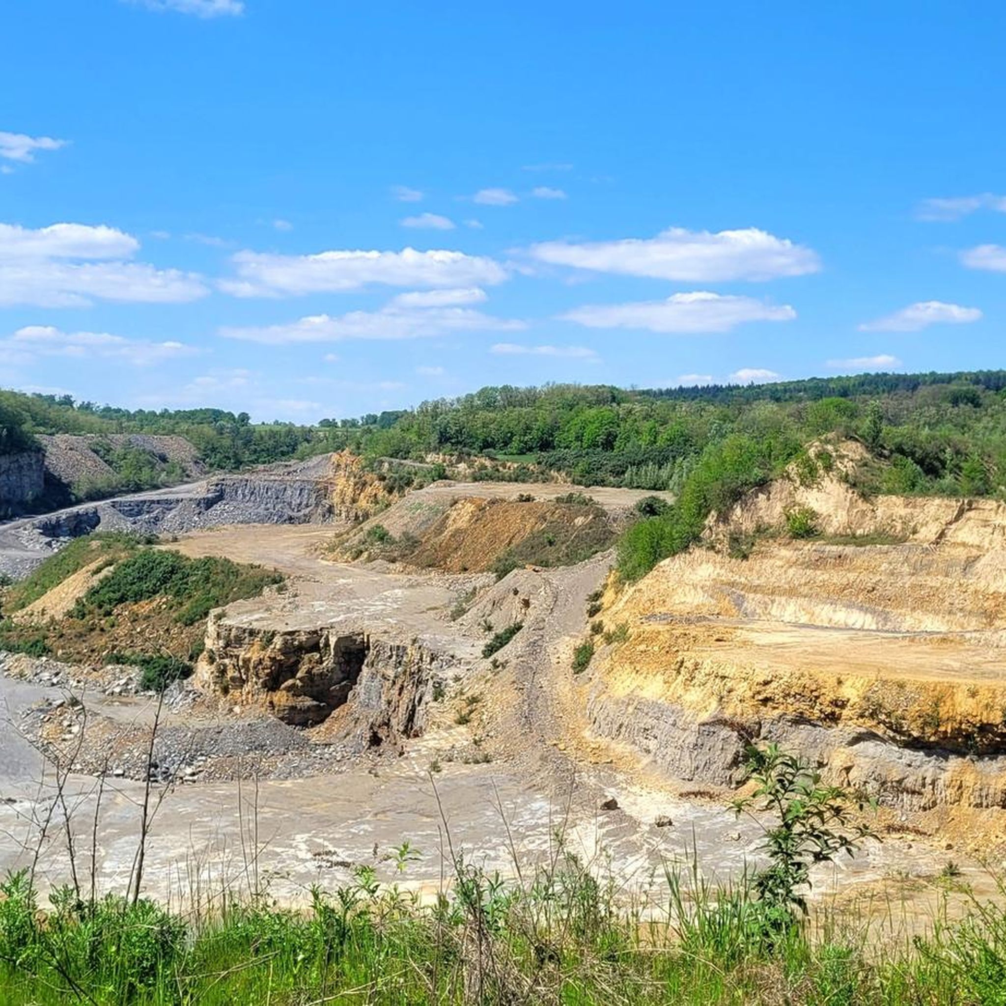
Road Cycling Routes around Wiesloch
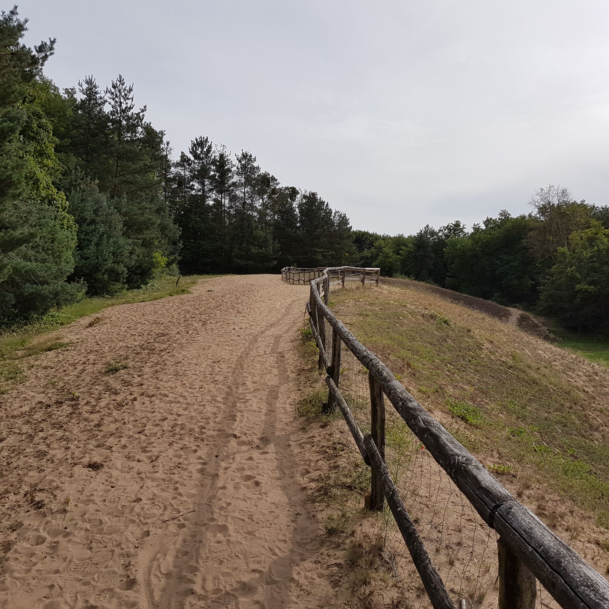
Hiking around Wiesloch
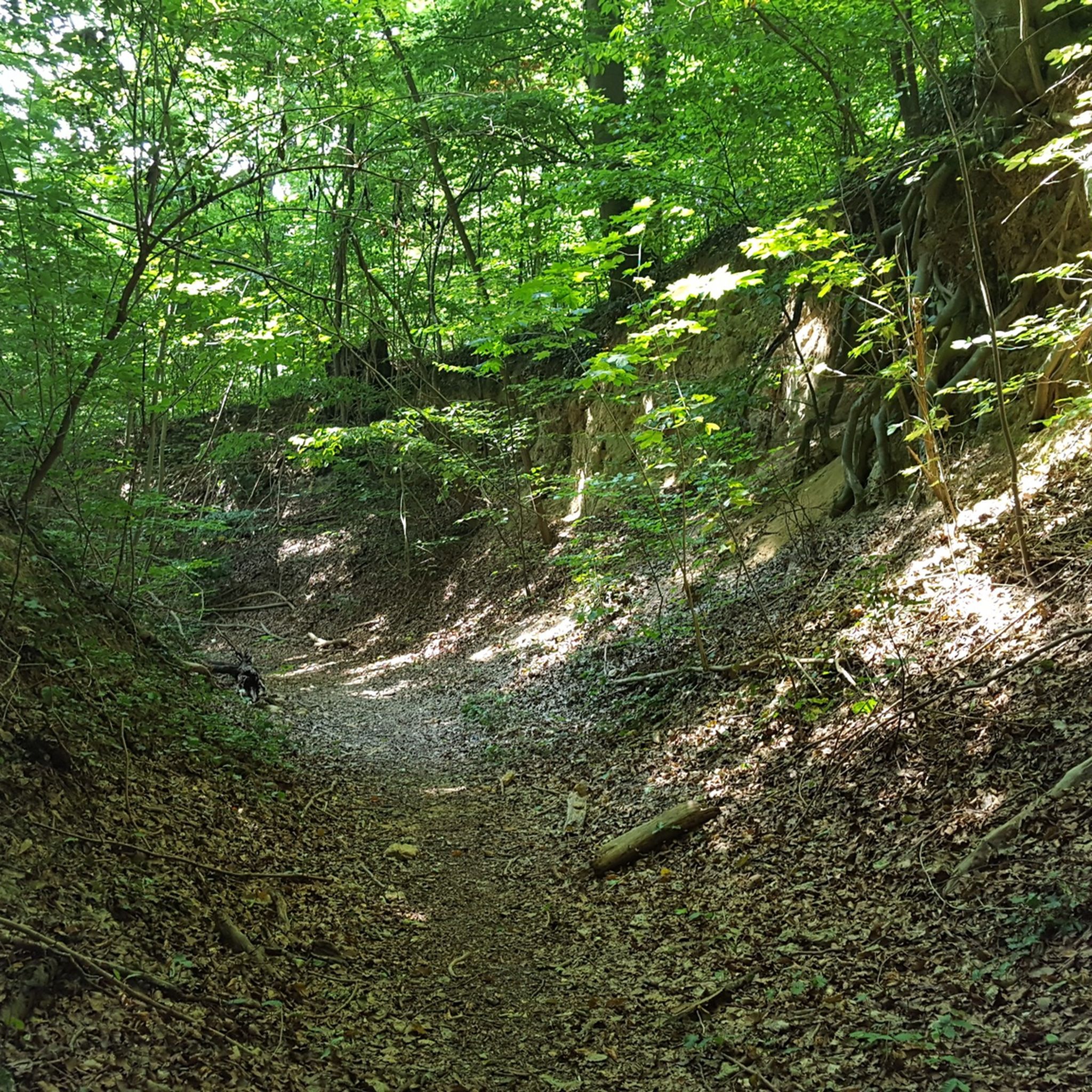
MTB Trails around Wiesloch
Other adventures around Wiesloch


Tips from the Community

... take a hat with you. When you sweat, the wind blows on the Königstuhl
0
0

The giant sequoias are truly impressive! 🤩🌳 #GiantSequoias #Nature #Trees #Size #Wonder
0
0

The small car park above Heidelberg Castle is located right at the foot of the "Stairway to Heaven". The staircase made of natural steps leads steeply up to the "Königsstuhl". The "Neckarsteig" also begins at the car park, directly with the "Stairway to Heaven".
6
0
It's good to take a short rest on the bench when going up or down. What's more, now in winter you can also catch a glimpse of the Neckar between the trees 🌳 🌳 🌳.
5
0

The Berg-Gasthof Königstuhl is located on the highest point in Heidelberg, directly above the famous castle. At an altitude of 570 meters, the inn offers a breathtaking view of the city and the surrounding countryside. The inn has a restaurant called Bergstube, which is open daily from 12 noon and offers hot meals throughout. In addition to the restaurant, there is also a hotel with 62 rooms that combines history and modern comfort.
8
0
At the foot of the Stairway to Heaven and a little above the castle is the free hiking car park. There aren't many parking spaces, but there is usually something available. An absolute insider tip.
9
0
The bench offers a nice place to rest during the difficult Königstuhl ascent or descent via the Himmelsleiter. You also have a wonderful view.
10
1
The bench offers a nice place to rest during the difficult Königstuhl ascent or descent via the Himmelsleiter. You also have a wonderful view.
9
0
Frequently Asked Questions
Are there easy mountaineering routes suitable for beginners around Wiesloch?
Yes, Wiesloch offers several easy mountaineering routes. For a gentle introduction, consider the View from Königstuhl – Rest Area at the Himmelsleiter loop from Heidelberg, which is just 1.1 miles (1.7 km) long. Another accessible option is the Rest area on the Speyererhofweg – Wolfsrast Rest Area loop from Max Planck Institute for Nuclear Physics, a 3.5-mile (5.7 km) trail through dense woodlands.
What kind of terrain can I expect on mountaineering routes in Wiesloch?
Mountaineering routes around Wiesloch primarily feature forested hills and varied elevations within the Rhein-Neckar-Kreis region. You'll often traverse woodlands and open areas, encountering both gentle ascents and moderate climbs, leading to scenic viewpoints.
Are there any moderate or more challenging mountaineering routes in the area?
For those seeking a moderate challenge, the Heidelberg Castle – View from Königstuhl loop from Max Planck Institute for Nuclear Physics is a great choice. This 6.0-mile (9.6 km) route involves a moderate ascent through forested areas, offering rewarding views towards Heidelberg Castle and the surrounding landscape.
What are some scenic viewpoints or attractions I can see along the routes?
Many routes offer beautiful vistas. For example, the Heidelberg Castle – View from Königstuhl loop provides views of the iconic Heidelberg Castle. The region also features natural highlights like the Dachsenfranz Cave and the Breathing Rock near Rothsnasenhütte, which can be explored separately or in conjunction with your mountaineering trip.
Are there circular mountaineering routes available near Wiesloch?
Yes, all the featured mountaineering routes around Wiesloch are designed as circular loops. This includes options like the Heidelberg Castle – View from Königstuhl loop and the shorter Rest Area at the Himmelsleiter – View from Königstuhl loop from Heidelberg, allowing you to start and end at the same point.
What is the best season for mountaineering in Wiesloch?
The varied terrain around Wiesloch makes it suitable for mountaineering in most seasons. Spring and autumn offer pleasant temperatures and vibrant foliage, while summer provides longer daylight hours. Even in winter, the forested paths can be beautiful, though conditions may require appropriate gear.
What do other mountaineers say about the routes in Wiesloch?
The mountaineering routes in Wiesloch are highly regarded by the komoot community, with an average score of 4.0 stars from over 2 reviews. Users often appreciate the diverse landscape, the well-maintained trails, and the opportunities for both gentle and more challenging climbs.
Are there any family-friendly mountaineering options around Wiesloch?
For families looking for a less strenuous outing, the easier routes are a good fit. The View from Königstuhl – Rest Area at the Himmelsleiter loop from Heidelberg is a short and gentle path, ideal for a quick family walk in nature.
How long do the mountaineering tours typically take?
The duration of tours varies depending on the route and your pace. Shorter, easy paths like the View from Königstuhl – Rest Area at the Himmelsleiter loop can be completed in about an hour. Longer, moderate routes such as the Heidelberg Castle – View from Königstuhl loop typically take around 3 hours and 20 minutes.
Where can I find parking at the trailheads for mountaineering routes near Wiesloch?
Many of the routes around Wiesloch, particularly those starting near Heidelberg or the Max Planck Institute for Nuclear Physics, offer accessible parking options. It's advisable to check specific route details on komoot for precise parking locations and availability before your trip.
What should I wear for mountaineering in the Wiesloch area?
Given the varied terrain and potential for elevation changes, it's recommended to wear sturdy hiking boots with good ankle support. Layered clothing is also advisable to adapt to changing weather conditions, especially when traversing forested areas and open viewpoints. Don't forget water and snacks.
Most popular routes around Wiesloch
Most popular attractions around Wiesloch

Get inspired with the komoot mobile app


Explore more
Browse the best Mountain Hikes & Routes in other regions.
