The best running trails around Waibstadt
4.4
(20)
411
runners
49
runs
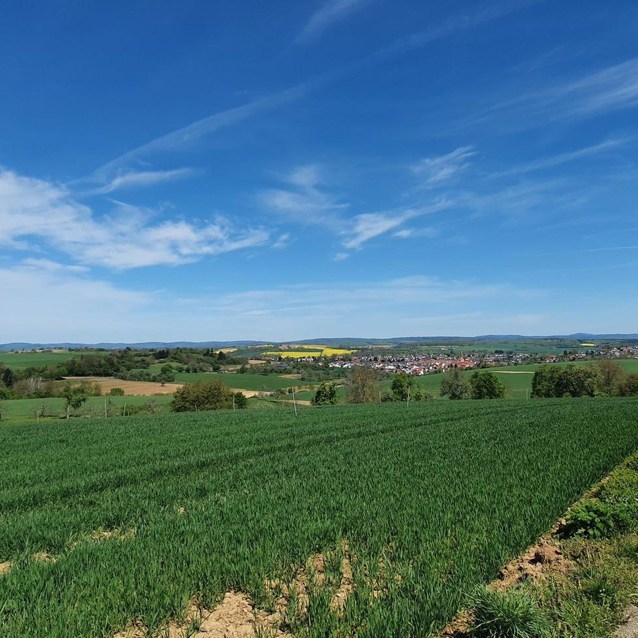
Jogging routes around Waibstadt are set within the northern Kraichgau region, offering diverse landscapes for outdoor activity. The area is defined by rolling hills, over 600 hectares of mixed forests, and river valleys such as the Elsenz and Schwarzbach. This geographical setting provides varied terrain, from accessible paths along rivers to more challenging routes through the Kraichgau hill country.
Best jogging routes around Waibstadt
- The most popular jogging route is Border Trail – Intersection Hubweg/Neuwiesenweg loop from Waibstadt, a…
Last updated: September 29, 2026
3.9
(7)
94
runners
Hard run. Very good fitness required. Mostly paved surfaces. Suitable for all skill levels.
5.0
(1)
30
runners
8.15km
00:51
40m
40m
Moderate run. Good fitness required. Mostly paved surfaces. Suitable for all skill levels.

5.0
(1)
15
runners
12.9km
01:22
160m
160m
Moderate run. Good fitness required. Mostly paved surfaces. Suitable for all skill levels.
10
runners
9.68km
01:01
100m
100m
Moderate run. Good fitness required. Mostly paved surfaces. Suitable for all skill levels.
5.0
(1)
8
runners
Hard run. Very good fitness required. Mostly paved surfaces. Suitable for all skill levels.
Get access to more routes and recommendations from other explorers.
Already have an account?
Our route recommendations are based on thousands of hikes, rides, and runs completed by other people on komoot.
Start today with a free account
Your next adventure awaits.


Tips from the Community

A beautiful historical field cross, typical of the cultural landscape and the religious field markers of the Kraichgau region. The sandstone crucifix shows the crucified Christ in the three-nail arrangement with the classic inscription "INRI". Particularly striking is the baroque-style base with the well-preserved, deeply carved Gothic script. The inscription invites hikers and passers-by to devotion: "Behold my Christ for what price your Savior has acquired you. For you, O man, in bloody sweat, for you He has died." Such field crosses were often erected by the citizens of the communities as thanks, for the protection of the harvest, or as stations during processions, for example on Corpus Christi.
0
0

Tempo (handkerchief) with Paul Elstak
0
0
Next time, bring a handkerchief
0
0


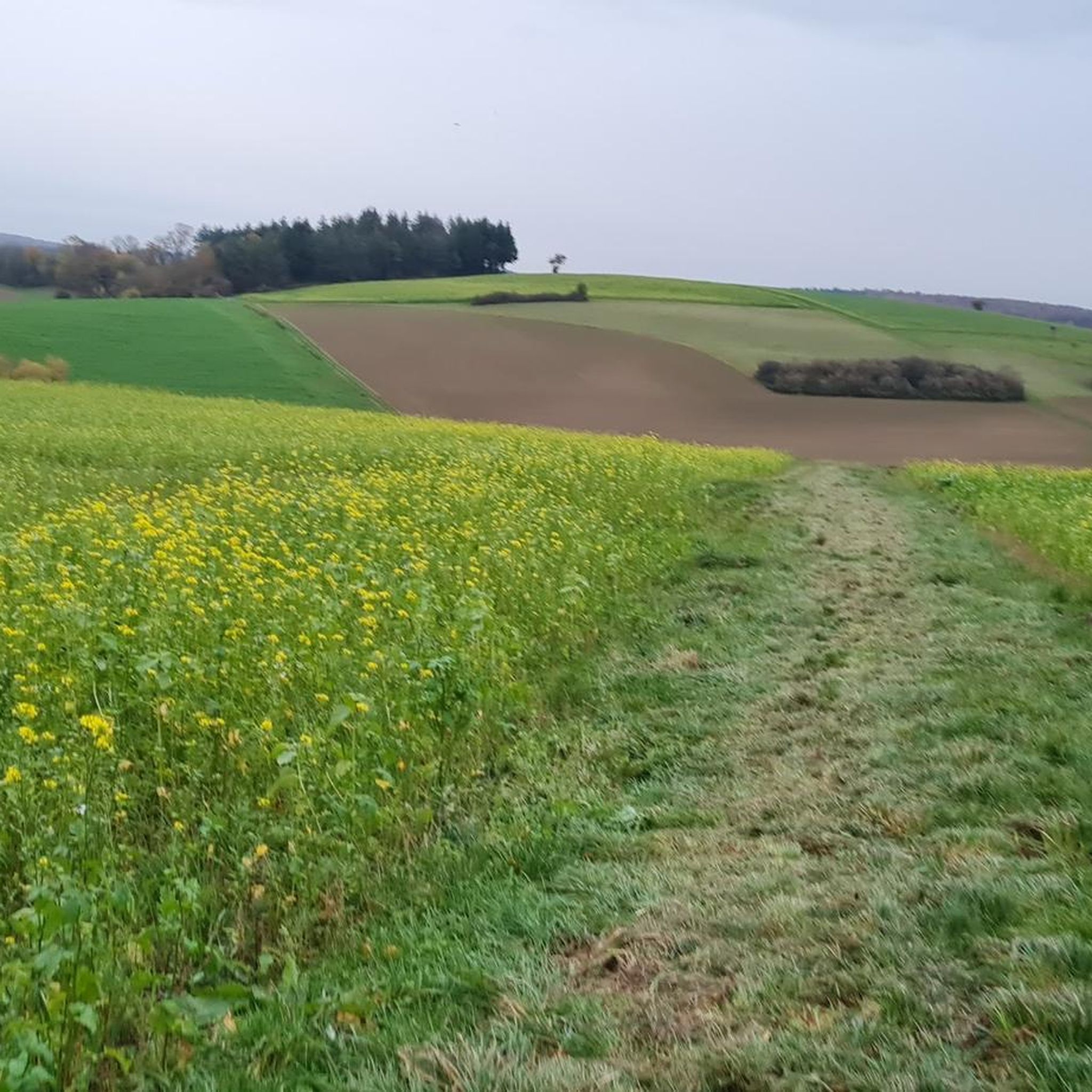
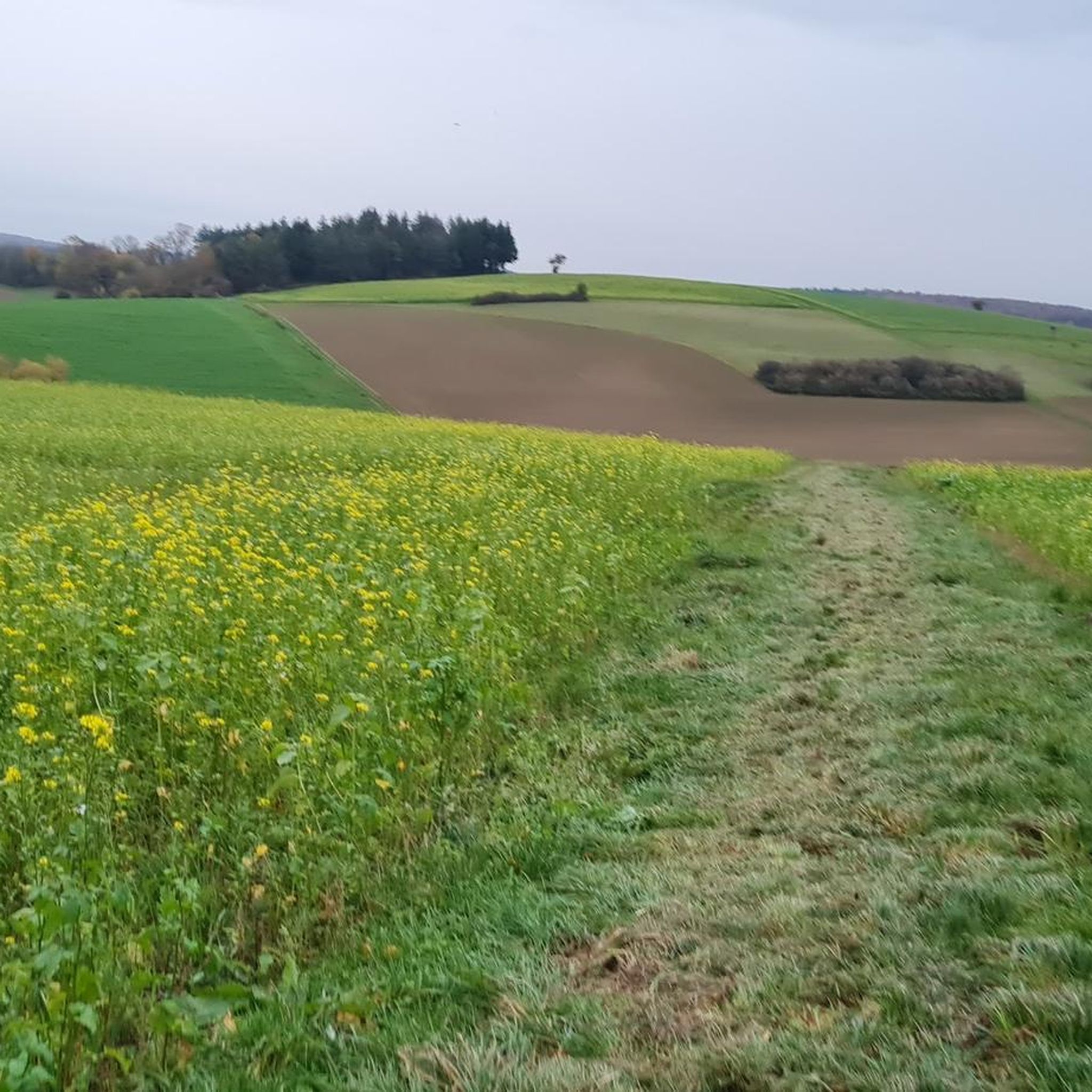
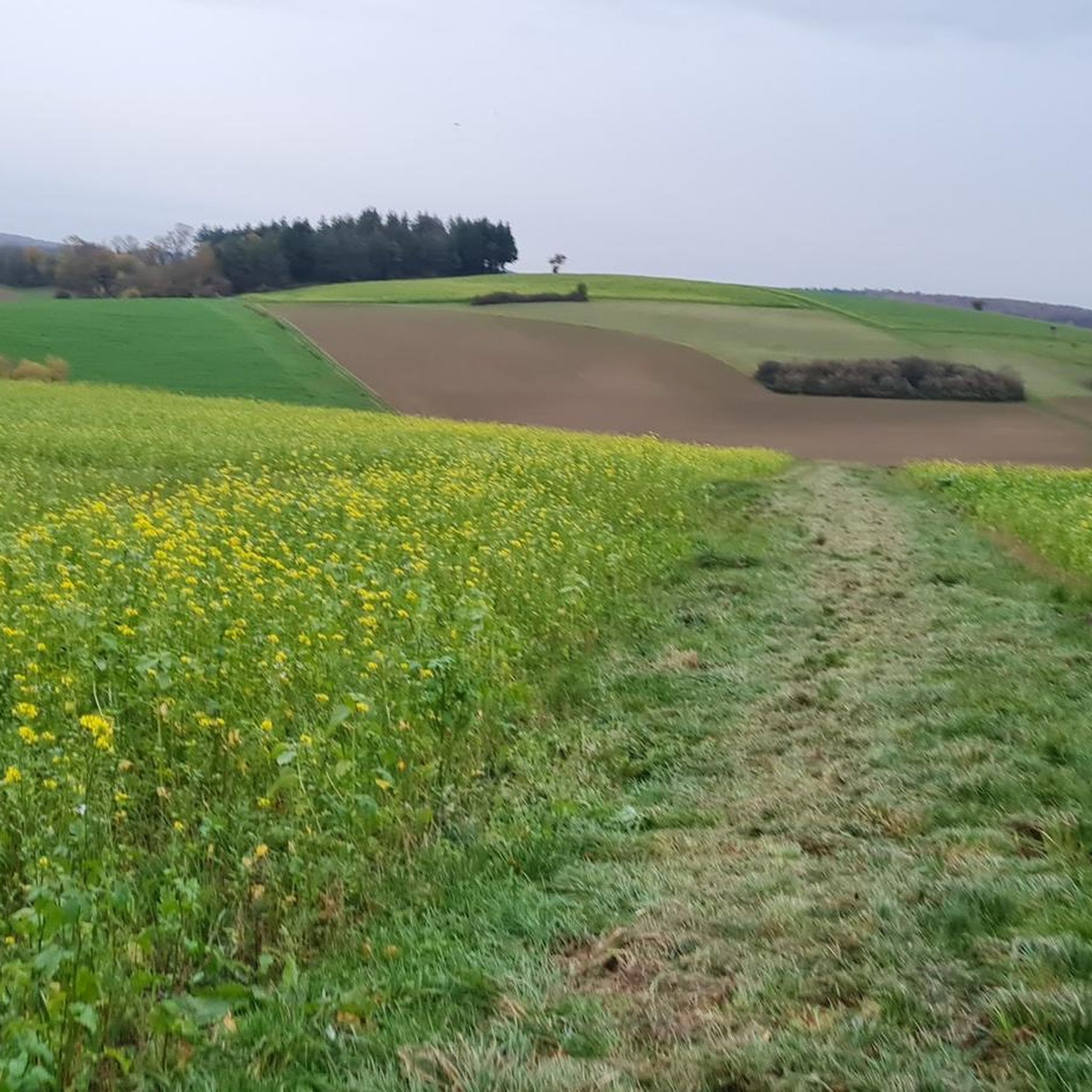
The circular trail shows the diversity of old fruit varieties and native animal and plant species in this ancient cultural landscape.
0
0

The Cathedral of Kraichgau.
0
0

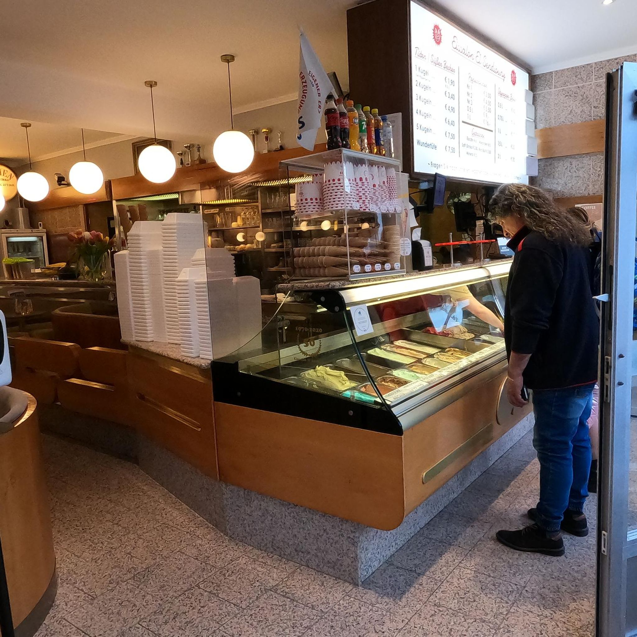
Every year on the second Sunday in August, the Cheesecake Festival takes place here.
1
0
The church determines the townscape through its size and dominance.
1
0
Frequently Asked Questions
How many running routes are available around Waibstadt?
Waibstadt offers a wide selection of running trails, with over 45 routes available for you to explore. These routes cater to various fitness levels, from easy paths to more challenging runs through the Kraichgau hills.
What kind of terrain can I expect on jogging routes in Waibstadt?
The jogging routes in Waibstadt feature diverse terrain. You'll find paths through over 600 hectares of mixed forests, along the Elsenz River and Schwarzbach Valley, and across the rolling Kraichgau hills. Surfaces range from accessible paths to more natural, varied trails.
Are there easy running routes suitable for beginners or families in Waibstadt?
Yes, Waibstadt has several easy running routes perfect for beginners or families. There are 5 routes specifically graded as easy, offering gentle paths through the scenic landscape. Many routes along the Elsenz riverbank also provide pleasant, accessible options.
Can I bring my dog on the running trails in Waibstadt?
While specific regulations can vary, generally, dogs are welcome on most outdoor trails in the Waibstadt region, especially in the extensive forests and natural areas. It's always recommended to keep your dog on a leash and ensure you clean up after them to respect other trail users and wildlife.
Are there any scenic viewpoints or attractions along the running routes?
Absolutely! Many running routes offer scenic views and pass by interesting attractions. You might encounter the unique Orchideenwiese (Orchid Meadow) or enjoy breathtaking views from the Panoramaweg. For historical sights, consider routes near Steinsberg Castle or the Hilsbacher Eichelberg Viewing Platform. The Sinsheim Old Town and its redesigned Elsenzufer also offer pleasant jogging paths with local charm.
What is the best season for jogging in Waibstadt?
The best seasons for jogging in Waibstadt are typically spring and summer. During these months, the landscape is in full bloom, and the mild climate with relatively low rainfall provides ideal conditions for outdoor activities. The refreshing forest air also enhances the experience.
Are there any long-distance running options for experienced runners?
Yes, Waibstadt offers challenging long-distance options for experienced runners. For example, the Border Trail – Intersection Hubweg/Neuwiesenweg loop from Waibstadt is a difficult 13.0-mile (20.9 km) route with significant elevation gain, providing a substantial workout. Another demanding option is the Waibstadt Town Center – Riverside Rest Area at Schwarzbach loop from Waibstadt, covering over 12 miles (20 km).
Where can I park when accessing running trails in Waibstadt?
Parking is generally available at various access points to the running trails around Waibstadt. Many routes start from the town center or near popular natural areas, where public parking facilities can be found. Specific parking details for individual routes are often provided on their respective komoot tour pages.
Are there circular running routes available in Waibstadt?
Yes, the majority of running routes in Waibstadt are designed as circular loops, allowing you to start and finish at the same point. This includes popular options like the Running loop from Waibstadt and the St. Salvator City Church – Waibstadt Town Center loop from Waibstadt, making planning your run convenient.
How do other runners rate the trails in Waibstadt?
The running trails in Waibstadt are highly regarded by the komoot community, boasting an average rating of 4.2 stars from over 10 reviews. Runners frequently praise the varied terrain, the refreshing forest environments, and the well-maintained paths that make for an enjoyable experience.
Can I reach the running trails in Waibstadt using public transport?
Waibstadt is connected by public transport, and many running routes are accessible from the town center or nearby villages. You can often reach starting points for trails by bus or train, particularly those that begin within Waibstadt itself, such as the Shrine of the Virgin Mary – Waibstadt Town Center loop from Waibstadt.
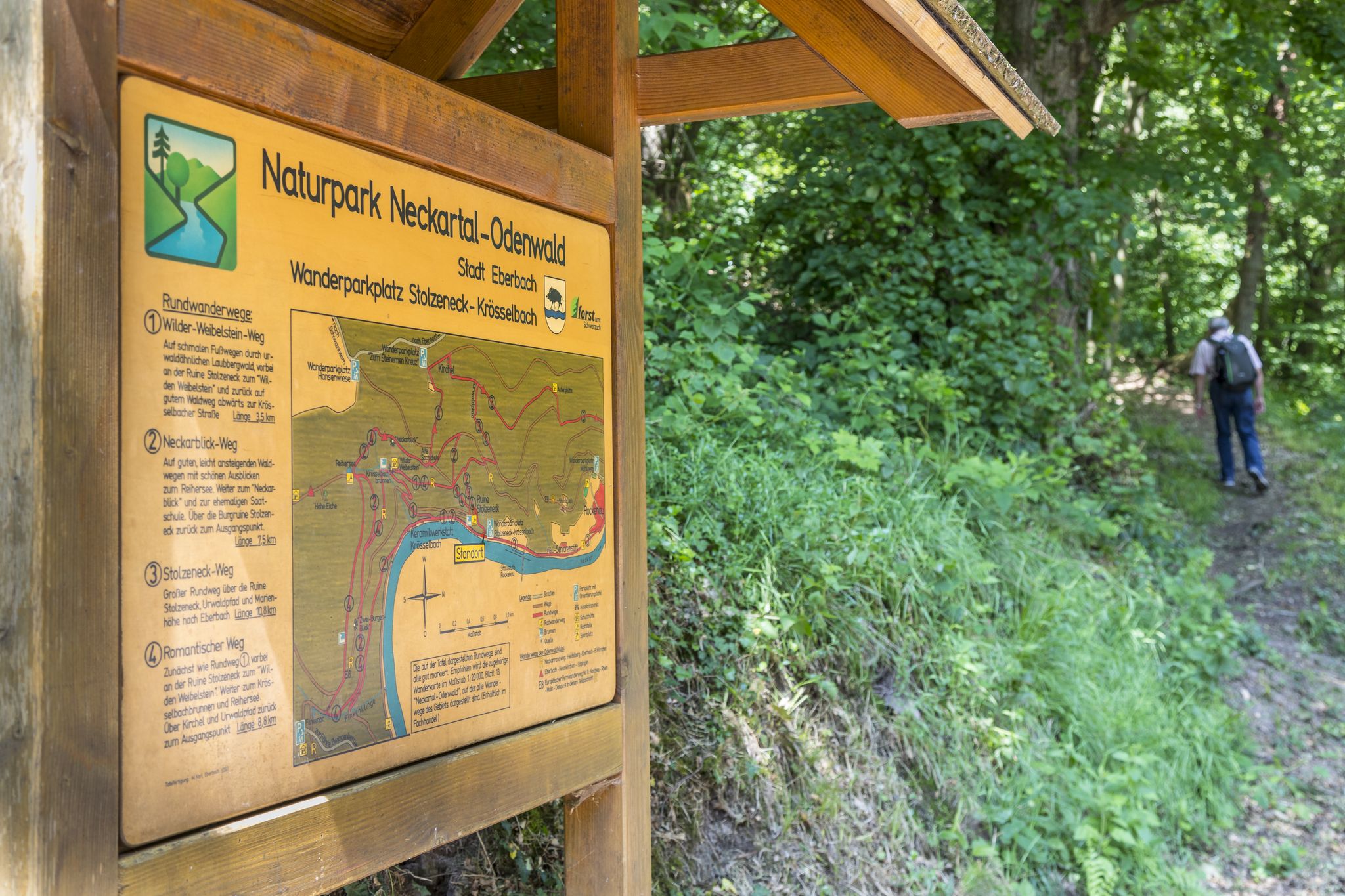
Are there any routes that pass through the Neckartal-Odenwald Nature Park?
Yes, Waibstadt is situated at the transition point to the Neckartal-Odenwald Nature Park. Many trails extend into this diverse area, offering runners the chance to experience its rich flora and fauna within extensive forests and rolling hills. These routes provide a true immersion in nature.
Most popular attractions around Waibstadt

Get inspired with the komoot mobile app


Explore more
Browse the best Running Trails & Routes in other regions.
