The best walks and hikes around Moneyglass
4.5
(5)
116
hikers
10
hikes
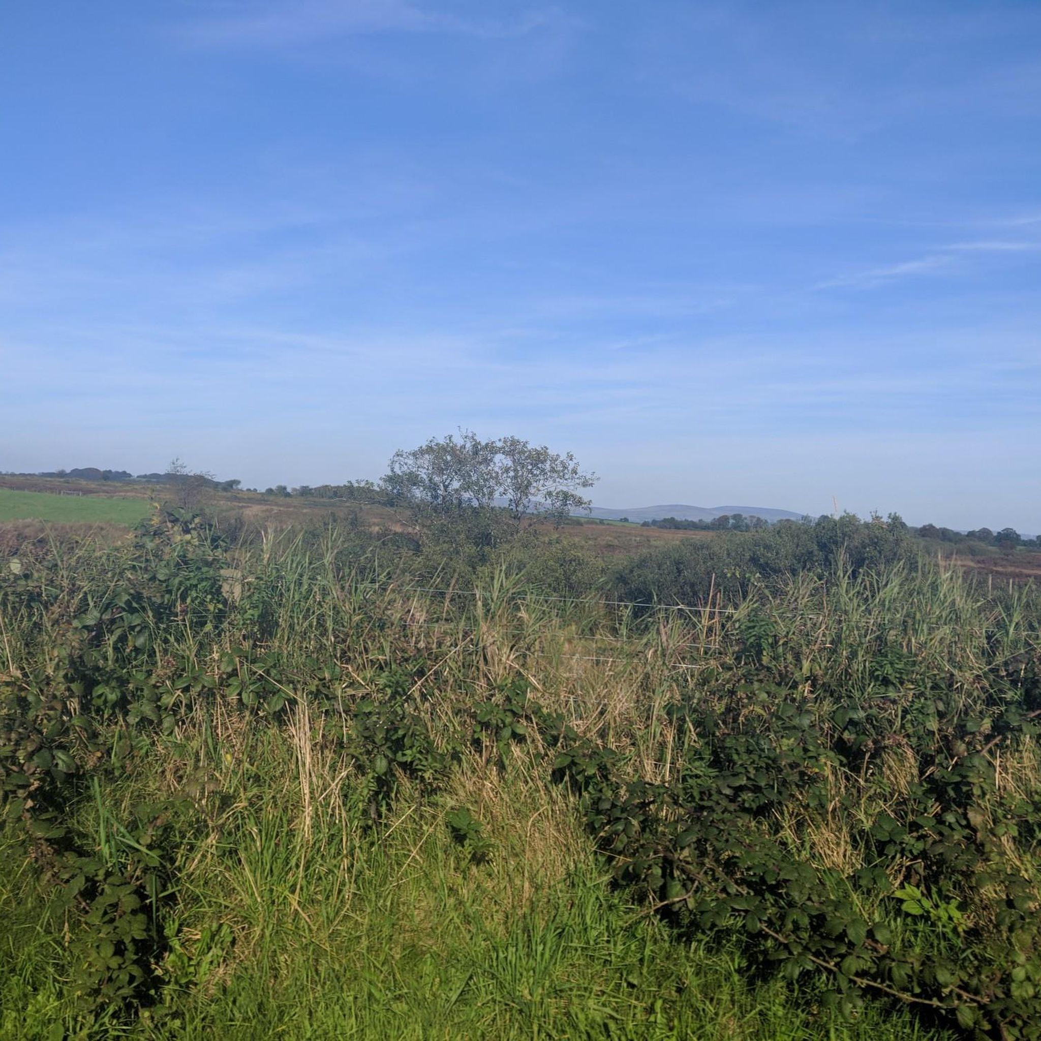
Hiking around Moneyglass is characterized by gentle terrain, often following paths through forests and along waterways like the River Bann. The area is situated near the shores of Lough Beg, providing a landscape of wet grasslands and woodlands with minimal elevation gain. These features make the region's network of trails accessible for most fitness levels. The terrain is generally flat, making it suitable for casual walks.
Best hiking trails around Moneyglass
- The most popular hiking route is Randalstown Heritage Houses…
Last updated: October 12, 2026
5.0
(2)
47
hikers
4.24km
01:06
20m
20m
Easy hike. Great for any fitness level. Easily-accessible paths. Suitable for all skill levels.
3.0
(1)
7
hikers
11.3km
02:58
100m
100m
Moderate hike. Good fitness required. Easily-accessible paths. Suitable for all skill levels.

8
hikers
Easy hike. Great for any fitness level. Easily-accessible paths. Suitable for all skill levels.
5.0
(1)
6
hikers
3.22km
00:50
20m
20m
Easy hike. Great for any fitness level. Easily-accessible paths. Suitable for all skill levels.
3
hikers
8.91km
02:18
50m
50m
Moderate hike. Good fitness required. Easily-accessible paths. Suitable for all skill levels.
Get access to more routes and recommendations from other explorers.
Already have an account?
Our route recommendations are based on thousands of hikes, rides, and runs completed by other people on komoot.
Start today with a free account
Your next adventure awaits.
Popular around Moneyglass
Tips from the Community

A row of terraced houses just outside the town of Randalstown. An important military location, these houses could've been used as barracks or staff housing. The symmetry of these houses is very pleasing as you ride past.
0
0

A 430 acre mixed conifer forest that contains an owl conservation centre, deer park and several walking routes. Within the deer enclosure, there is the opportunity to quietly observe up to 25 resident fallow deer. There are also two small adjacent nature reserves at the forest edge on the shores of Lough Neagh.
0
0

Nice small town to walk around and some great history of Randalstown
1
0
Frequently Asked Questions
What is the general difficulty of the walking trails around Moneyglass?
The trails in this area are generally considered easy, featuring gentle terrain with minimal elevation gain. Most routes follow paths through forests and along waterways like the River Bann or the shores of Lough Beg, making them accessible for most fitness levels.
Are there any good circular walks available?
Yes, many of the routes in the area are loops. For a shorter, pleasant walk through woodland, the Randalstown Forest loop from Randalstown is a great option that takes about 50 minutes to complete.
Can you recommend a good walk for families?
The Rarh loop from Randalstown is an excellent choice for a family outing. It's an easy walk with very little climbing, following flat paths that are suitable for walkers of all ages.
Are the hiking trails around Moneyglass suitable for dogs?
Many of the trails in the region are dog-friendly, especially in open areas like Rea's Wood. However, it's always best to keep dogs on a lead, particularly in nature reserves like Lough Beg to protect wildlife, and in areas where livestock may be present.
Where can I find parking for the trails?
Most trails start in or near towns like Randalstown where street parking is available. For specific attractions, dedicated car parks are often provided. For example, the highly-regarded Divis and the Black Mountain has a car park, though it can fill up quickly. There is also free parking at Longpoint Wood for views of Church Island on Lough Beg.
What are the main scenic highlights in the area?
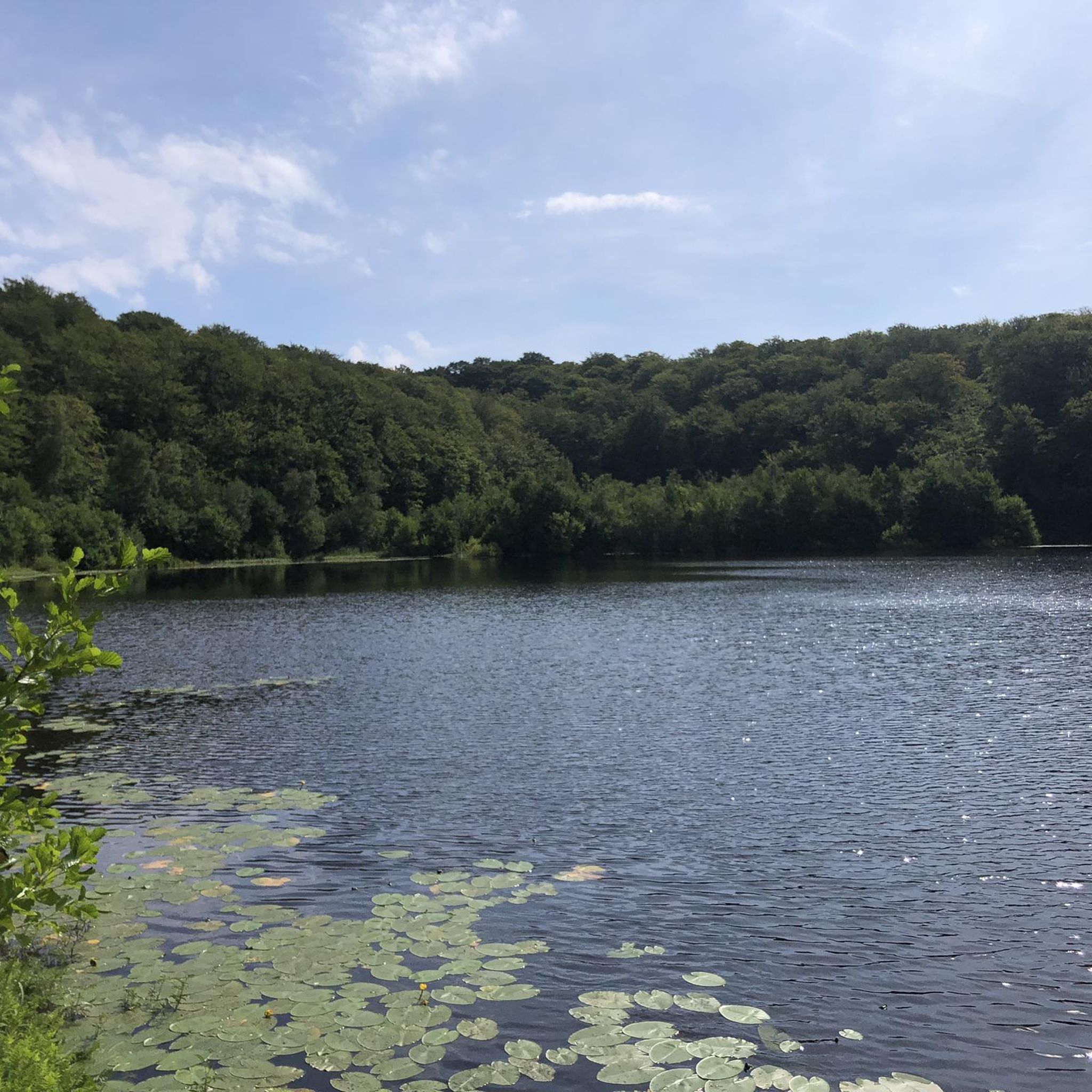
The key natural attractions are Lough Beg and the River Bann. Lough Beg is a National Nature Reserve known for its wet grasslands and abundant birdlife. The River Bann offers peaceful riverside paths. For more dramatic scenery, the cliffs at Sallagh Braes and the panoramic views from Divis and the Black Mountain are popular choices nearby.
Are there any pubs or cafes for a post-hike meal?
While the trails themselves are in natural settings, the nearby towns of Randalstown and Toome offer several pubs and cafes where you can relax after your walk. You'll find traditional options for a meal or a drink a short drive from most trailheads.
What do other hikers think of the routes around Moneyglass?
The area is highly rated by the komoot community, with an average score of 4.5 stars. Hikers often praise the peaceful atmosphere of the forest trails and the scenic, flat paths along the river and lough shores.
What kind of gear is needed for hiking here?
For most trails around Moneyglass, comfortable walking shoes or hiking boots are sufficient. As the weather can be unpredictable, it's always wise to bring waterproof layers. Some paths, especially around Lough Beg, can be muddy after rain, so waterproof footwear is recommended.
Are there any famous filming locations nearby?
Yes, the area has been featured in popular productions. The scenic landscape around the Antrim Coast and Glens Area of Outstanding Natural Beauty, not far from Moneyglass, has served as a backdrop for scenes in the TV series Game of Thrones.
What are some popular places for hiking near Moneyglass?
Besides the local trails, there are several highly-regarded hiking areas nearby:
Drumnaph Nature Reserve: A local favorite on the edge of the Sperrins, offering a delightful mix of natural habitats.
Divis and the Black Mountain: Managed by the National Trust, this spot is famous for its panoramic views over Belfast and the surrounding landscape.
Rea's Wood: A beautiful forest trail along the shores of Lough Neagh, perfect for seeing wildlife.
Most popular routes around Moneyglass

Get inspired with the komoot mobile app


Explore more
Browse the best Hikes in other regions.
