The best running trails around Hockenheim
4.4
(149)
3,552
runners
76
runs
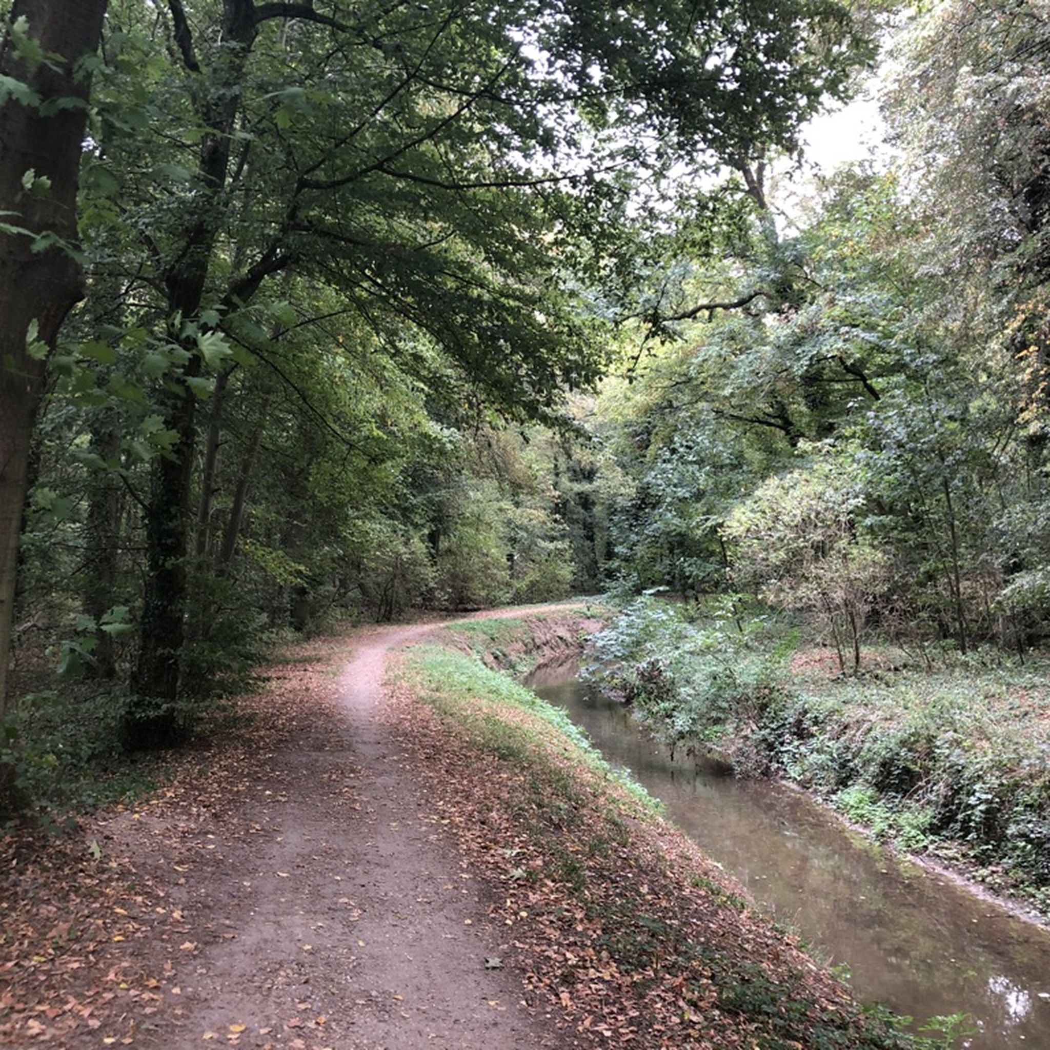
Jogging around Hockenheim offers a network of routes primarily characterized by flat terrain and accessible paths. The region features open turf fields, sections of the Hockenheimer Wald (forest), and paths that trace the perimeter of the famous Hockenheimring racetrack. Elevation changes are minimal, making the area suitable for various fitness levels.
Best jogging routes around Hockenheim
- The most popular jogging route is Hockenheimring – Hockenheimring Racetrack loop from Hockenheimring Baden-Württemberg, a 4.7 miles (7.6 km) trail that takes about…
Last updated: October 5, 2026
4.6
(76)
2,456
runners
Moderate run. Good fitness required. Mostly paved surfaces. Suitable for all skill levels.
4.9
(24)
54
runners
9.81km
01:01
20m
20m
Moderate run. Good fitness required. Mostly paved surfaces. Suitable for all skill levels.

4.0
(1)
50
runners
4.44km
00:29
10m
10m
Easy run. Great for any fitness level. Mostly paved surfaces. Suitable for all skill levels.
5.0
(3)
43
runners
Moderate run. Good fitness required. Mostly paved surfaces. Suitable for all skill levels.
50
runners
Moderate run. Good fitness required. Mostly paved surfaces. Suitable for all skill levels.
Get access to more routes and recommendations from other explorers.
Already have an account?
Our route recommendations are based on thousands of hikes, rides, and runs completed by other people on komoot.
Start today with a free account
Your next adventure awaits.

Tips from the Community

A tight hairpin turn near the Hockenheimring Motodrom. Easy to miss if you’re moving fast — slow down and look for the sharp bend. A fun little technical feature on an otherwise flat route.
0
0
An old stone distance marker from the historical postal road network near Reilingen — a charming piece of local history easily missed at cycling speed. Worth a brief stop.
0
0

They currently have super apricots.
0
0

There is a bench next door for resting.
0
0
A piece of history 🥹
1
0

Old signpost stones
1
0
Here nature is reclaiming the old part of the race track!
1
1

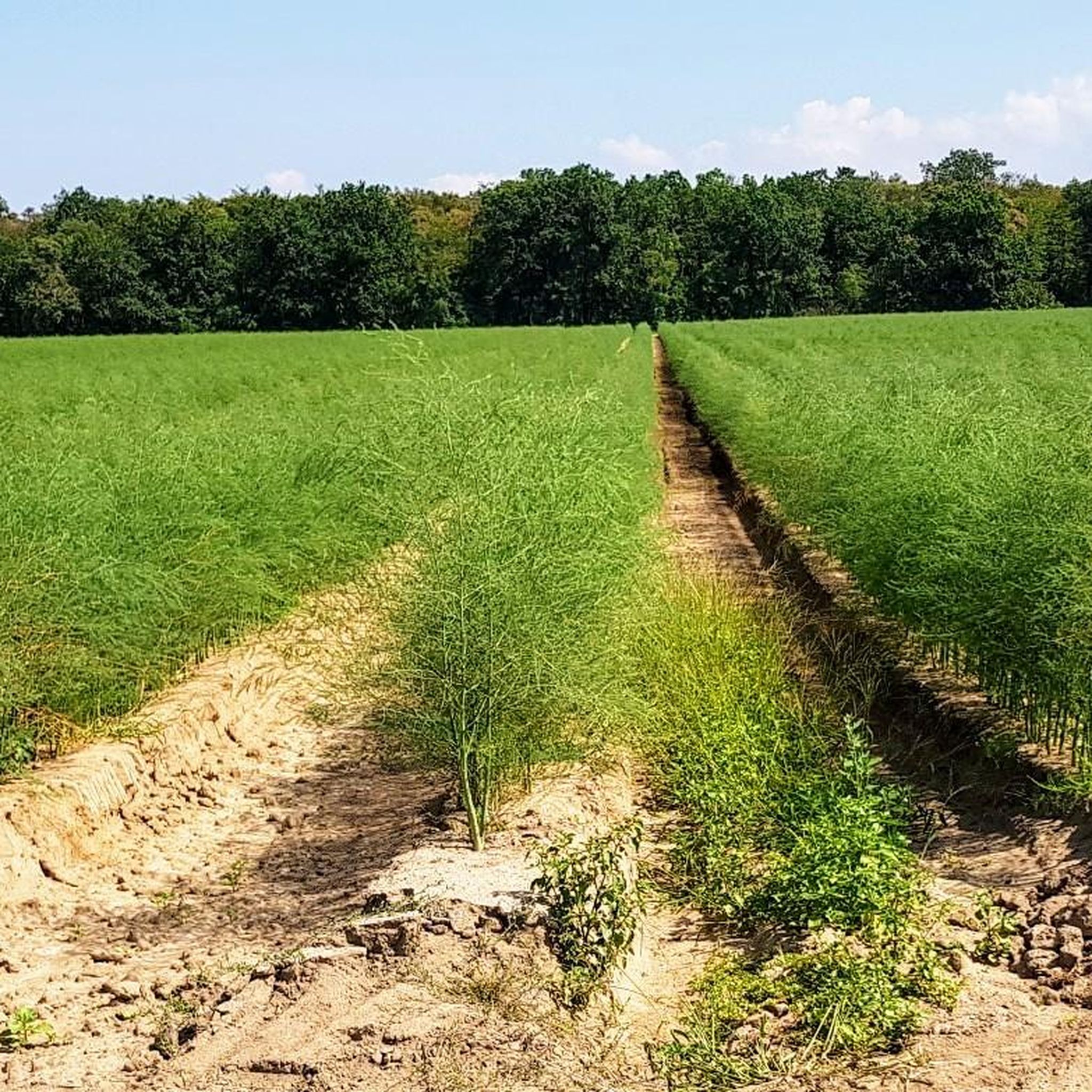
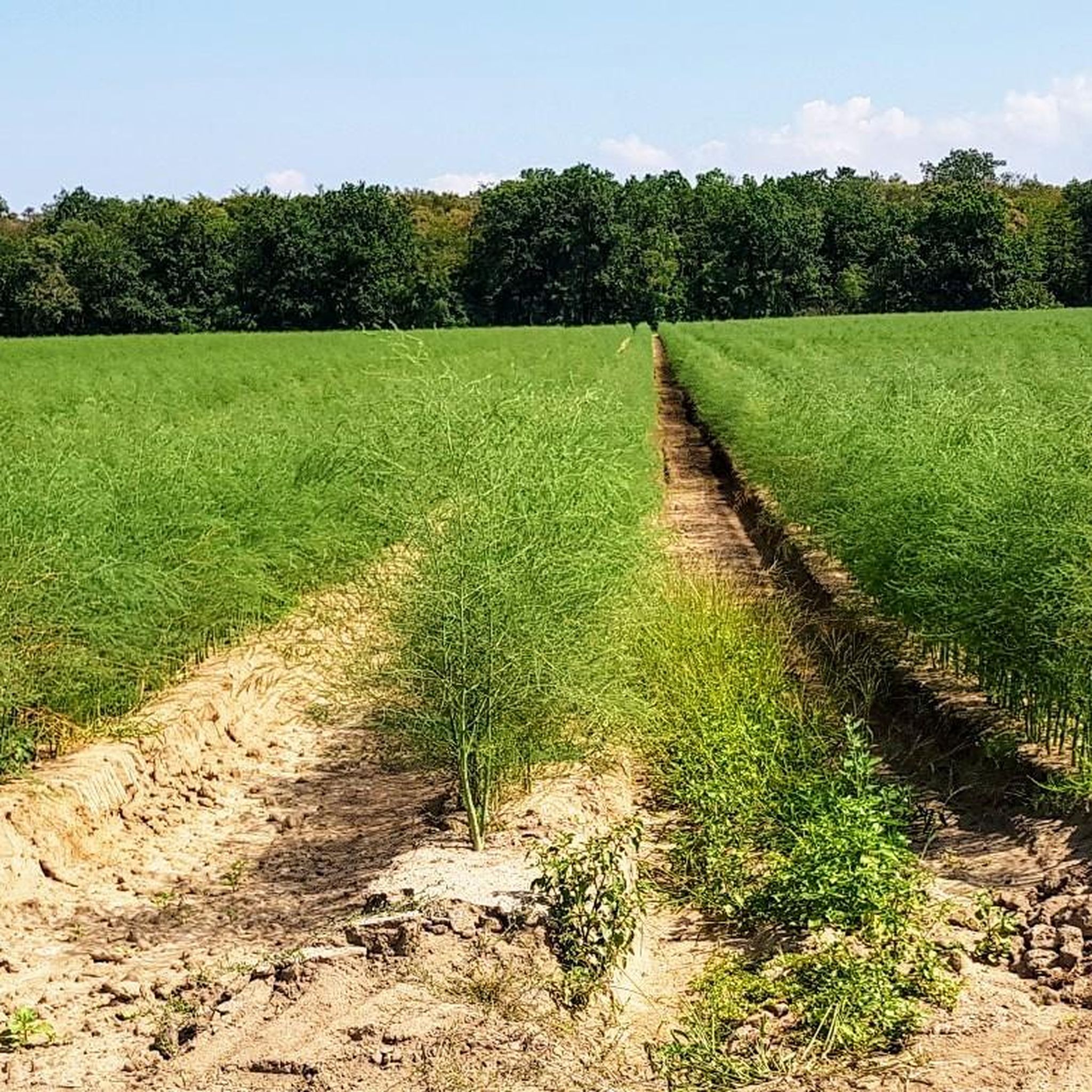
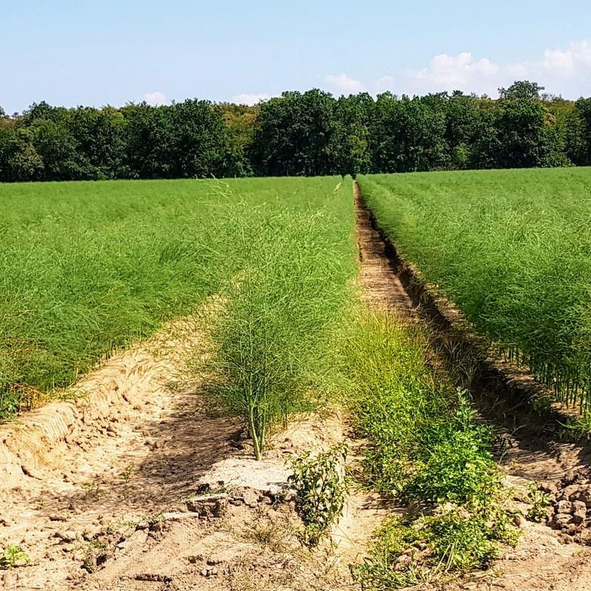
And this is where all the football pitches get their grass.
4
0
Frequently Asked Questions
How many running routes are available in Hockenheim?
Hockenheim offers a wide selection of running routes, with over 70 trails available for various fitness levels. These include easy, moderate, and some more challenging options.
What is the typical terrain like for running in Hockenheim?
The running terrain in Hockenheim is predominantly flat, featuring open turf fields, sections within the Hockenheimer Wald (forest), and paths around the famous Hockenheimring racetrack. Elevation changes are minimal, making it suitable for many runners.
Are there any easy running routes suitable for beginners in Hockenheim?
Yes, Hockenheim has several easy running routes perfect for beginners. The flat terrain throughout the region, especially paths in the Hockenheimer Wald, provides a gentle introduction to running. There are 9 routes specifically rated as easy.
Can I find circular running routes in Hockenheim?
Many of the running routes in Hockenheim are designed as loops. For example, the Hockenheimring – Hockenheimring Racetrack loop offers a unique circular experience around the iconic track, and the Jim Clark Memorial Hockenheim – Hockenheimer Wald Cycle Paths loop takes you through forested areas.
What are some interesting sights or landmarks I can see while running in Hockenheim?
While running in Hockenheim, you can experience diverse scenery. The Hockenheim Water Tower – Reilingen turf fields loop offers views of the Hockenheim Water Tower. For historical and cultural sights nearby, consider visiting the impressive Speyer Cathedral or the charming Schwetzingen Palace Square, though these are not directly on the running routes.
Are the running trails in Hockenheim suitable for families?
Yes, the generally flat and well-maintained paths in Hockenheim make many routes suitable for families. The minimal elevation changes mean that children or those pushing strollers can comfortably enjoy the trails, particularly in the Hockenheimer Wald.
Are dogs allowed on the running trails in Hockenheim?
Many of the running trails in Hockenheim, especially those through the Hockenheimer Wald and open fields, are dog-friendly. It's always recommended to keep dogs on a leash and be mindful of other trail users.
What do other runners say about the trails in Hockenheim?
The running routes in Hockenheim are highly rated by the komoot community, with an average score of 4.6 stars from over 80 reviews. Runners often praise the well-maintained paths, the unique experience of running around the Hockenheimring, and the peaceful atmosphere of the forest sections.
What is the average length of a running route in Hockenheim?
The running routes in Hockenheim vary in length. Popular options range from around 4.7 miles (7.6 km) for the Hockenheimring loop to longer trails like the Hardtbach Bridge at Grünhaus loop, which is about 7.8 miles (12.6 km).
Are there any running routes that go through forested areas?
Absolutely. The Hockenheimer Wald offers several excellent running routes through forested areas. A great example is the Hockenheimer Wald Cycle Paths loop, which provides a serene running experience amidst the trees.
When is the best time of year to go running in Hockenheim?
Hockenheim's running routes can be enjoyed year-round. Spring and autumn offer pleasant temperatures and beautiful scenery, while summer mornings and evenings are ideal to avoid the heat. Even in winter, the flat, well-maintained paths are generally accessible, though conditions may vary.
Most popular routes around Hockenheim
Most popular attractions around Hockenheim

Get inspired with the komoot mobile app


Explore more
Browse the best Running Trails & Routes in other regions.
