The best running trails around Bischweier
4.4
(61)
222
runners
16
runs
Jogging routes around Bischweier offer a diverse landscape where the Murg Valley transitions into the Upper Rhine Valley, situated at the edge of the Northern Black Forest. The region features picturesque nature with orchards, river landscapes, and low mountain terrain, providing varied backdrops for running. These natural surroundings contribute to a range of running experiences, from gentle paths along the river to more challenging routes with elevation changes. The area's well-established network of paths is suitable for various outdoor activities,…
Last updated: October 8, 2026
2.8
(46)
40
runners
Easy run. Great for any fitness level. Mostly paved surfaces. Suitable for all skill levels.
4.9
(8)
30
runners
Moderate run. Good fitness required. Mostly paved surfaces. Suitable for all skill levels.

23
runners
Moderate run. Good fitness required. Mostly paved surfaces. Suitable for all skill levels.
16
runners
Hard run. Very good fitness required. Mostly paved surfaces. Suitable for all skill levels.
5.0
(2)
10
runners
Moderate run. Good fitness required. Mostly paved surfaces. Suitable for all skill levels.
Get access to more routes and recommendations from other explorers.
Already have an account?
Our route recommendations are based on thousands of hikes, rides, and runs completed by other people on komoot.
Start today with a free account
Your next adventure awaits.
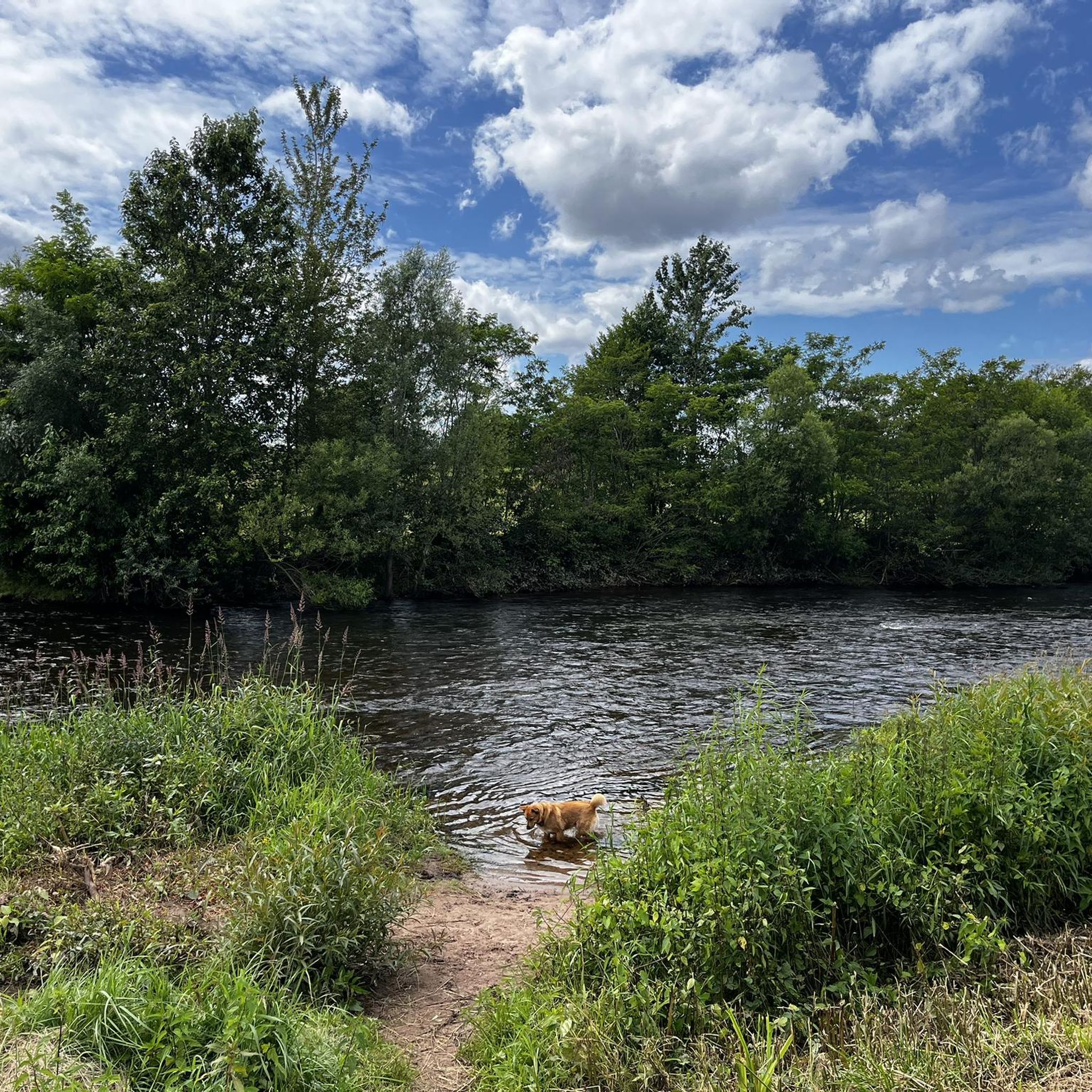
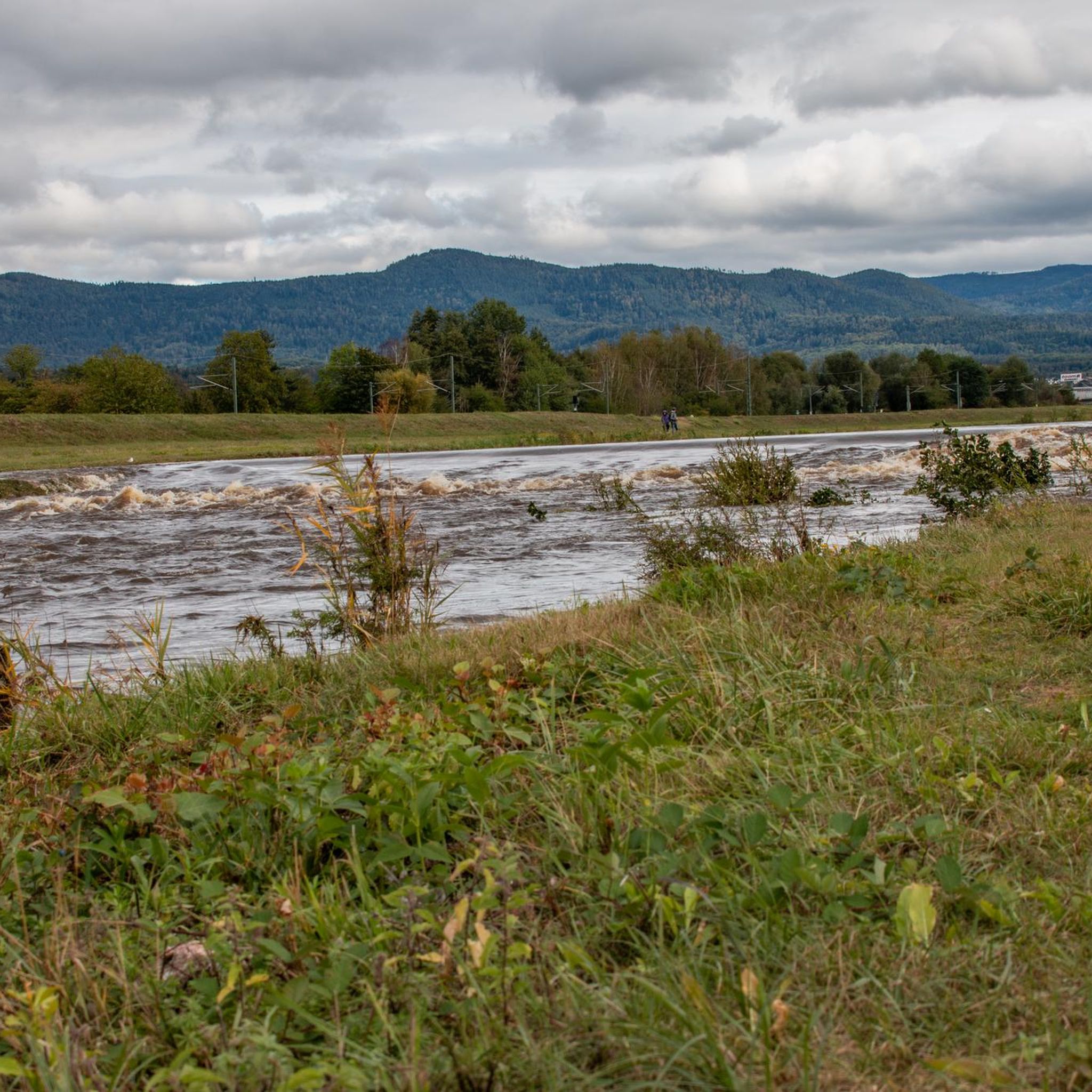
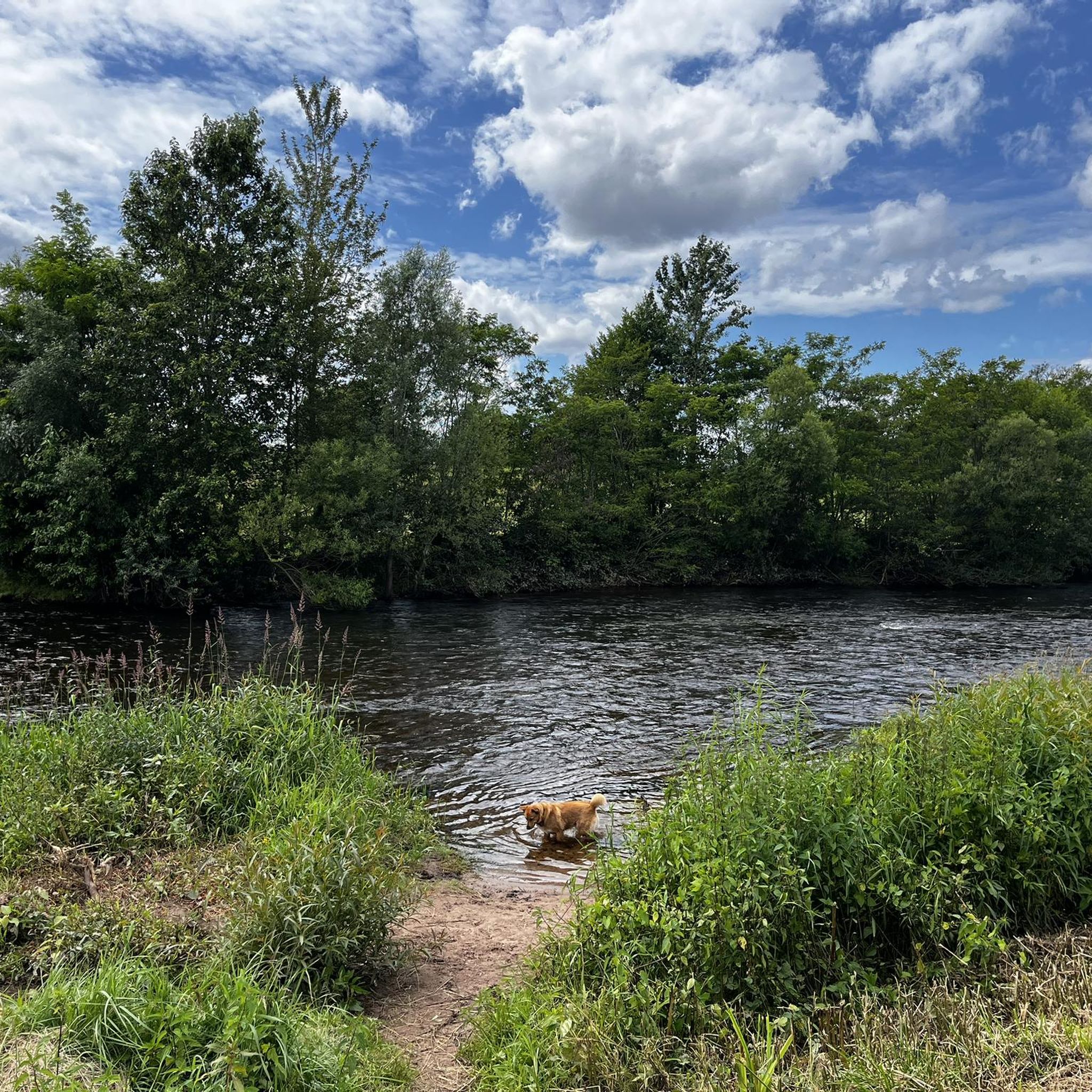
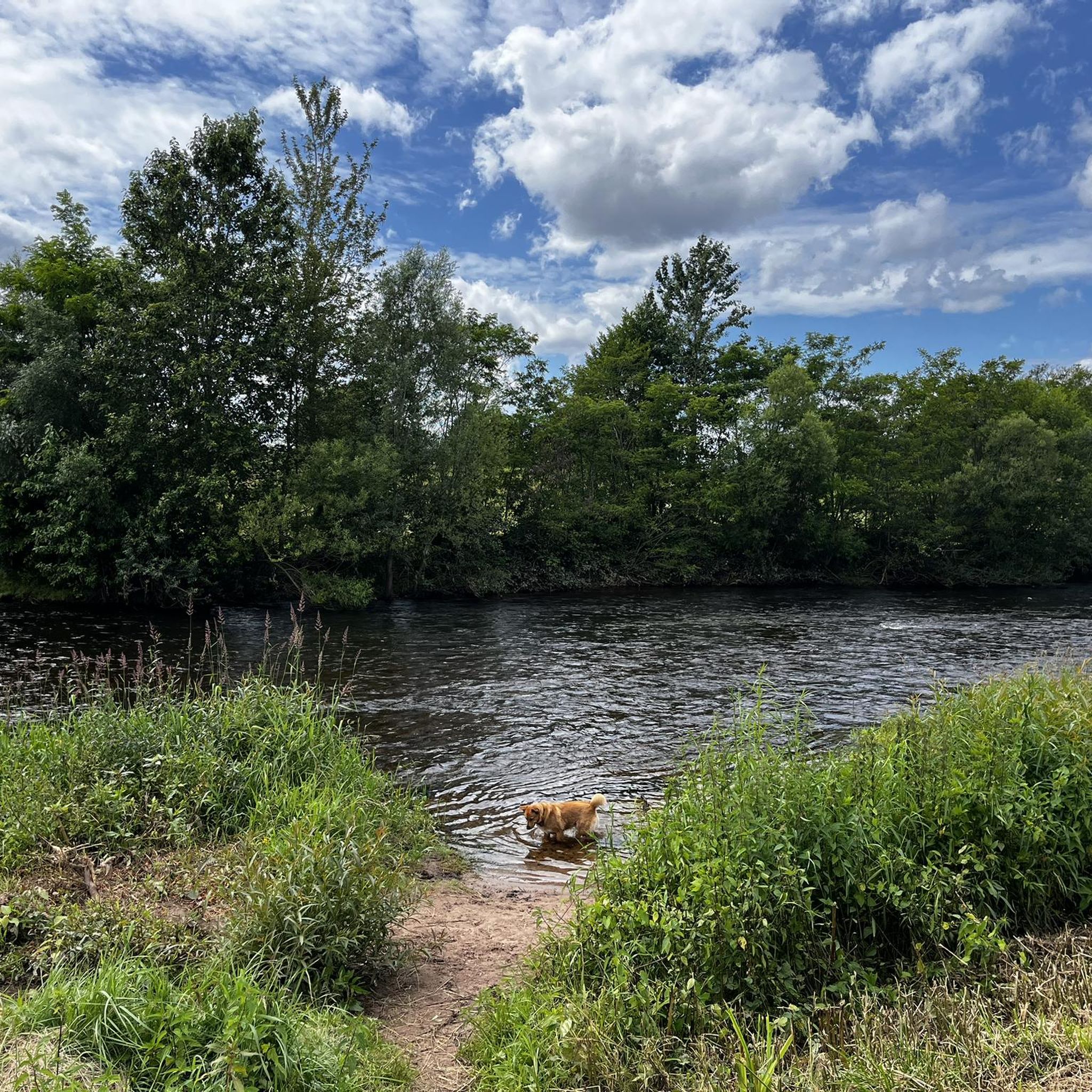

Tips from the Community

Almost drove past it, short stop, very beautiful
0
0

Picturesque path through meadows and fields between the small animal breeding facility and the Winklerhof, where bridal couples plant their own cherry tree as a symbol of their bond. Planting can actually be requested from the municipality 😉
7
0
In the 19th century, the neighboring chapel became too small for the Catholic community and St. Anna's Church was built in the then-common Neo-Gothic style.
7
0
The pretty chapel was built in the 13th century and is one of the oldest churches in the Murg valley and, with its octagonal half-timbered tower, a landmark of Bischweier. In the 19th century, it became too small for the growing Catholic community and was first used by the municipality and then from 1975 to 2024 by the Protestant community. The future use has not yet been decided.
7
0
Opulent baroque crossroads with a small, well-maintained flowerbed.
7
1
Small, beautiful and quiet park with recreational and leisure facilities and a little gastronomy.
3
0

The wooden ceiling inside is particularly worth seeing. Since the chapel of the same name is closed, it's better to look around here instead.
2
1

The farms around Gaggenau offer fresh, regional products and an insight into agriculture. Historic draw wells are reminders of the time when water was laboriously drawn with buckets – small cultural monuments that bring history to life.
2
0
Frequently Asked Questions
What kind of terrain can I expect on the running routes around Bischweier?
The running routes around Bischweier offer a diverse landscape, transitioning from the Murg Valley into the Upper Rhine Valley, at the edge of the Northern Black Forest. You'll find picturesque nature with orchards, charming river landscapes, and low mountain terrain. This provides a variety of running experiences, from gentler paths along the river to more challenging routes with elevation changes.
Are there running routes suitable for beginners or those looking for an easier run?
While the guide primarily lists moderate to difficult routes, the diverse landscape of Bischweier means you can find paths suitable for various fitness levels. For a moderate option, consider the Bad Rotenfels Spa Park – View of the River Murg loop from Bischweier (Baden), which is 8.9 miles (14.3 km) long with minimal elevation gain, offering scenic views.
What are some of the longer running trails available in Bischweier?
For those seeking a longer run, the St. Sebastian's Chapel – View of the River Murg loop from Bischweier (Baden) is a challenging 17.4 km (10.8 miles) route. Another substantial option is the Bad Rotenfels Spa Park – View of the River Murg loop from Bischweier (Baden), which covers 14.3 km (8.9 miles).
Are there any circular running routes in the Bischweier area?
Yes, many of the running routes around Bischweier are designed as loops, offering convenient circular paths. Examples include the popular Rotenfels Castle – Bad Rotenfels Spa Park loop from Bischweier (Baden) and the Willy Wild Platz loop from Bischweier.
What kind of landmarks or natural features can I see while running in Bischweier?
The region offers a mix of natural beauty and historical sites. You can enjoy views of the Murg River, picturesque orchards, and the diverse landscapes of the Northern Black Forest. Nearby attractions include the impressive ruins of Old Hohenbaden Castle and various viewpoints like the Upper Felsenweg at Battert Rocks or the Merkur Tower. The broader region also features natural monuments like the Wolf Gorge.
What do other runners say about the trails in Bischweier?
The running routes in Bischweier are highly regarded by the komoot community, holding an impressive average rating of 4.7 out of 5 stars from over 10 reviews. More than 170 runners have explored the varied terrain, often praising the scenic views and well-established paths.
Are there any family-friendly running routes in Bischweier?
While specific 'family-friendly' designations aren't provided for all routes, the area's diverse paths and moderate options can be suitable for families. Routes that feature less elevation and pass through orchards or along the river, such as the Willy Wild Platz loop from Bischweier, might be good choices for a family outing.
Is public transport available to access the running routes around Bischweier?
Bischweier is situated in a region with established infrastructure. While specific public transport connections to every trailhead are not detailed, the general accessibility of the area suggests that local buses or regional trains could provide access to the vicinity of many routes. It's advisable to check local public transport schedules for specific connections to your chosen starting point.
Are there any cafes or pubs near the running routes in Bischweier?
Bischweier, being a town nestled in a popular outdoor region, offers local amenities. While specific cafes or pubs directly on every route are not listed, you can expect to find options in the town center or nearby villages to refuel after your run. The proximity to Bad Rotenfels Spa Park also suggests amenities in that area.
What is the best time of year for running in Bischweier?
The Northern Black Forest region, where Bischweier is located, offers beautiful scenery throughout the year. Spring and autumn provide pleasant temperatures and vibrant natural colors, ideal for running. Summer is also great, especially in the mornings or evenings, while winter runs can be picturesque, though you should be prepared for colder conditions and potential snow or ice on trails.
How many running routes are available in the Bischweier area?
There are over 18 dedicated running routes around Bischweier, offering a wide selection for different preferences and fitness levels. These include 11 moderate and 7 more challenging options.
Are there any specific rules or considerations for running with dogs on the trails?
While many outdoor areas in Germany are dog-friendly, it's always recommended to keep dogs on a leash, especially in nature reserves, agricultural areas, or near wildlife. Please ensure you clean up after your pet. Specific rules for each trail are not provided, so general etiquette applies.
Most popular routes around Bischweier
Most popular attractions around Bischweier

Get inspired with the komoot mobile app


Explore more
Browse the best Running Trails & Routes in other regions.
