The best walks and hikes around Horton-Cum-Studley
4.4
(511)
4,542
hikers
322
hikes
Hiking around Horton-Cum-Studley explores a rural landscape on the border of Oxfordshire and Buckinghamshire. The region is characterized by the expansive Otmoor wetland, ancient woodlands like Bernwood Forest, and open meadows crossed by brooks. Most routes are generally flat, following a network of public footpaths, grassy tracks, and quiet country lanes.
Best hiking trails around Horton-Cum-Studley
- The most popular hiking route is Otmoor RSPB Reserve loop, a 6.5 mile (10.5 km) trail that takes around 2 hours 40 minutes…
Last updated: May 25, 2026
4.5
(4)
9
hikers
10.5km
02:39
10m
10m
Moderate hike. Good fitness required. Easily-accessible paths. Suitable for all skill levels.
4.5
(2)
17
hikers
Easy hike. Great for any fitness level. Easily-accessible paths. Suitable for all skill levels.

Sign up for free
5.0
(1)
36
hikers
3.65km
00:55
0m
0m
Easy hike. Great for any fitness level. Easily-accessible paths. Suitable for all skill levels.
4.3
(3)
63
hikers
Easy hike. Great for any fitness level. Easily-accessible paths. Suitable for all skill levels.
4.0
(1)
10
hikers
Easy hike. Great for any fitness level. Easily-accessible paths. Suitable for all skill levels.
Get access to more routes and recommendations from other explorers.
Sign up for free
Already have an account?
Our route recommendations are based on thousands of hikes, rides, and runs completed by other people on komoot.
Start today with a free account
Your next adventure awaits.
Login or Signup

Tips from the Community

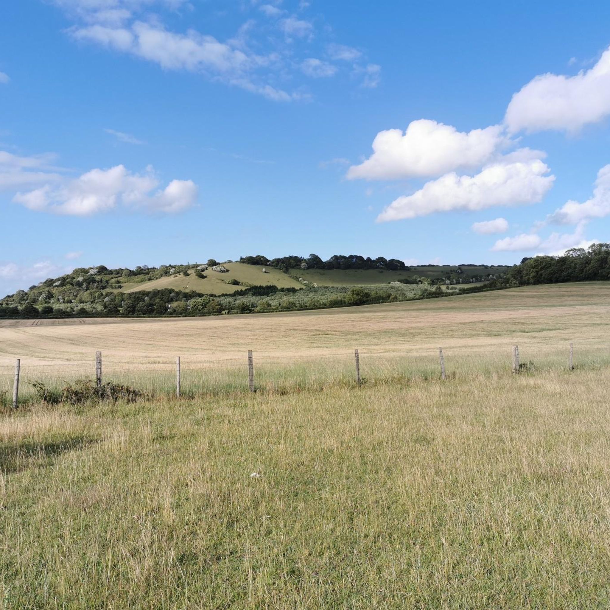
The wood contains about forty species of butterflies making it one of the most important habitats in Britain.
4
0
A most beautiful meadow full of wildflowers, butterflies and wild orchids
1
0

It is a fantastic hide with views over the fields & ponds. DOGs are NOT allowed. This also means that you cannot use the direct footpath towards Beckley if you have a DOG. Instead you have to take the path via the RSPB car park, which adds 2k to the walk if you go back to the footpath, rather than follow the road up to the Abingdon Arms at Beckley
1
0

This section of the route is also used as a shooting range. Red flags or lights will indicate if the range is in use and therefore not accessible to the public. To best plan your route in advance, you can check the areas firing times by phoning the South East Operations room on 01420 483405 or visiting this link https://www.gov.uk/government/publications/south-east-training-estate-firing-times/otmoor-range-firing-times-december-2022#firing-times.
3
0
Sit back and enjoy the natural spectacle of these beautiful birds on this second viewing platform located slightly deeper into the reserve. Don't forget to bring your binoculars!
2
0
Otmoor RSPB Reserve is a haven for beautiful birdlife. This viewing platform perched on the edge of the waterfront allows you to get up close and personal with some of the reserve's finest creatures.
2
0
The Wetlands Watch lookout and viewing screens are especially great to visit in the autumn and winter months when large numbers of wildfowl and waders are spotted on the floodplains.
2
0
Every winter you can observe the magic of the murmurations of wings from thousands of starlings performing a stunning sunset ballet. These aerial acrobatics are endlessly fascinating. In the case of swarming starlings, the results from carefully filming and mapping each starling in a flock show that murmurations are a scale-free phenomenon, poised at the edge of criticality. This means that the starling flock is both different from and more than the sum of its parts. It also means that information ripples very fast through the flock allowing it to act as a superorganism, scaring away potential predators before the starlings can return safely to their nightly shelter.
3
0
Frequently Asked Questions
Are the hiking trails around Horton-Cum-Studley suitable for dogs?
Yes, the area is generally very dog-friendly, with many public footpaths crossing fields and woodlands. A popular choice is Beathwood Butterfly Trail – Bernwood Meadow Wildflowers loop from Honeyburge, which explores parts of Bernwood Forest. Always be mindful of livestock in fields and keep dogs on a lead, especially within the Otmoor RSPB reserve to protect wildlife.
Are there any easy, family-friendly hikes in the area?
Definitely. The region's flat terrain makes it great for families. Many of the shorter trails are perfect for little legs. For a varied walk that isn't too long, consider the Wetlands Watch Hide – RSPB Otmoor Reserve loop from Beckley, which offers a good chance to see birds and experience the open wetlands.
Where can I find good views while hiking near Horton-Cum-Studley?
The village itself sits on higher ground, offering scenic views towards the Chiltern Hills and Shotover Hill from various footpaths. Many routes that traverse the edge of the Otmoor basin provide a sense of vast, open scenery. For a classic countryside experience, walks heading towards the neighbouring village of Beckley often reward you with lovely vistas over the rural landscape.
What is the terrain like on the trails?
Most hikes around Horton-Cum-Studley are on relatively flat ground. You'll encounter a mix of surfaces, including grassy public footpaths, gravel tracks, and quiet country lanes. Some paths, particularly across fields and near the Otmoor wetlands, can become muddy and boggy, especially after rainfall, so waterproof footwear is recommended.
How many hiking trails are available around Horton-Cum-Studley?
There are over 300 hiking routes to explore in the region. These range from short, easy loops perfect for a quick stroll to more moderate, longer-distance paths that take you through the wider landscape of woodlands and wetlands.
What do other hikers think of the routes in this area?
The trails around Horton-Cum-Studley are highly regarded by the komoot community. Hikers often praise the peacefulness of the countryside, the excellent opportunities for birdwatching around Otmoor, and the well-preserved ancient woodlands. The mix of open wetlands and shaded forest paths is a frequently mentioned highlight.
Are there any walks that go through Bernwood Forest?
Yes, Bernwood Forest is a popular destination for hikers. It's a historic woodland known for its butterfly populations and well-maintained trails. Several routes loop through different parts of the forest, offering a peaceful walk under the tree canopy. It's a great spot for both short and long walks.
What kind of wildlife might I see while hiking?
The area is rich in wildlife. The Otmoor RSPB reserve is a key location for birdwatching, where you can spot various wetland species. In the surrounding woodlands and meadows, such as Asham Meads and Bernwood Forest, you might see roe deer. The area is also noted for its rare butterfly species in the summer, including the Black Hairstreak and Purple Emperor.
Is it possible to get to the trails using public transport?
Horton-Cum-Studley is a rural village, so public transport options are limited. Bus services connect to nearby towns and Oxford, but they may not be frequent. Many hikers find it most convenient to drive to a trailhead. The city of Oxford, which is better served by public transport, is only about six miles away, and you can start hikes from its outskirts.
Where is the best place to park for a hike?
Parking is typically available in small lay-bys or designated spots near trailheads, such as those for Bernwood Forest or the Otmoor RSPB reserve. For walks starting in the village itself, on-street parking is possible but please park considerately. Always check for any local parking restrictions before you set off.
Are there any pub walks in the Horton-Cum-Studley area?
Yes, the classic countryside pub walk is a great option here. You can plan a circular route that starts and ends in one of the local villages, such as Horton-Cum-Studley or nearby Beckley, allowing you to finish your hike with a refreshing drink or meal at a traditional pub.
Most popular attractions around Horton-Cum-Studley

Get inspired with the komoot mobile app


Explore more
Browse the best Hikes in other regions.
