The best running trails around Straubenhardt
4.4
(144)
782
runners
84
runs
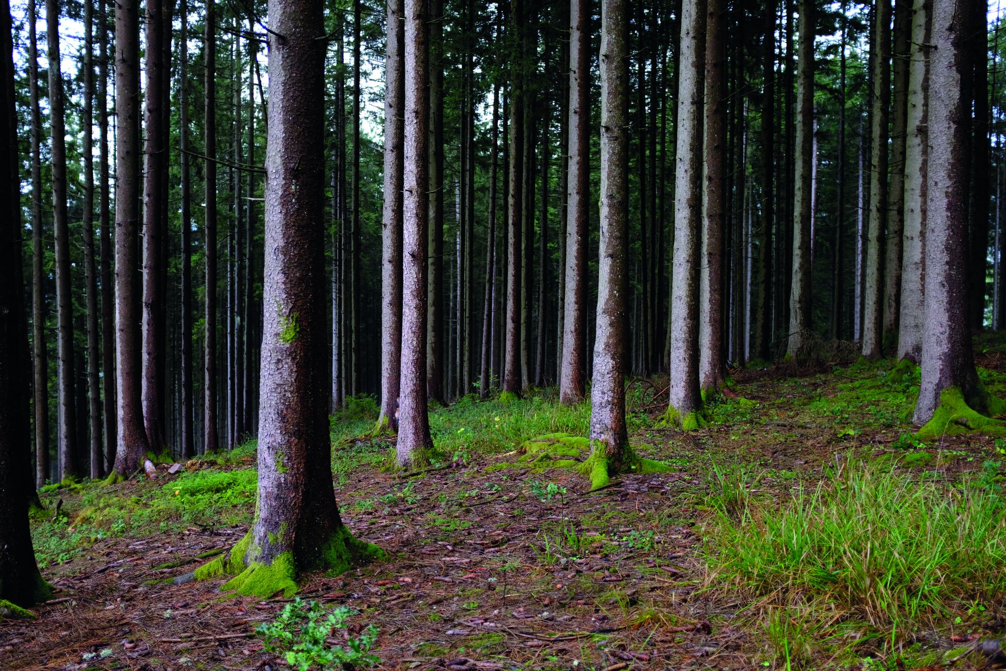
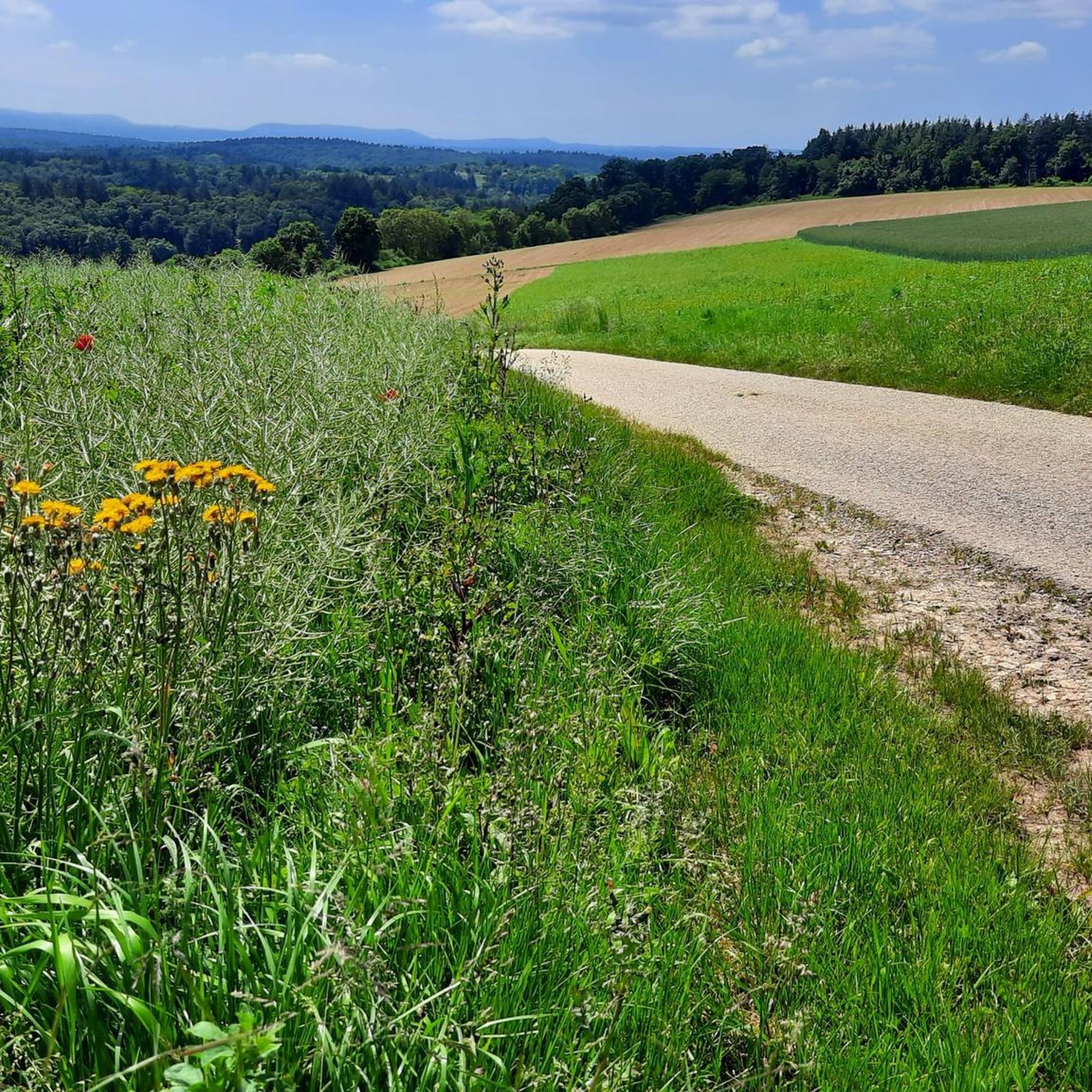
Jogging routes around Straubenhardt are set within the Northern Black Forest, offering a diverse landscape for runners. The region is characterized by a plateau situated between the Alb and Enz valleys, featuring green hills and dense forests. This varied topography provides a mix of gentle slopes and more challenging ascents, with babbling streams and panoramic vistas enhancing the running experience.
Best jogging routes around Straubenhardt
- The most popular jogging route is Panorama Trail Schwann-Conweiler – View of Conweiler loop from…
Last updated: October 11, 2026
5.0
(1)
62
runners
Moderate run. Good fitness required. Mostly paved surfaces. Suitable for all skill levels.
5.0
(1)
45
runners
Moderate run. Good fitness required. Mostly paved surfaces. Suitable for all skill levels.

5.0
(2)
29
runners
6.72km
00:42
70m
70m
Moderate run. Good fitness required. Mostly paved surfaces. Suitable for all skill levels.
23
runners
Moderate run. Good fitness required. Mostly paved surfaces. Suitable for all skill levels.
11
runners
10.9km
01:11
160m
160m
Moderate run. Good fitness required. Mostly paved surfaces. Suitable for all skill levels.
Get access to more routes and recommendations from other explorers.
Already have an account?
Our route recommendations are based on thousands of hikes, rides, and runs completed by other people on komoot.
Start today with a free account
Your next adventure awaits.
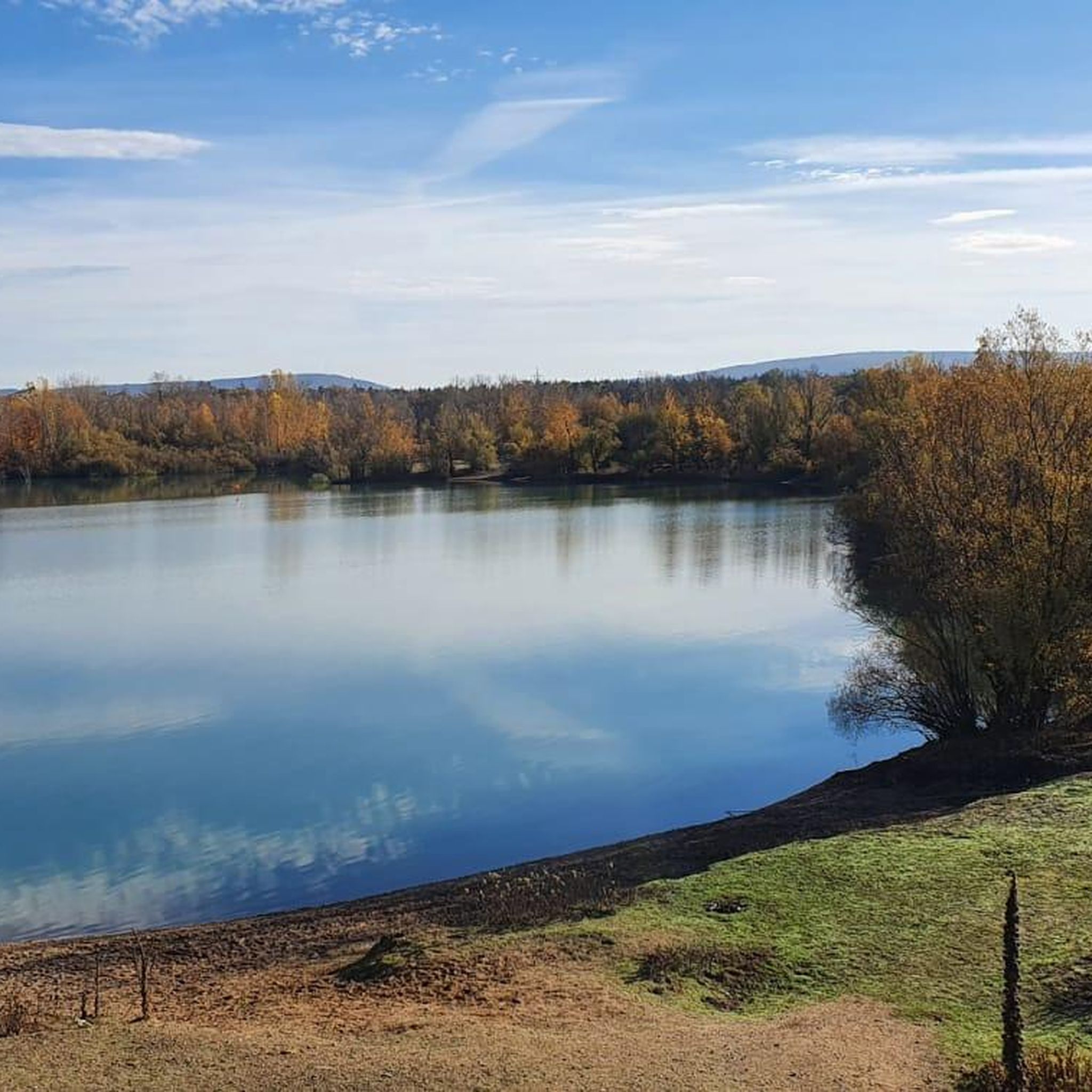
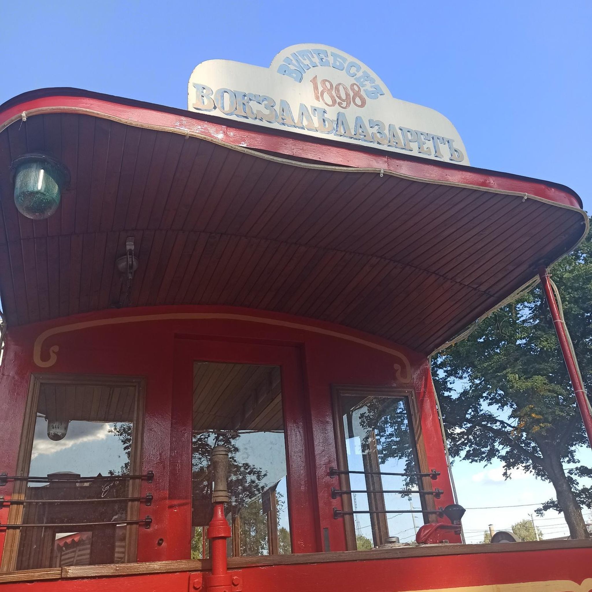

Other adventures around Straubenhardt

Tips from the Community


Glider airfield with fantastic views. On weekends, you can watch the flight operations from the walking path.
2
0
Beautiful path above the glider airfield. The name says it all. In clear weather, fantastic panoramic views over Karlsruhe to the Palatinate mountains, over the Kraichgau to the Stromberg and to the Stuttgart TV tower. Definitely include it on a tour in the area.
4
0

Wonderful view into the distance
0
0

Nice resting place when the sun is shining, a little too exposed in bad weather, in German: It's raining horizontally :-)
1
0

always beautiful views at the Schwanner wait
1
0


This shady spot is an absolute hotspot. Located directly on the Westweg, a fountain and bench invite you to take a break with a panoramic view. When the snack bar is open and the weather is nice, there's a lively atmosphere around the linden tree: walkers, hikers, and cyclists as far as the eye can see.
3
0
Frequently Asked Questions
How many running routes are available in Straubenhardt?
Straubenhardt offers a wide selection of running routes, with over 80 trails documented on komoot. These include 13 easy routes, 68 moderate routes, and 8 difficult routes, catering to various fitness levels and preferences.
What kind of terrain can I expect on the jogging trails in Straubenhardt?
The jogging trails in Straubenhardt are characterized by a diverse topography, including green hills, dense forests, and sections on a plateau between the Alb and Enz valleys. You'll find a mix of gentle slopes and more challenging ascents, with some trails featuring mostly paved surfaces, like the Straubenhardt Sports and Forest Climate Trail, while others offer natural forest paths.
Are there any easy running routes suitable for beginners or a relaxed jog?
Yes, Straubenhardt has 13 easy running routes. Many trails, including sections of the Straubenhardt Sports and Forest Climate Trail, are known for being suitable for all fitness levels and often feature mostly paved surfaces for an easier run.
Are there any scenic viewpoints or landmarks along the running paths in Straubenhardt?
Absolutely! Straubenhardt's routes offer numerous scenic views. The region is known for panoramic vistas from various peaks. For example, the Schweizerkopf Hut Viewpoint and the Bernsteinfels summit and viewpoint offer rewarding sights. The Panorama Trail Schwann-Conweiler – View of Conweiler loop from Straubenhardt is specifically highlighted for its scenic views over the surrounding landscape.
Can I find circular running routes in Straubenhardt?
Yes, many of the running routes in Straubenhardt are designed as loops, allowing you to start and finish at the same point. Examples include the Panorama Trail Schwann-Conweiler – View of Conweiler loop from Straubenhardt and the Kantebuahaus Village Museum – Mistwiesen Loop loop from Albtal und Seitentäler.
What do other runners say about the trails in Straubenhardt?
The running routes in Straubenhardt are highly rated by the komoot community, with an average score of 4.5 stars from over 90 reviews. Runners often praise the diverse landscape, the well-maintained paths, and the beautiful panoramic views that enhance the jogging experience.
Are there any longer running trails for more experienced runners?
Yes, for more experienced runners looking for longer distances, Straubenhardt provides access to sections of long-distance hiking trails within the Northern Black Forest Nature Park, such as the Westweg and Mittelweg. These offer varied terrain and more challenging ascents and descents. The Kantebuahaus Village Museum – Mistwiesen Loop loop from Albtal und Seitentäler is a moderate 6.2 miles (10.0 km) trail that takes about 1 hour 2 minutes to complete.
Are there any places to stop for refreshments or rest along the routes?
While specific cafes directly on every route aren't detailed, the region has several huts and mountain inns that can serve as good resting points. The Teufelsmühle Mountain Inn and Hahnenfalz hut are examples of such places in the wider area around Straubenhardt.
What is the best time of year to go jogging in Straubenhardt?
Straubenhardt's natural beauty, with its green hills and dense forests, makes it appealing for jogging throughout much of the year. Spring and autumn offer pleasant temperatures and vibrant scenery. Summer provides lush green landscapes, while winter can transform the trails into a serene, snow-covered environment, though some paths might require more suitable footwear.
Are there any running routes that pass by unique natural features?
Yes, the region is known for its pure nature, complete with babbling streams and diverse forest landscapes. The Highland Cattle Pasture loop from Pfinzquellen offers a unique experience passing by pastures. Additionally, the Teufelskammern Sandstone Caves are a notable natural attraction in the vicinity.
How long are the typical jogging trails in Straubenhardt?
The jogging trails in Straubenhardt vary in length. Many popular routes are between 4 to 6 miles (6 to 10 km). For instance, the Panorama Trail Schwann-Conweiler – View of Conweiler loop from Straubenhardt is 4.1 miles (6.6 km), and the Kantebuahaus Village Museum – Mistwiesen Loop loop from Albtal und Seitentäler is 6.2 miles (10.0 km).
Are the running routes in Straubenhardt suitable for families?
Many of the easy and moderate routes in Straubenhardt are suitable for families, especially those with older children. The Straubenhardt Sports and Forest Climate Trail, with its mostly paved surfaces, is particularly recommended for its accessibility for all fitness levels, making it a good option for a family outing.
Most popular routes around Straubenhardt
Most popular attractions around Straubenhardt

Get inspired with the komoot mobile app


Explore more
Browse the best Running Trails & Routes in other regions.
