The best running trails in the Enzkreis
4.4
(935)
10,729
runners
1,127
runs
Jogging routes in the Enzkreis traverse a diverse landscape, encompassing the agricultural Kraichgau, the forested Stromberg, the hedgerow-rich Heckengäu, and the northern reaches of the Black Forest. The region is characterized by varied topography, including gentle hills, dense woodlands, and open meadows. Several river valleys, such as those of the Enz, Nagold, Würm, and Pfinz, offer flatter paths alongside waterways. This combination provides a range of running experiences, from riverside jogs to more challenging trails with elevation changes.
Best jogging…
Last updated: May 18, 2026
5.0
(1)
12
runners
8.72km
00:57
150m
150m
Moderate run. Good fitness required. Mostly paved surfaces. Suitable for all skill levels.
5
runners
10.9km
01:11
160m
160m
Moderate run. Good fitness required. Mostly paved surfaces. Suitable for all skill levels.

Sign up for free
5.0
(1)
3
runners
15.2km
01:40
300m
300m
Hard run. Very good fitness required. Mostly paved surfaces. Suitable for all skill levels.
5.0
(9)
203
runners
Moderate run. Good fitness required. Mostly paved surfaces. Suitable for all skill levels.
5.0
(18)
166
runners
Hard run. Very good fitness required. Mostly paved surfaces. Suitable for all skill levels.
4.4
(5)
112
runners
Moderate run. Good fitness required. Mostly accessible paths. Some sure footedness required.
4.3
(29)
103
runners
5.40km
00:34
30m
30m
Moderate run. Good fitness required. Mostly paved surfaces. Suitable for all skill levels.
4.4
(5)
93
runners
Hard run. Good fitness required. Sure-footedness, sturdy shoes and alpine experience required.
4.5
(30)
94
runners
5.46km
00:34
40m
40m
Moderate run. Good fitness required. Mostly paved surfaces. Suitable for all skill levels.
4.7
(6)
74
runners
Moderate run. Good fitness required. Mostly paved surfaces. Suitable for all skill levels.
Get access to more routes and recommendations from other explorers.
Sign up for free
Already have an account?
Our route recommendations are based on thousands of hikes, rides, and runs completed by other people on komoot.
Start today with a free account
Your next adventure awaits.
Login or Signup
Popular around Enzkreis
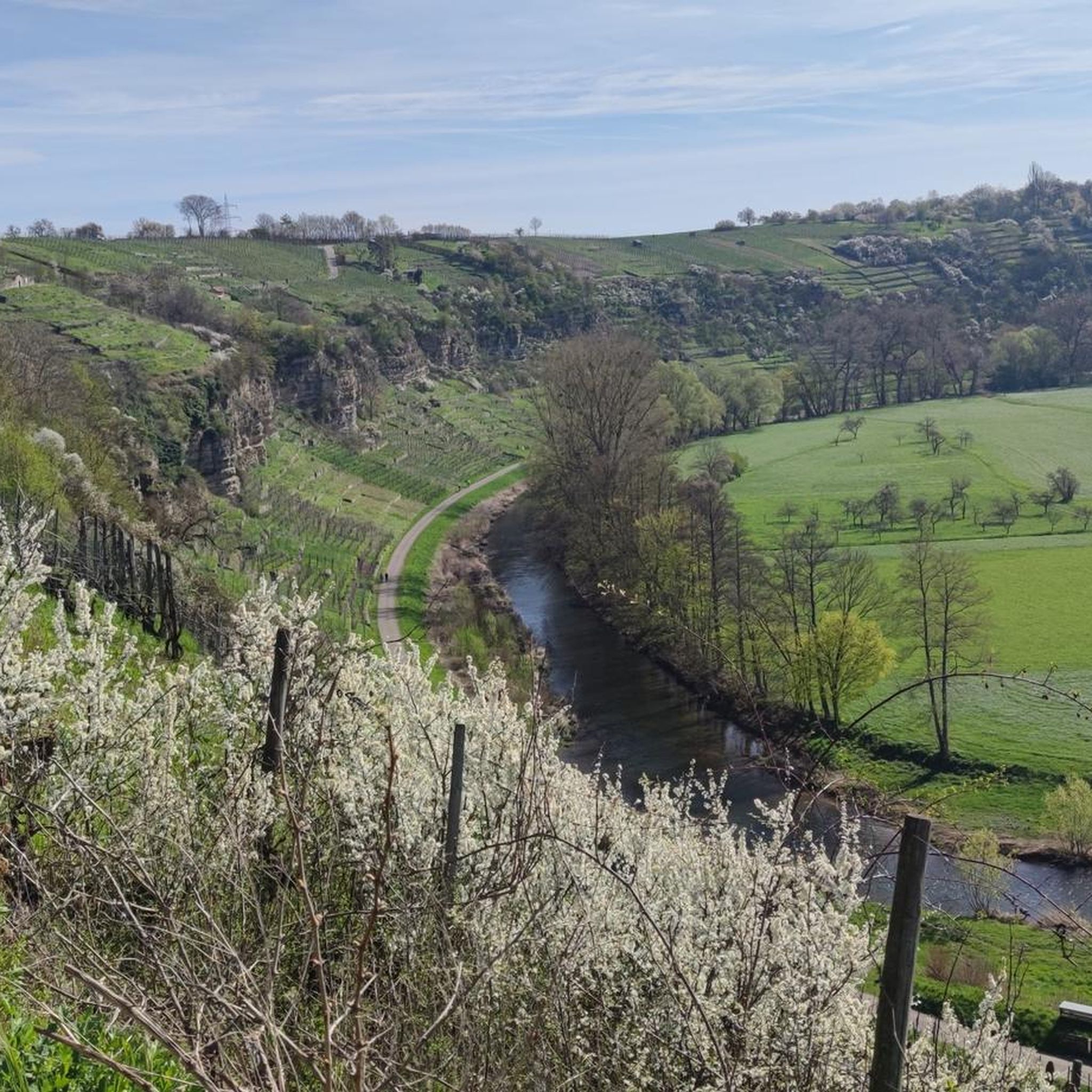
Running Trails around Mühlacker
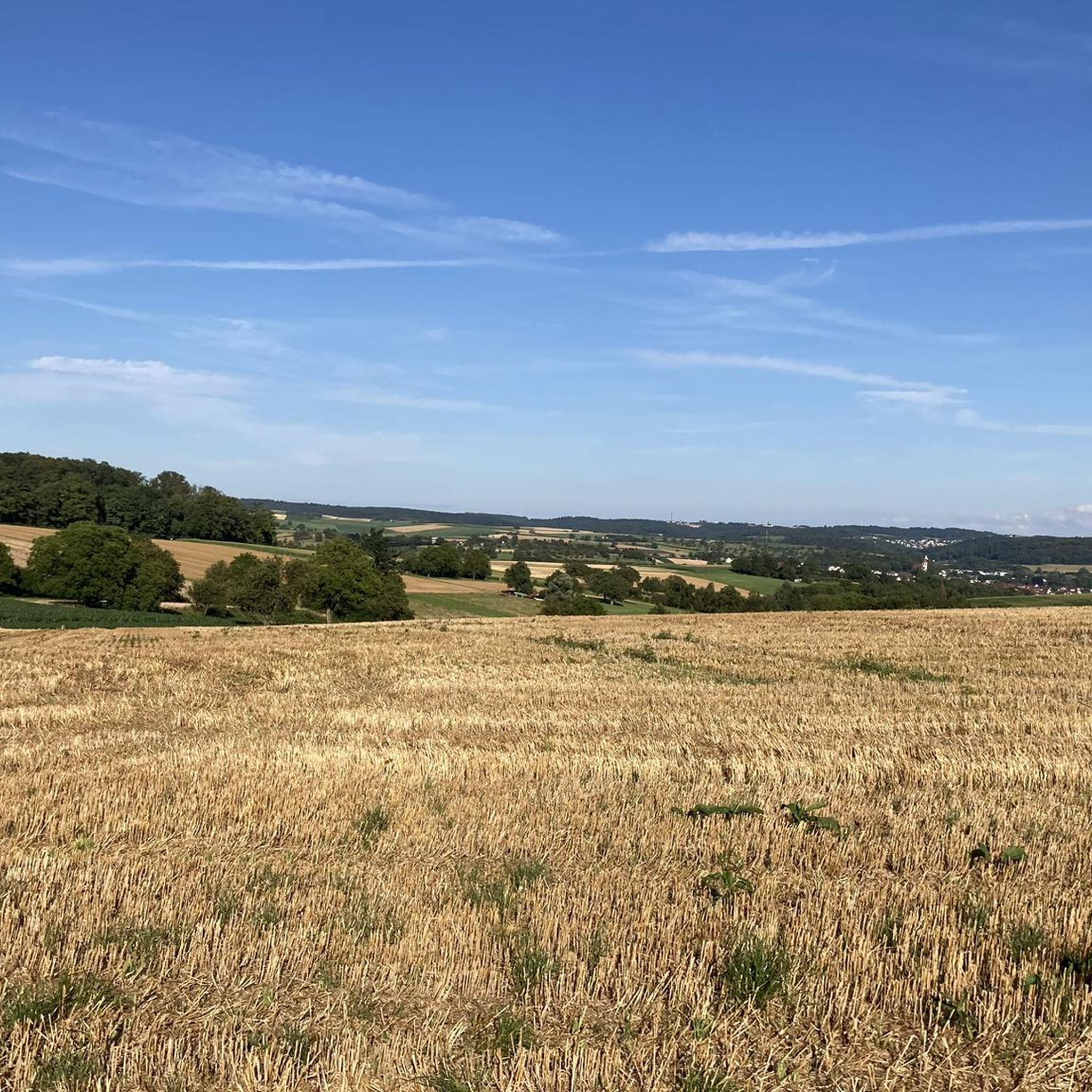
Running Trails around Remchingen
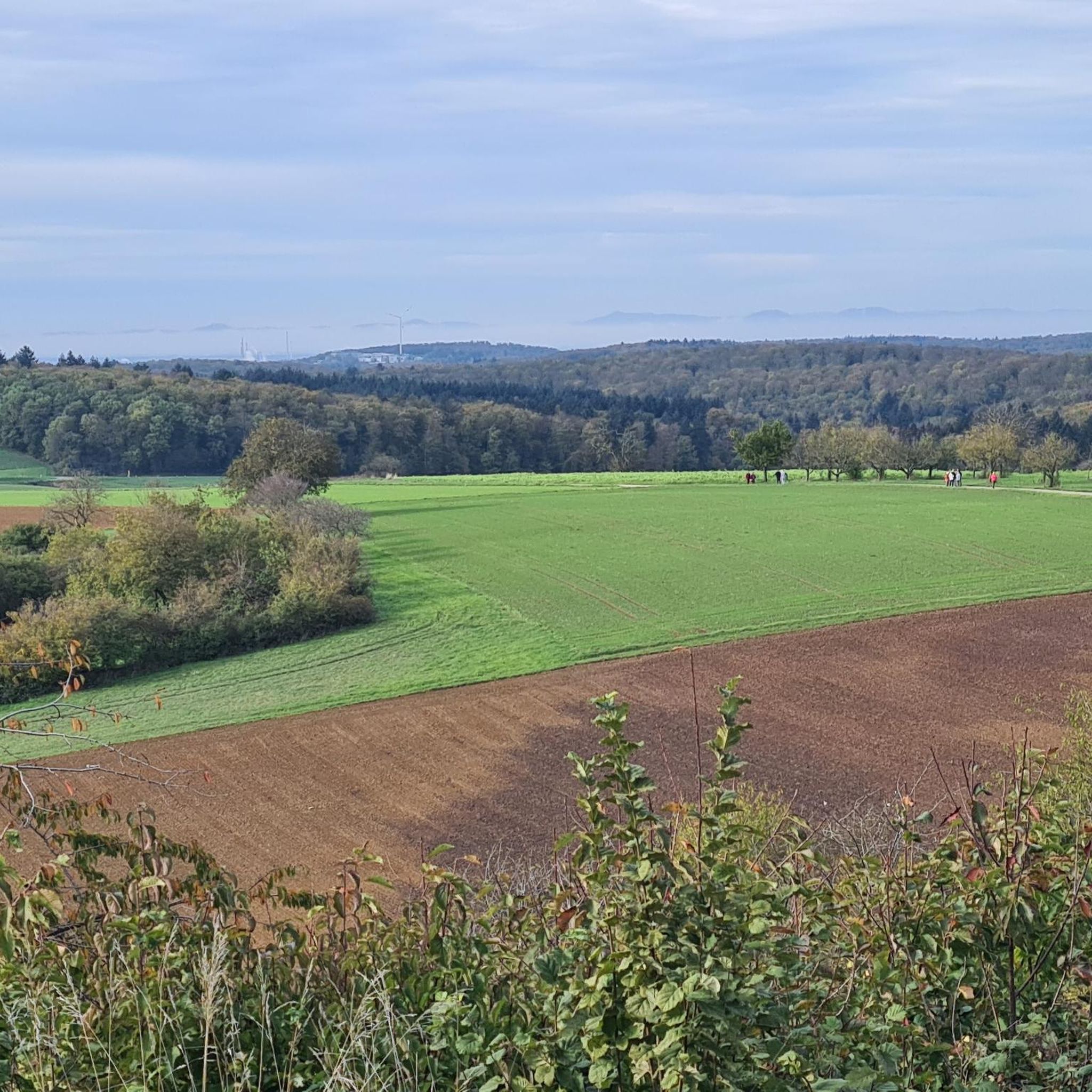
Running Trails around Königsbach-Stein
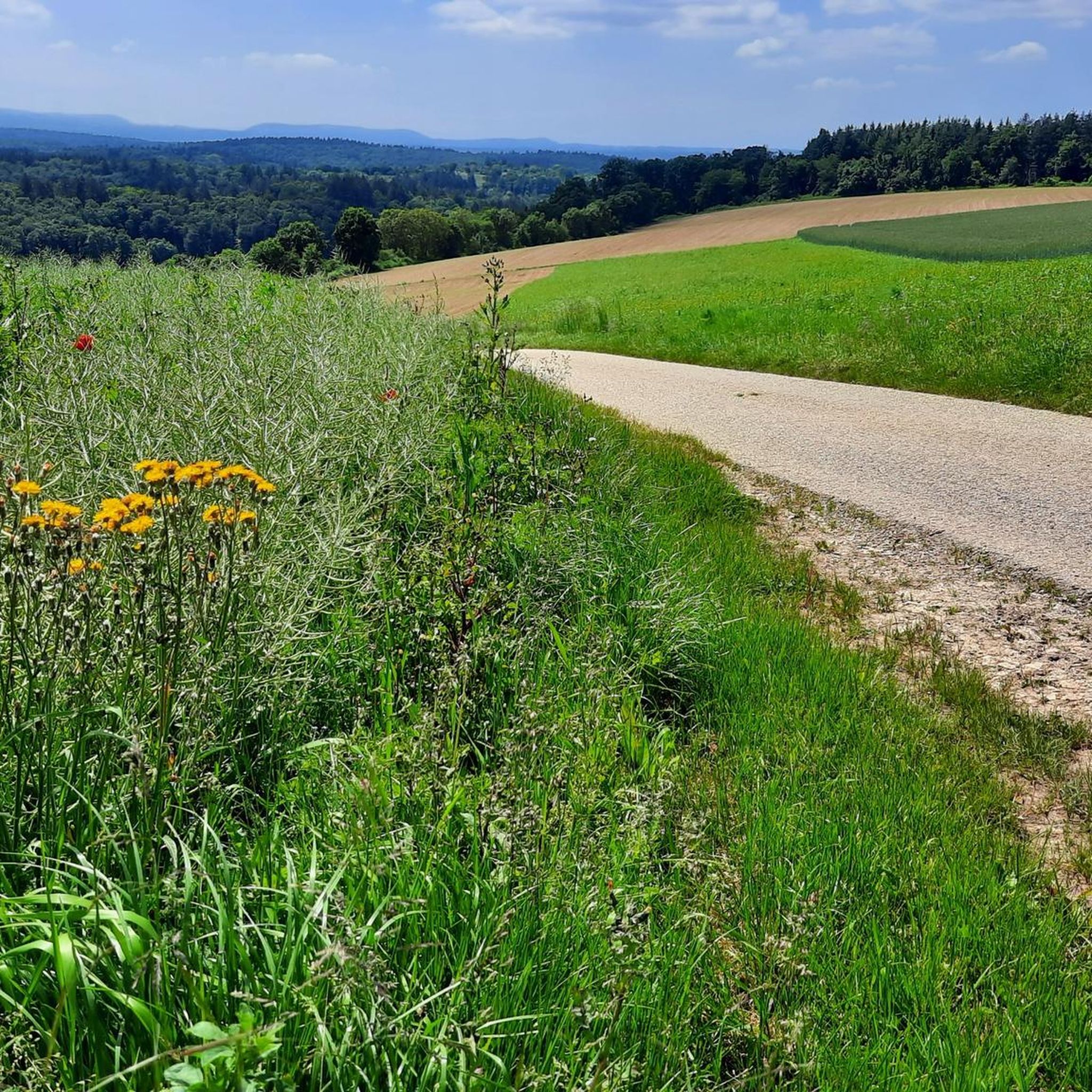
Running Trails around Straubenhardt
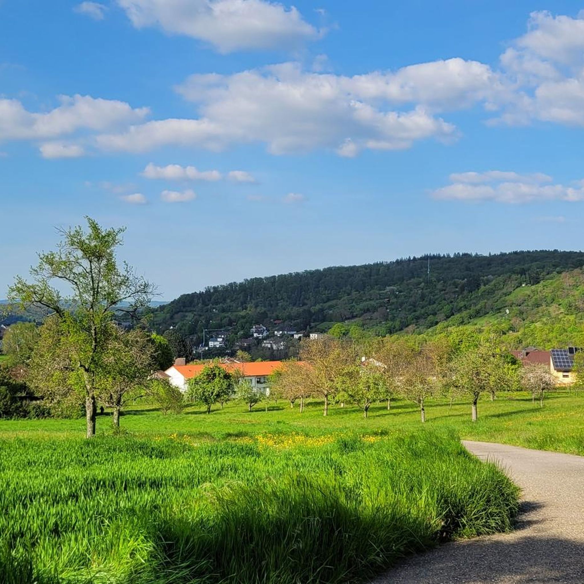
Running Trails around Niefern-Öschelbronn
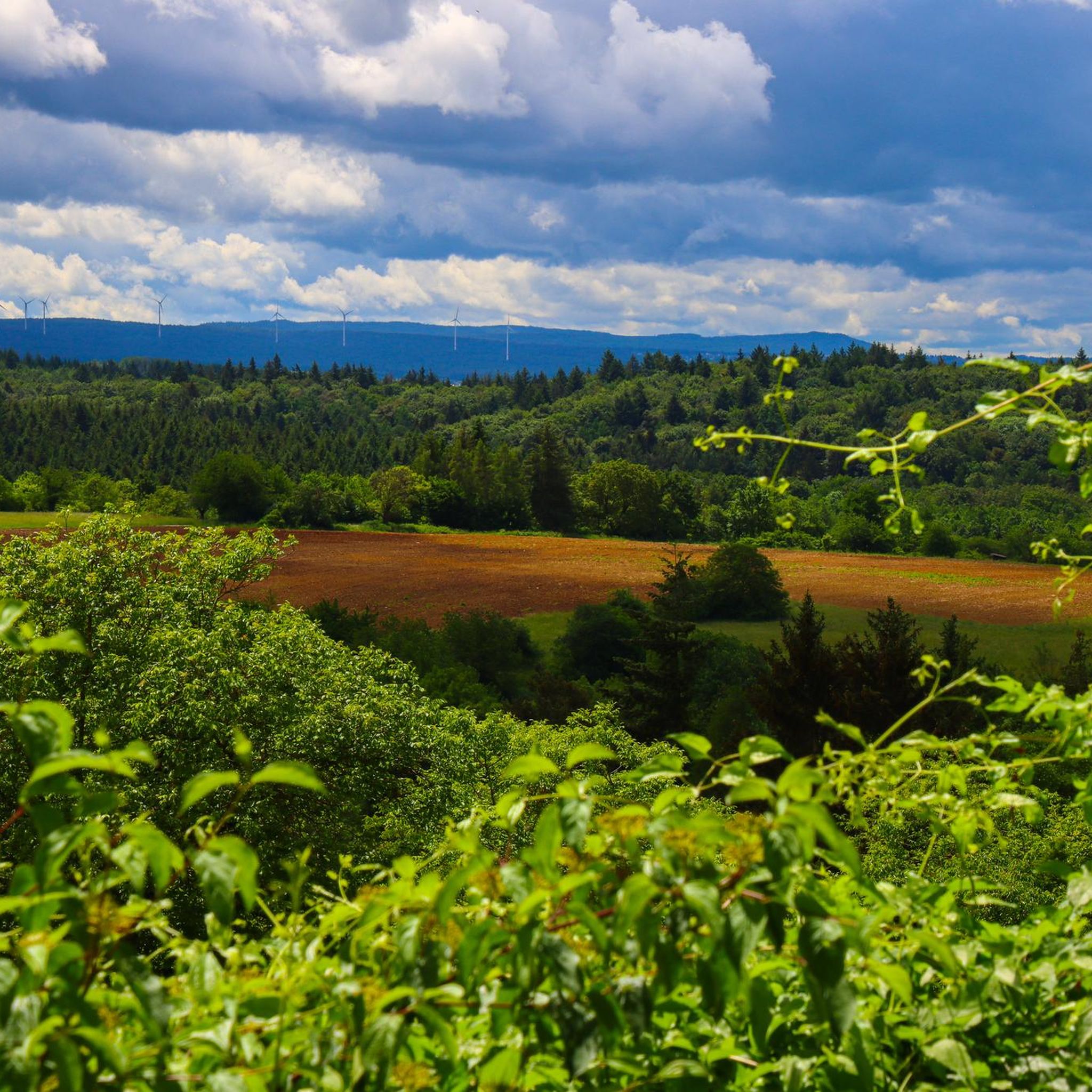
Running Trails around Kämpfelbach
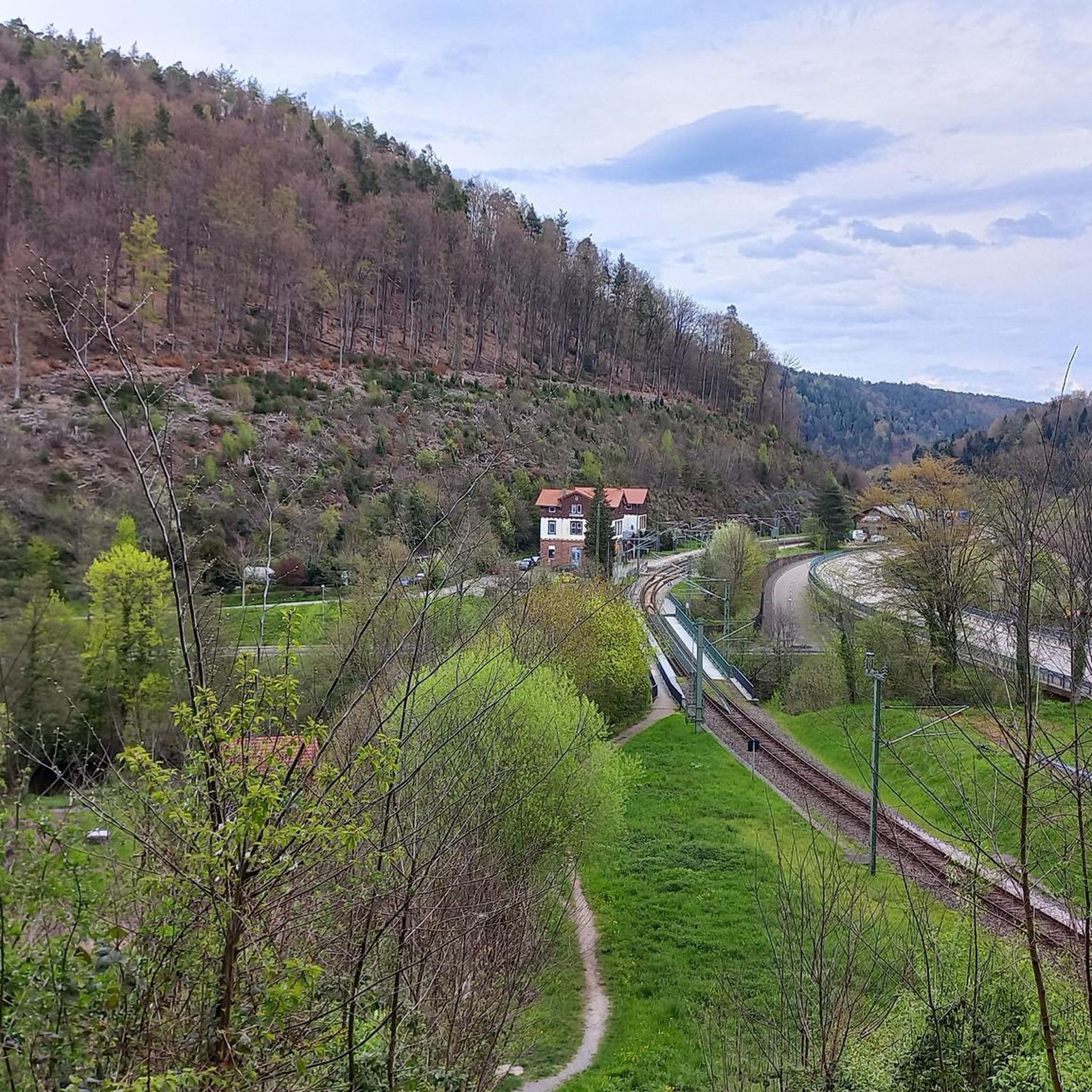
Running Trails around Neuenbürg
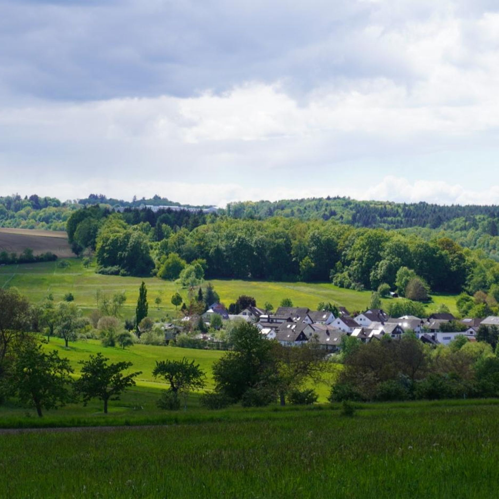
Running Trails in Pfinzquellen
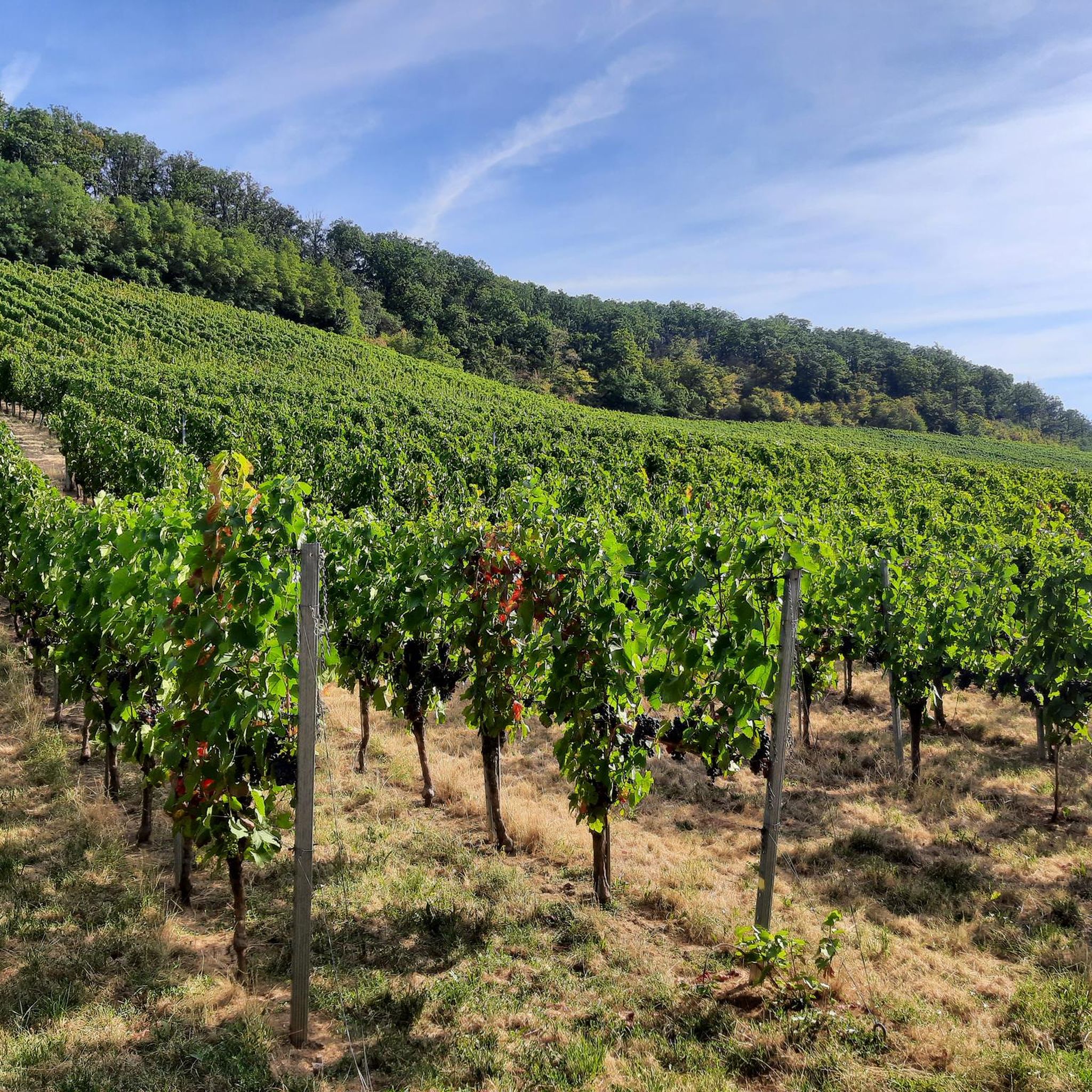
Running Trails in Wannenwald
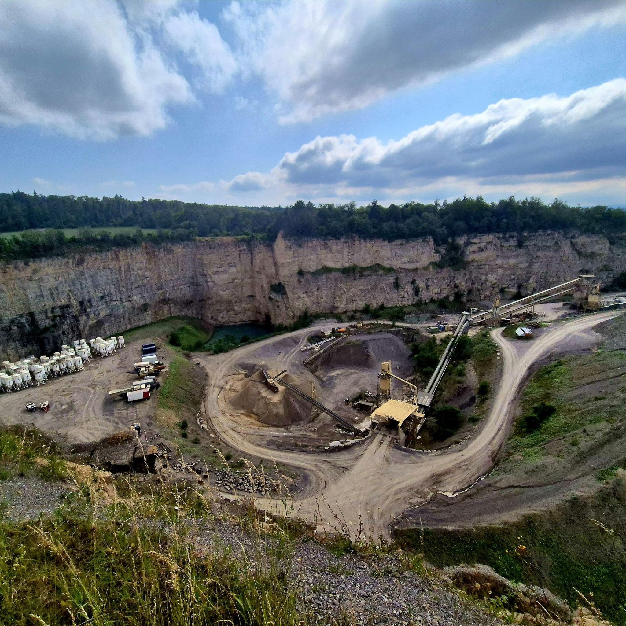
Running Trails around Heimsheim
Other adventures in the Enzkreis


Tips from the Community

The Nonnenwag water retention basin or Flößersteg Monbach is located at an altitude of 308 m above sea level. The Nagold above Pforzheim was navigable by means of 95 artificially constructed impoundments, with a navigable length of 88 km. Around 1890, the water retention basin was rebuilt as a waterworks. Later, a fish ladder and an eel ladder were built. An information board provides further technical details.
7
0

Pay special attention to pedestrians here!
0
0

The Lengenbach, a tributary of the Nagold River, is dammed to create the Stadtsee (City Lake). A footpath encircles the lake, measuring just 300 meters. The walk is worthwhile, as the path offers a variety of scenic views. An information panel on the lake's shore explains that the Stadtsee was originally a reservoir for powering the waterwheel of the former Lower Mill. It also served as a trout pond, providing sustenance for the local fish. It remains unclear whether the dam was commissioned by Hirsau Abbey or by the local lords of the castle. Since 2013, a sandstone statue has stood on the lake's shore. It depicts the legendary giant "Erkinger," who once ruled Liebenzell Castle. As of 2021, the mill site located between the Stadtsee and St. Blasius Church awaits development. In this context, the Lengenbach stream is to flow above ground again from the city lake to the Nagold river. Housing and public parking are planned for the area.
1
0
The town lake in Bad Liebenzell is located on the orographic left slope of the Nagold Valley, approximately 200 meters west of the Nagold River. The Lengenbach, a tributary of the Nagold River, is dammed in the town lake by a small dam. A footpath can be used to circumnavigate the town lake. The circular path is just about 300 meters long. Walking around the small lake is worthwhile, as new views continually open up along the way.
3
0
A beautiful, natural hiking trail that runs parallel to the forest path, always along the Epping Lines. In some places where the ditch has been filled in to create forest roads, you also have a good view of the cross-section of the former defense system.
7
0
The so-called Horse Fountain, located on Hauptstraße in Niefern, was inaugurated on November 30, 2013. The idea for the fountain and its procurement came from Ulrich Kollmar. The sculpture featuring a rider and horse was designed by Berlin artist Bärbel Dieckmann.
5
0

Always nice and it brings a bit of variety to the path.
0
0
Frequently Asked Questions
What kind of terrain can I expect on running trails in the Enzkreis?
The Enzkreis region offers a highly diverse landscape for running. You'll find agricultural areas with fields and vineyards in the Kraichgau, forested heights and gentle valleys in the Stromberg, and the unique hedgerow-rich Heckengäu. The southwestern part extends into the Northern Black Forest, featuring dense fir forests and wide plateaus. Additionally, several river valleys, such as those of the Enz, Nagold, Würm, and Pfinz, provide flatter paths alongside waterways, offering a mix of experiences from riverside jogs to more challenging hilly trails.
How many running routes are available in the Enzkreis region?
There are over a thousand running routes available in the Enzkreis, catering to various preferences and fitness levels. Specifically, komoot lists over 1070 routes, with a good distribution across different difficulty grades.
Are there running routes suitable for beginners or those looking for an easy jog?
Yes, the Enzkreis offers plenty of options for easy jogs. There are over 130 routes classified as easy, perfect for beginners or those seeking a relaxed run. These often include scenic river paths like parts of the Enz Canal Path.
What are some challenging running routes in the Enzkreis for experienced runners?
For experienced runners seeking a challenge, the Enzkreis has over 110 difficult routes. One notable option is the Schützingener Höhenmeter – a trail for your heart & legs, which covers over 15 km with significant elevation gain. Another demanding route is the Pfinz River Path – Pfinz River loop from Wilferdingen-Singen, offering a longer distance of over 17 km.
Are there any running trails that offer great views or scenic landmarks?
Absolutely! Many routes in the Enzkreis boast beautiful scenery. The Hornrunde – elevation gain with guaranteed views is specifically known for its scenic vistas. You can also find natural monuments like the Rock Gardens Mühlhausen, and the region's varied topography ensures picturesque backdrops, from river valleys to forested hills. For historical sights, consider routes near castles like Neuenbürg Castle or Mühlhausen Castle on the Enz.
Can I find running routes that are suitable for families?
Yes, the Enzkreis has many family-friendly running routes, especially those along the river valleys. Paths like the Enz Canal Path – Enz Gardens, Mühlacker loop from Niefern-Öschelbronn are generally flatter and offer pleasant surroundings, including the Enz Gardens, making them suitable for a family jog or walk.
Are there any dog-friendly running trails in the Enzkreis?
Many trails in the Enzkreis are suitable for running with dogs, particularly those through forests and open countryside. While specific rules may vary by location, generally, dogs are welcome on most natural trails, provided they are kept on a leash and owners clean up after them. The extensive forested areas, such as those found on the Forests & watchtowers – trail along the Eppingen lines, offer great opportunities for you and your canine companion.
What are the best times of year to go running in the Enzkreis?
The Enzkreis is enjoyable for running throughout much of the year. Spring and autumn offer particularly pleasant temperatures and beautiful scenery, with blooming flowers or vibrant fall foliage. Summer is also great, especially for shaded forest trails. In winter, some paths might be muddy or icy, but many routes remain accessible for a refreshing cold-weather run.
Are there any circular running routes in the Enzkreis?
Yes, many of the running routes in the Enzkreis are designed as circular loops, allowing you to start and end at the same point. Examples include the Enz Canal Path – Enz Gardens, Mühlacker loop from Niefern-Öschelbronn and the Billingen–Stern Scenic Trail loop from Stein. These are convenient for parking and exploring without needing to arrange transport back to your starting point.
What can I see along the running routes in terms of natural features or points of interest?
The Enzkreis is rich in natural beauty and historical sites. Along your runs, you might encounter the dramatic Monbachtal Gorge with its unique water crossings, or the serene Würm Valley. The region also features various castles and towers, such as the Schlossberg Tower in Sternenfels, offering historical context and often great viewpoints.
What do other runners enjoy most about jogging in the Enzkreis?
The running routes in the Enzkreis are highly rated by the komoot community, with an average score of 4.5 stars from nearly 900 reviews. Runners often praise the diverse and scenic landscapes, from quiet woodlands to picturesque river paths, and the variety of routes available for all fitness levels. The well-maintained trails and the opportunity to explore both natural beauty and historical sites are frequently highlighted.
Are there any long-distance running trails in the Enzkreis?
Yes, for those looking for longer runs, the Enzkreis offers several routes exceeding 15 km. The Pfinz River Path – Pfinz River loop from Wilferdingen-Singen is a substantial 17.6 km trail, and the Pferdebrunnen Niefern – Enz Gardens, Mühlacker loop from Mühlacker also provides a challenging distance of over 15 km, perfect for endurance training.
Most popular routes in the Enzkreis
Most popular attractions in the Enzkreis

Get inspired with the komoot mobile app


Didn’t find what you were looking for?
Check out more Running Trails & Routes throughout Enzkreis below and find the perfect route in your destination.
Explore more
Browse the best Running Trails & Routes in other regions.
