The best mountain hikes in the Electoral Palatinate
4.7
(24)
106
hikers
36
hikes
Mountaineering in the Electoral Palatinate is characterized by the expansive Palatinate Forest, Germany's largest contiguous forest area, which features unique red sandstone rock formations. The region includes rolling hills and steep peaks, with the Donnersberg reaching 687 meters. The landscape combines dense forests with picturesque vineyards, offering diverse terrain for mountaineering routes.
Best mountaineering routes in the Electoral Palatinate
- The most popular mountaineering route is Bishop’s Cross on Teufelsberg – Dreimärker Stone loop from Albersweiler (Pfalz), a 13.7 miles…
Last updated: July 1, 2026
4.0
(4)
8
hikers
Hard mountaineering route. Very good fitness required. Mostly accessible paths. Sure-footedness required.
5.0
(1)
1
hikers
Moderate mountaineering route. Good fitness required. Easily-accessible paths. Suitable for all skill levels.

Sign up for free
5.0
(1)
11
hikers
4.08km
01:54
420m
420m
Moderate mountaineering route. Good fitness required. Easily-accessible paths. Suitable for all skill levels.
3.0
(1)
12
hikers
Easy mountaineering route. Great for any fitness level. Easily-accessible paths. Suitable for all skill levels.
3
hikers
10.4km
03:25
450m
450m
Moderate mountaineering route. Good fitness required. Mostly accessible paths. Sure-footedness required.
Get access to more routes and recommendations from other explorers.
Sign up for free
Already have an account?
Our route recommendations are based on thousands of hikes, rides, and runs completed by other people on komoot.
Start today with a free account
Your next adventure awaits.
Login or Signup
Popular around Electoral Palatinate
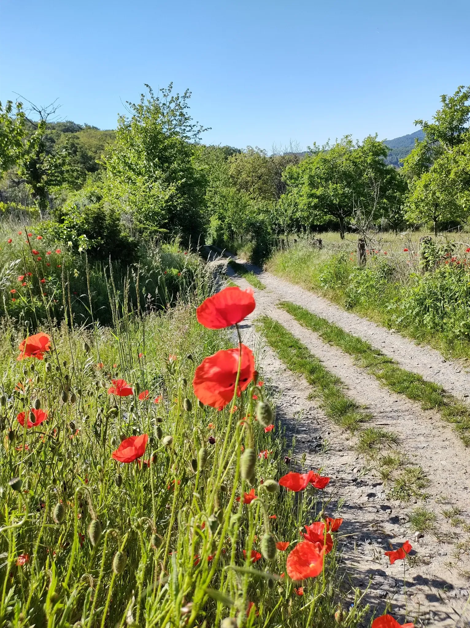
Bergsträßer Blütenweg – Between vines and flowers
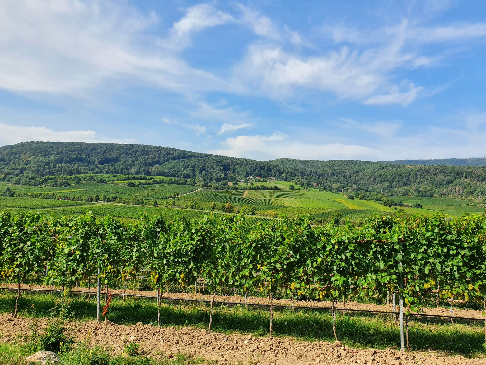
The German Wine Route through the Palatinate — Come here, walk away!
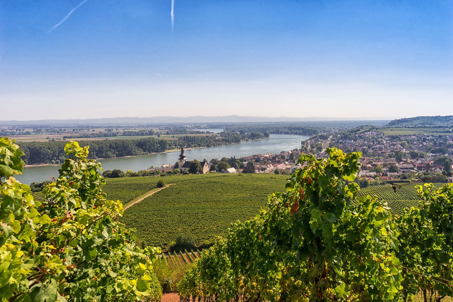
RheinTerrassenWeg – Hike through vineyards along Germany's River Rhine
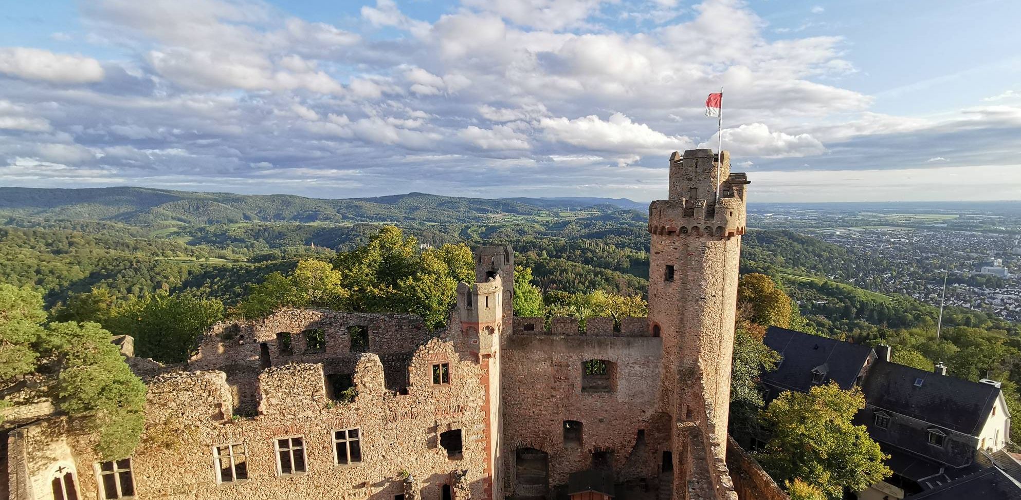
Burgensteig Bergstraße – In the footsteps of knights, hiking in 9 stages
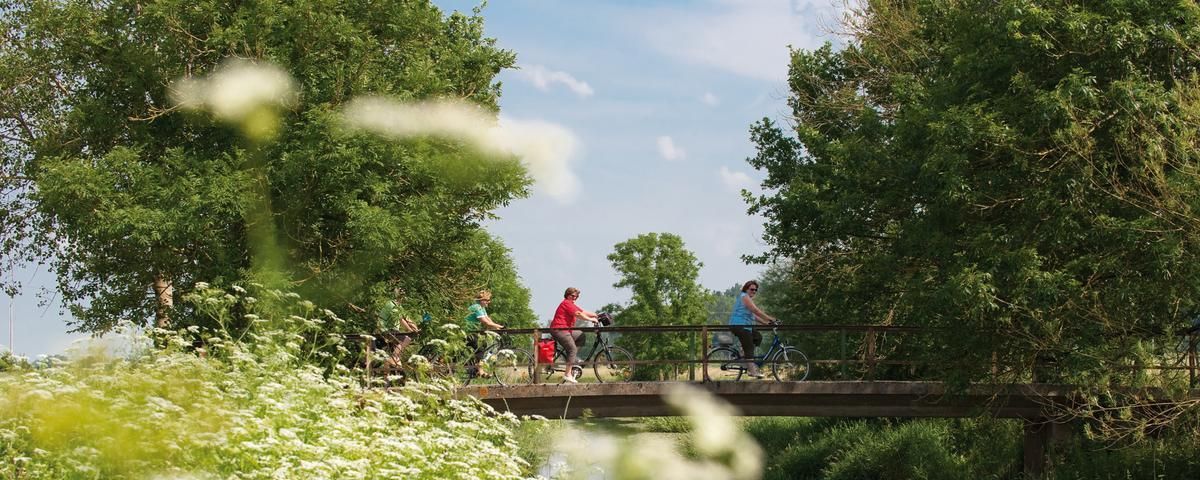
The most beautiful long-distance cycle paths in Franconia
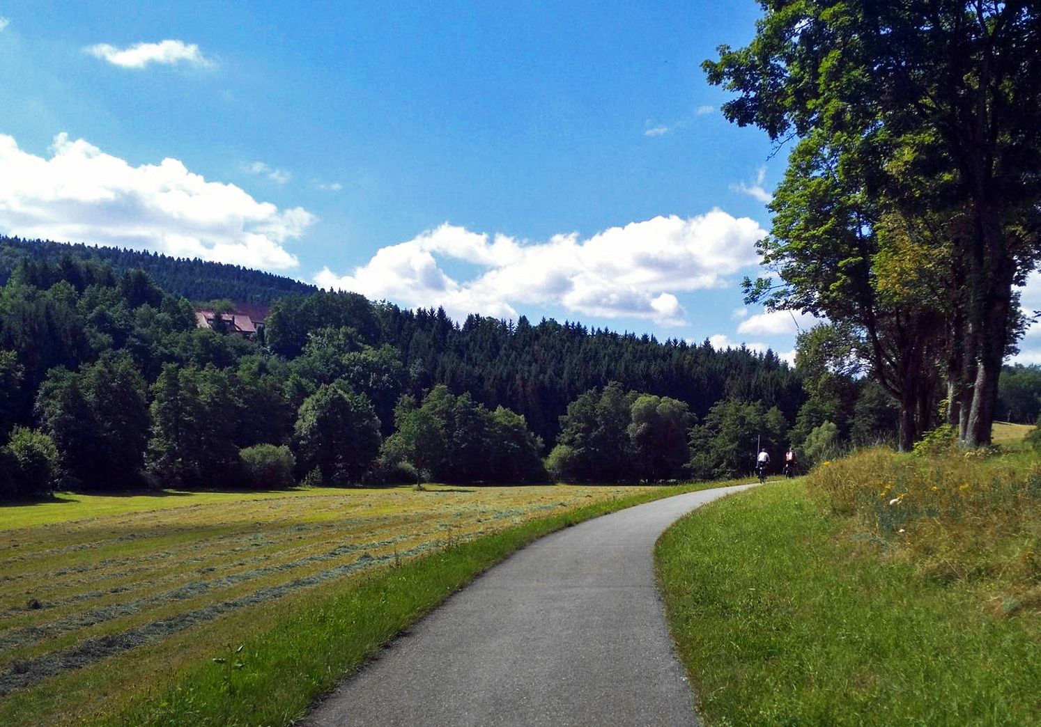
The Heidelberg-Schwarzwald-Bodensee-Radweg
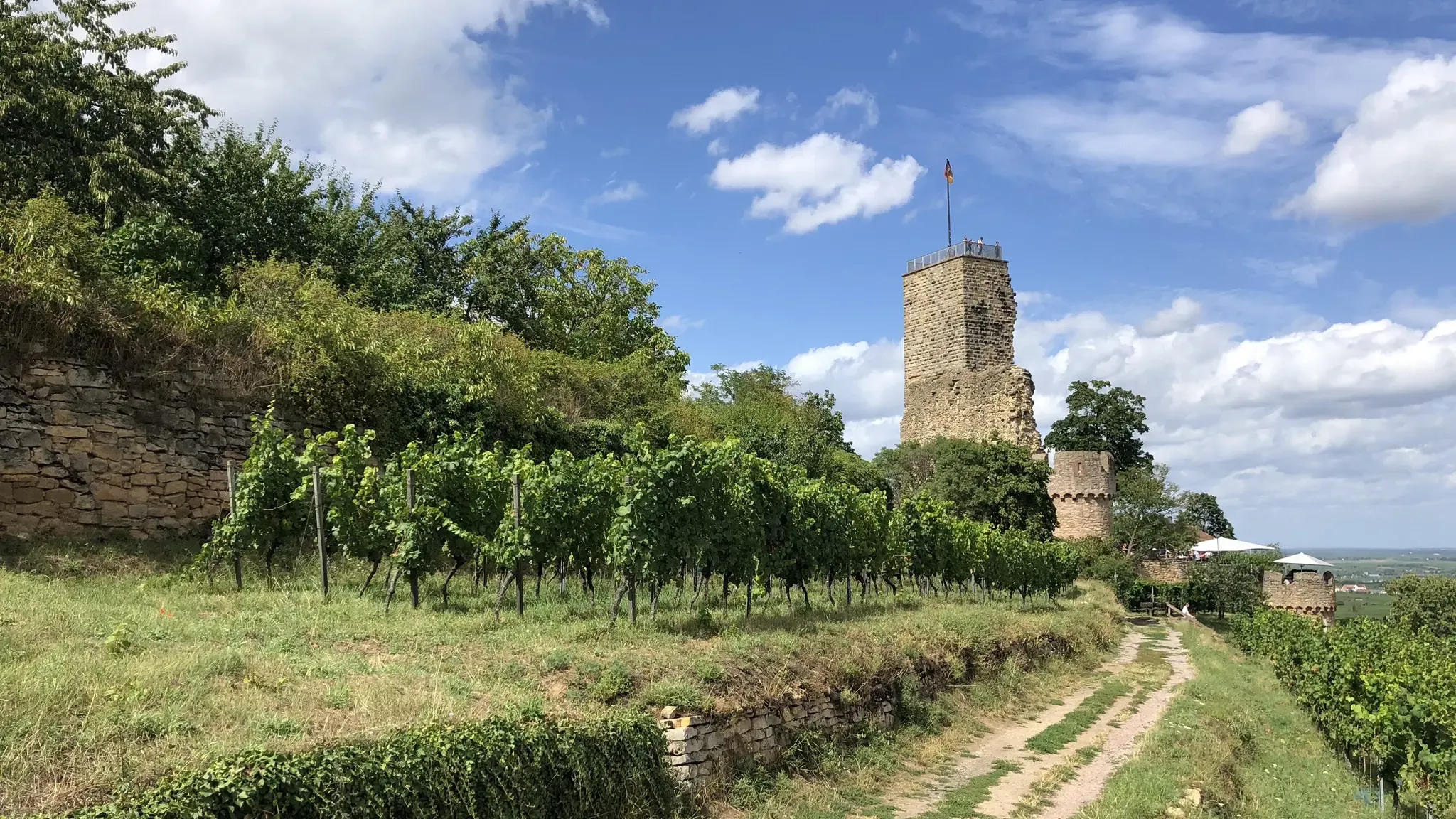
Pfälzer Weinsteig trail – 11 stages along forests and vinyards
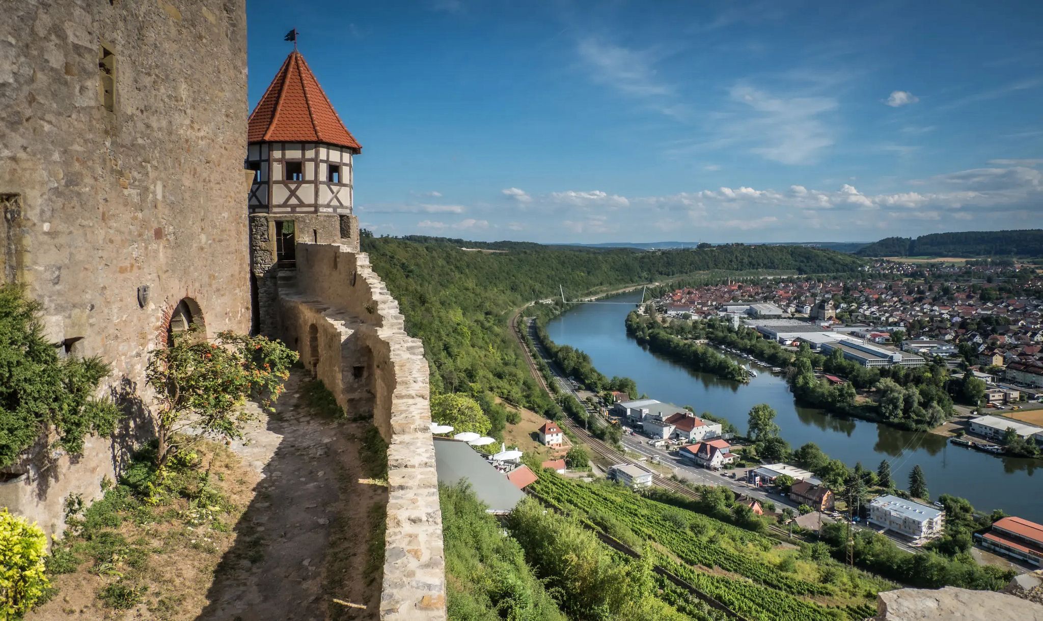
The Neckarsteig trail – 9 stages along the edge of the Odenwald

The Rhine Cycle Path — From the source to the North Sea
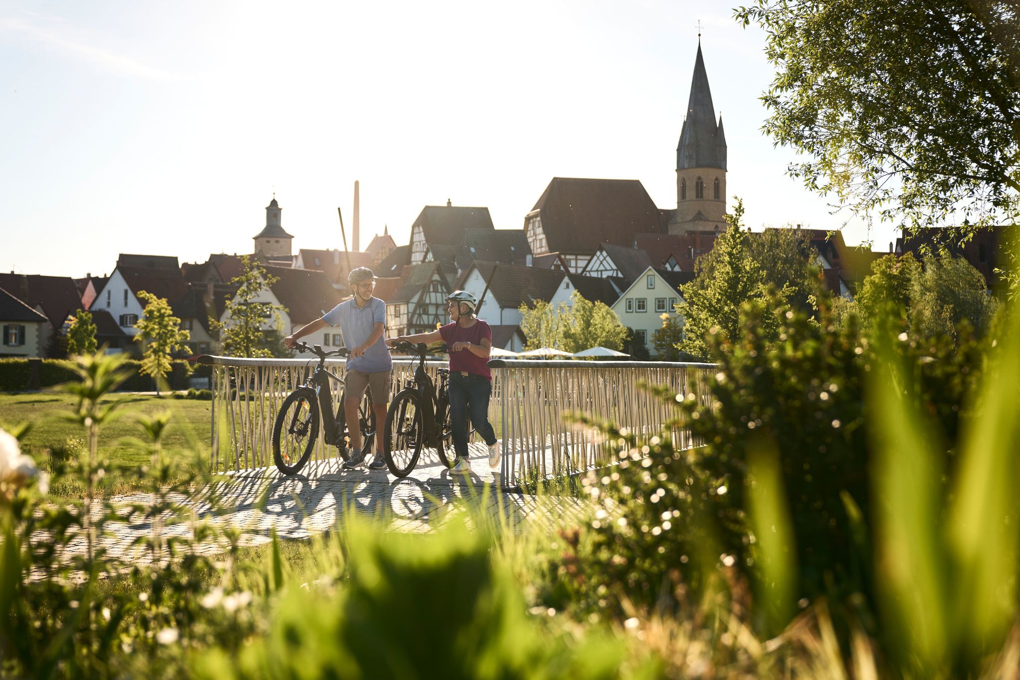
Half-timbered houses and superb cycling tours – the best of the South
Other adventures in the Electoral Palatinate


Tips from the Community

Locals often refer to it as the "Wetterkreuz" instead of the Bischofskreuz. The last approx. 100 m to the summit can be managed with a mountain bike, but older bikers should partially push their bikes due to numerous tree roots and stones.
0
0

... take a hat with you. When you sweat, the wind blows on the Königstuhl
0
0

After a long climb to the Kalmit, you will be rewarded with a fantastic view
5
0

"The church's foundation stone was laid on May 23, 1954. It was named after the reformer Martin Bucer (1491-1551). Inside the church is a bronze cross created in 1977 by the sculptor Gernot Rumpf. Grapevines have broken through the cross at a kind of predetermined breaking point." Source (quoted verbatim): https://www.evkirche-queich-weinstrasse.de/index.php/pfarrstellen/pfarrstelle-rhodt-frankweiler/kirchen/prot-kirche-gleisweiler-martin-bucer-kirche
1
0

The view of the Rhine Valley is fantastic. You can see the Odenwald and the Black Forest from here.
1
0

The Kalmit is located near Maikammer in the Southern Wine Route district of Rhineland-Palatinate. At 673.64 meters above sea level, it is the highest mountain in the Palatinate Forest. From up here, you have breathtaking views of the Rhine plain, the Odenwald forest, and even the Black Forest. Simply amazing 🤩👌🏼. There's also a rest hut up here where you can enjoy delicious food 😋👍🏼.
4
0

very good food, nice host.
0
0

At the parking lot in front of the Kalmithaus, the slippery road ends: the asphalt simply ends, as if someone had said, "Okay, adventure begins here!" From there, things get really tricky for road bikes – rough gravel, small stones, and the constant fear of getting a flat tire. You briefly consider whether you love your bike... or just ride over it. But honestly: The last stretch is still worth it. It's short, nasty – and at the top, the reward is complete. A view to fall in love with, a clear view all the way to the Odenwald (if the mist is kind), a cool drink from the hut, and that muscle cramp you trust. Perfect. If you've made it this far, you'll still make it all the way to the top. And afterward: roll down the gravel, let off some air (from your lungs, not the tires), and proudly say, "Kalmit? Sure – I made it."
1
0
Frequently Asked Questions
How many mountaineering routes can I find in the Electoral Palatinate?
There are over 35 mountaineering routes available in the Electoral Palatinate, offering a wide range of experiences through the region's diverse landscapes, from dense forests to unique sandstone formations.
Are there any easy mountaineering routes suitable for beginners in the Electoral Palatinate?
Yes, the Electoral Palatinate offers several easier routes. For example, the View from Königstuhl – Rest Area at the Himmelsleiter loop from Heidelberg is an easy 1.7 km path that takes about 1 hour to complete, perfect for those new to mountaineering.
What are the difficulty levels of mountaineering routes in the Electoral Palatinate?
The routes in the Electoral Palatinate cater to various skill levels. You'll find 5 easy routes, 29 moderate routes, and 5 difficult routes, ensuring there's a suitable challenge for everyone.
Are there any family-friendly mountaineering options in the Electoral Palatinate?
While many routes involve varied terrain, some shorter, easier paths can be suitable for families. Look for routes marked as 'easy' or 'moderate' with shorter distances, such as the View from Königstuhl – Rest Area at the Himmelsleiter loop from Station Kornmarkt, which is 3.5 km long and takes under 2 hours.
Can I bring my dog on mountaineering trails in the Electoral Palatinate?
Many trails in the Palatinate Forest are dog-friendly, allowing you to explore the region's natural beauty with your canine companion. It's always a good idea to check specific route details for any restrictions and ensure your dog is kept on a leash, especially in nature reserves or near wildlife.
Are there circular mountaineering routes available in the Electoral Palatinate?
Yes, many mountaineering routes in the Electoral Palatinate are designed as loops, allowing you to start and end at the same point. An example is the challenging Bishop’s Cross on Teufelsberg – Dreimärker Stone loop from Albersweiler (Pfalz), a 22.1 km route that offers a comprehensive exploration of the Palatinate Forest.
What kind of natural features can I expect to see along the mountaineering routes?
The Electoral Palatinate is famous for its unique red sandstone rock formations, which have been sculpted into impressive shapes over millions of years. You'll also traverse vast, dense forests and encounter rolling hills, with some areas blending seamlessly into picturesque vineyards.
Are there any waterfalls or other water features to see on the trails?
Yes, the region features beautiful water attractions. You might encounter highlights like the Margaretenschlucht Waterfalls or the Wolf Gorge Waterfalls (Odenwald), which add to the scenic beauty of your mountaineering experience.
Are there any historical landmarks or castles along the mountaineering routes?
The landscape is dotted with medieval castles and ruins. While not directly on the listed routes, many trails in the broader Palatinate region lead to significant historical sites like Trifels Castle near Annweiler or Hambach Castle, offering a blend of natural beauty and historical exploration.
What do other mountaineers say about the routes in the Electoral Palatinate?
The mountaineering routes in the Electoral Palatinate are highly regarded by the komoot community, boasting an average rating of 4.8 stars from over 20 reviews. Users frequently praise the varied terrain, extensive forests, and the unique sandstone rock formations that define the region.
Are there opportunities for refreshments or pub stops along the trails?
Yes, the region offers various opportunities for refreshment. Some routes, like the St. Martin Church – Weinstube Altes Rathaus loop from Sankt Martin, pass through charming villages where you can find local eateries or traditional 'Weinstuben' (wine taverns) to enjoy local cuisine and wines.
What is the best time of year for mountaineering in the Electoral Palatinate?
The Palatinate benefits from a mild, Mediterranean-like climate in some areas, making it suitable for mountaineering for much of the year. Spring and autumn offer pleasant temperatures and vibrant scenery, while summer provides longer daylight hours. Always check local weather conditions before heading out.
Is public transport available to access mountaineering routes in the Electoral Palatinate?
Many towns and villages in the Electoral Palatinate are accessible by public transport, which can serve as starting points for various routes. For instance, the View from Königstuhl – Rest Area at the Himmelsleiter loop from Station Kornmarkt starts conveniently near a train station, making it accessible without a car.
Most popular routes in the Electoral Palatinate
Most popular attractions in the Electoral Palatinate

Get inspired with the komoot mobile app


Explore more
Browse the best Mountain Hikes & Routes in other regions.
