Kingston Bagpuize With Southmoor
Kingston Bagpuize With Southmoor
The best walks and hikes around Kingston Bagpuize With Southmoor
4.5
(394)
2,715
hikers
178
hikes
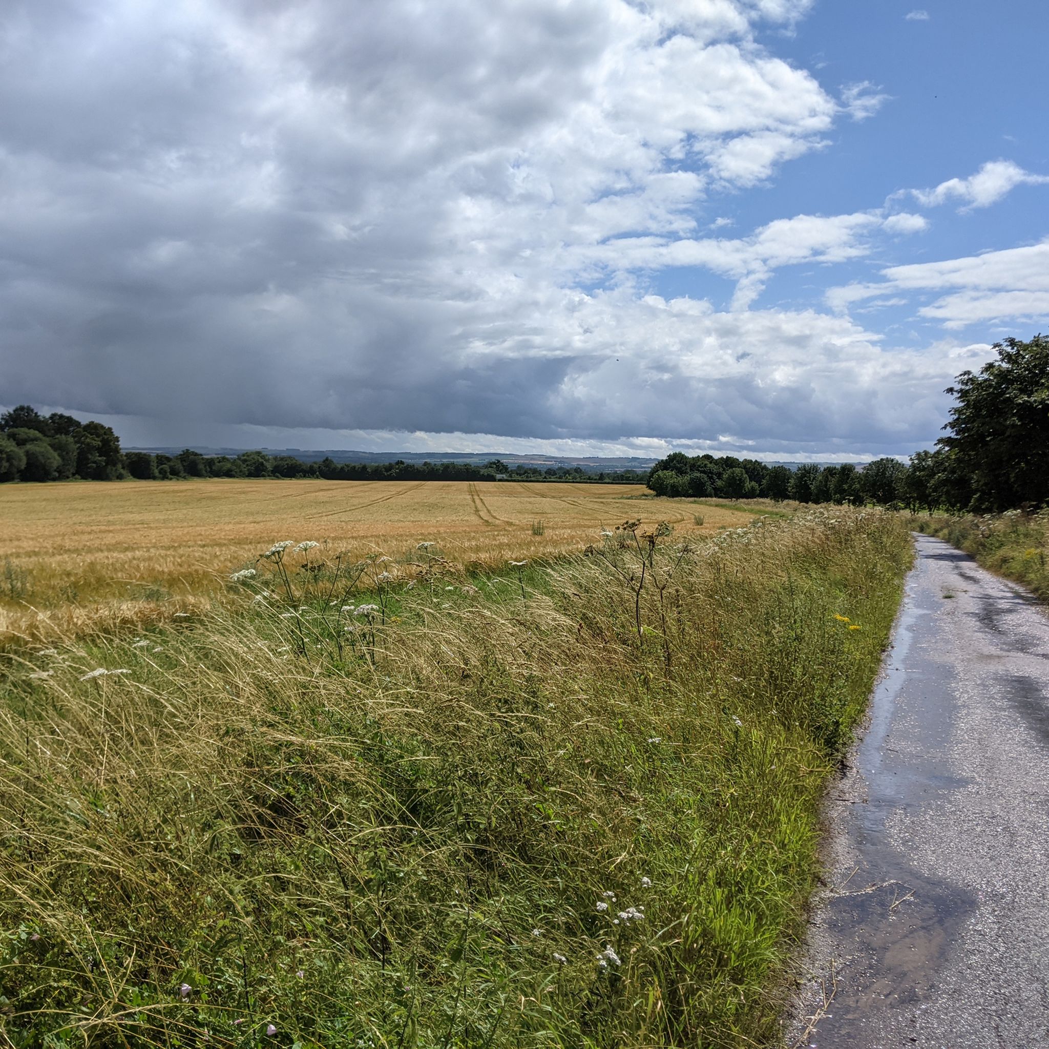
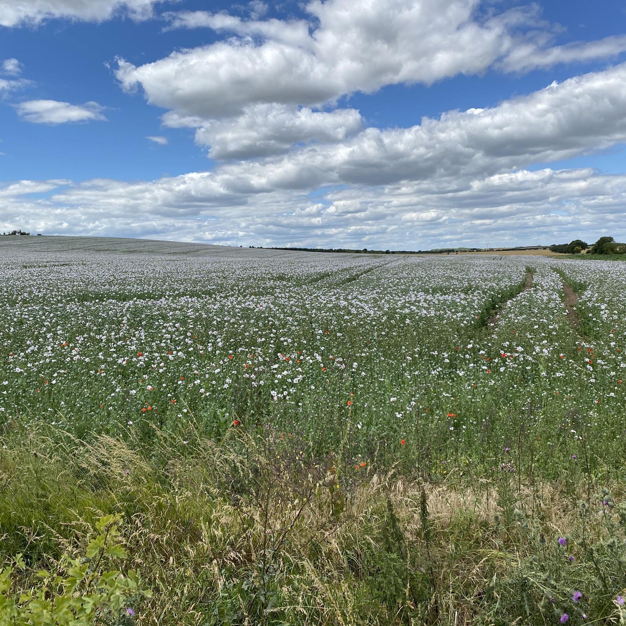
Hiking around Kingston Bagpuize With Southmoor offers a network of trails primarily characterized by low elevation gains and open, agricultural landscapes. The region features paths along river valleys, through meadows, and connecting small villages. These Kingston Bagpuize With Southmoor walking routes provide accessible options for exploring the Oxfordshire countryside.
Best hiking trails around Kingston Bagpuize With Southmoor
- The most popular hiking route is The Blue Boar – Duxford Ford loop from Longworth, a 5.5 miles (8.8 km) trail that takes 2 hours 17 minutes to complete. This moderate route explores the local countryside and river areas.
- Another top favourite among local hikers is New Bridge – The Blue Boar loop from Longworth, an easy 4.1 miles (6.6 km) path. This trail offers gentle gradients through rural settings, suitable for family friendly walks Kingston Bagpuize With Southmoor.
- Local hikers also love the Shifford Lock Cut Bridge – Shifford Lock Bridge loop from Chimney Meadows, a 5.0 miles (8.1 km) trail leading through riverine landscapes and meadows, often completed in about 2 hours 5 minutes.
- Hiking around Kingston Bagpuize With Southmoor is defined by river valleys, open fields, and connecting village paths. The network offers options for different ability levels, including easy hiking trails Kingston Bagpuize With Southmoor.
- The routes in Kingston Bagpuize With Southmoor are highly rated by the komoot community with an average score of 4.5 stars from over 300 reviews. More than 2,400 hikers have used komoot to explore Kingston Bagpuize With Southmoor's varied terrain.
Last updated: June 25, 2026
4.7
(3)
21
hikers
8.89km
02:18
50m
50m
Moderate hike. Good fitness required. Easily-accessible paths. Suitable for all skill levels.
4.8
(5)
14
hikers
6.60km
01:43
50m
50m
Easy hike. Great for any fitness level. Easily-accessible paths. Suitable for all skill levels.

Sign up for free
14
hikers
8.12km
02:05
40m
40m
Moderate hike. Good fitness required. Easily-accessible paths. Suitable for all skill levels.
5.0
(1)
6
hikers
12.2km
03:09
60m
60m
Moderate hike. Good fitness required. Easily-accessible paths. Suitable for all skill levels.
5.0
(1)
5
hikers
15.0km
03:52
70m
70m
Moderate hike. Good fitness required. Easily-accessible paths. Suitable for all skill levels.
Get access to more routes and recommendations from other explorers.
Sign up for free
Already have an account?
Our route recommendations are based on thousands of hikes, rides, and runs completed by other people on komoot.
Start today with a free account
Your next adventure awaits.
Login or Signup

Tips from the Community

Can be slippery and deep, wouldn't want to do this in winter.
0
0

The bridge is wide and flat. On the north side is a good and smooth tarmac road towards Aston. On the other side, on Chimney Meadows "island", is a bridleway to the ford leading to Duxford and a path (cyclable but it's meant to be walked) leading to a hump-back bridge with steps. If cycling you'll need to carry your bike over that bridge.
0
0
Bikes need to be carried over the hump-back bridge. The track on either side is single-track. Cyclable with care although technically it's footpath.
0
0

Temporarily closed, so you can’t’t go in a loop, but you can continue path through wooden bridge. Lock is in the centre of a triangle formed by the small villages of Shifford, Duxford and Chimney. It is at the start of a navigation cut built with the lock by the Thames Conservancy in 1898.
0
0
It’s closed temporarily so you can’t go in a loop
0
0

A Grade II listed church. The South Chapel was built in the 13th Century and the majority of the main building built in the 14th and 15th Centuries. The Neo-Gothic porch with the pinnacles was only added in the 1860's. And the tower suffered a fire in the late 1800's but was restored later.
1
0

In autumn/winter months when this crossing can be dangerously deep take a footpath along the Thames which will allow you to cross via a footbridge and thereby gain access to the other side of this ford. It's quite fun!
1
0
Frequently Asked Questions
How many hiking trails are available around Kingston Bagpuize With Southmoor?
There are over 170 hiking routes in the Kingston Bagpuize With Southmoor area. These trails primarily feature low elevation gains and traverse open, agricultural landscapes, including paths along river valleys and through meadows.
Are there easy hiking trails suitable for beginners or casual walkers?
Yes, the region offers a good selection of easy trails. Approximately 83 routes are classified as easy. An example is the New Bridge – The Blue Boar loop from Longworth, which is 4.1 miles (6.6 km) long and features gentle gradients through rural settings.
What is the typical length and duration of hikes in this area?
Hikes in Kingston Bagpuize With Southmoor vary in length, but many popular routes range from 4 to 8 miles (6 to 13 km), typically taking between 1.5 to 3 hours to complete. For instance, the The Blue Boar – Duxford Ford loop from Longworth is 5.5 miles (8.8 km) and takes about 2 hours 17 minutes.
Are there any circular hiking routes available?
Many of the trails in the area are circular, allowing you to start and end at the same point. For example, the Shifford Lock Cut Bridge – Shifford Lock Bridge loop from Chimney Meadows is a 5.0-mile (8.1 km) circular route through riverine landscapes.
What kind of landscapes can I expect to see on the trails?
The trails around Kingston Bagpuize With Southmoor are characterized by open fields, agricultural land, and river valleys. You'll often find paths connecting small villages and offering views of the Oxfordshire countryside.
Are the hiking trails in Kingston Bagpuize With Southmoor suitable for families with children?
Yes, many trails are suitable for families. The gentle gradients and relatively short distances of many routes make them ideal for children. The New Bridge – The Blue Boar loop from Longworth is specifically highlighted as family-friendly.
What do other hikers enjoy most about the trails in this region?
The komoot community highly rates the trails, with an average score of 4.5 stars from over 300 reviews. Hikers often praise the peaceful rural settings, the accessibility of the paths, and the pleasant walks along the river valleys.
Are there any notable landmarks or attractions to see along the hiking routes?
While the area is primarily rural, you can find interesting points of interest nearby. For example, you might encounter historical churches like St Helen's Church, Abingdon, or enjoy views of the River Thames in Abingdon. Pinkhill Lock also offers a scenic viewpoint.
Is parking generally available near the trailheads in Kingston Bagpuize With Southmoor?
Given the rural nature of the area and the presence of villages, parking is typically available in or near the starting points of many trails, often in village car parks or designated roadside areas. It's always advisable to check specific route details for precise parking information.
What is the best time of year to go hiking in Kingston Bagpuize With Southmoor?
The trails are generally accessible year-round. Spring and summer offer pleasant weather for enjoying the open countryside and river views, while autumn brings colorful foliage. Winter walks are also possible, though paths may be muddier.
Are there any longer, more challenging hikes for experienced walkers?
While the majority of trails are easy to moderate, there are some longer options. For instance, New Bridge – The Blue Boar loop from Fyfield and Tubney is a moderate 9.3-mile (15 km) route, offering a more extended exploration of the local landscape.
Can I find routes that follow river paths?
Yes, many routes in the area incorporate sections along river valleys. The region is known for its riverine landscapes, particularly around the Thames and its tributaries, offering pleasant waterside walking experiences.
Most popular routes around Kingston Bagpuize With Southmoor
Most popular attractions around Kingston Bagpuize With Southmoor

Get inspired with the komoot mobile app


Explore more
Browse the best Hikes in other regions.
