The best mountain hikes around Michelbuch
5.0
(4)
9
hikers
3
hikes
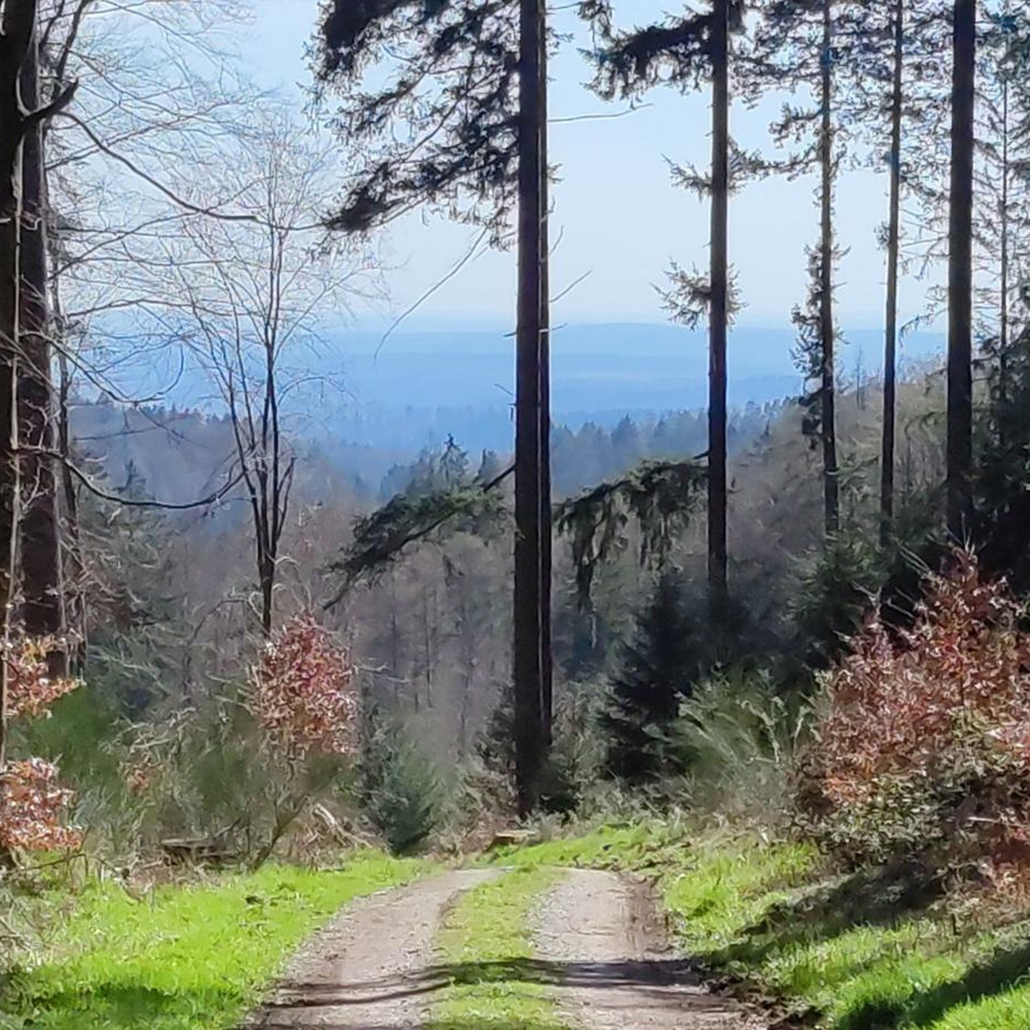
Mountaineering routes around Michelbuch typically traverse forested hills and river valleys, offering varied terrain for exploration. The area features elevations that provide panoramic views, often including historical castle ruins. These routes are characterized by a mix of ascents and descents through natural landscapes.
Best mountaineering routes around Michelbuch
- The most popular mountaineering route is Eberbach castle ruins – Emichsburg Ruins loop from Eberbach, a 13.9 miles (22.3 km) trail that takes 6 hours 34 minutes to complete. This route…
Last updated: October 5, 2026
5.0
(2)
2
hikers
22.4km
06:35
610m
610m
Hard mountaineering route. Very good fitness required. Easily-accessible paths. Suitable for all skill levels.
1
hikers
8.47km
02:45
340m
340m
Moderate mountaineering route. Good fitness required. Mostly accessible paths. Sure-footedness required.

5.0
(1)
3
hikers
12.4km
03:46
440m
440m
Moderate mountaineering route. Good fitness required. Easily-accessible paths. Suitable for all skill levels.
5.0
(1)
2
hikers
Moderate mountaineering route. Good fitness required. Easily-accessible paths. Suitable for all skill levels.
1
hikers
9.61km
02:44
220m
220m
Moderate mountaineering route. Good fitness required. Easily-accessible paths. Suitable for all skill levels.
Our route recommendations are based on thousands of hikes, rides, and runs completed by other people on komoot.
Start today with a free account
Your next adventure awaits.

Tips from the Community


A wonderful spot for a quiet break under the protection of a rock with a roof… great view is included for free
10
0

The small rest area is equipped with two benches and a table with an old stone slab
2
0

At the Katzenbuckelturm, the highest point in the Odenwald, there's an idyllic rest area that offers hikers a well-deserved break. Here, you'll find several seating areas perfect for enjoying the impressive view and recharging your batteries.
10
0
Are there several benches
2
1

Waypoint to the church and Stolzeneck Castle.
6
0

If you've had enough of the view, you can take a break at one of the several benches.
2
0
Frequently Asked Questions
What kind of terrain can I expect on mountaineering routes around Michelbuch?
Mountaineering routes in this area typically traverse forested hills and river valleys, offering a varied landscape. You'll encounter a mix of ascents and descents through natural settings, often providing panoramic views and passing by historical castle ruins. The broader region of Luxembourg, particularly the Mullerthal, is known for its dramatic sandstone rock formations and dense forests.
Are there any challenging mountaineering routes around Michelbuch?
Yes, for those seeking a more demanding experience, the Eberbach castle ruins – Emichsburg Ruins loop from Eberbach is classified as difficult. This route spans 22.3 km and involves significant elevation gain, typically taking over 6 hours to complete.
Are there any circular mountaineering routes available?
Yes, many of the mountaineering routes around Michelbuch are designed as loops. For example, the Stolzeneck Castle Ruins – Heron Lake loop from Burg Stolzeneck and the View of Eberbach – Old Seed School loop from Eberbach are both popular circular options, allowing you to start and end at the same point.
What are some good routes for beginners or those looking for a moderate challenge?
Most mountaineering routes around Michelbuch are moderate. A good option for a moderate challenge is the Haager Tal loop from Lobbach, which is about 9.6 km long and takes under 3 hours. Another excellent choice is the Stolzeneck Castle Ruins – Heron Lake loop from Burg Stolzeneck, offering scenic views over 8.6 km.
What interesting landmarks or natural features can I see along the routes?
Many routes pass by historical sites and natural attractions. You might encounter castle ruins like those on the Eberbach castle ruins – Emichsburg Ruins loop from Eberbach or the Rockenau Lock and Weir – Stolzeneck Castle Ruins loop from Eberbach. You can also discover natural highlights such as Heron Lake or the Felsennest Nature Monument, which features a waterfall.
Are there any routes that feature waterfalls?
Yes, some routes will bring you close to natural water features. The Felsennest Nature Monument is a notable natural monument that includes a waterfall. You might also find smaller cascades like the Small Waterfall Below Reihersee in the vicinity.
What do other mountaineers enjoy the most about mountaineering in Michelbuch?
The routes around Michelbuch are highly rated by the komoot community, with an average score of 5.0 stars. Reviewers often praise the varied terrain, the combination of forested hills and river valleys, and the historical castle ruins that add a unique element to the outdoor experience.
What is the best time of year for mountaineering around Michelbuch?
The region's forested hills and river valleys are enjoyable throughout much of the year. Spring and autumn offer pleasant temperatures and vibrant scenery, while summer provides longer daylight hours. Always check local weather conditions before heading out, especially during winter months when trails might be more challenging.
Are there any lakes or water bodies to see along the routes?
Yes, several routes offer views of or pass by lakes. The Stolzeneck Castle Ruins – Heron Lake loop from Burg Stolzeneck, for instance, includes Heron Lake. You might also encounter other water bodies like Michelsee near Aglasterhausen-Michelbach.
How long do the mountaineering routes typically take to complete?
The duration varies depending on the route and your pace. Moderate routes like the Haager Tal loop from Lobbach can be completed in under 3 hours, while longer, more difficult routes such as the Eberbach castle ruins – Emichsburg Ruins loop from Eberbach can take over 6 hours.
What other outdoor activities are popular in the broader Luxembourg region?
While Michelbuch focuses on mountaineering, the wider Luxembourg region offers a rich environment for various outdoor activities. The Mullerthal region, known as 'Little Switzerland,' is excellent for hiking and rock climbing, featuring unique sandstone formations. Nature parks like Our and Öewersauer are popular for hiking, cycling, and nature observation, with extensive networks of trails catering to different skill levels.
Most popular routes around Michelbuch
Most popular attractions around Michelbuch

Get inspired with the komoot mobile app


Explore more
Browse the best Mountain Hikes & Routes in other regions.
