The best mountain hikes around Hirschhorn
5.0
(5)
9
hikers
6
hikes
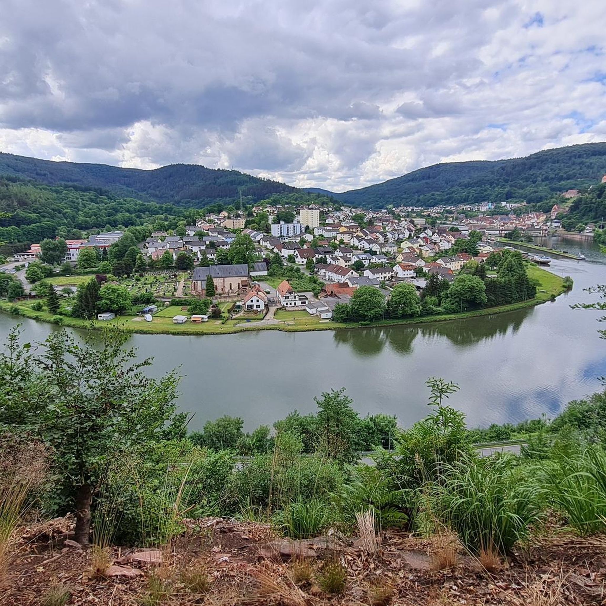
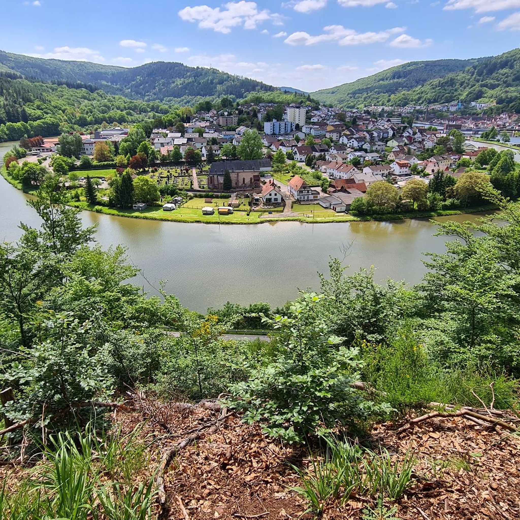
Mountaineering routes around Hirschhorn are set within the dramatic Neckar Valley, characterized by the Neckar River carving its way through the forested Odenwald hills. The region features steep rocky cliffs and wooded slopes, offering a rugged backdrop for ascents. This area, part of the Geo-Naturpark Bergstraße-Odenwald, provides varied terrain from challenging climbs to more moderate paths.
Best mountaineering routes around Hirschhorn
- The most popular mountaineering route is Face in the Tree – Beerfelden Forest Lake Bath loop from Jakobsgrund bei…
Last updated: October 5, 2026
5.0
(1)
1
hikers
Moderate mountaineering route. Good fitness required. Easily-accessible paths. Suitable for all skill levels.
5.0
(2)
2
hikers
22.4km
06:35
610m
610m
Hard mountaineering route. Very good fitness required. Easily-accessible paths. Suitable for all skill levels.

1
hikers
8.47km
02:45
340m
340m
Moderate mountaineering route. Good fitness required. Mostly accessible paths. Sure-footedness required.
5.0
(1)
3
hikers
12.4km
03:46
440m
440m
Moderate mountaineering route. Good fitness required. Easily-accessible paths. Suitable for all skill levels.
5.0
(1)
2
hikers
Moderate mountaineering route. Good fitness required. Easily-accessible paths. Suitable for all skill levels.
Our route recommendations are based on thousands of hikes, rides, and runs completed by other people on komoot.
Start today with a free account
Your next adventure awaits.
Popular around Hirschhorn
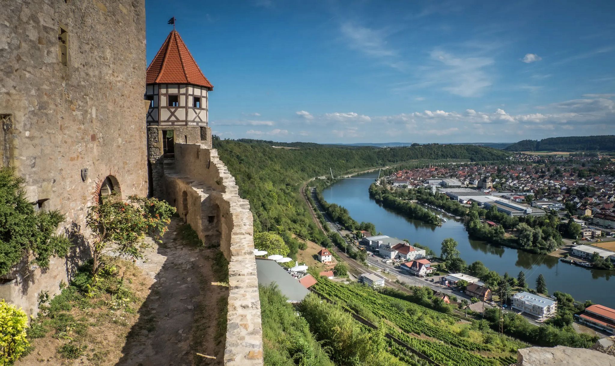
The Neckarsteig trail – 9 stages along the edge of the Odenwald
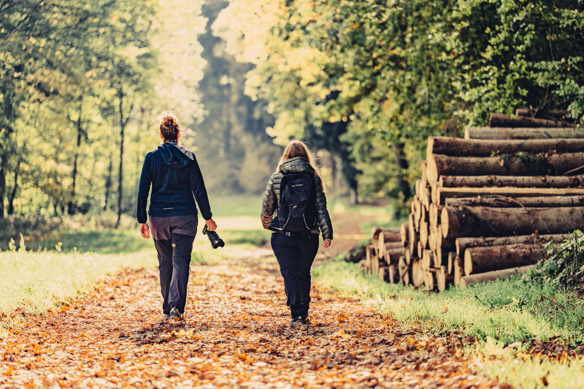
Vibrant and diverse – autumn colors in the Odenwald
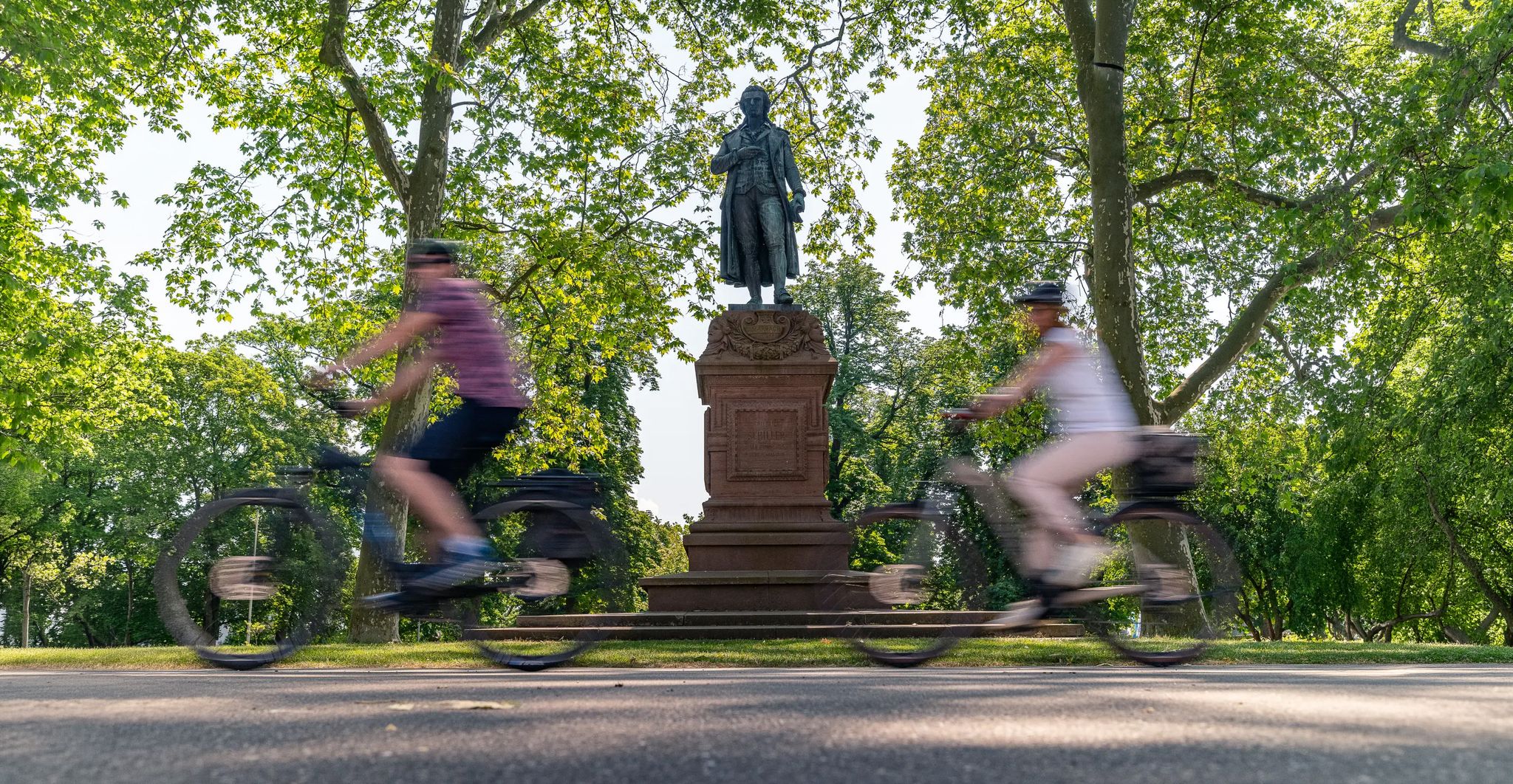
Culture over mileage – cultural Highlights on the Neckar Valley Cycle Path
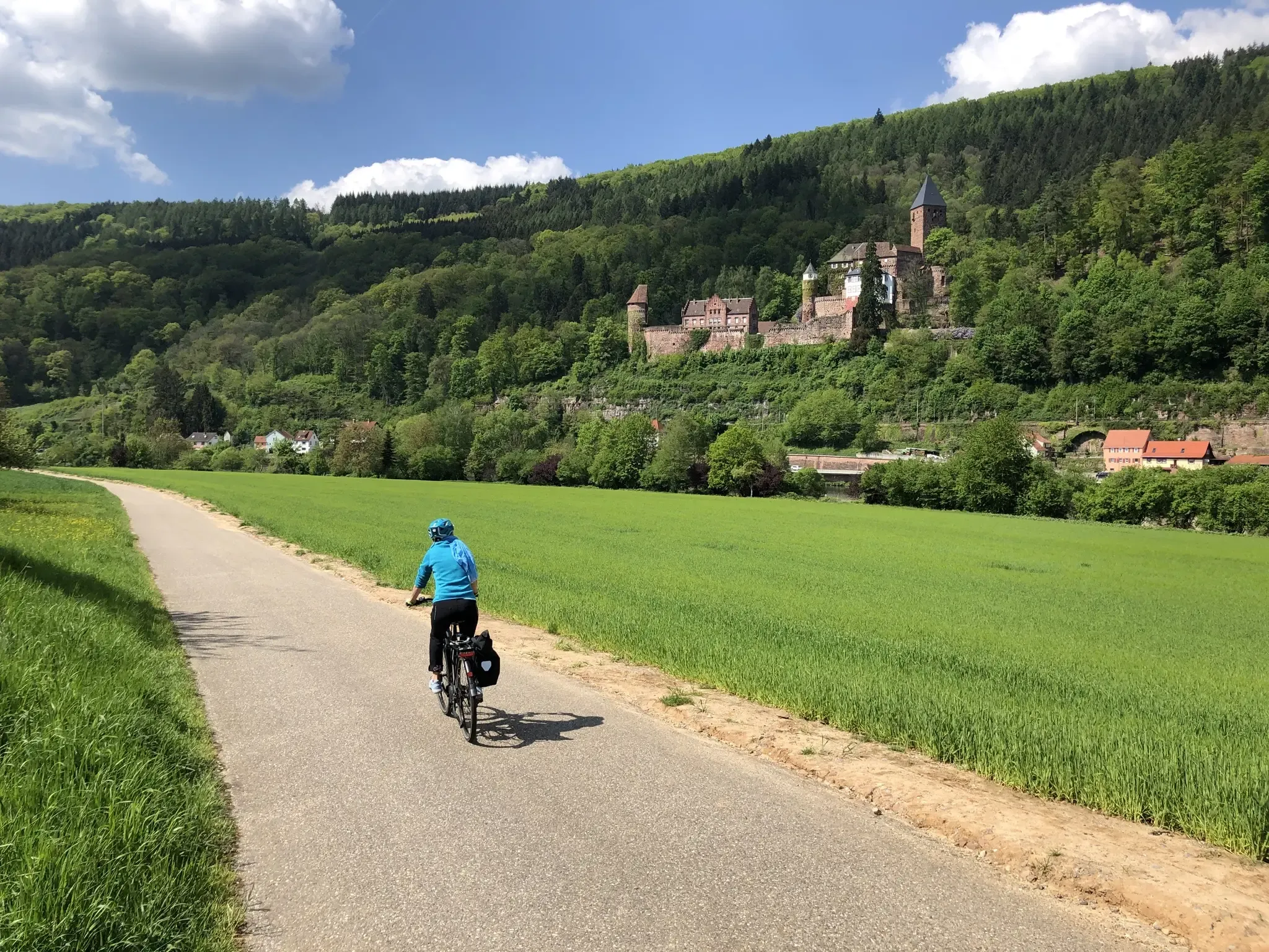
Explore Hessen, BaWü and Bavaria on the 3-Länder Cycle Path
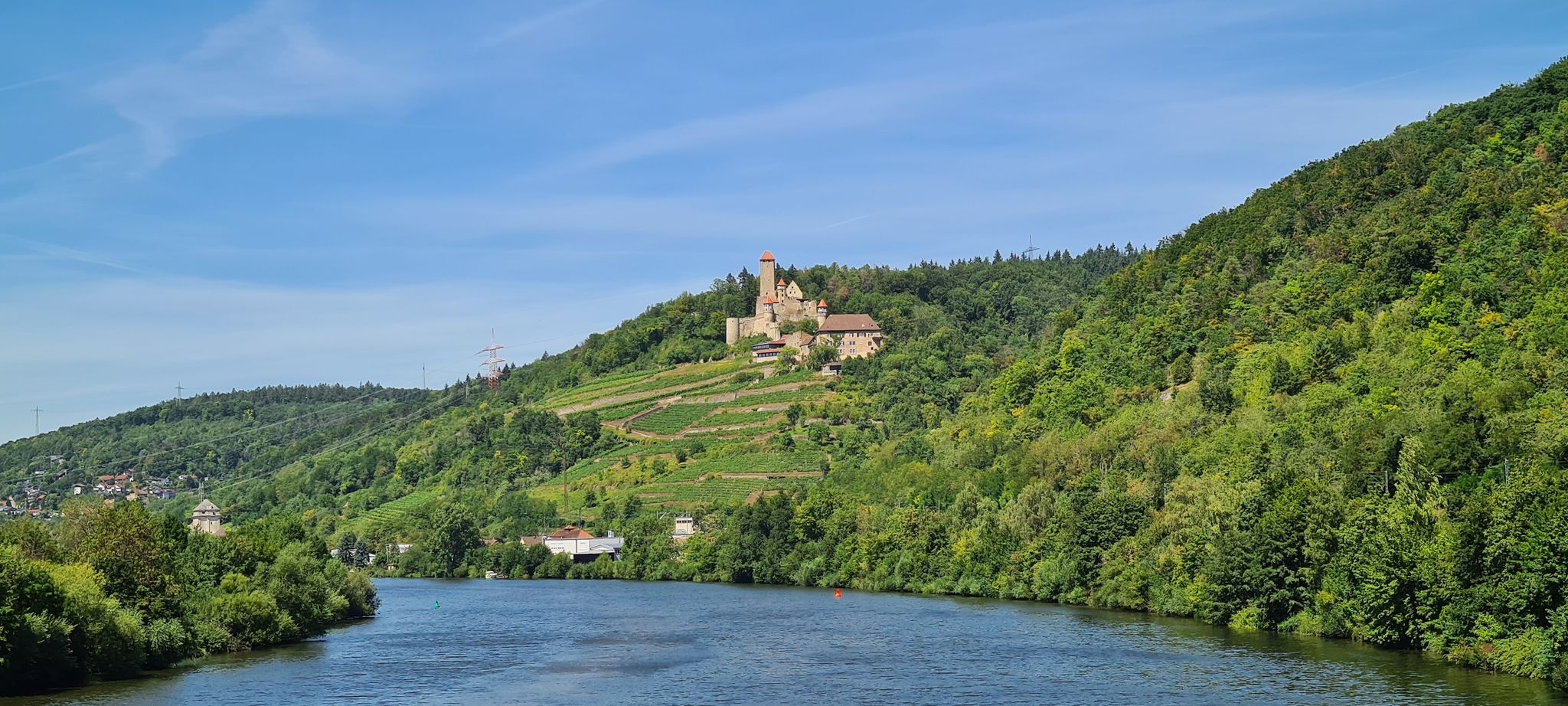
Aktiv in die längeren Tage – Frühlingsradeln im Neckartal und Odenwald
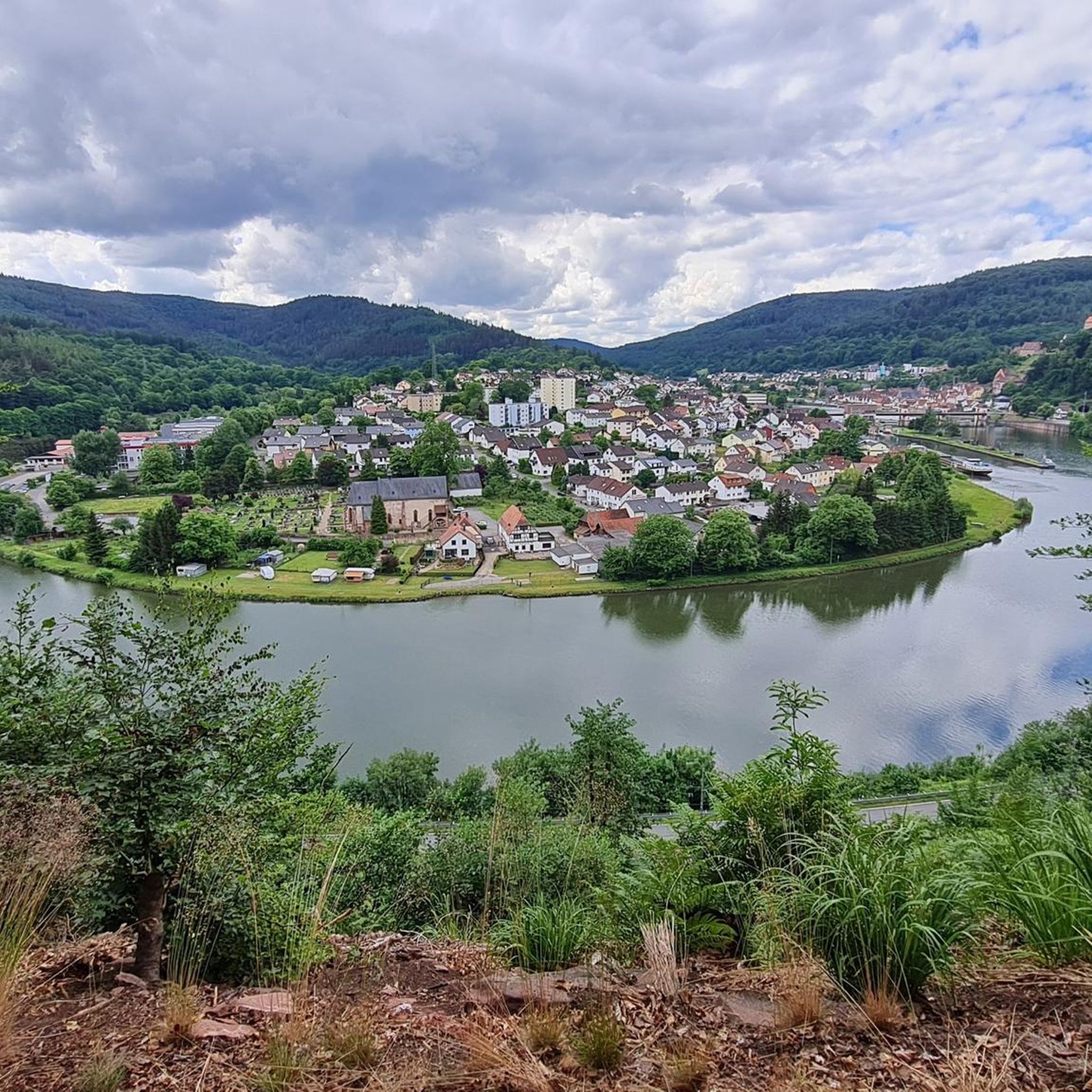
Hiking around Hirschhorn
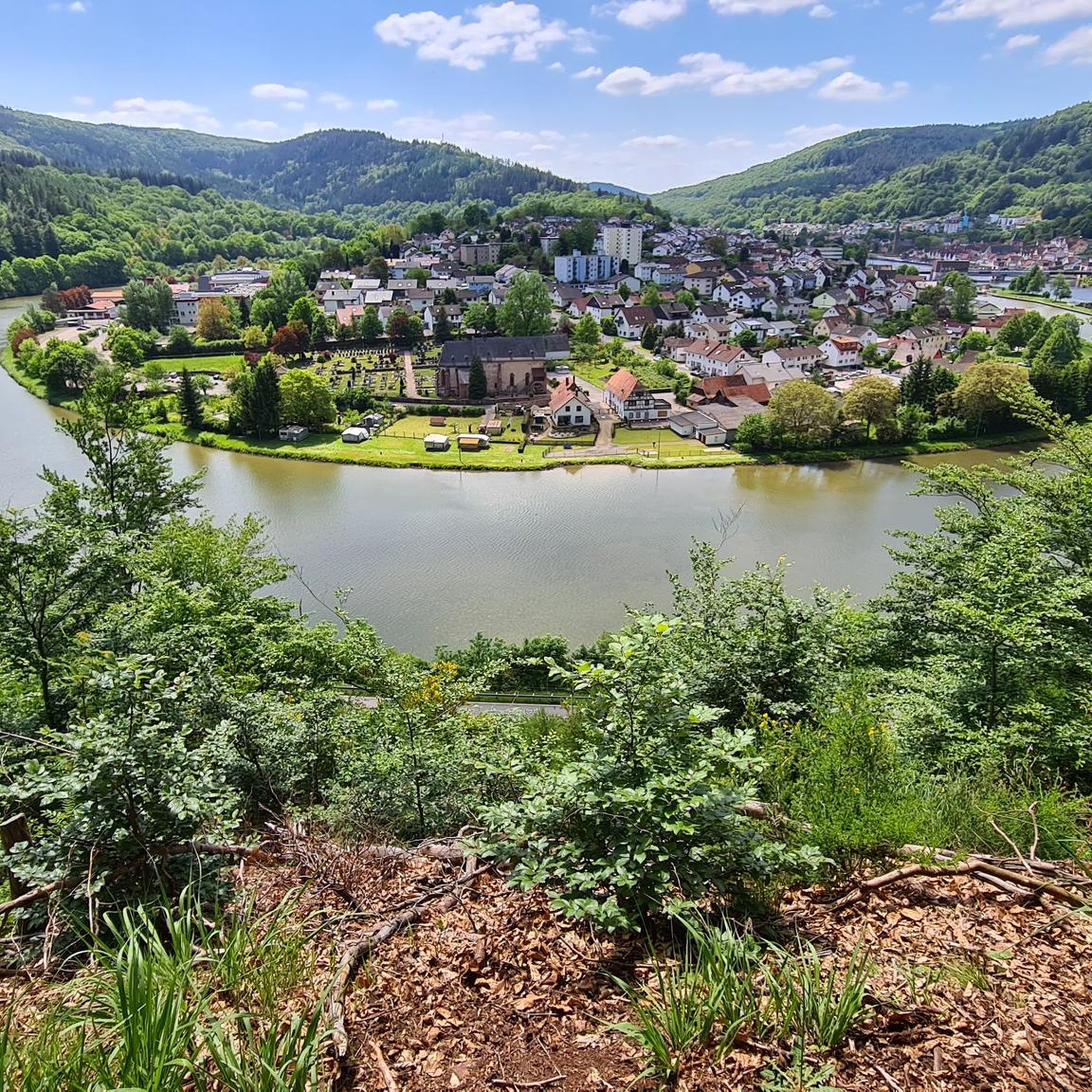
Cycling around Hirschhorn
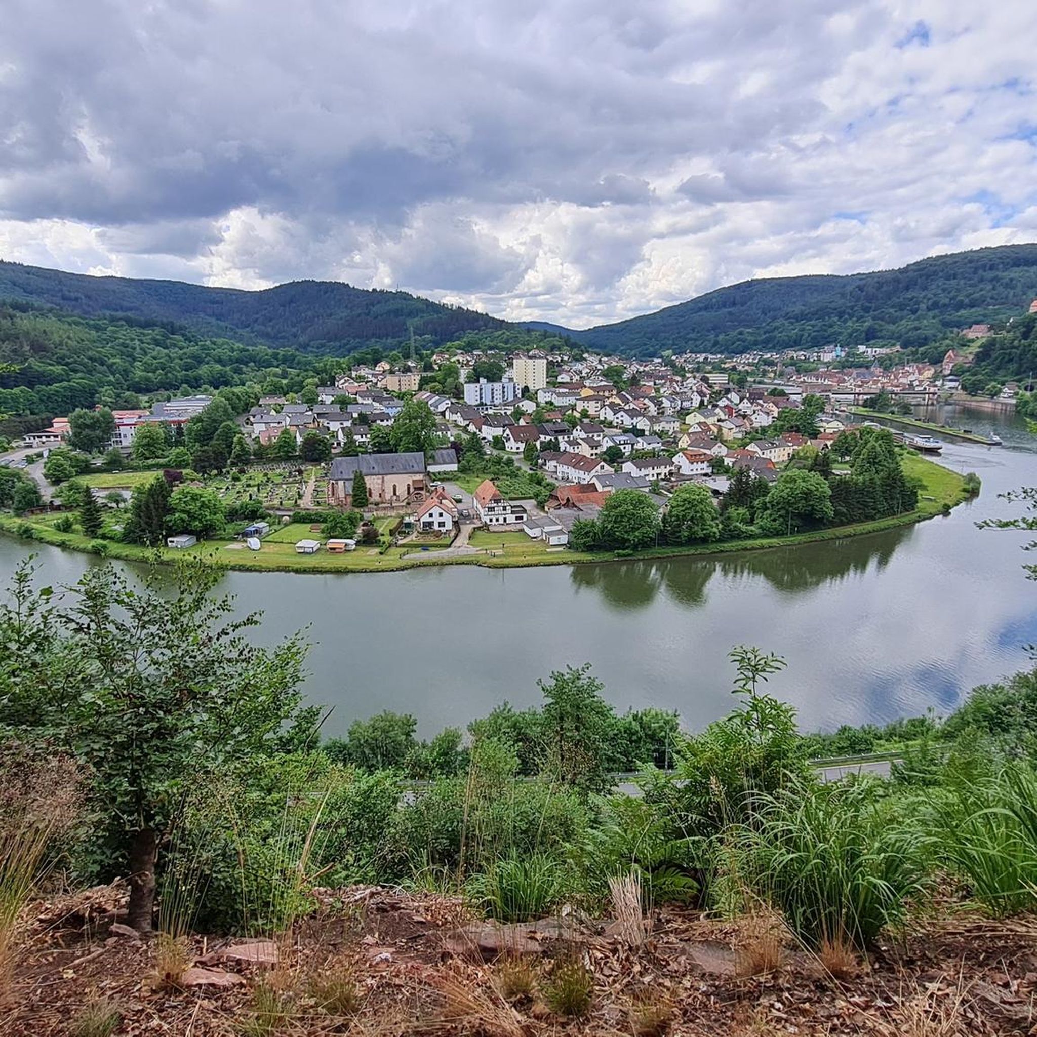
MTB Trails around Hirschhorn
Road Cycling Routes around Hirschhorn
Running Trails around Hirschhorn
Other adventures around Hirschhorn


Tips from the Community


A wonderful spot for a quiet break under the protection of a rock with a roof… great view is included for free
10
0

The small rest area is equipped with two benches and a table with an old stone slab
2
0

At the Katzenbuckelturm, the highest point in the Odenwald, there's an idyllic rest area that offers hikers a well-deserved break. Here, you'll find several seating areas perfect for enjoying the impressive view and recharging your batteries.
10
0
Are there several benches
2
1

Waypoint to the church and Stolzeneck Castle.
6
0

If you've had enough of the view, you can take a break at one of the several benches.
2
0
Frequently Asked Questions
How many mountaineering routes are available around Hirschhorn?
Based on komoot data, there are 6 mountaineering routes around Hirschhorn, offering a range of experiences from moderate to difficult.
Are there any beginner-friendly mountaineering routes in Hirschhorn?
While the routes around Hirschhorn generally lean towards moderate to difficult, the region's diverse terrain means some sections are more accessible. For a moderate option, consider the Stolzeneck Castle Ruins – Heron Lake loop from Burg Stolzeneck, which is 5.3 miles (8.6 km) long and takes about 2 hours 45 minutes.
What kind of terrain can I expect on mountaineering routes near Hirschhorn?
Mountaineering around Hirschhorn is characterized by the dramatic Neckar Valley, with the Neckar River carving its way through the forested Odenwald hills. You'll encounter steep rocky cliffs and wooded slopes, offering a rugged backdrop for ascents. The region, part of the Geo-Naturpark Bergstraße-Odenwald, provides varied terrain from challenging climbs to more moderate paths.
Are there any circular mountaineering routes in the Hirschhorn area?
Yes, many routes in the area are designed as loops. For example, the Face in the Tree – Beerfelden Forest Lake Bath loop from Jakobsgrund bei Gammelsbach is a 10.1-mile (16.2 km) circular trail offering varied forest and lake views. Another option is the View of Eberbach – Old Seed School loop from Eberbach, which is 11.4 miles (11.4 km) long.
What historical sites or viewpoints can I see along the mountaineering routes?
The routes around Hirschhorn offer several points of interest. You can explore the Dilsberg Fortress, or enjoy panoramic views from the Cat hump tower or the Weißer Stein and observation tower. Some routes, like the Eberbach castle ruins – Emichsburg Ruins loop from Eberbach, pass directly by historical castle ruins.
What do other mountaineers enjoy most about the routes in Hirschhorn?
The mountaineering routes in Hirschhorn are highly rated by the komoot community, with an average score of 5.0 stars from 5 reviews. Mountaineers often praise the varied terrain, the dramatic Neckar Valley scenery, and the combination of challenging climbs with historical sites.
Are there any longer mountaineering trails near Hirschhorn for experienced hikers?
For those seeking a longer and more challenging experience, the Eberbach castle ruins – Emichsburg Ruins loop from Eberbach is a difficult 13.9-mile (22.3 km) path with significant elevation gain. The broader Odenwald region also features sections of the Neckarsteig, a long-distance trail with challenging climbs.
What is the best season for mountaineering in Hirschhorn?
Hirschhorn, as a climatic health resort, offers pleasant conditions for outdoor activities. While specific recommendations vary, spring and autumn generally provide ideal temperatures and vibrant scenery for mountaineering. Summer can also be good, but be prepared for warmer weather, especially on exposed sections.
Are there any unique natural features to look out for on the trails?
Beyond the dramatic Neckar River and forested hills, the region is part of the UNESCO Global Geopark Bergstraße-Odenwald, known for its rich geological history. You might encounter interesting rock formations like the Wildeleutestein Rock Formation or even explore the Entrance to the Hermannsgrund Silicate Mine.
Can I find places to eat or drink near the mountaineering trails in Hirschhorn?
Hirschhorn's charming old town, with its medieval half-timbered houses, offers amenities for visitors. While specific cafes aren't listed for each trail, you'll find options within the town itself, which is often a starting or ending point for many routes.
What kind of gear is recommended for mountaineering routes in Hirschhorn?
Given the varied terrain, including steep rocky cliffs and challenging climbs, sturdy hiking boots with good ankle support are essential. Depending on the season, layers of clothing, rain gear, and sufficient water and snacks are also highly recommended. Trekking poles can be beneficial for stability on ascents and descents.
Are there any routes that pass by water features like lakes or rivers?
Yes, the Neckar River is a prominent feature of the region, and many routes offer views of it. The Face in the Tree – Beerfelden Forest Lake Bath loop from Jakobsgrund bei Gammelsbach specifically includes lake views, and the Rockenau Lock and Weir – Stolzeneck Castle Ruins loop from Eberbach passes by the Neckar River and its lock system.
Most popular routes around Hirschhorn
Most popular attractions around Hirschhorn

Get inspired with the komoot mobile app


Explore more
Browse the best Mountain Hikes & Routes in other regions.
