The best mountain hikes around Baden-Baden
5.0
(10)
51
hikers
7
hikes
Mountaineering around Baden-Baden offers diverse terrain within the northern Black Forest, characterized by dense woodlands, rolling hills, and prominent sandstone cliffs. The region features challenging ascents to peaks like Merkur Mountain and Hornisgrinde, alongside scenic trails through river valleys and vineyards. This landscape provides varied opportunities for outdoor activities, from moderate climbs to panoramic viewpoints across the Rhine Valley.
Best mountaineering routes around Baden-Baden
- The most popular mountaineering route is Teufelsmühle Observation Tower – Teufelskammern Sandstone Caves loop from Loffenau, a 6.4 miles (10.3 km) trail that takes 3 hours 38 minutes to complete. This moderate route explores the area around Teufelsmühle and the unique Teufelskammern Sandstone Caves.
- Another top favourite among local mountaineers is Hornisgrinde Summit – Mummelsee loop from Unterstmatt, a moderate 6.7 miles (10.9 km) path. This route ascends to Hornisgrinde, the highest mountain in the northern Black Forest, and passes by the scenic Mummelsee lake.
- Local mountaineers also love the Trail to Batter Fels – View from the Ritterplatte loop from Battertfelsen beim Schloß Hohenbaden, a 2.4 miles (3.9 km) trail leading through the striking Battertfelsen sandstone cliffs, often completed in about 1 hour 18 minutes.
- Mountaineering around Baden-Baden is defined by the dense Black Forest, prominent peaks like Merkur Mountain and Hornisgrinde, and the unique Battertfelsen sandstone cliffs. The network offers options for different ability levels, primarily featuring moderate routes.
- The routes in Baden-Baden are highly rated by the komoot community with an average score of 5.0 stars from 8 reviews. More than 50 mountaineers have used komoot to explore Baden-Baden's varied terrain.
Last updated: July 1, 2026
5.0
(2)
8
hikers
Moderate mountaineering route. Good fitness required. Mostly accessible paths. Sure-footedness required.
7
hikers
10.8km
03:37
370m
370m
Moderate mountaineering route. Good fitness required. Mostly accessible paths. Sure-footedness required.

Sign up for free
7
hikers
Moderate mountaineering route. Great for any fitness level. Mostly accessible paths. Sure-footedness required.
4
hikers
3.35km
01:11
150m
150m
Moderate mountaineering route. Great for any fitness level. Mostly accessible paths. Sure-footedness required.
3
hikers
12.9km
04:02
420m
420m
Moderate mountaineering route. Good fitness required. Mostly accessible paths. Sure-footedness required.
Get access to more routes and recommendations from other explorers.
Sign up for free
Already have an account?
Our route recommendations are based on thousands of hikes, rides, and runs completed by other people on komoot.
Start today with a free account
Your next adventure awaits.
Login or Signup
Popular around Baden-Baden

Mountain Hikes in Bruchgraben

Mountain Hikes in Markbach Und Jagdhäuser Wald
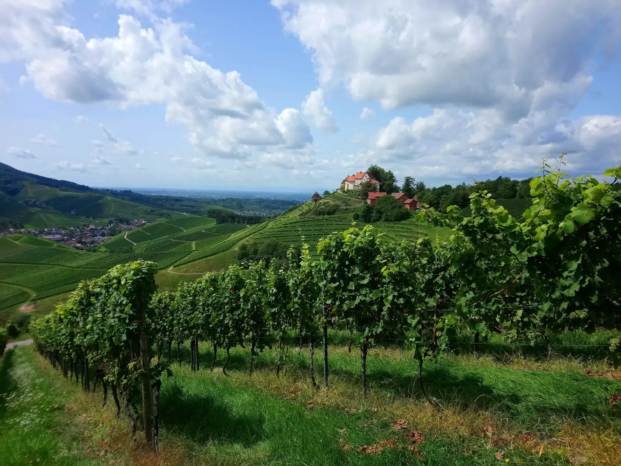
Ortenau Wine Trail – A glass of red and white, please
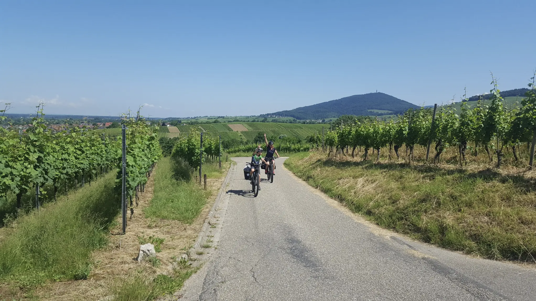
Naturpark cycle way – 4 days through the northern Black Forest
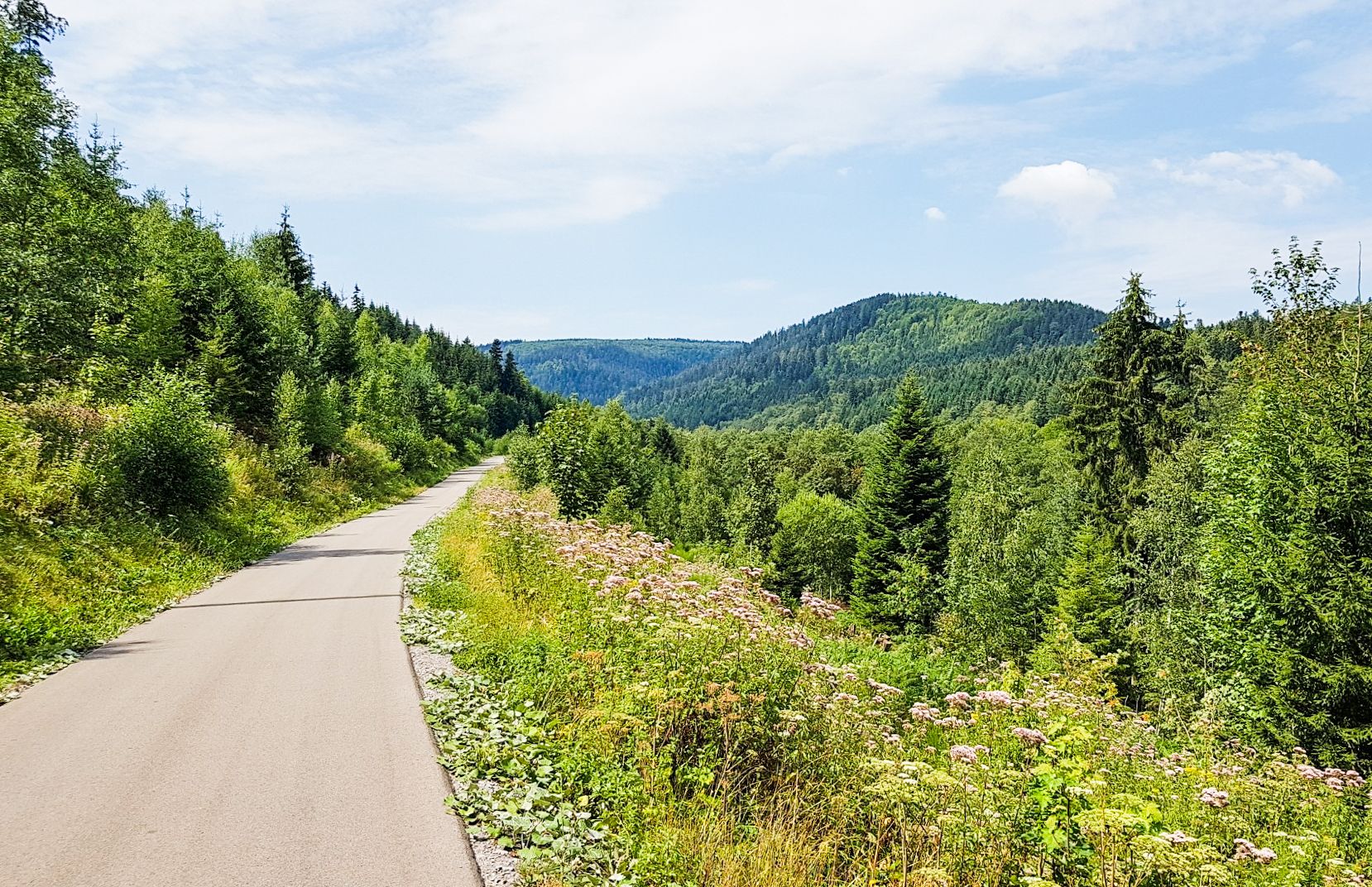
Naturpark cycle way – 4 days through the northern Black Forest

#GoFurther – discover the views of Germany!
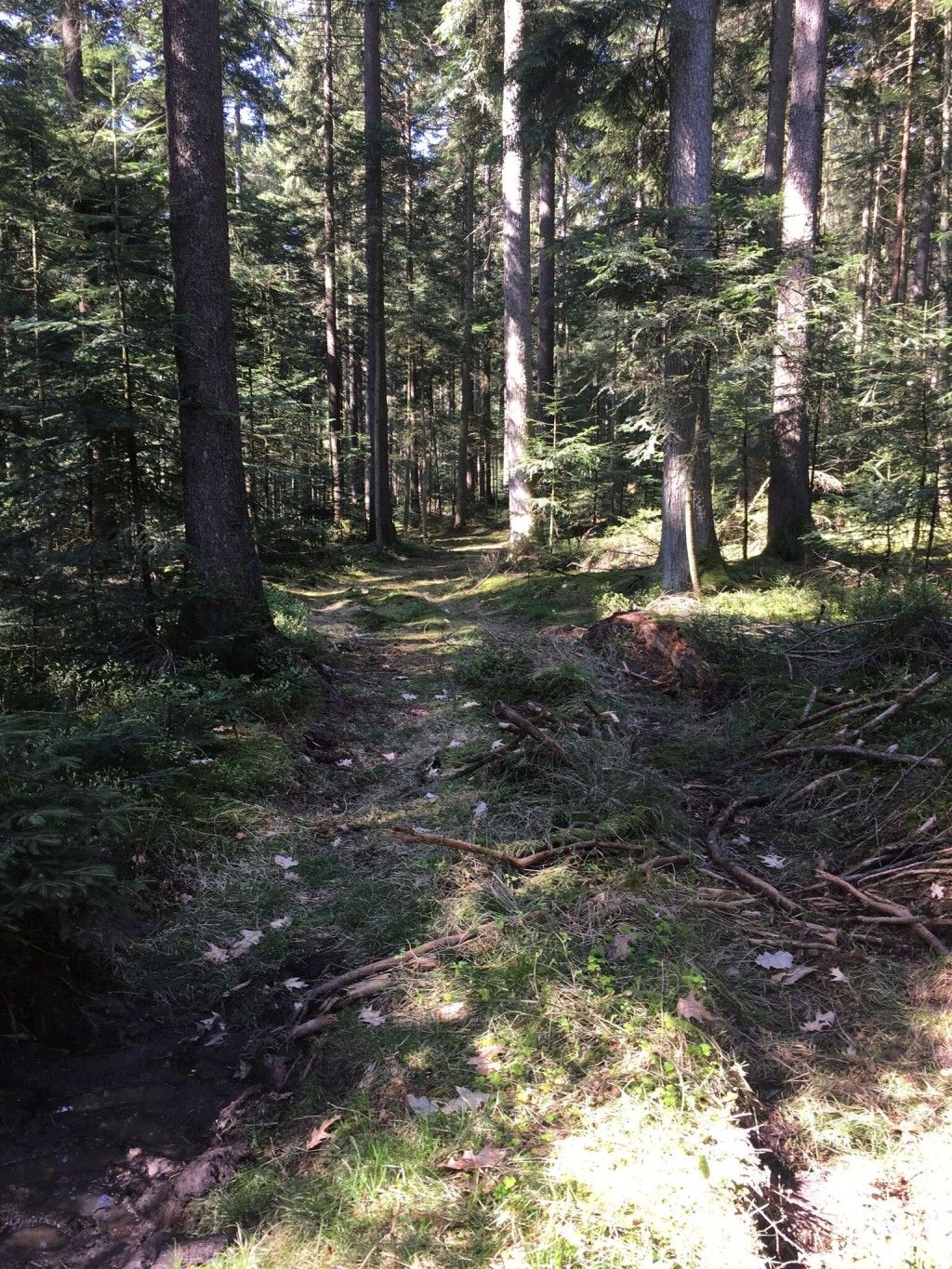
Trekking Schwarzwald 8-day tour from Forbach to Alpirsbach
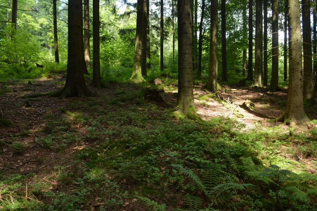
Trekking Schwarzwald 7-day tour from Malschbach to Alpirsbach
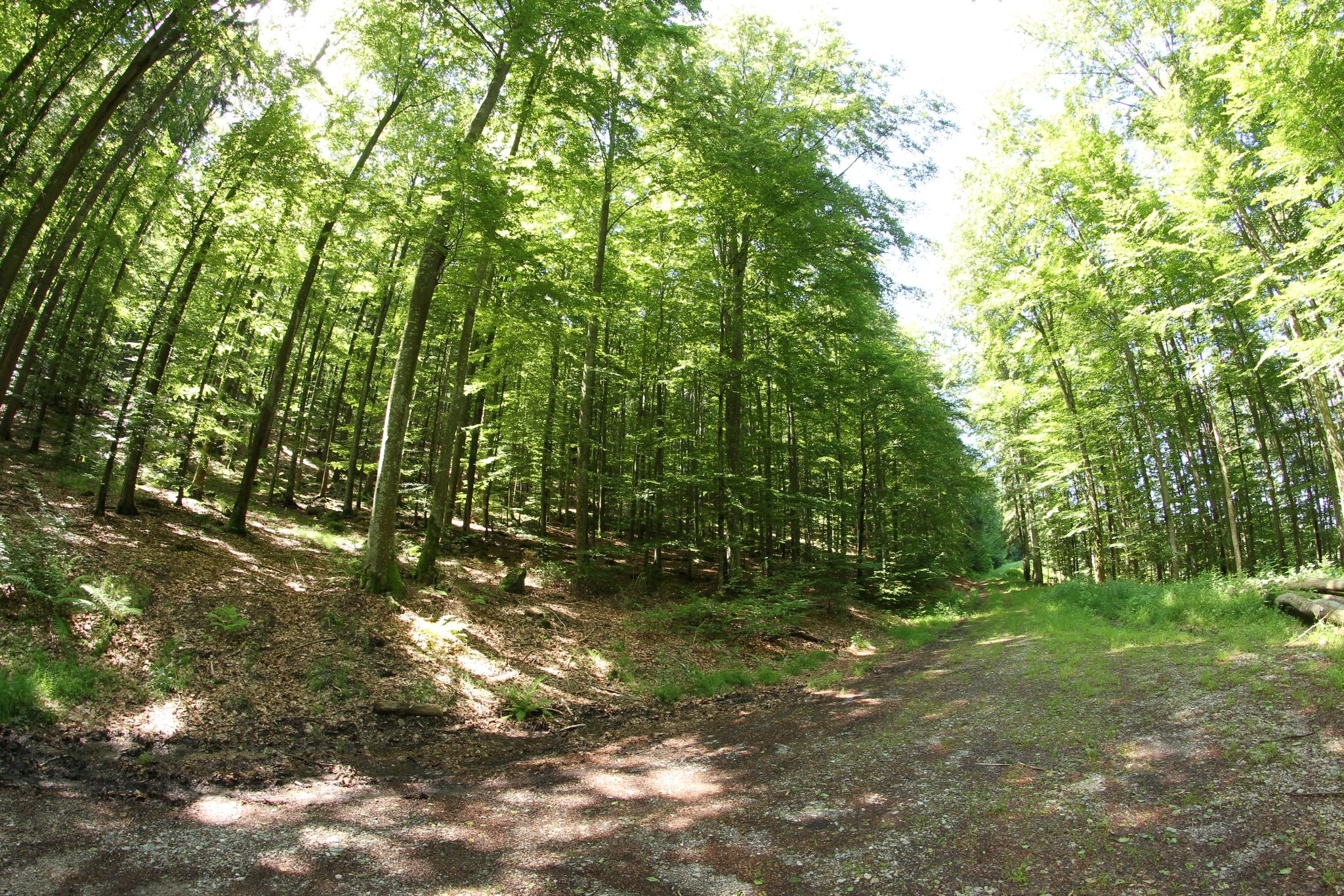
Trekking Black Forest 7-day tour from Forbach to Biberach
Trekking Black Forest 6-day tour from Malschbach to Biberach
Other adventures around Baden-Baden


Tips from the Community

During the "Seebach - Hornisgrinde-MTB Panoramatour", here was a welcome opportunity for a refreshing drinking break. The Grinde-Hütte is characterized by its attractive scenic location and a very inviting and friendly area, which also offers gastronomic services.
0
0

From the Battert, there are always great views of the Nordschwarzwald.
7
0
Just behind the Old Castle of Hohenbaden, a narrow path climbs steeply up to the Battert
7
0

Finally up close to the tower
0
0


Impressive church that can be seen from far away... A visit is worthwhile because of the historic frescoes in the interior
1
1

Sure-footedness is an advantage here
0
0
A path with a little more challenge 😉
0
0
Frequently Asked Questions
What kind of mountaineering routes can I expect around Baden-Baden?
The Baden-Baden region, situated on the edge of the Black Forest, offers a variety of mountaineering experiences. You'll find routes with challenging ascents to prominent peaks like Merkur Mountain and Hornisgrinde, serene forest trails, and paths through unique sandstone cliffs such as the Battertfelsen. The terrain primarily features moderate routes, suitable for a range of fitness levels.
Are there any circular mountaineering routes in the area?
Yes, many of the mountaineering routes around Baden-Baden are designed as circular paths, allowing you to start and end at the same point. For instance, you could explore the Teufelsmühle Observation Tower – Teufelskammern Sandstone Caves loop from Loffenau, which takes you through fascinating rock formations, or the Hornisgrinde Summit – Mummelsee loop from Unterstmatt, offering panoramic views and a mystical lake.
What are some notable natural features or landmarks I can see on these routes?
The region is rich in natural beauty and historical landmarks. You can encounter the striking Battertfelsen Trail with its impressive sandstone cliffs, offering views from points like Ritterplatte. The Wolf Gorge is another geological natural monument worth exploring. Many routes also lead past the ruins of Old Castle Baden-Baden, providing historical context and scenic vistas.
Are there any routes that pass by waterfalls?
Yes, you can find routes that lead to beautiful waterfalls. The Geroldsauer Waterfall is a particularly picturesque spot, known for its cascades through moss-covered rocks. Some trails, like the Geroldsauer Wasserfallweg, are specifically designed to showcase this natural attraction.
What is the best time of year for mountaineering in Baden-Baden?
The Black Forest region around Baden-Baden is beautiful year-round. Spring brings blooming flora, while summer offers lush greenery and pleasant temperatures. Autumn is particularly scenic with vibrant fall foliage. While winter mountaineering is possible, some higher trails might be covered in snow, requiring appropriate gear and caution. Always check local conditions before heading out.
Are the mountaineering routes around Baden-Baden suitable for families?
Many routes in the Baden-Baden area are suitable for families, especially those looking for moderate challenges. While the guide focuses on mountaineering, which implies some elevation gain, there are paths that are less strenuous. For example, the shorter Trail to Batter Fels – View from the Ritterplatte loop is a moderate option that can be completed in about an hour and a half, offering engaging rock formations and views.
Can I bring my dog on the mountaineering trails?
Generally, dogs are welcome on most hiking and mountaineering trails in the Black Forest region. However, it's always advisable to keep them on a leash, especially in nature reserves or areas with wildlife. Be mindful of other hikers and ensure your dog is well-behaved. Always carry water for your pet, especially on longer routes.
What do other mountaineers say about the routes in Baden-Baden?
The mountaineering routes around Baden-Baden are highly regarded by the komoot community, with an average rating of 5.0 stars from 8 reviews. Over 50 mountaineers have used komoot to explore this varied terrain, often praising the diverse landscapes, from dense forests to panoramic viewpoints, and the well-maintained paths.
Are there options for parking near the trailheads?
Yes, many popular trailheads around Baden-Baden, especially those leading to prominent features like Merkur Mountain, Battertfelsen, or the starting points for routes into the Black Forest, offer designated parking areas. It's always a good idea to check specific route descriptions for parking information before you go.
Can I reach the mountaineering trailheads using public transport?
Baden-Baden has a good public transport network, and some trailheads are accessible by bus. For example, Merkur Mountain can be reached via the Merkur Funicular Railway, which is connected to the city's bus system. For routes deeper into the Black Forest, you might need to combine bus travel with a short walk to the starting point. Checking local bus schedules is recommended.
Are there any cafes or restaurants near the mountaineering routes?
Yes, you'll find various refreshment options, especially near popular attractions or at the start/end points of some routes. For instance, around Merkur Mountain, there are facilities at the summit. In villages like Loffenau or Unterstmatt, which serve as starting points for longer tours, you can often find traditional Black Forest inns or cafes to refuel after your hike.
Most popular routes around Baden-Baden
Most popular attractions around Baden-Baden

Get inspired with the komoot mobile app


Didn’t find what you were looking for?
Check out more Mountain Hikes & Routes throughout Baden-Baden below and find the perfect route in your destination.
Explore more
Browse the best Mountain Hikes & Routes in other regions.
